
Cevennes National Park Guide: Where to Go and How to Plan
Plan a trip to Cevennes National Park: where it is, the best hikes and villages, when to go, how to get there without a car, and where to base yourself.
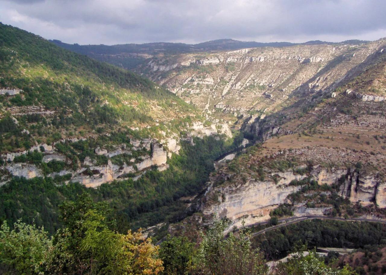
Last updated November 2026. Cevennes National Park sits in the Massif Central in southern France, across Lozère, Gard and Ardèche, with a small part in Aveyron. It suits walkers and slow drivers who prefer lived-in villages, chestnut terraces and long ridges to glaciers, and Florac is the practical gateway. It is one of several parks in our guide to French national parks.
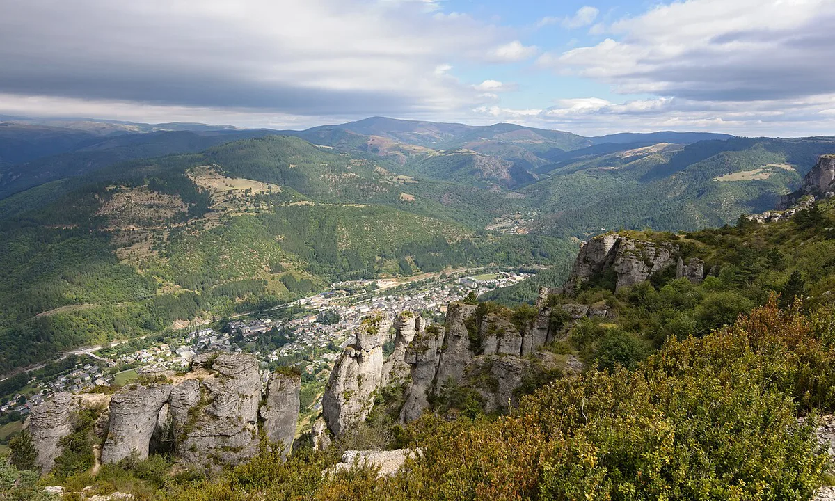
Featured image: Marek Ślusarczyk (Tupungato) Photo gallery, CC BY 3.0, via Wikimedia Commons.
Cevennes National Park at a glance
This is a lower-altitude, inhabited park. Farms, hamlets and stone terraces share the landscape with forest, high grassland and river gorges. Boundary details, rules and visitor information are published on the official park website. Treat the park as a base for walking and village-hopping rather than a single scenic stop.
- Where: Massif Central, mainly Lozère, Gard and Ardèche, with a small part of Aveyron.
- Gateway: Florac.
- Best for: hikers, slow road trippers, food-minded travelers.
- Poor fit: visitors who want jagged alpine peaks, or short stops without a car.
- Season in one line: spring and autumn suit walking best, while summer heat bites on the lower slopes.
Where Cevennes National Park sits and how it is laid out
Park boundaries are narrower than the loose, regional meaning of "Cévennes". The park's own map shows whether a famous village or viewpoint actually lies inside it. Four sub-areas shape most trips. Florac works as the base for all of them, and each sub-area suits a different kind of day.
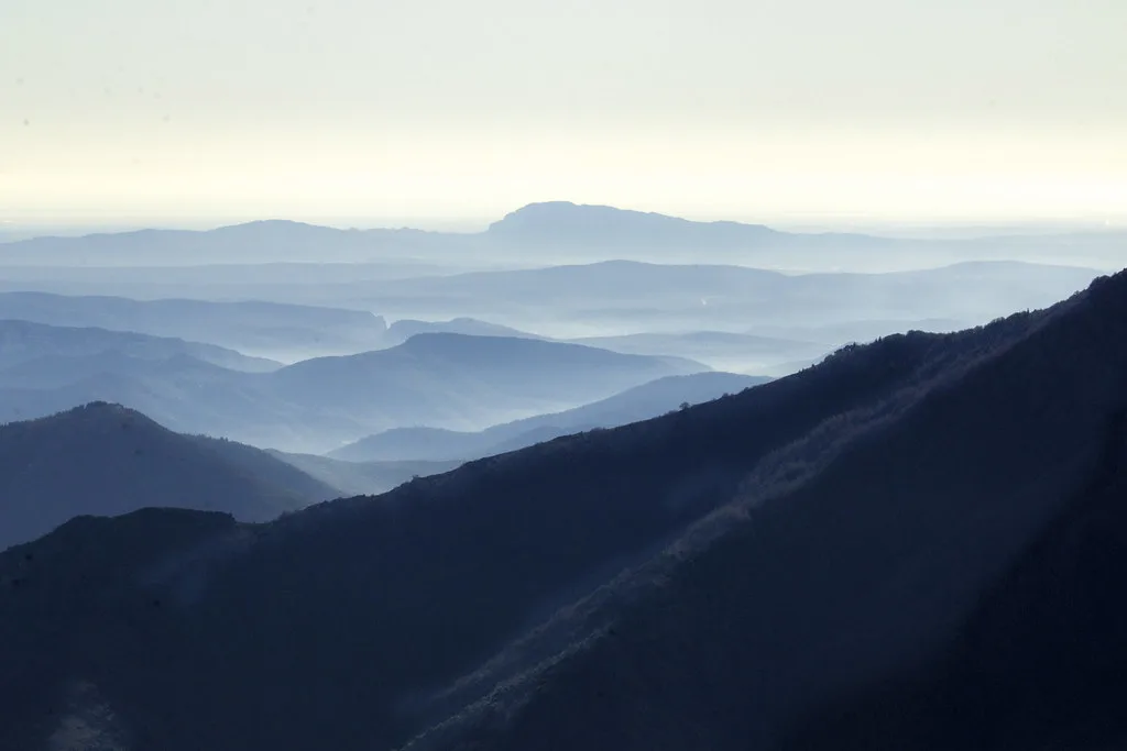
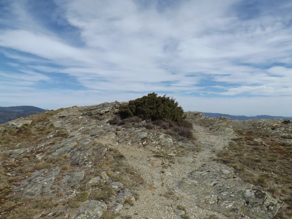
- Mont Lozère: a high granite summit, listed at 1,699 m (about 5,574 ft), with open moorland and long walking days.
- Mont Aigoual: a high massif topped by a weather observatory dating from 1894.
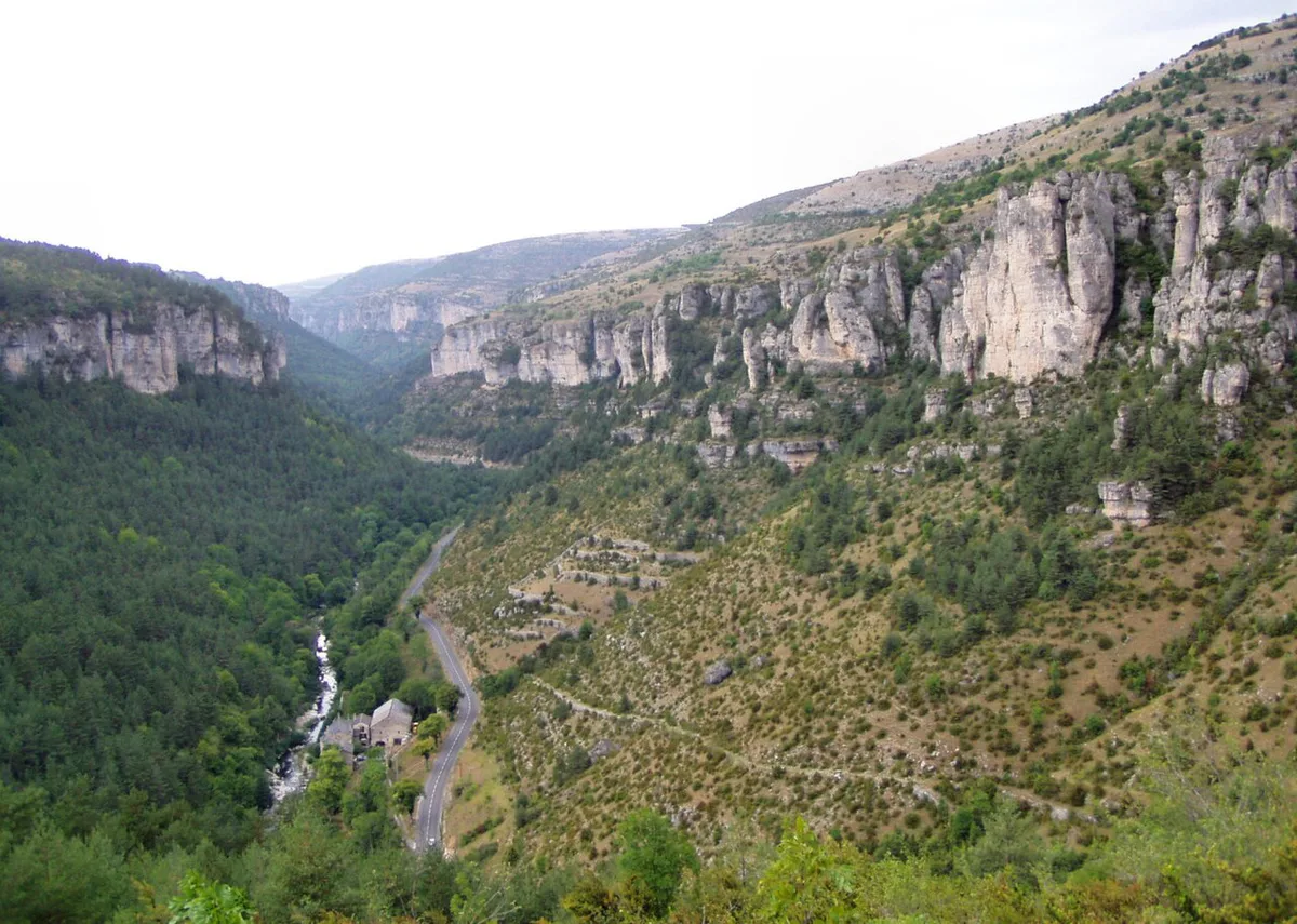
- The Causses and the Gorges du Tarn area: limestone plateaus cut by deep river canyons.
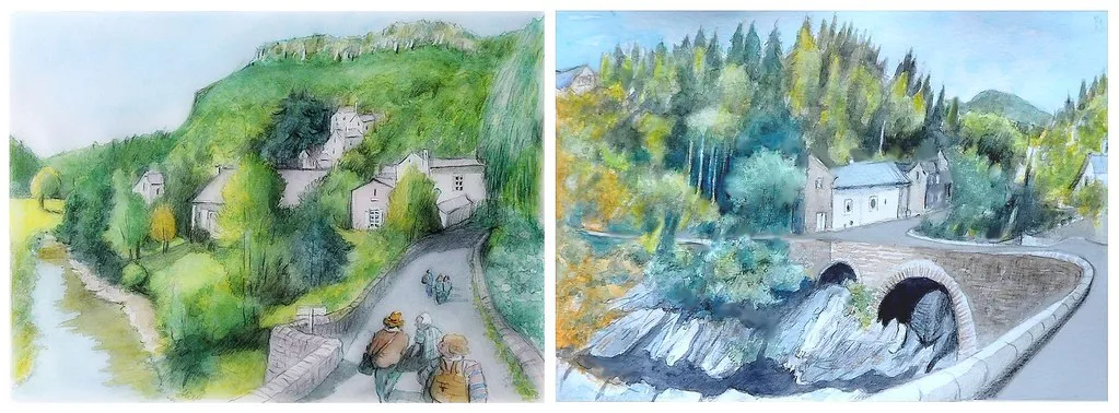
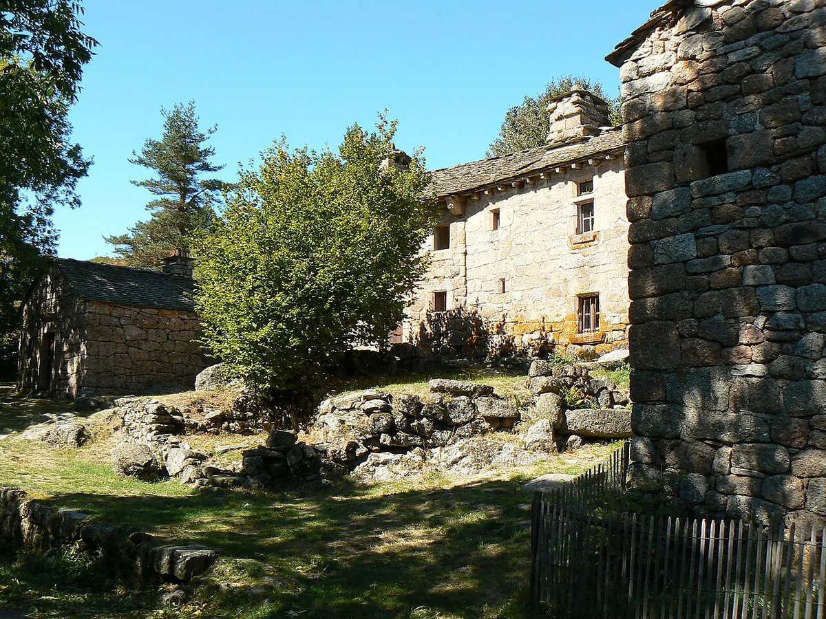
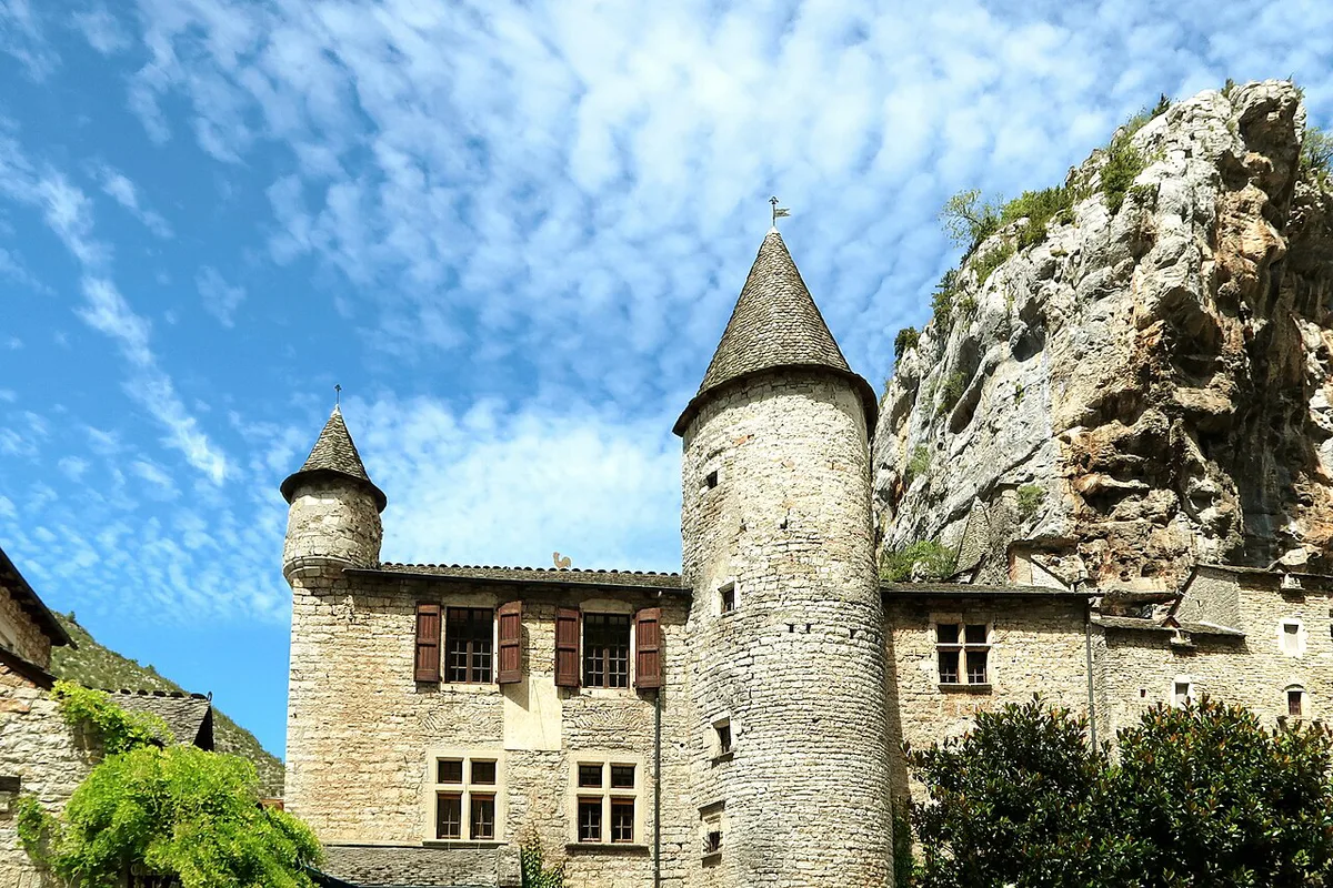
- The schist valleys: terraced slopes, chestnut woods and stone villages around Florac.
Best things to do in the Cévennes
Walking is the main draw. The GR70, known as the Stevenson Trail, follows the route Robert Louis Stevenson crossed in 1878, and it is the best-known long-distance option. Short summit walks on Mont Lozère and Mont Aigoual give a half-day alternative. Dargilan cave, known as the pink cave, adds a rainy-day stop. Markets in Florac, Mende and Alès are good for a slower morning. Transhumance, the seasonal movement of sheep herds, remains part of local farming, so ask the park office where it can be seen. Rivers allow swimming and fishing in summer. Travelers heading toward the Ardèche gorges can add the Pont d'Arc natural arch as a side trip.
- Stevenson Trail (GR70): multi-day, moderate to demanding, best in spring and autumn.
- Summit walks on Mont Lozère and Mont Aigoual: half-day to full day, moderate effort.
- Dargilan cave: a half-day stop, useful in poor weather.
- Village markets: a morning each, in Florac, Mende and Alès.
How long to plan and sample itineraries
Mountain roads are slow, so allow more time than the map suggests. Compressing the trip means sampling villages from the car instead of walking between them.
- One day: base in Florac, walk one short loop nearby and eat at a local market or café.
- Two to three days: add a summit walk on Mont Lozère or Mont Aigoual and a visit to the Causses and Gorges du Tarn area.
- Five days or more: walk part of the Stevenson Trail, or stay in two bases to cut daily driving.
Getting there and getting around
A car makes the park far easier. Main road access runs through Nîmes, Alès and Millau. Trains serve Nîmes, Alès and Mende, with local buses continuing into the villages, so check SNCF and regional bus timetables before you build a car-free plan. Public transport rarely reaches trailheads, which means walkers should plan transfers or taxis. Fuel up and buy food before long trail sections, because small villages have limited shop hours and weak mobile signal is possible in the valleys.
Costs, access and rules
No verified entry, parking or gîte prices are available for this page. Check the national parks portal and the park site for current fees, seasonal closures, fire rules and wild-camping limits.
Where to stay
Pick a base by how you plan to move. A single base cuts packing and driving, while trail gîtes suit walkers who move daily.
| Base | Best for | Car needed? | Main trade-off |
|---|---|---|---|
| Florac | First visit, central access | Helpful | Busy on market days |
| Anduze | Entry point from the Gard side | Helpful | Further from Mont Lozère |
| Trail gîtes | Stevenson Trail walkers | No, on foot | Booking ahead in season |
| Campsites | Families and budget stays | Usually | Heat on lower slopes in summer |
When to go
Spring and autumn are the most comfortable seasons for walking. Autumn adds chestnut season and colour. Summer heat is strongest on the lower slopes, so plan walks early. Winter brings weather on the high ground, and some roads and facilities may close. Do not assume year-round services in small villages, and confirm opening dates for gîtes and cafés on your route.
Mont Lozère reaches 1,699 m, and winter weather on high ground is one reason to look at conditions before booking a summit walk.
Food and local products
Chestnuts feature in both sweet and savory dishes. Pélardon, a local goat cheese, and regional charcuterie are easy to buy at markets in Florac, Mende and Alès. Chestnut festivals run in autumn, but dates change, so look them up on local tourism pages before you plan around one.
Wildlife and visitor rules
Red deer, griffon vultures and Mediterranean mouflon are reported in the park, and wolf sightings have also been mentioned. Keep dogs under control, stay on marked trails and keep noise low near livestock. The park's visitor pages list the current rules.
Cevennes vs other French national parks
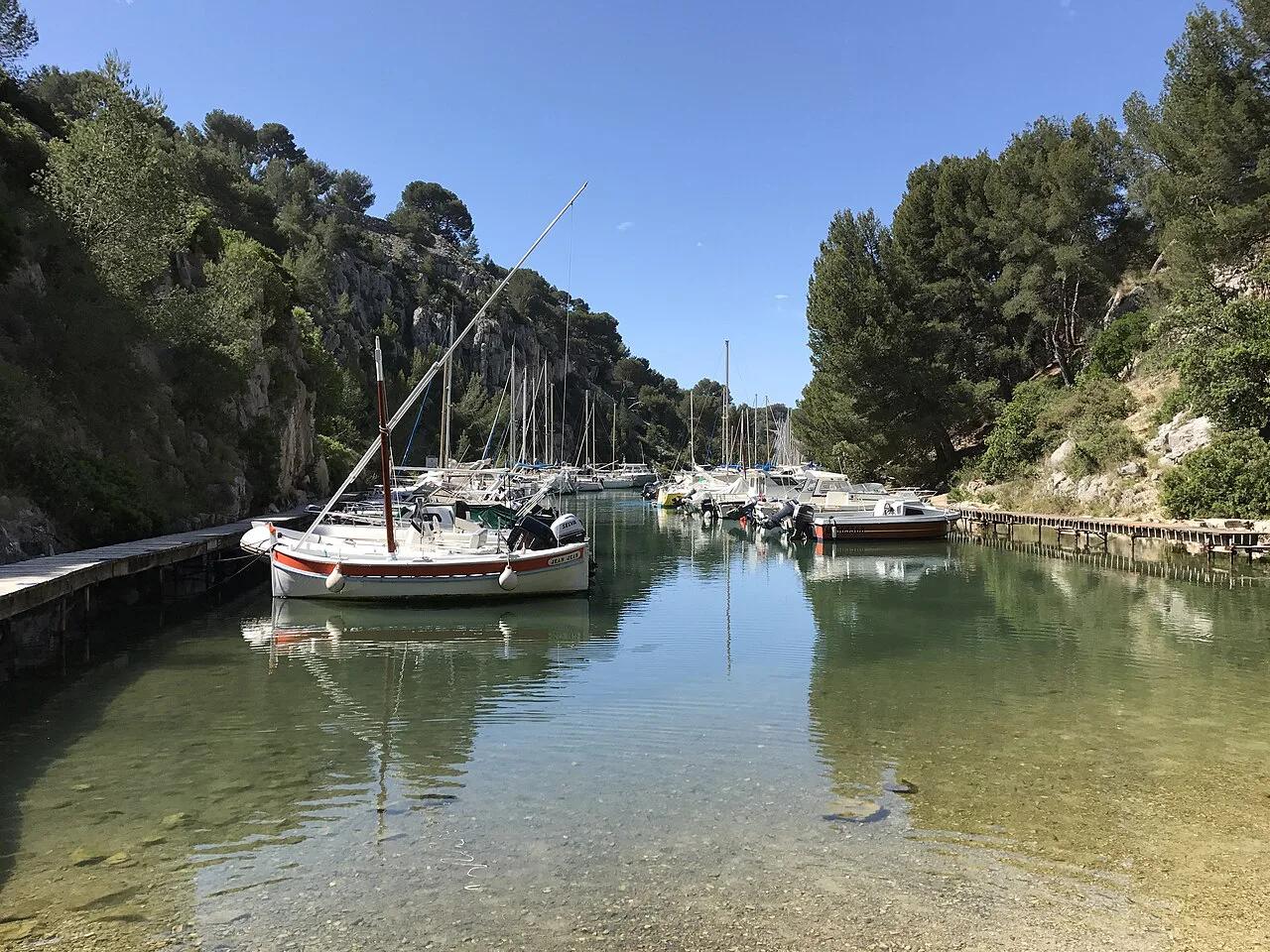
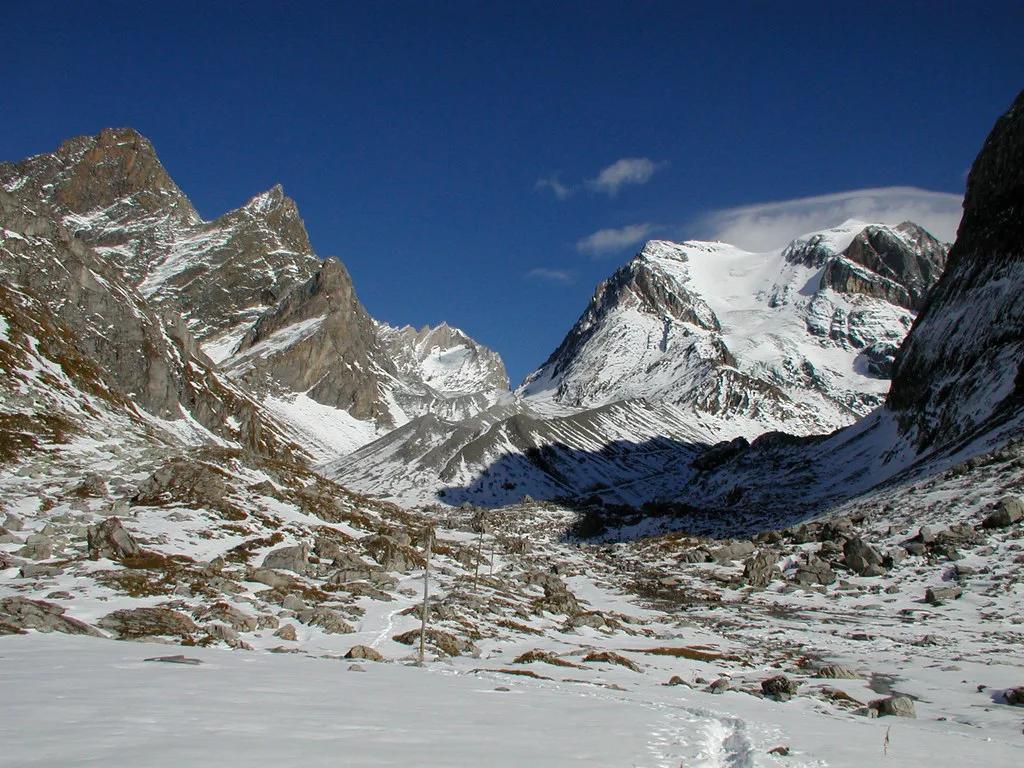
Choose the Cévennes for rolling schist country, chestnut terraces and lived-in villages. Choose the Alps and Pyrenees for high peaks. Mercantour and Vanoise offer alpine terrain. The Écrins and Pyrenees parks are better for higher mountain days. For a Mediterranean island contrast, see Port-Cros. Our ranking of the 7 Best National Parks in France: Pick by Trip Type helps you compare them side by side.
Frequently Asked Questions
What are the most beautiful villages in the Cévennes?
Florac is the practical gateway, with markets and easy access to the park. Anduze is another village often used as an entry point on the Gard side. Look at the park's visitor pages for smaller villages near your route.
How do you pronounce Cévennes?
English speakers usually say it close to "say-VEN". The final "nes" is silent in standard French.
Notes for your next park visit
Optional updates to our national park guides.
Read next

Keep planning
Picked from the same area