
Garajonay National Park Guide: La Gomera Laurel Forest
Plan Garajonay National Park on La Gomera: how to get there, best walks, weather and fog, day trip vs overnight, and what to check before you go.
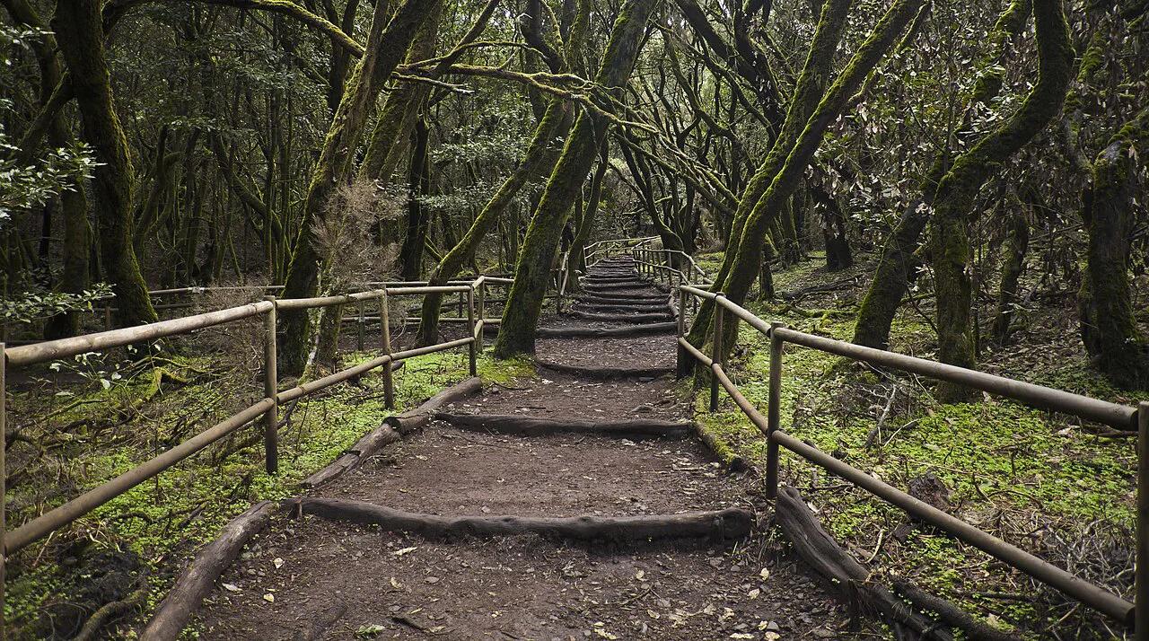
Last updated November 2026: Garajonay National Park is a laurel-forest (laurisilva) reserve in the highlands of La Gomera, Canary Islands. Spain created the park in 1981, and it is a UNESCO World Heritage Site. Expect a misty, mossy forest rather than a coastal or volcanic-desert park. Below you will find access from Tenerife, walk choices, fog and weather, and a day-trip-versus-overnight decision. For the wider picture, start with our guide to 16 National Parks in Spain: Complete Guide and Planning Tips.
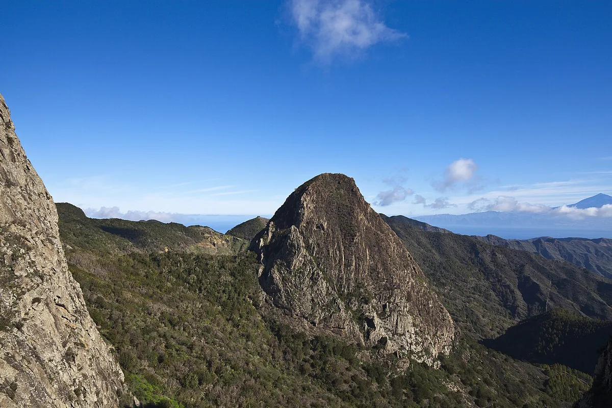
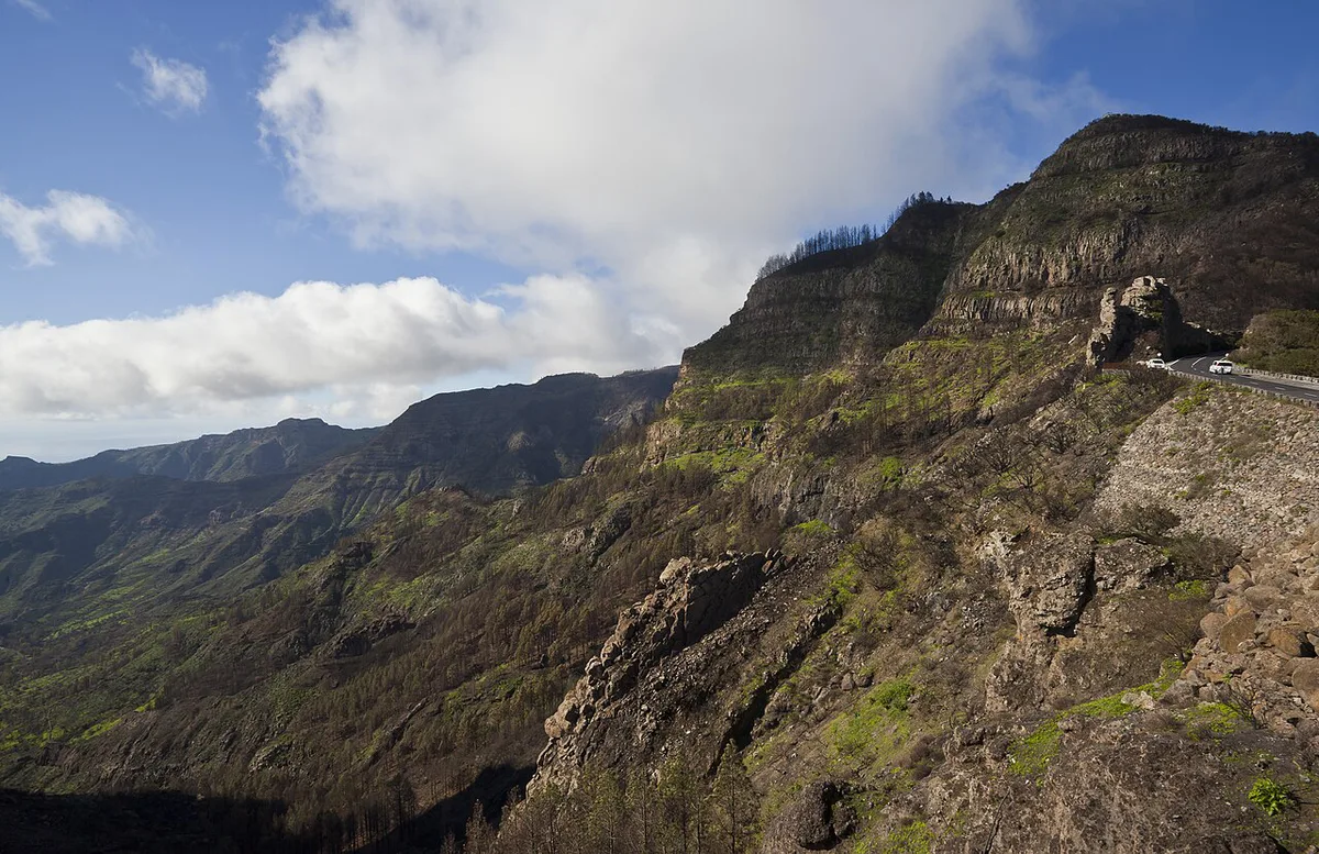
Featured image: Diego Delso, CC BY-SA 3.0, via Wikimedia Commons.
Garajonay National Park at a glance
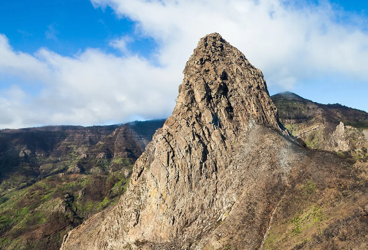
Garajonay occupies the highlands at the centre of La Gomera. Almost 4,000 hectares of forest hold about 484 plant species. Mocán, palo blanco, barbusano, heather and faya are among them. Trees in the wettest valleys top 30 metres. Horizontal fog rain carried by the trade winds feeds the whole system, so cloud is part of the park, not a flaw in your plans. Park rules, access and conservation details sit on the official MITECO park page.
- Created: 1981, with UNESCO World Heritage listing tied to the same year
- Area: almost 4,000 hectares
- Plant species: about 484
- Name: taken from Alto de Garajonay, where archaeological remains linked to pre-European rituals were found
- Entry fee and visitor-centre hours: see the official park page
Is Garajonay worth visiting? Who it suits
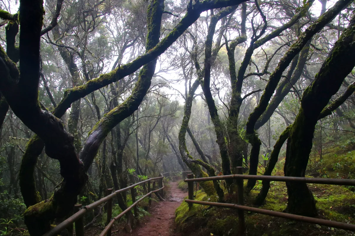
First-timers get the clearest payoff from a half-day stop at Las Bolas and one short forest walk. Hikers can stack several walks across a full day or more. Day-trippers from Tenerife can see the forest in one long day, though the ferry timetable sets the pace. Skip the park if your priority is beaches or a guaranteed summit panorama. Cloud often sits on the crest, and that same cloud is what keeps the forest alive. Photographers and anyone who likes moss, lichen and twisted trunks will find more here than in a typical dry-weather viewpoint stop.
How to get to Garajonay National Park
Most visitors arrive by ferry from Los Cristianos on Tenerife to San Sebastián de La Gomera. Others fly into La Gomera airport. From either point you continue by road into the highlands. Las Bolas visitor centre can be reached by car, bus or bicycle from San Sebastián. Island roads are winding mountain roads, so allow more time than the map distance suggests. Ferry and bus timetables change by season, so read the current operator sites before you fix a day trip.
- Ferry: Los Cristianos (Tenerife) to San Sebastián de La Gomera
- Air: La Gomera airport, then road transfer to the highlands
- Car: the most flexible way to link several stops
- Bus: workable for Las Bolas, with limited flexibility between trailheads
- Guided tour: removes driving and timetable stress
Best things to do in Garajonay
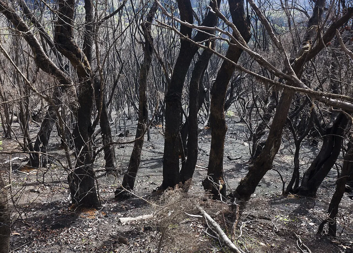
Pick stops by effort and by how much cloud you can tolerate. Alto de Garajonay is the summit that gives the park its name. Laurel forest walks give you the mossy, dripping interior. Las Bolas works as a first orientation stop. Trail lengths and closures change, so confirm them at the visitor centre or on the official page.
| Option | Effort | Time band | Best for | Caveat |
|---|---|---|---|---|
| Alto de Garajonay summit stop | Low to moderate | Short | First-timers, archaeology and history fans | Cloud can hide any view |
| Laurel forest walks | Moderate | Half day | Hikers, photographers | Wet, slippery ground |
| Las Bolas visitor centre | Low | Short | Orientation and trail advice | Check opening hours first |
| Viewpoints along the highland roads | Low | Short stops | Drivers with limited time | Winding roads, slow driving |
| Village stops such as Agulo or Hermigua | Low | Flexible | Meals and a break from the forest | Bring cash and snacks |
How to plan your time
Treat these as decision guides, not fixed itineraries. A half day suits Las Bolas plus one walk. A full day lets you add the summit and a second walk. Two to three days let you wait out poor weather and walk without watching the ferry clock. Overnight stays also let you catch the forest at sunrise, which rural lodgings near Las Bolas make possible.
- Half day: Las Bolas, one short walk, one viewpoint
- Full day: Las Bolas, Alto de Garajonay, one longer forest walk
- 2–3 days: spread walks over different weather windows and add village time
- Day trip from Tenerife: choose it only if the return ferry leaves you a safe buffer
- Overnight: choose it if you want sunrise light or a flexible weather plan
Weather, fog and when to go
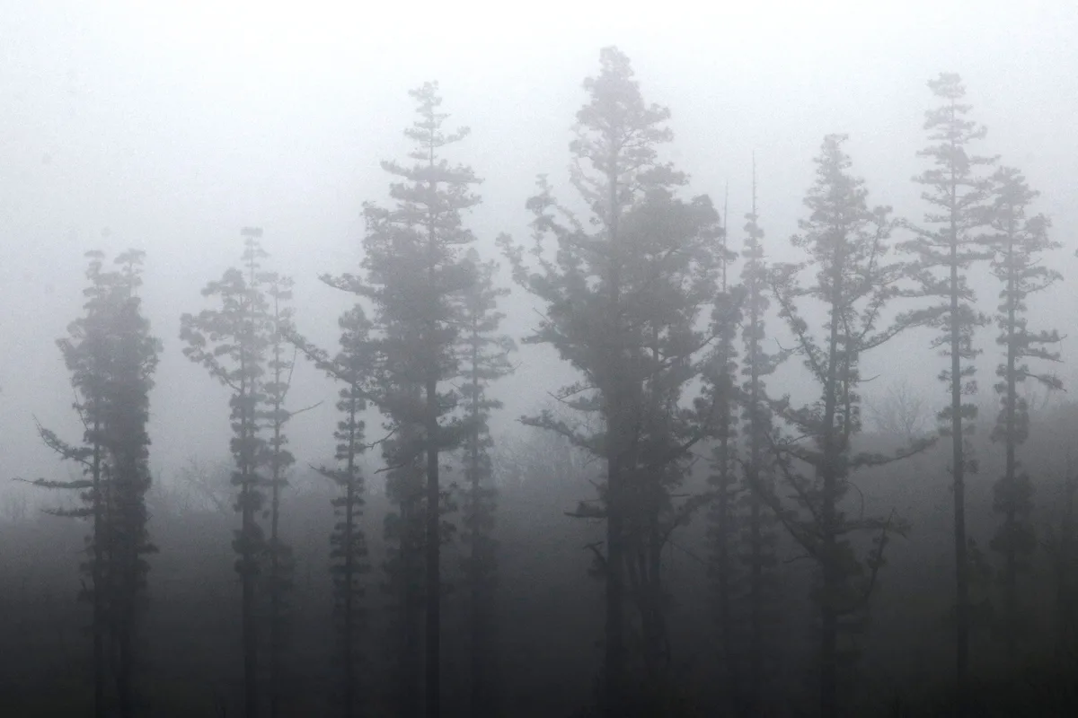
Fog rain is the engine of the forest. Trade winds push moisture onto the crest, and the trees and mosses capture it. A misty day shows the park at its most characteristic, with dripping branches and soft visibility. A clear day gives better views but a drier-looking forest. Plan for both, and carry a rain layer and grippy shoes. Low visibility makes route-finding harder, so stay on marked paths. Check the Spanish weather agency AEMET for forecasts and fire warnings in summer.
Spreading walks across 2–3 days gives you spare weather windows, since cloud can hide the crest on any single day.
Costs, tickets and opening hours
Admission, visitor-centre hours and trail closures are set by the park authority and change over time. Read the current details on the official park information before you travel.
- Ferry fares and timetables: set by the operators
- Rental car: usually the biggest flexible cost
- Guided walk or tour: optional
- Lodging: compare base villages by season
- Food and supplies: buy before you head into the highlands
Where to stay and how to get around
Villages such as Vallehermoso, Valle Gran Rey, Agulo and Hermigua are common bases. Choose by how far you want to drive each morning, and check bus links before you book. Rural lodgings close to Las Bolas suit sunrise walkers. Fuel up and carry cash before leaving San Sebastián, because services thin out in the highlands.
| Option | Flexibility | Cost level | Drawback |
|---|---|---|---|
| Car | High | Higher, plus ferry transport if you bring one | Winding mountain roads, parking at trailheads |
| Bus | Low | Lower | Limited timetable, fewer trailhead options |
| Guided tour | Medium | Higher per person | Fixed route and time |
| Taxi | Medium | Higher for long hops | Booking ahead needed for remote pickups |
Why the forest looks like this: history and conservation
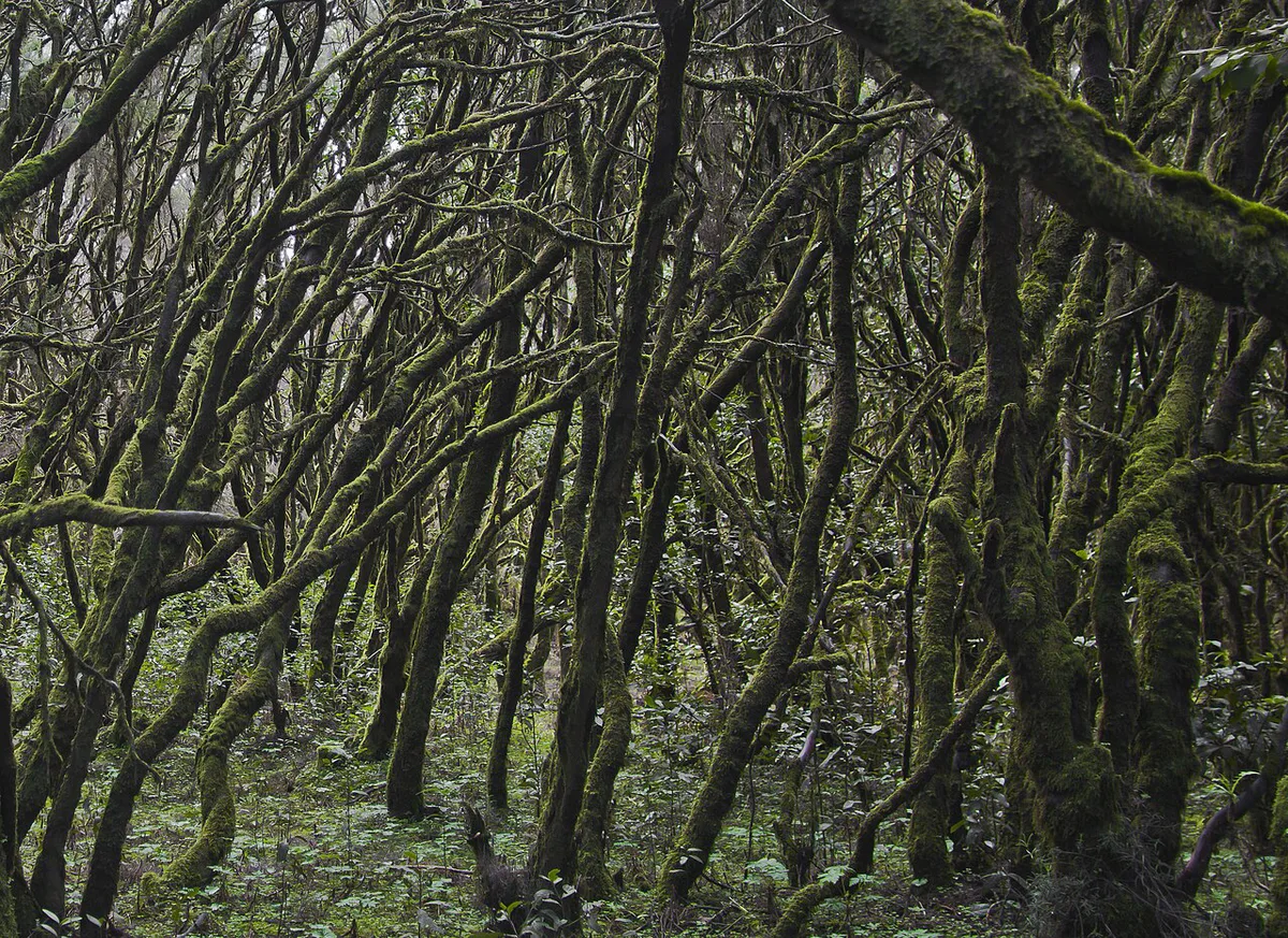
Before the 15th century, people with Berber-related culture lived on the island. Alto de Garajonay held rituals tied to mountain worship. In August 1492, Columbus's ships put in at La Gomera, and in 1493 he returned with seventeen ships. Under the Counts of La Gomera, woodlands were managed with strict use rules. Livestock were removed from the woods in the 1940s, and the park followed in 1981. According to MITECO's park history, those centuries left mature trees and a forest close to its natural state. On the trail, that means thick moss, fallen logs and tall trunks, not a tidy plantation.
Rules, safety and mistakes to avoid
Stay on marked paths, follow current park rules on fires and camping, and treat wet ground with care. Fog cuts visibility fast, and fire risk matters in dry spells. Avoid these common errors.
- Relying on a clear forecast for the summit
- Booking a tight ferry connection on a day trip
- Arriving in villages without cash or supplies
- Underestimating the winding mountain roads
- Wearing smooth-soled shoes on wet trails
Combine with other Canary laurel forests and Spain parks
La Palma offers the closest national-park comparison, and our guide to Caldera de Taburiente National Park: How to Visit covers it. For laurel-forest context on that island, see Visit La Palma. Anaga on Tenerife is another laurel forest you can reach from your ferry port. For a very different Spanish landscape, try Sierra Nevada or Ordesa. Our ranking of the 8 Best National Parks in Spain by Trip Type helps you compare them.
Frequently Asked Questions
What is La Gomera like for a holiday?
La Gomera is a quiet, mountainous island reached by ferry from Tenerife or by air. Garajonay's laurel forest fills the highlands, and villages such as Agulo and Hermigua suit slow trips. Expect winding roads and plan transport ahead.
Notes for your next park visit
Optional updates to our national park guides.
Read next

Keep planning
Picked from the same area