
Caldera de Taburiente National Park: How to Visit
Plan a visit to Caldera de Taburiente on La Palma: how to get in, the best viewpoints and hikes, permits to check, and who should skip the crater floor.
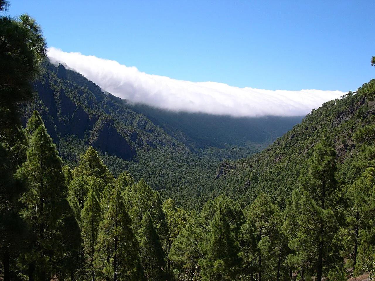
Last updated November 2026. Caldera de Taburiente is a national park on La Palma in the Canary Islands, and it is one of the parks in our guide to Spain's national parks. It is a huge erosion crater, so pick viewpoints for a short visit or a hike for a full day.
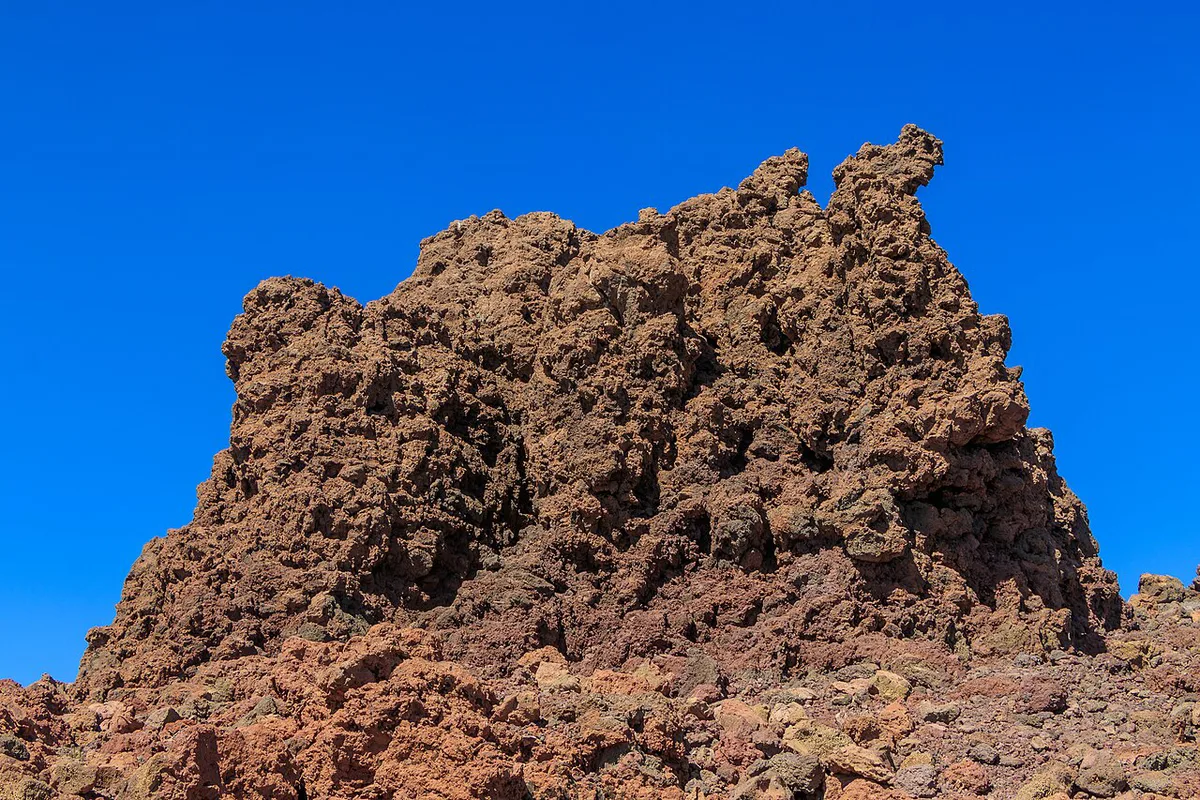
Featured image: Luc Viatour, CC BY-SA 3.0, via Wikimedia Commons.
Caldera de Taburiente at a glance
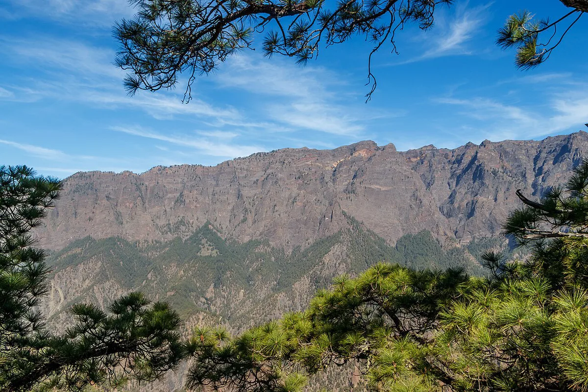
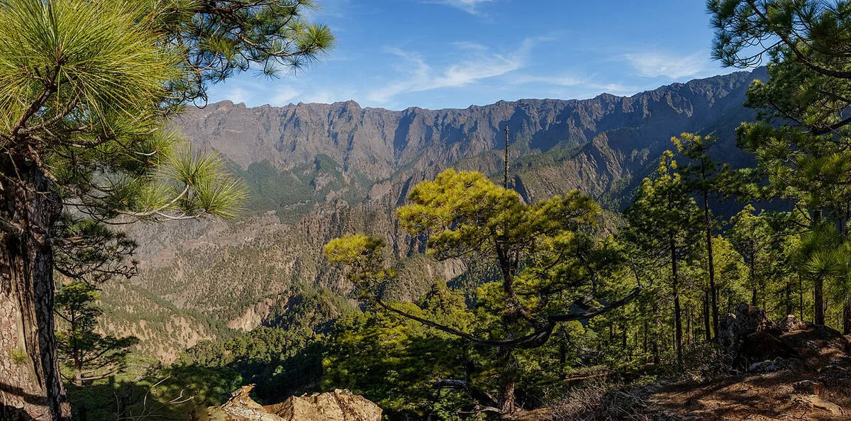
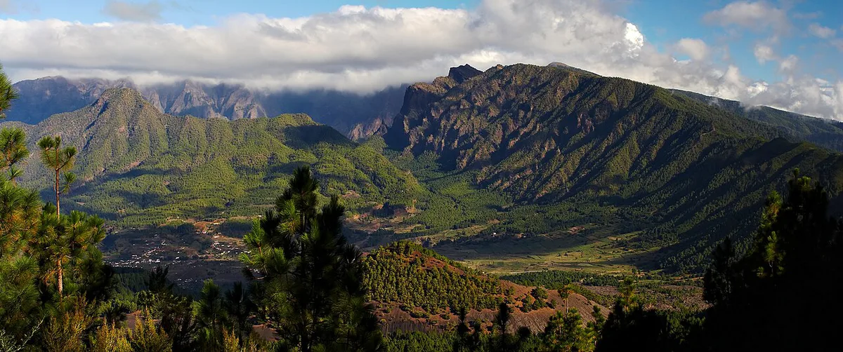
Despite the name, this is not a classic volcanic caldera. It is a crater about 8 km (5 miles) wide and roughly 1,500 m (4,900 ft) deep, shaped by a giant landslide and then by erosion. Pine forest and high-mountain vegetation cover the slopes, with many plant and animal species found nowhere else. The park has its own network of about 70 km (43 miles) of hiking paths. Spain's environment ministry lists status and visitor information on its national parks page for Caldera de Taburiente.
- Location: La Palma, Canary Islands
- Status: national park
- Size: about 8 km wide, about 1,500 m deep
- Main access points: La Cumbrecita, Los Brecitos, Barranco de las Angustias, Roque de los Muchachos
- Visitor centre: El Paso, next to the Cumbrecita turn-off, open daily 9:00 to 18:30
How to choose your visit
Match the option to your time. With 2 hours, drive to a viewpoint. With half a day, add a short walk. With a full day, commit to a crater hike. Times below are planning estimates, so check trail details at the visitor centre in El Paso.
| Option | Time needed | Effort | Best for | Skip if |
|---|---|---|---|---|
| Viewpoint only (La Cumbrecita) | About 2 hours including the drive | Low | First-time visitors with little time | You want to walk inside the crater |
| Short walk from a trailhead | Half a day | Moderate | Visitors who want forest and ravine scenery | You dislike winding roads |
| Full crater hike from Los Brecitos | Full day | High | Experienced hikers with a map | You have no hiking experience or are short of daylight |
| Drive to Roque de los Muchachos | Half a day | Low | High-altitude views over the rim | Cloud or wind is forecast |
Best viewpoints and hikes
Four places anchor most visits. Hiking maps are sold or handed out at the El Paso visitor centre. You can also get them at information huts at Roque de los Muchachos, La Cumbrecita and Lomo de los Caballos, and at the campsite office inside the crater.
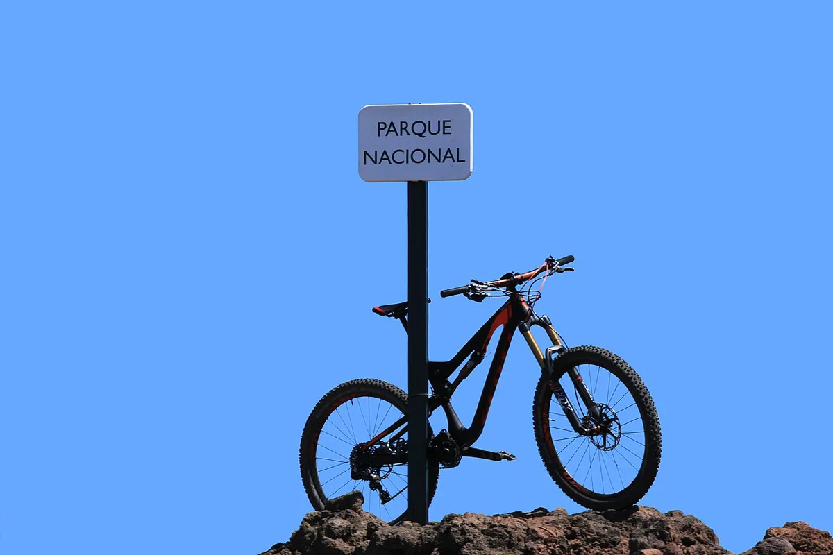
- La Cumbrecita: an impressive view into the crater. It is the easiest first stop, signposted from the turn-off beside the El Paso visitor centre.
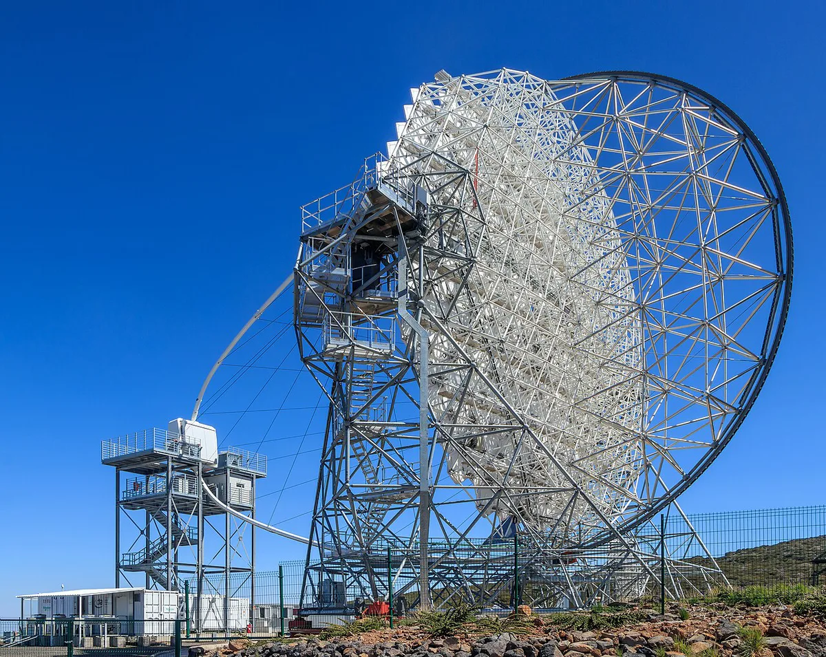
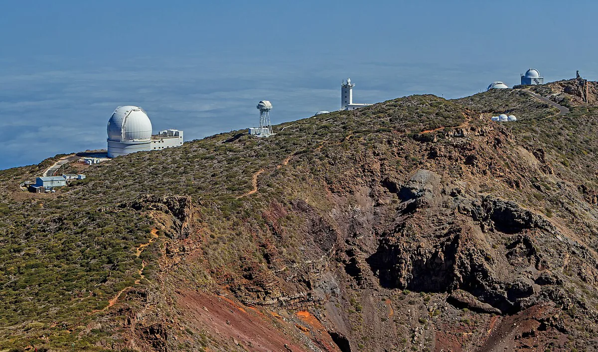
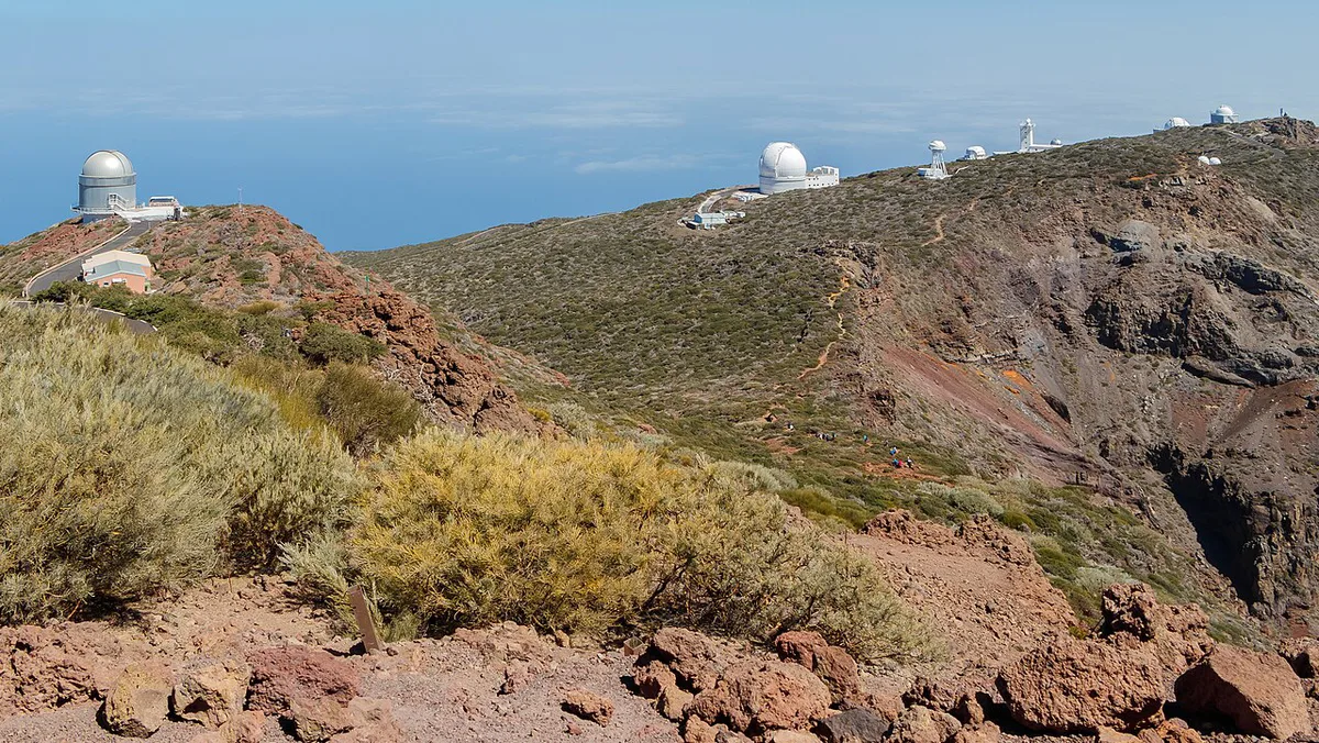
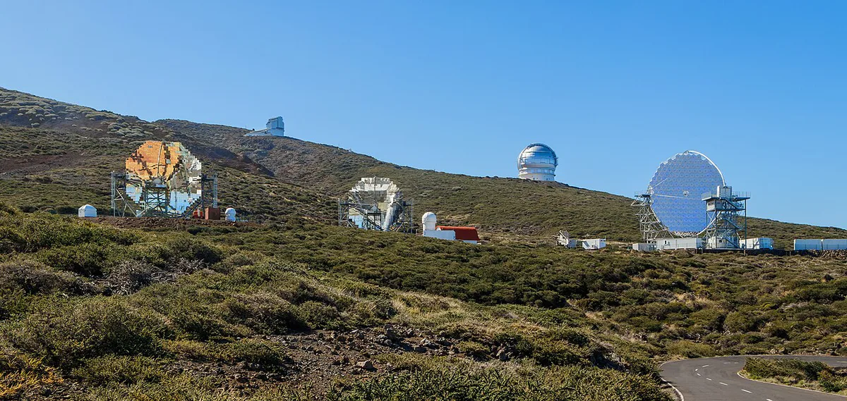
- Roque de los Muchachos: a second viewpoint over the crater from the rim. Allow extra driving time and check the weather first.
- Los Brecitos: the start of the hike into the crater. Ask the visitor centre about the road and trail conditions before you set off.
- Barranco de las Angustias: the ravine entrance, with a parking area just after the Lomo de los Caballos hut. Marcos y Cordero is a further route, reached from Casa del Monte.
Permits, costs and opening hours
The El Paso visitor centre is open daily from 9:00 to 18:30. Entry rules, any visitor limits and permits for the crater trails or the campsite can change. Read the park authority's page before you book transport or a tour. If you plan to camp, ask the park office about the booking process, fire rules and water. The park's visitor page is linked from Visit La Palma. Your real costs are a hire car, parking, a taxi to a trailhead or a guided tour, and no published prices were available at the time of writing.
Getting there and getting around
Fly into La Palma airport, then drive to El Paso. A hire car gives the most flexibility. Taxis can run to trailheads from Santa Cruz de La Palma, Los Llanos de Aridane and El Paso. Guided tours are another option if you do not drive. Bus timetables change, so ask the tourist office rather than relying on a printed schedule. Some older guides say the Los Brecitos hike and the Marcos y Cordero route need a jeep. Ask at the visitor centre which vehicles can use each road today.
Where to stay
El Paso is the closest base to the visitor centre and the La Cumbrecita turn-off. Los Llanos de Aridane has more shops, restaurants and services. Tazacorte suits travellers who want a coastal base and are happy to drive inland. Santa Cruz de La Palma is the island's capital, with the most urban feel but the longest drive to the trailheads. Test the drive on a map before you book, because mountain roads are slow.
When to go and what to bring
Temperatures drop with altitude, so pack layers even if the coast is warm. Clouds can fill the crater and hide the view, while clear mornings give the best light. Winter weather and heavy rain can close trails, and fire risk can too. Take water, food, a paper map and a charged phone. Signal can drop inside the crater.
Ask staff at El Paso before you set off, because the visitor centre runs 9:00 to 18:30 and late starts leave little daylight.
- Underestimating trail length and climbs, especially on the way back out
- Starting a long hike late in the day
- Relying on phone signal for navigation
- Skipping the visitor centre, where staff know current trail conditions
- Assuming the road to a trailhead is quick or easy to drive
Pairing the park with other Spanish trips
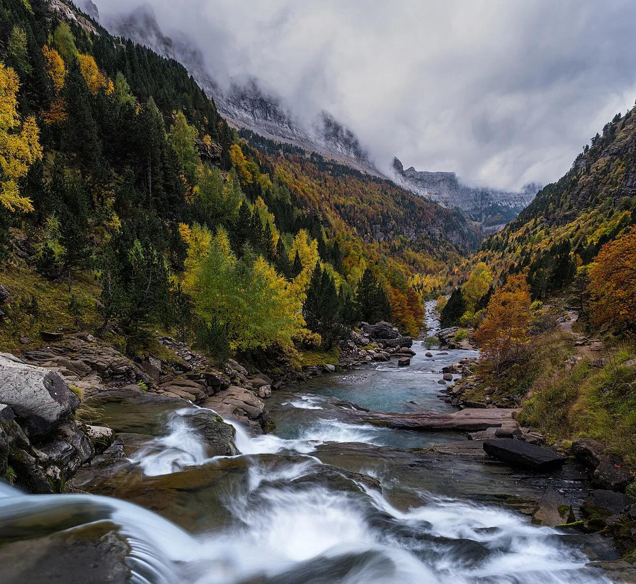
The natural pairing is Garajonay National Park Guide: La Gomera Laurel Forest, another Canary Islands park. For high-mountain hiking on the mainland, try Ordesa and its canyons. For wetlands, see Doñana's marshes. Our ranking of the best Spanish parks helps you compare them.
Frequently Asked Questions
Is there a caldera in Spain?
Yes, Caldera de Taburiente on La Palma. It is technically an erosion crater, shaped by a giant landslide and later erosion, rather than a collapsed volcano.
Is the volcano on La Palma still erupting?
The 2021 eruption on La Palma ended in December 2021. Caldera de Taburiente is a separate feature, formed by erosion. Check the Cabildo de La Palma for current volcanic status.
Notes for your next park visit
Optional updates to our national park guides.
Read next

Keep planning
Picked from the same area