
Vallée des Merveilles Guide: Rock Art Hikes and Access
Plan a visit to the Vallée des Merveilles near Tende: when to go, how to reach the engravings, guided versus self-guided options, and which hike fits you.
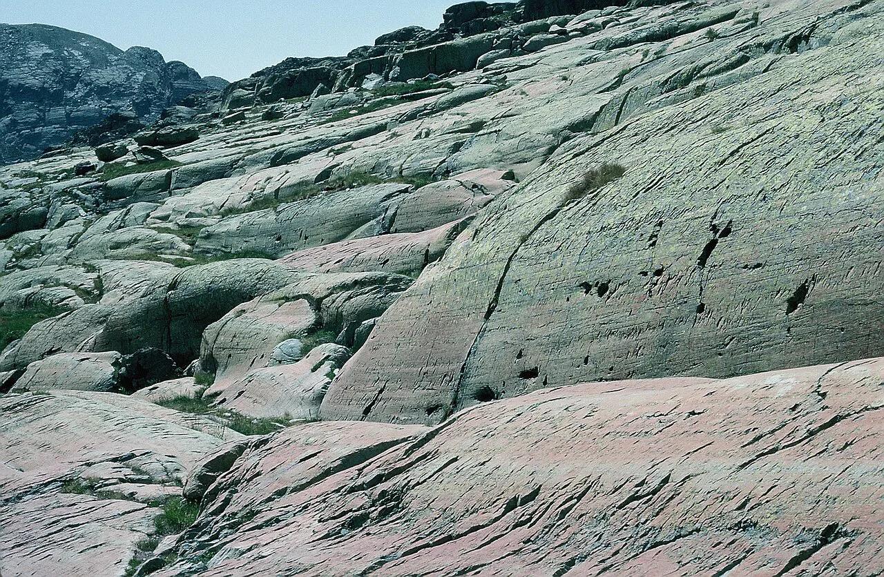
Last updated November 2026: the Vallée des Merveilles (Valley of Wonders) is a high-altitude valley in Mercantour National Park, near Tende, with tens of thousands of Bronze Age rock engravings. You reach it on foot in summer, usually from Casterino and Lac des Mesches. This guide covers season, route choice, rules, guides and overnight bases.
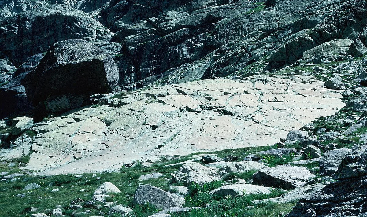
Featured image: Philippe Kurlapski, CC BY 2.5, via Wikimedia Commons.
What the Vallée des Merveilles Is
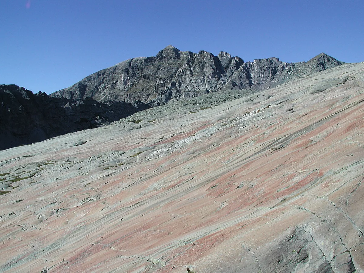
Vallée des Merveilles lies inside Mercantour National Park Guide: Valleys, Hikes & Access, below Mont Bégo (2,872 m, about 9,420 ft). The valley sits at roughly 2,000 to 2,500 m (6,560 to 8,200 ft) in the commune of Tende. Its rock art dates to the Copper and Bronze Age. Published engraving counts conflict, from about 30,000 recorded to nearly 40,000, so "tens of thousands" is the safest description. For context before or after a hike, the Musée des Merveilles in Tende is the local place to start. Expect a real mountain day, not a roadside viewpoint.
When to Visit the Vallée des Merveilles
June to October is the practical window. Snow buries the engravings for much of the rest of the year, and that cover protects them naturally between roughly October and June. Summer brings the best weather and visible rock, which is also why access is regulated. Check current snow and trail status with the Mercantour National Park or the Tende tourist office before you travel. Early June and late October can still hold snow patches at 2,000 m and above, so plan flexible dates.
Choose Your Route: Compare the Main Hikes
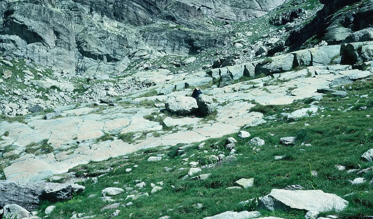
Distances and times below are approximate, user-recorded figures from Tende-area hiking routes. Cross-check them against official maps before you set out. A short loop shows less rock art than a full valley day, so match the route to your legs and daylight. For a half-day or a family outing, start with the Fontanalba loop. Strong hikers should look at Lac des Grenouilles (Croaking Frog Lake) or Lac Vert. The 27 km valley route at about 10h55 is a full-day commitment, so do not attempt it without an early start and a weather check.
| Route | Distance | Time and gain | Difficulty | Best for |
|---|---|---|---|---|
| Fontanalba Green Lake loop and Twin Lakes | 4.5 km (2.8 mi) | About 2h | Moderate | Families, half-day |
| Lake Meshes, snow and wonders | 8.8 km (5.5 mi) | About 3h45 | Moderate | Moderate fitness, lake scenery |
| Lac des Grenouilles and rock art | 10 km (6.2 mi) | About 4h10 | Hard | Strong hikers after rock art |
| Casterino to Fontanalba refuge loop | 10.1 km (6.3 mi) | About 4h25 | Hard | Fontanalba focus, one day |
| Lac Vert via Fontanalba | 13 km (8.1 mi) | About 6h15 | Hard | Long day, strong hikers |
| Mèches dam to Refuge des Merveilles | 15.6 km (9.7 mi) | About 6h50, 826 m (2,710 ft) gain | Hard | Long day or overnight |
| The Valley of Wonders | 27 km (16.8 mi) | About 10h55 | Hard | Full day, early start |
Getting There: Tende, Casterino and Lac des Mesches
Start in Tende. Continue to Saint-Dalmas-de-Tende, then take the Casterino road to Lac des Mesches. The refuge route begins at the Mèches dam on that same road, and its recorded start point is 20 Route de Castérino, Tende. From there, trail markers lead past the Gîte Neige et Merveilles toward the Refuge des Merveilles. Do not assume public transport reaches the trailhead. Check locally with the Tende tourist office for parking, taxis, shuttles and any seasonal road restrictions.
Rules, Guides and Tickets
The engravings are fragile, and access is regulated and monitored. Visitors have damaged slabs in the past, so rules are strict. Guided visits to the Vallée des Merveilles and Fontanalba sites are reported to last 2.5 to 3 hours, with tours offered in English, Italian, German and Spanish. Current tariffs are set by the park and the Tende tourist office, so check those sources for this season's prices. A guide costs more than walking alone, but you get interpretation and legal access beyond marked paths. The park's own pages list conditions and regulated zones.
- Do not walk on the engravings or touch them in any way.
- Do not use iron-tipped poles or walking sticks.
- Do not leave marked paths without an accredited guide.
- Do not add graffiti or take fragments of rock.
- Guided: higher cost, expert interpretation, fixed schedule, access beyond marked paths.
- Self-guided: lower cost, flexible pace, marked paths only, no explanation of what you see.
Overnight Options: Refuges and Bases
Two refuges appear on the main routes: the Refuge des Merveilles and the refuge at Fontanalba. An overnight stay turns the 15.6 km Mèches dam route into two shorter days. Booking windows, prices and meal arrangements change, so contact the refuge or the park directly. For a lower-effort base, Tende is the nearest town on the approach. Check availability there if you only plan a single day hike.
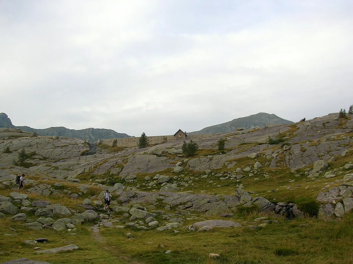
Mèches dam route gains 826 m over 15.6 km, so a 6h50 day is long enough to weigh a refuge night.
What to Pack and Safety at 2,000–2,500 m
Weather at this altitude changes fast, and sun exposure is strong above the tree line. Wear sturdy hiking boots rather than trail shoes. Carry more water than you expect, since the long routes run 4 to 11 hours. Bring a navigation backup, such as a paper map or offline GPS, because phone signal cannot be assumed. Leave iron-tipped poles at home, as they are banned in the valley. Start early so you can turn back if clouds build.
Common Mistakes to Avoid
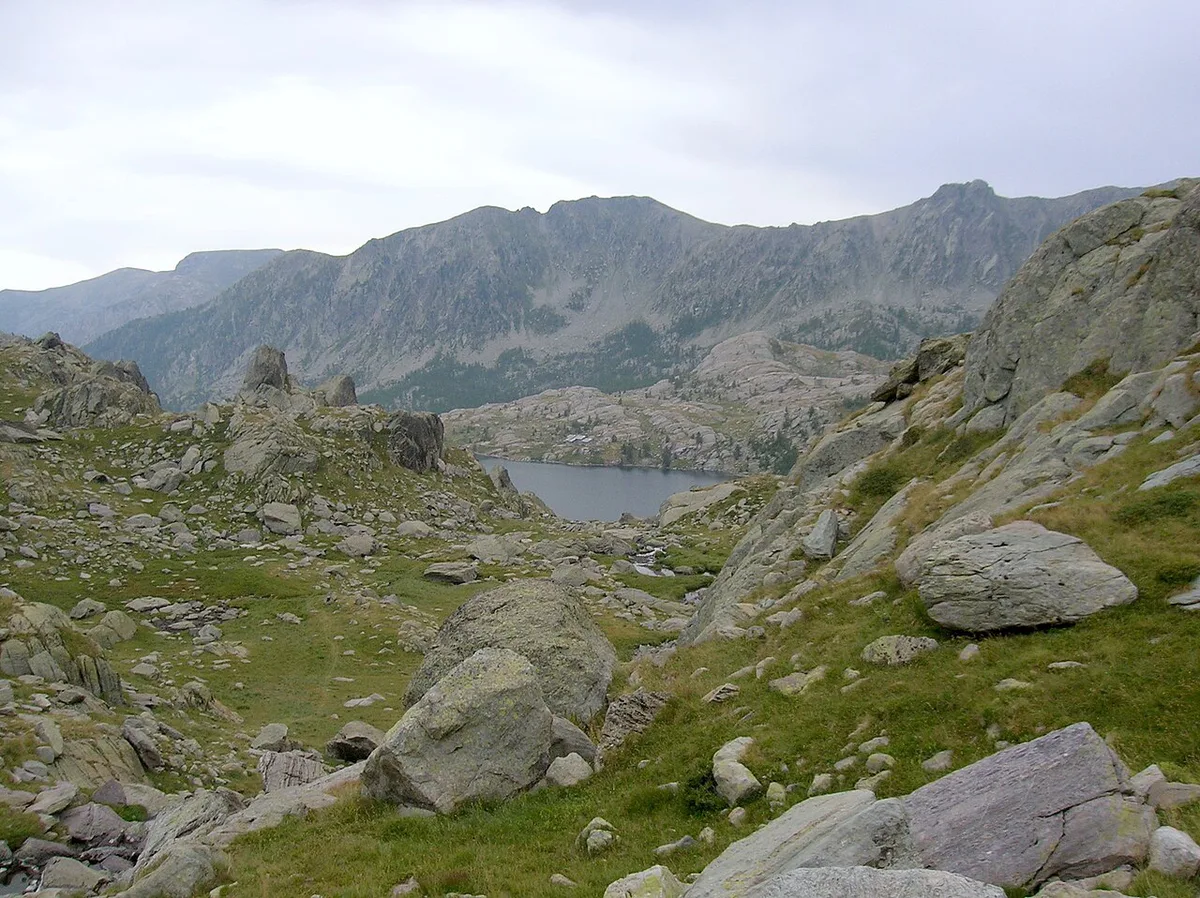
Most problems come from underestimating the terrain or ignoring the rules.
- Going outside the June to October window and finding snow on the rock.
- Treating the valley as a short stroll when routes run from 4.5 km to 27 km.
- Leaving marked paths without an accredited guide.
- Touching or stepping on engravings.
- Skipping a guide when you want to understand what the engravings depict.
Other Mercantour Hikes Nearby
If the valley feels too big for your schedule, try the Lac des Mesches to Cime de la Nauque hike (12.1 km, about 6h20, rated Hard). The Lac Vert route via Fontanalba is another option. Our Mercantour hiking guide covers more trails. For other high-mountain scenery, see Vanoise National Park: Planning Guide, Best Season and Bases. Écrins National Park is another alpine choice. Planning a wider trip? Start with our overview of France's national parks. You can also compare options in our ranking of the best parks.
Notes for your next park visit
Optional updates to our national park guides.
Read next

Keep planning
Picked from the same area