Yorkshire Dales Map: Towns, Dales and Where to Base
Use a Yorkshire Dales map to find the main dales, villages and sights, and pick the best base for walks, waterfalls and car-free trips.
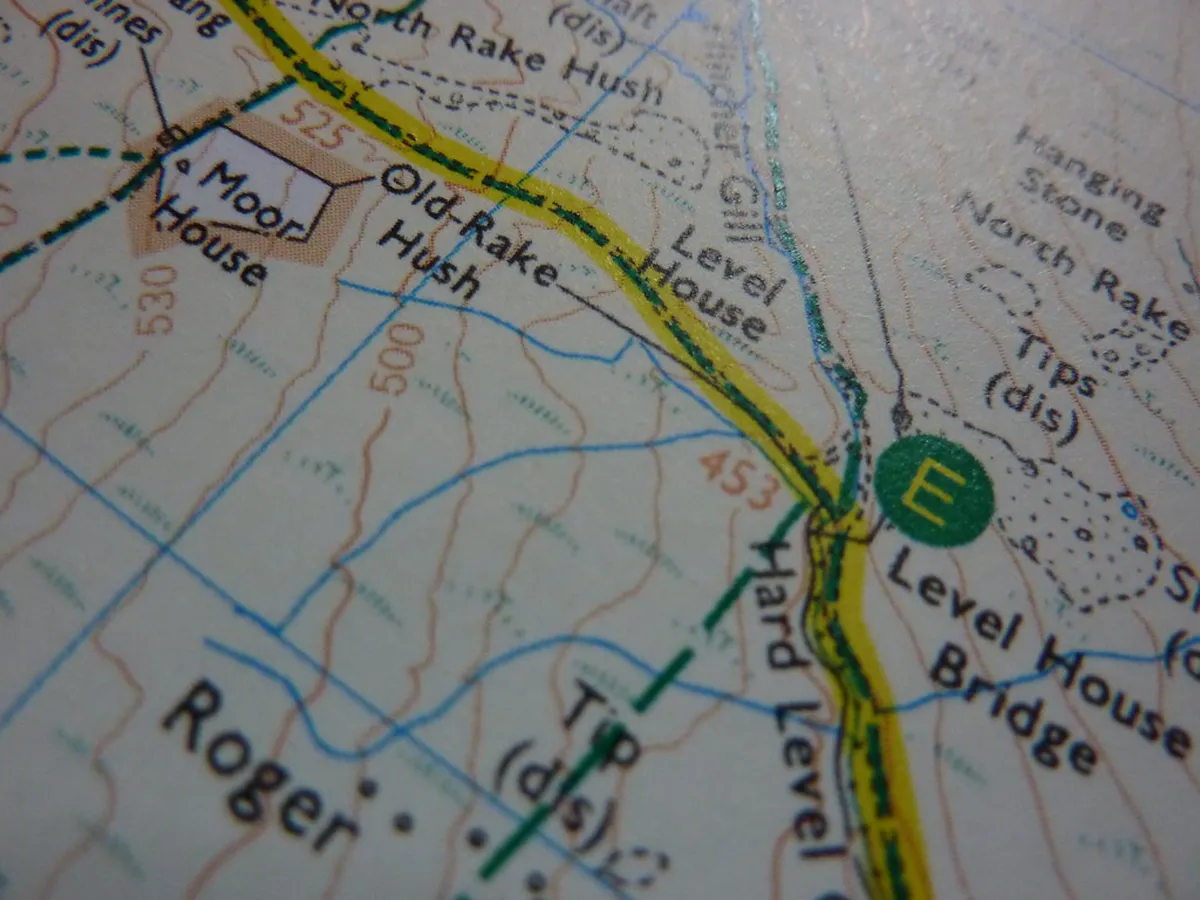
Last updated November 2026. A Yorkshire Dales map makes most sense as five zones: Malham and Craven in the south, Ingleton in the west, Wensleydale in the centre, Swaledale in the north and Nidderdale to the east. This guide shows where each zone sits, which towns act as gateways and which base suits which kind of trip. For the wider overview, start with our Yorkshire Dales National Park guide.
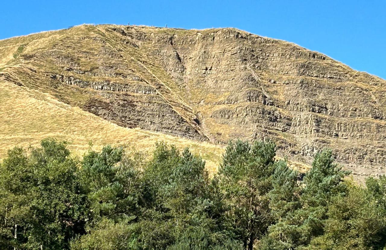
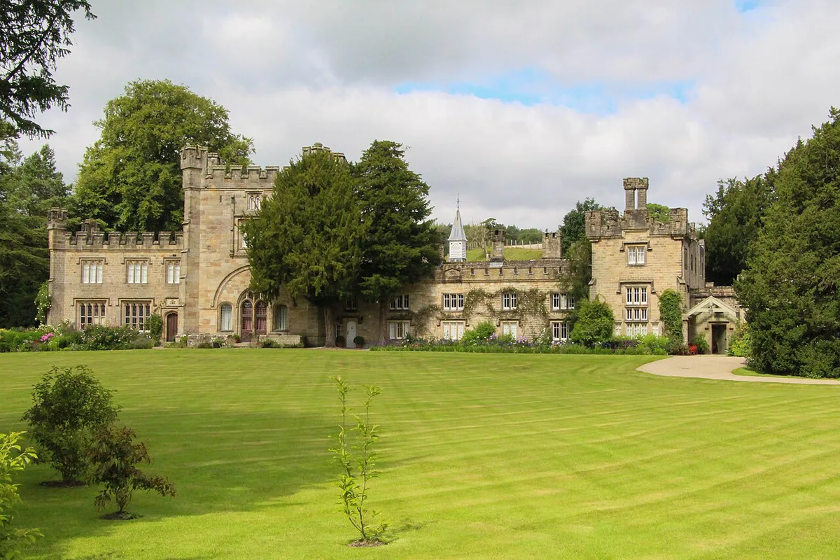
Featured image: Bods, CC BY-SA 2.0, via Flickr.
The Yorkshire Dales Map at a Glance
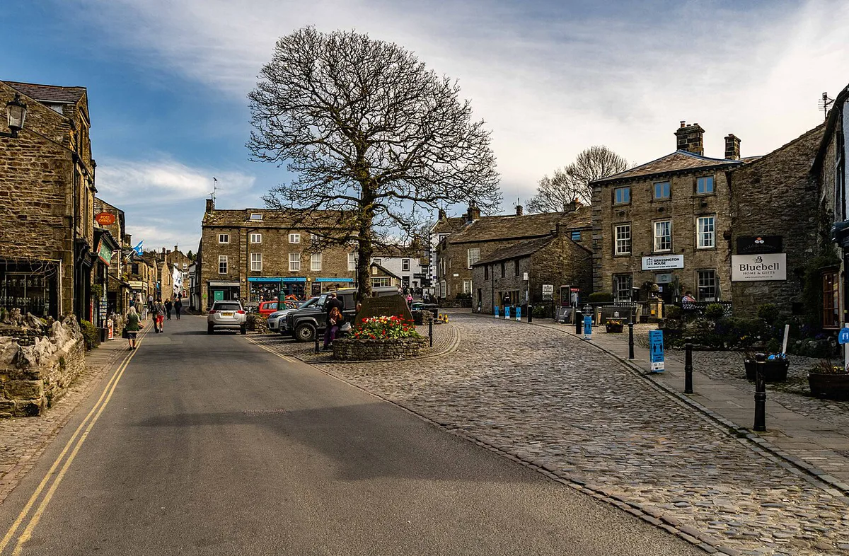
The Yorkshire Dales National Park straddles North Yorkshire and Cumbria. Its gateway towns are Skipton, Settle, Grassington, Leyburn and Hawes. Skipton and Settle open the southern side, Grassington serves Wharfedale, and Leyburn and Hawes lead into Wensleydale and the north. The park authority's visitor pages carry the official boundary. Check it before assuming a named sight is inside the park. Bolton Abbey, Fountains Abbey and Pateley Bridge are the usual doubtful cases. Pateley Bridge and Nidderdale in particular may sit outside the national park boundary. Use your map legend as a simple code. Mark gateways as one colour, walking hubs as another, and caves or waterfalls as a third. Five colours is plenty, and one per zone works well.
How the Dales Are Laid Out: Zones and Anchor Villages
Each zone below has its own anchor village and its own character. Our village-by-village guide goes deeper on individual stops. Treat the table as a planning shortcut rather than an official boundary map.
| Zone | Anchor village or town | Headline sights | Best for | Without a car |
|---|---|---|---|---|
| South (Craven, Airedale) | Malham, Skipton | Malham Cove, Janet's Foss, Gordale Scar | Compact walking days | Limited; check bus links |
| West (Three Peaks) | Ingleton, Settle | Ingleton Waterfalls Trail, White Scar Cave, Ingleborough Cave | Waterfalls and caves | Settle has a rail link |
| Centre (Wensleydale) | Hawes, Leyburn | Aysgarth Falls, Hawes, The Forbidden Corner at Middleham | Villages, falls, family stops | Limited; a car helps |
| North (Swaledale) | Reeth area, Tan Hill | Tan Hill Inn | Remote moorland driving | Hard without a car |
| East (Nidderdale) | Pateley Bridge | Fountains Abbey nearby | Quieter walking | Check boundary and buses |
Key Places to Pin on Your Map
Pin these first, then add your accommodation. Each line shows the zone and what pairs naturally with it. Read our full list of things to do for the long version.
- Malham Cove, Janet's Foss and Gordale Scar: all in the southern zone, linked by walking paths from Malham village.
- Aysgarth Falls: three viewing points, Upper, Middle and Lower, on the River Ure in Wensleydale. The visitor centre has a café.
- Hawes: the central dales hub, close to the Wensleydale Creamery.
- Ingleton Waterfalls Trail, White Scar Cave and Ingleborough Cave: the western cluster under Ingleborough.
- Tan Hill Inn: a lone stop on the northern moors, reached by road.
- The Forbidden Corner: a four-acre garden of follies at Middleham, near Leyburn.
- Bolton Abbey Visitor Guide: Car Parks, Walks & Tips: managed by the Bolton Abbey Estate. Check the park boundary before treating it as inside the Dales.
Getting Around: Roads, Rail and Airports
Leeds Bradford and Manchester are the nearest airports for the southern and western dales. Newcastle is a more distant option for the north. Dales roads are often single-track and narrow, so allow extra time and use passing places. A sat nav can misjudge the twisting lanes, especially around Middleham. Phone signal can drop in remote valleys, so download offline maps first. Rail helps in the west. The Settle–Carlisle railway serves Settle, and the Friends of the Settle-Carlisle Line publish route information. For a car-free day, consider guided Dales tours. Swaledale and Tan Hill are hard without a car.
Parking, Walking Times and Access on the Map
Malham's village car park cost £8 for the day, according to a 2026 visitor report, with cash or tap card accepted. The walk to the start of the Cove path took about 7 minutes. A National Trust car park nearby was reported at £3.80 for 2 hours or £6 all day in June 2026. It was full by about 1.30pm on a Monday. Arrive early. Janet's Foss alone took one walker around 50 minutes. A fuller Cove and Janet's Foss loop took about 2.5 hours. Reports put the climb to the top of the Cove at around 400 steps. Paths on the far side include steep stone steps without handrails. Aysgarth Falls parking was reported at £3.80 for 2 hours in June 2026. The walk to all three falls is roughly 1,200 metres, with up to 30 steps on the return from the lower falls. Prices checked November 2026; operators change tariffs, so read the machine before paying. Ingleborough Cave needs 40–50 minutes on foot from the ticket office. Allow about 45 minutes inside. Avoid these common mistakes:
- Assuming every attraction is walkable from its village.
- Arriving after midday at popular car parks.
- Packing several zones into one day.
- Trusting phone signal for navigation.
- Confusing the national park boundary with the wider Yorkshire Dales area.
Sample Routes by Base
Keep each day inside one zone. These outlines are starting points, not full itineraries.
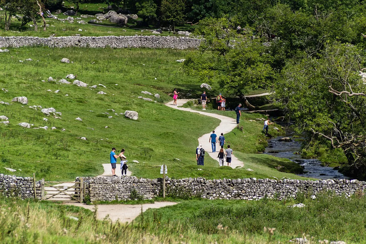
- Malham and Gordale day: Malham village, Janet's Foss, Gordale Scar, then the Cove. Allow up to 2.5 hours for the fuller loop.
- Wensleydale day: Aysgarth Falls in the morning, then Hawes for the creamery and lunch.
- Ingleton day: the waterfalls trail, then Ingleborough Cave or White Scar Cave.
- Northern day: Tan Hill Inn by car, with a moorland drive either side.
When to Go and Weather
Summer fills car parks early, particularly at Malham. Winter can bring ice on steps and flooded paths. Aysgarth Falls look best after rain, and one 2026 visitor found them reduced to a dribble in a dry summer. Check the Met Office forecast before setting out. Our Yorkshire Dales weather guide covers the seasons.
Malham's National Trust car park was full by about 1.30pm on a Monday, so summer days need an early start.
Where to Stay by Zone
Malham suits walkers who want sights from the door. Hawes gives the best access to Wensleydale and Aysgarth. Ingleton is the base for waterfalls and caves. Settle is the rail-connected gateway. Each base trades convenience for distance from the other zones. Browse hotels in the Yorkshire Dales once you have picked your zone.
Where to Get an Official or Printed Map
The park authority publishes visitor materials, and Ordnance Survey sells Explorer and Outdoor Leisure sheets for walkers. The OS site lists the sheet numbers for each zone, so look yours up before buying. Carry a paper map as a backup to any offline app.
Frequently Asked Questions
Where is the Yorkshire Dales?
The Yorkshire Dales National Park covers upland valleys across North Yorkshire and Cumbria in northern England. Gateway towns include Skipton, Settle, Grassington, Leyburn and Hawes.
Where is the Forbidden Corner in the Yorkshire Dales?
The Forbidden Corner is a four-acre garden of follies at Middleham, in Wensleydale near Leyburn. Roads there are twisty, so allow extra time for the drive.
Notes for your next park visit
Optional updates to our national park guides.
Read next
Keep planning
Picked from the same area