
Val Grande National Park: Hiking, Access & Planning Guide
A plain-spoken guide to Val Grande National Park in Piedmont: how to reach the trailheads, which walks suit your level, and when to hire a guide.
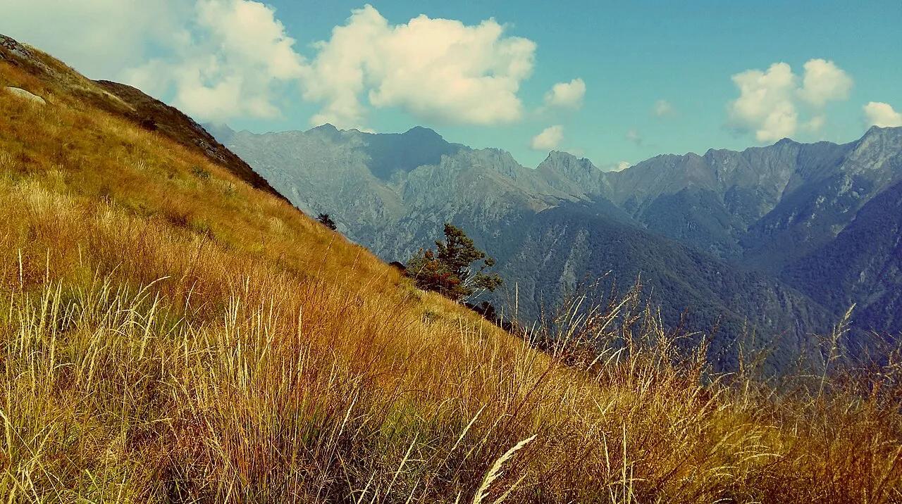
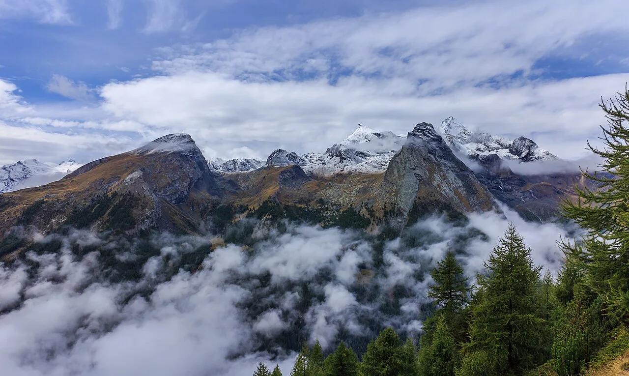
Last updated November 2026: Val Grande National Park is a wilderness in Piedmont, in the province of Verbano-Cusio-Ossola, and no carriage roads cross it. Every part of it is reached on foot along trails. That suits experienced hikers, guided groups and anyone happy with a short easy walk, but not drive-up sightseers.
Featured image: Justraveling.com, CC BY-SA 4.0, via Wikimedia Commons.
What Val Grande Is (and Isn't)
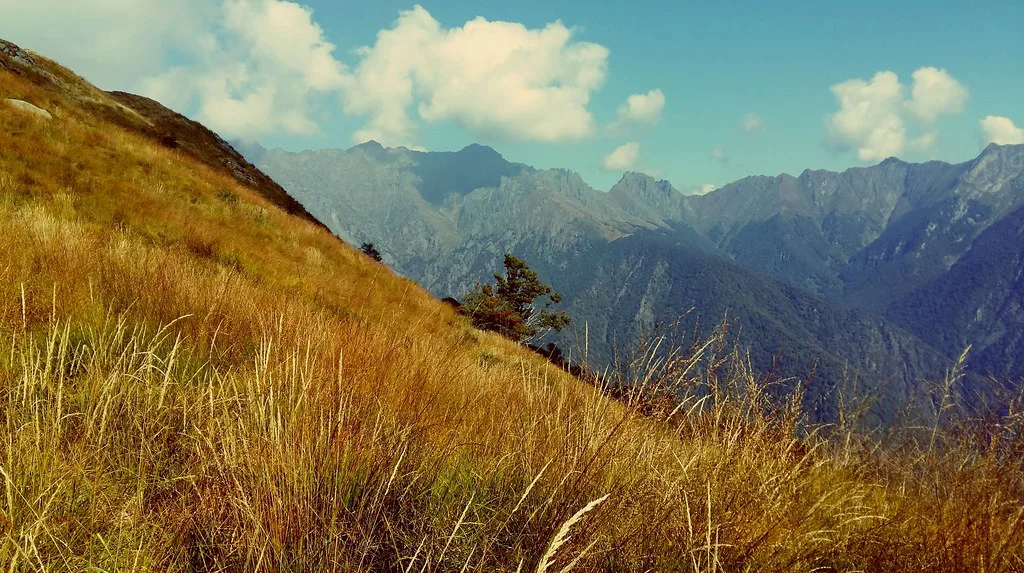
Val Grande sits between the plains of Lake Maggiore and the upper Val d'Ossola and Val Vigezzo. A ministerial decree of 2 March 1992 created the park, and it was extended in 1998 and 2023. Forest has retaken fields and pastures that shepherds and woodcutters once worked, which is why it feels so untouched. Expect no visitor centre at a trailhead, no viewpoint car parks and no shops inside the boundary. Cicogna is the only permanent village, with only a few year-round residents. The park authority publishes its own information on the official Val Grande site.
| Quick fact | Detail |
|---|---|
| Area | 17,021 ha (170.21 km²) over sixteen municipalities |
| Lowest point | About 400 m (1,312 ft) |
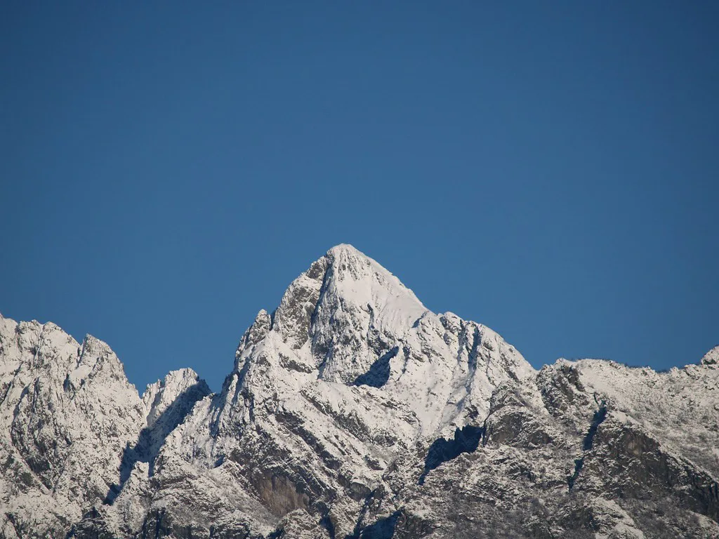
| Highest point | Monte Togano, 2,310 m (7,579 ft) |
| Other main peaks | Cima della Laurasca 2,195 m, Monte Zeda 2,157 m, Cima Pedum 2,111 m |
| Designation | National park since 1992; UNESCO MAB Biosphere Reserve since 2018 |
| Park authority | Piazza Pretorio 6, Villa Biraghi, Vogogna |
Is Val Grande National Park Right for You?
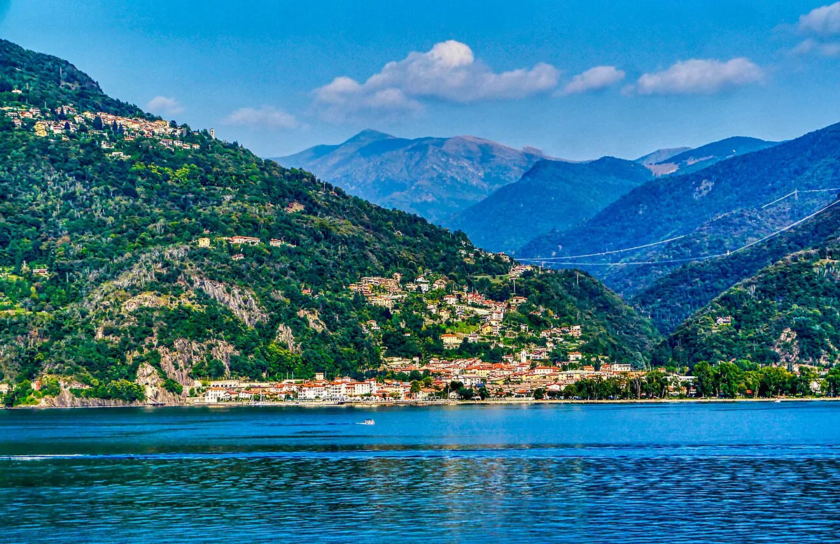
Match the park to your fitness and your plans before you book anything. Val Grande is the wildest option in our guide to Italy's national parks. If you want a ranked comparison, see the 10 Best National Parks in Italy by Trip Type. Readers who want big Alpine scenery with more infrastructure can look at Stelvio National Park Guide: Which Side to Visit and When. For gentler walking without Alpine exposure, Sibillini National Park Guide: Hikes, Villages & Tips is a better fit.
| You are... | Best plan |
|---|---|
| Casual walker | Pick a short signed walk of about 1 to 2 hours, or skip the park and visit Vogogna |
| Fit day hiker | Choose a loop from a main entry village and carry an offline map |
| Multi-day trekker | Plan the Premosello Chiovenda to Malesco or Colloro traverse, ideally with a guide |
| No hiking plans | Spend a half day in Vogogna and the lakeside towns instead |
How To Get There
You cannot drive into the park, but you can drive to its edges. The main walking entry points are Cicogna, Premosello Chiovenda, Colloro, Malesco, Santa Maria Maggiore, Intragna and Caprezzo. By car, take the Genova-Gravellona Toce motorway and exit at Verbania or Gravellona Toce. From Milan, the Simplon road also leads to Verbania. Milan Malpensa is the reference airport. On the north side, the Vigezzina-Centovalli railway between Domodossola and Locarno stops at Malesco and Santa Maria Maggiore. For the east and south, the Novara-Domodossola line stops at Verbania and Ornavasso. Several trailheads sit well beyond those stations, so budget for a taxi or a car and check timetables with the operators.
| Starting point | Entry villages to consider |
|---|---|
| Verbania or Lake Maggiore | Cicogna, Intragna, Caprezzo |
| Val Vigezzo rail line | Malesco, Santa Maria Maggiore |
| South, via Ornavasso or the Novara line | Premosello Chiovenda, Colloro |
| Milan or Malpensa | Drive to Verbania, then continue to your chosen village |
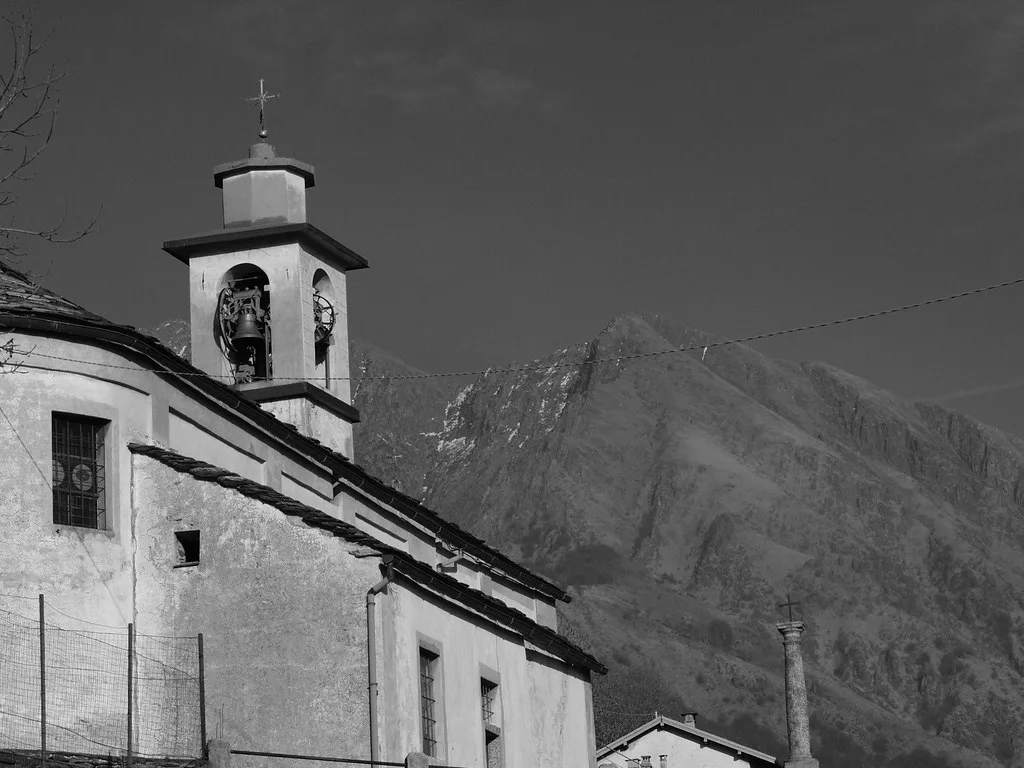
Best Hikes and Walks by Level
Short does not mean easy here. Storie di Pietra runs from Beura to Bisoggio in about 1 hour on a signed mule track, although parts are steep. All'Ombra degli Abeti links Cappella Porta and Pian Cavallone in about 2 hours and is described as safe and easy. Gaia GPS lists the Per Monte Spalavera Loop as easy at 2.5 miles, while the Casa dell'Alpino Loop is rated difficult at 5.9 miles. Those route details come from older and user-driven listings, so ask the park authority which paths are open before you set out.
| Route | Start | Indicative size | Level |
|---|---|---|---|
| Storie di Pietra | Beura to Bisoggio | About 1 hour | Easy, some steep sections |
| All'Ombra degli Abeti | Cappella Porta to Pian Cavallone | About 2 hours | Easy |
| Per Monte Spalavera Loop | Listed on Gaia GPS | 2.5 mi | Easy |
| Casa dell'Alpino Loop | Via Don Savino Lilla | 5.9 mi | Difficult |
| Premosello Chiovenda to Malesco or Colloro | Premosello Chiovenda | Multi-day | Expert, or with a guide |
- Do not treat it like a drive-up park.
- Do not rely on a phone map with no offline route.
- Do not start a long route without a guide or a daylight plan.
Overnight Stays, Huts and Where To Base Yourself
The multi-day traverse usually means a night in a mountain hut at Scaredi, Val Gabbio, La Piana or Colma di Premosello. Historic huts also stand at Pian Cavallone, Bocchetta di Campo and Pian Vadà, and some were badly damaged in the Second World War. Ask the park authority about opening dates, booking rules, food and water, and any rules on bivouacking. For a simple base, Verbania suits rail travellers on the Novara line. Malesco and Santa Maria Maggiore suit the Val Vigezzo side.
When To Go, Safety and Costs
The park spans about 1,900 m of elevation, from roughly 400 m to 2,310 m, so conditions change fast between valley floor and ridge. Pian Cavallone sits above 1,500 m. Check snow and trail status with the park authority before any high route. Both the park and local guidebooks recommend a mountain or environmental hiking guide for the wildest parts. Carry an offline map, extra water and food, and finish before dark, because there are no services inside the boundary. The official sources we checked give no park entry fee, hut rate or guide price. Confirm current costs on the park authority website.
Pian Cavallone sits above 1,500 m, and a historic hut stands there, so the walk from Cappella Porta leads to one.
Beyond the Trails: Vogogna, History and Wildlife
Vogogna is the easy alternative. The park authority has its headquarters there, and the medieval village has a castle, La Rocca, and the Praetorium Palace. A soapstone face known as the Mascherone dates to the Second Iron Age. Operation Köln began on 11 June 1944, when about 4,200 men swept the valley to destroy partisan groups, and the round-up ended on 27 June. Around 300 partisans died and 208 huts and barns were burnt. The Cadorna Line, a First World War defence system, can still be walked along the ridges. Park sources report that wolves have been stably present since 2022, and chamois are the characteristic mammal. Protected-area status is overseen by the Italian environment ministry.
Notes for your next park visit
Optional updates to our national park guides.
Read next

Keep planning
Picked from the same area