
Stelvio National Park Guide: Which Side to Visit and When
Plan Stelvio National Park: how the South Tyrol, Lombardy and Trentino sides differ, when to go, how long to stay and what to check first.
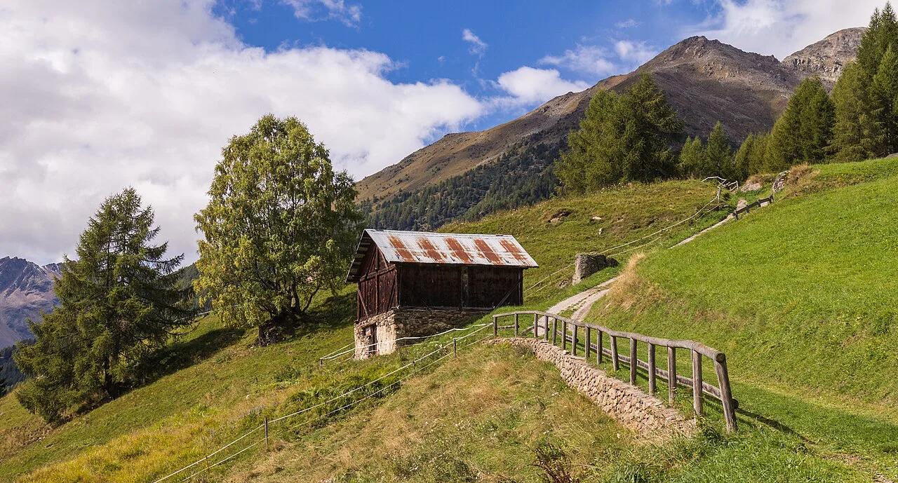
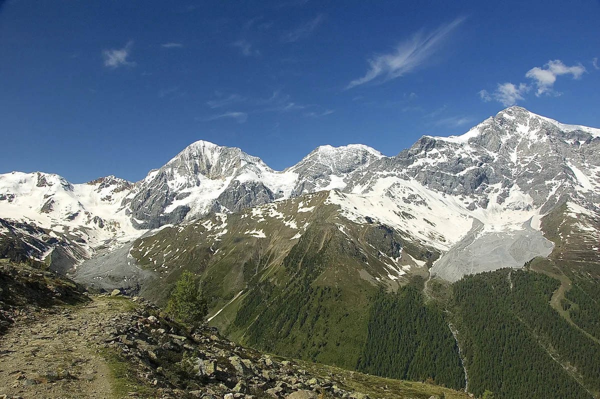
Last updated November 2026: Stelvio National Park covers about 134,620 hectares across four provinces, and it is best approached through one entry valley rather than as a single stop. Pick Bormio or Santa Caterina Valfurva for huts and glaciers on the Lombardy side. Pick Solda or Prato allo Stelvio for South Tyrol, or Cogolo in Val di Peio for Trentino. Our guide to Italy's national parks shows how it compares with the rest of the country.
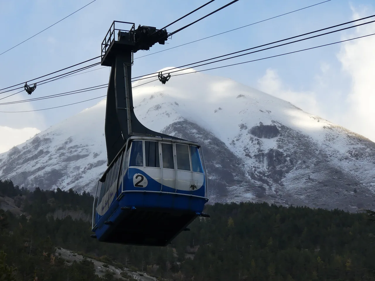
Featured image: Agnes Monkelbaan, CC BY-SA 4.0, via Wikimedia Commons.
Stelvio National Park at a Glance
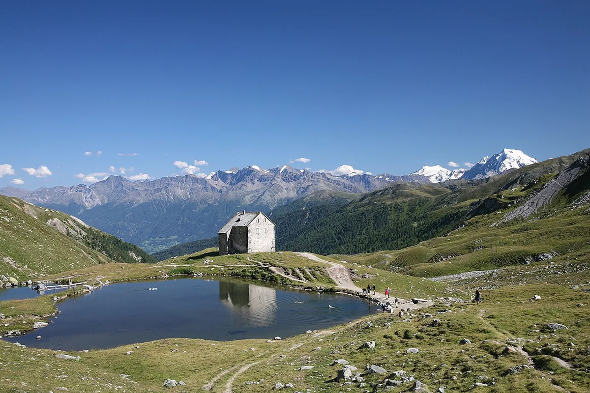
Parco Nazionale dello Stelvio is a high-Alpine reserve with altitudes from about 600 m (1,969 ft) to about 4,000 m (13,123 ft). It holds more than 100 glaciers and has been regulated since 1935. Its four provinces are Sondrio, Brescia, Trento and Bolzano, and each sector has its own visitor information. Read rules sector by sector rather than assuming one set applies everywhere. The official park site is the starting point for trails, rules and visitor centers.
- Best for: hikers, hut-to-hut walkers, wildlife watchers and winter snowshoers.
- Skip if: you only have a few hours and want a single easy viewpoint.
- Main entry towns: Bormio, Santa Caterina Valfurva, Solda/Sulden, Prato allo Stelvio and Cogolo in Val di Peio.
Which Side of Stelvio Should You Visit?
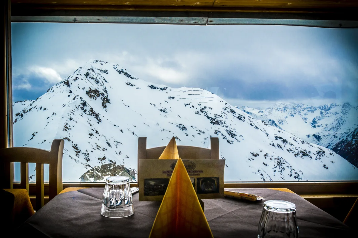
Each side has a different character, and crossing between them takes real driving time. Choose one base and treat the others as a separate trip. Lombardy holds the largest share of the park, and it borders Engadina National Park and the Brenta-Adamello nature park.
| Side | Entry towns and valleys | Best for | Pick this side if |
|---|---|---|---|
| Lombardy | Bormio, Santa Caterina Valfurva, Valfurva, Val Zebrù, Gavia, Forni valley | Glaciers, high huts, wildlife | You want classic hut hiking and glacier views |
| South Tyrol | Solda/Sulden, Prato allo Stelvio, Val Venosta | Ortler-Cevedale scenery, winter walks | You want an Alpine base with trails and snowshoeing nearby |
| Trentino | Cogolo in Val di Peio | Quieter valley walking | You want fewer crowds and a short, focused stay |
Best Things to Do in Stelvio National Park
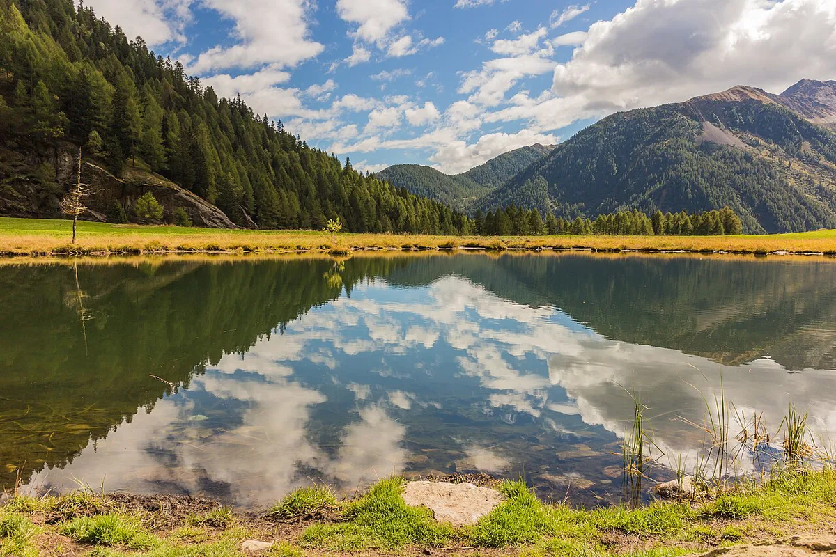
Hiking is the main draw, and the Lombardy side has the best-documented hut network. Rifugio Ghiacciaio dei Forni sits at 2,200 m in Valfurva, below the Forni Glacier. Rifugio Pizzini stands at 2,706 m, also in Valfurva, and Rifugio Quinto Alpini Bertarelli reaches 2,877 m in Val Zebrù. Rifugio Branca, at 2,493 m, sits near Lago delle Rosole. Huts open seasonally, so check each operator before planning a night.
Weather changes fast above 2,000 m, and the Rifugio Ghiacciaio dei Forni at 2,200 m sits above that line.
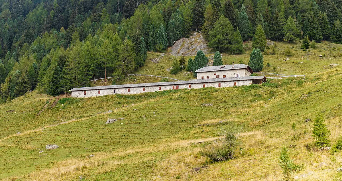
- Summer: hut-to-hut walks and glacier viewpoints in Valfurva, from Santa Caterina Valfurva.
- Summer: wildlife spotting for ibex, chamois, marmots, deer and eagles, ideally with a guide.
- Autumn: quieter trails and larch color in the valleys.
- Winter: snowshoeing and sledding on the South Tyrol side, around Solda and Prato allo Stelvio.
How Long to Spend and Sample Plans
Treat Stelvio as a multi-day region, not a single day trip. Driving between sectors eats time that a short visit cannot spare. Choose one valley and go deep instead.
- Half day: a short walk or viewpoint from one entry town, such as Santa Caterina Valfurva.
- 1 day: one hut hike in a single valley, with a margin for weather.
- Long weekend: base in Bormio or Solda and explore two nearby valleys.
- 3+ days: a hut-to-hut route in one sector, or a separate stay on a second side.
When to Go: Summer, Autumn and Winter
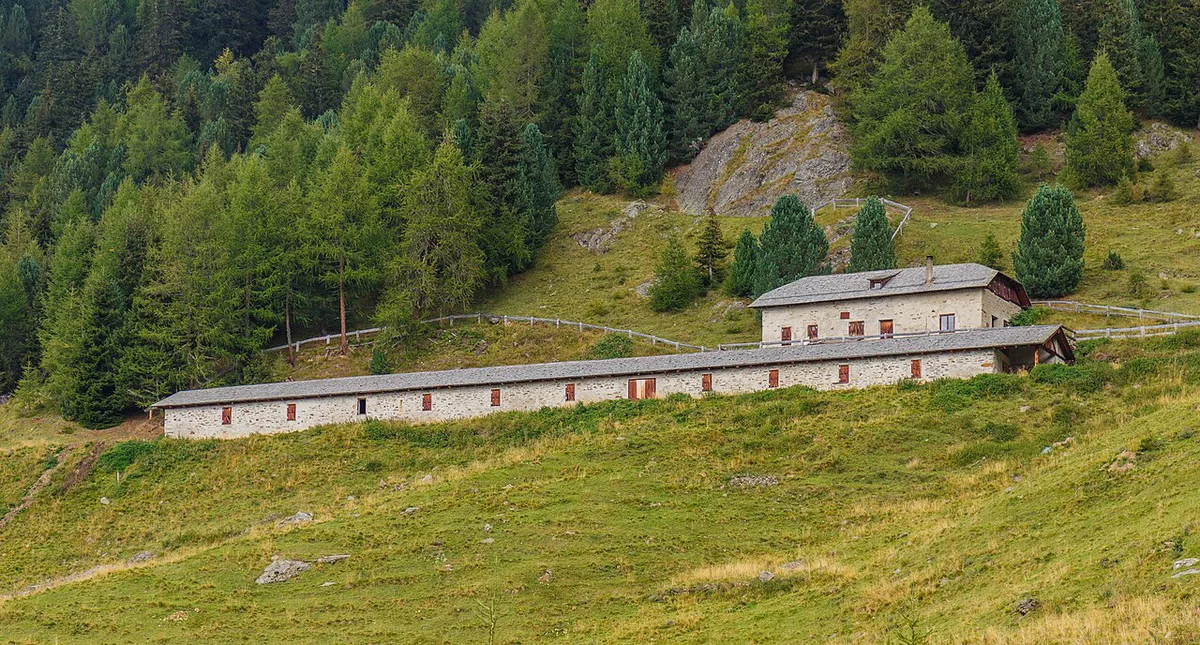
Summer suits hiking, huts and high roads, while autumn brings quieter paths. Winter turns the park into snowshoe and sledding country, with limited access to the high valleys. Huts and the Stelvio Pass road both run seasonally, so check their status with the hut operators and the road authority before you set out. South Tyrol's official tourism site lists current conditions for that side.
Getting There and Getting Around
A car gives the most flexibility, because Alpine buses are patchy and crossing between regions is slow. Base yourself in Bormio, Santa Caterina Valfurva or Prato allo Stelvio, and check the regional operator's timetable for the valley you choose. The Stelvio Pass is a mountain road, and the park is the protected land around it. Driving the pass is not the same as visiting the park, so plan trailheads separately.
Costs, Permits and What to Book
Entry rules and fees differ by sector, so no single answer fits the whole park. Check the official park site for current fees and permits. Book huts and guided walks ahead for summer weekends.
Safety, Wildlife and Park Rules
Weather changes fast above 2,000 m, and glacier terrain needs a guide and proper gear. Huts such as Rifugio Quinto Alpini Bertarelli at 2,877 m sit well into high-altitude conditions. Animals are shy, so be patient, keep your distance and consider a guide for spotting ibex and chamois.
- Mistake: treating the park as a single day trip.
- Mistake: assuming huts and roads are open year-round.
- Mistake: mixing rules between sectors.
Stelvio vs. Other Italian National Parks
Stelvio suits high-altitude glacier walking. For a different Alpine feel, try Dolomiti Bellunesi National Park: Hiking, Access & Planning Guide. Val Grande National Park: Hiking, Access & Planning Guide is a wilder, quieter alternative. For the Apennines, see Gran Sasso National Park Guide: Where to Go and Stay. Our ranking of Italy's best national parks helps you choose.
Frequently Asked Questions
What is the best national park in Italy?
It depends on what you want. Stelvio suits high-Alpine hiking and glaciers, while other parks suit coasts or the Apennines. Our 10 Best National Parks in Italy by Trip Type guide compares them.
Notes for your next park visit
Optional updates to our national park guides.
Read next

Keep planning
Picked from the same area