
Sierra de las Nieves National Park: Trails, Access and Planning
Plan a visit to Sierra de las Nieves National Park: how to get there from Marbella and Ronda, trail options by difficulty, best seasons, and trade-offs.
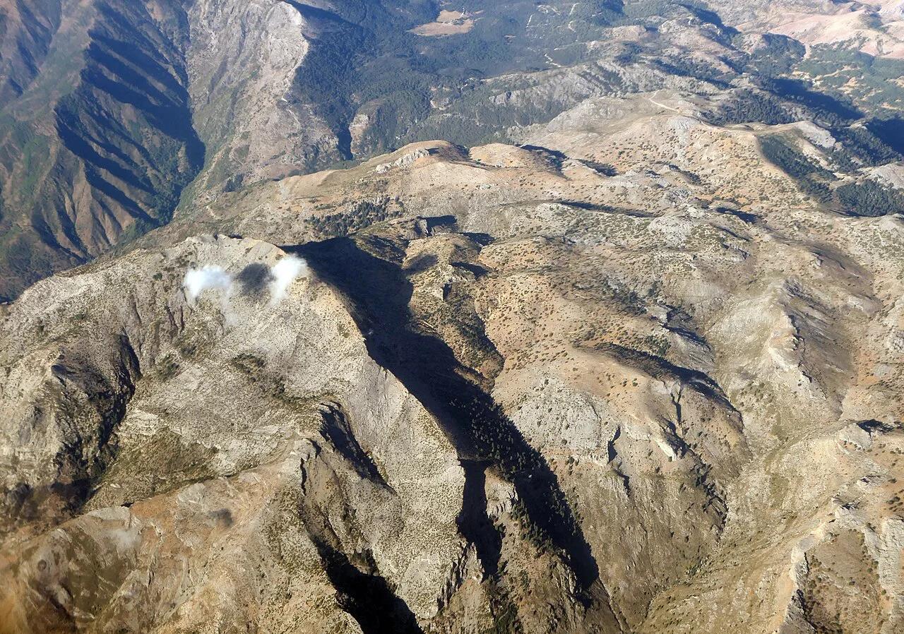
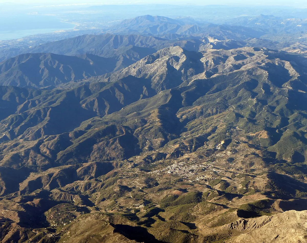
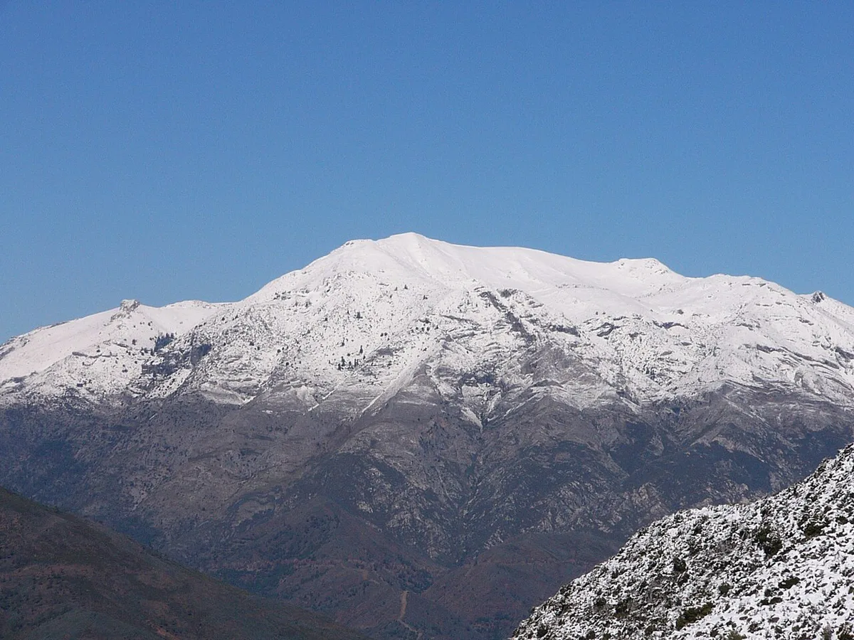
Last updated November 2026: Sierra de las Nieves National Park is Spain's newest national park, set in the Serranía de Ronda area of Málaga province in Andalusia. Limestone ridges rise inland from the Costa del Sol, and La Torrecilla tops out at 1,919 m (about 6,296 ft). Hikers who want mountain trails, Spanish fir forest and village bases get the most from it.
Featured image: Adam Cli, CC BY-SA 4.0, via Wikimedia Commons.
Sierra de las Nieves National Park at a glance
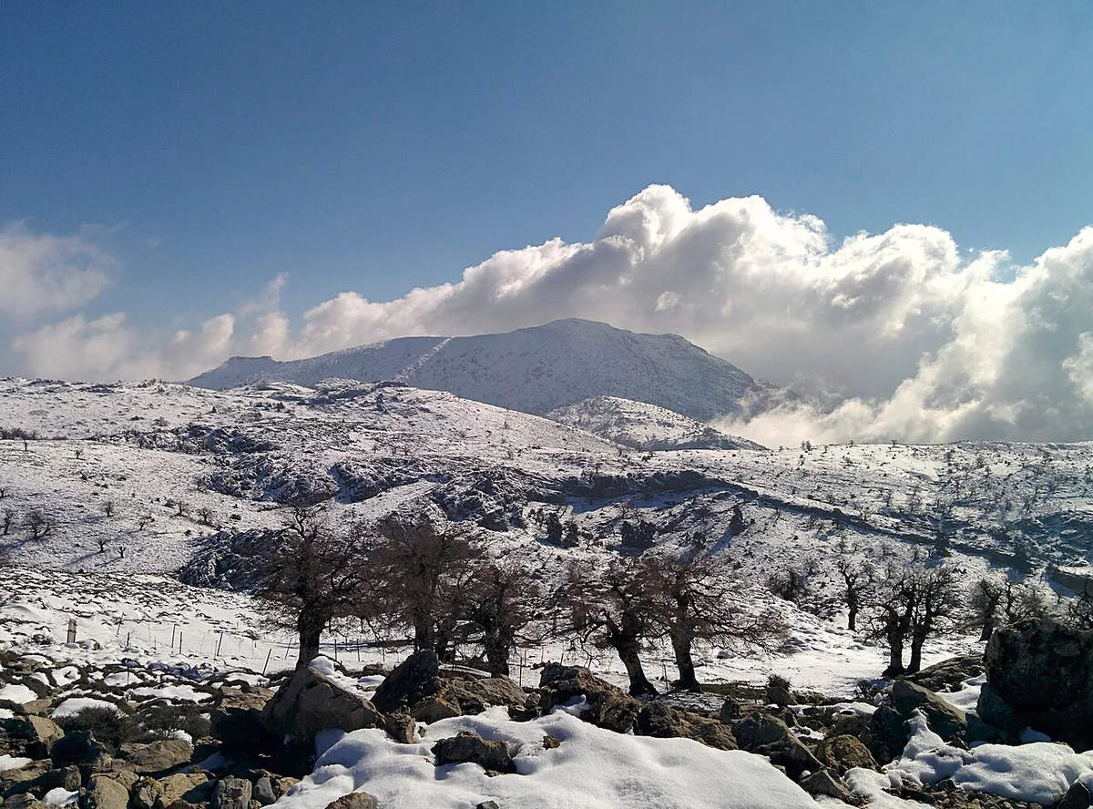
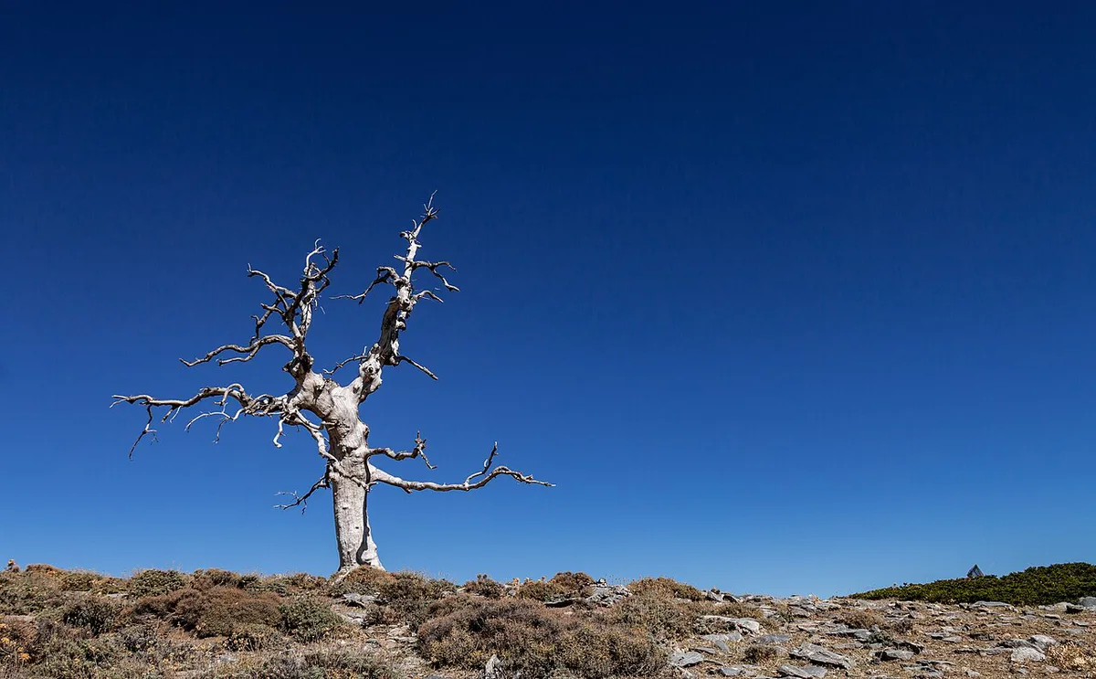
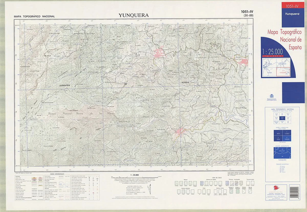
Law 9/2021 of 1 July 2021 created the park, and it came into force on 3 July 2021. Spain's national parks network page carries the official overview. Pinsapo, the Spanish fir, is the emblem tree. La Torrecilla is the highest peak, and on a clear day its summit looks toward the Costa del Sol, Gibraltar and Morocco's Rif Mountains. Access towns include Tolox, El Burgo, Istán and Yunquera, with Ronda on the Serranía side. For the wider picture, start with Spain's national parks.
Is it worth visiting, and who should skip it
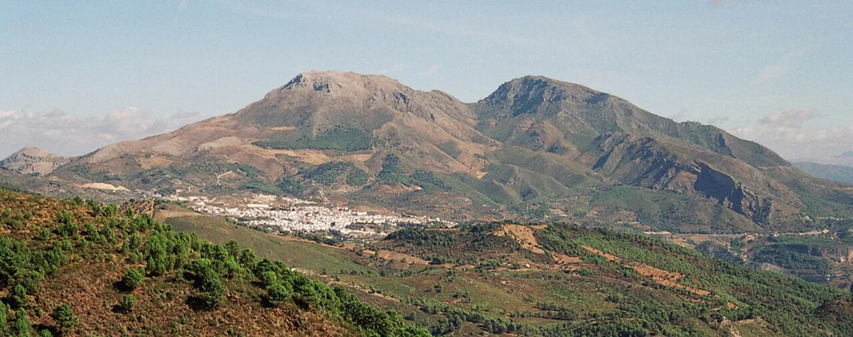
Go if you want varied walking within reach of the coast. Routes range from a 4.36 km cliff-edge loop at Caucón to a 20 km summit day. Spanish fir stands, river pools and viewpoints all sit within a short drive of each other. Some visitors will be better served elsewhere.
- Skip it if you use a wheelchair or have limited mobility. Guided hikes from Tolox are listed as not wheelchair accessible.
- Skip it if you want a quick roadside viewpoint. Almost every highlight needs a walk.
- Skip it if you have no car and no tour. Trailheads sit in village outskirts and mountain car parks.
Best trails by difficulty
Distances and times below are approximate and vary by source. Pick by effort first, then by whether you want water or views.
| Charco de la Virgen | Tolox | 8 km (5 mi), about 3.5 h | Easy | Waterfall half day |
| El Burgo to Río Turón | El Burgo | 9.5 km (6 mi), 2.5 to 3 h | Moderate | Gentle gradient, river and two dams |
| Los Quejigales to Puerto de los Pilones | Tolox side | 8 km (5 mi), 3 to 3.5 h | Moderate | Viewpoint below Cerro de los Pilones |
| Charco del Canalón | Istán | 15 km (9 mi), about 5 h round trip | Moderate to hard | Forest walk to a rock pool |
| Cañada del Cuerno to Torrecilla loop | Tolox side | 15 km (9 mi), full day | Hard | Gorges and Spanish fir |
| Puerto Saucillo to Torrecilla | Tolox side | Almost 20 km (12 mi), about 8 h, 1,000 m+ gain | Hard | Summit day for fit walkers |
- Las Cascadas is a loop of about 10 km from Fuente Amargosa, following the Río de los Caballos past waterfalls.
- Caucón to Tajo de la Caína is a 4.36 km loop with three viewing points. Its cliff drops over 100 m, so keep children close.
- Treat Charco de la Virgen and Charco del Canalón as out-and-back walks. Budget for the return leg.
How to plan your time
Drive time from Marbella to the park edge is reported at about 30 to 40 minutes. That makes a day trip realistic, but the mountain roads add time once you leave the coast.
- Half day: walk Charco de la Virgen from Tolox in about 3.5 hours, then eat in the village.
- Full day: choose El Burgo to Río Turón for 2.5 to 3 hours, or the Canalón route from Istán for about 5 hours.
- Two days: sleep in a village, then use day one for a moderate route and day two for the Torrecilla loop.
Getting there and getting around
Self-driving gives the most freedom. Trailheads such as Tolox, El Burgo and the Fuente Amargosa spa area have parking at or near the start. Space is limited at busy times, so arrive early. Without a car, a guided hike from Tolox is the practical route. One listed tour meets at the Tolox bus stop on San Roque Avenue and runs about 5 hours, including 3 to 4 hours of walking. It was not bookable at last check, so ask local operators for current departures.
Where to stay
Sleeping in Tolox puts you beside the Río de los Caballos routes. El Burgo suits the Río Turón walk, and Istán suits the Canalón pool. The Ronda side opens the Caucón cliff loop. Staying on the Costa del Sol keeps restaurants and flights close but adds a drive each way, plus a return on mountain roads after a long hike. Choose a village if you plan two hikes or the 8-hour Torrecilla route.
Basing in Marbella puts the park edge 30 to 40 minutes away by car, and mountain roads add time after that.
Costs, permits and rules
No entrance fee, permit or reservation requirement is confirmed for general walking. Check the official park pages for current access rules, including fire-season closures and restrictions near the pinsapo zones. Guided tours carry their own prices, so ask the operator.
Best time to visit and conditions
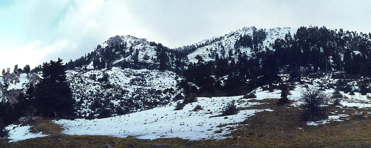
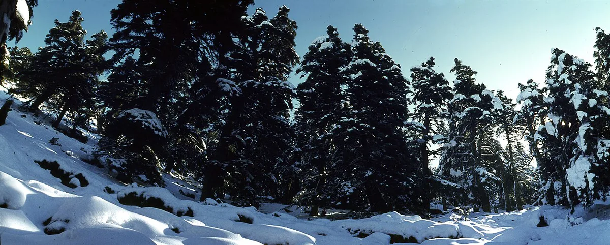
March to June and September to November are the most comfortable walking windows. Coastal summer temperatures exceed 35 °C, and heat is still felt at altitude. Snow lies on the highest ground in winter and can challenge inexperienced walkers. Pools vary by season, so follow signage and park notices before swimming. Low water can leave a pool disappointing.
Common mistakes
A few errors cause most of the trouble on these routes.
- Underestimating Torrecilla: the Puerto Saucillo route is almost 20 km with over 1,000 m of climbing.
- Planning around swimming: rules differ by location and season.
- Carrying too little water and food: shops are in the villages, not on the trail.
- Ignoring closure notices: obey fire-season and trail signage.
- Assuming Costa del Sol weather applies at 1,000 m or higher: pack layers.
Other national parks in Spain
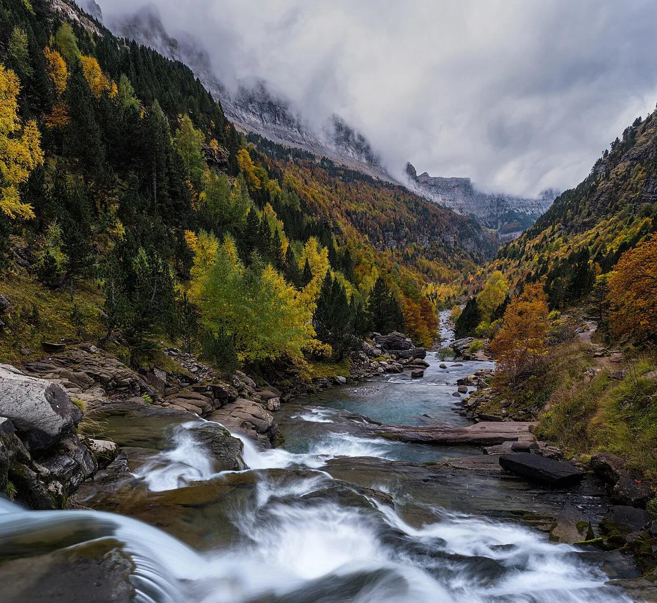
Andalusia also has Sierra Nevada National Park: Visiting Guide, Seasons & Access. Wetland fans can try Doñana's marshes. For high-mountain hiking, compare Ordesa's canyons. To weigh all options, read our ranking of Spain's parks.
Notes for your next park visit
Optional updates to our national park guides.
Read next

Keep planning
Picked from the same area