
National Parks in Europe Map: Where They Are by Region
See where Europe's national parks are, grouped by region, with terrain, season and access tips to help you plan a trip.
Last updated November 2026. This national parks in europe map guide groups the parks by region so you can see where they cluster. Europe has no single continent-wide park system, because each country designates and runs its own parks. That is why a useful map is organised by country and region.
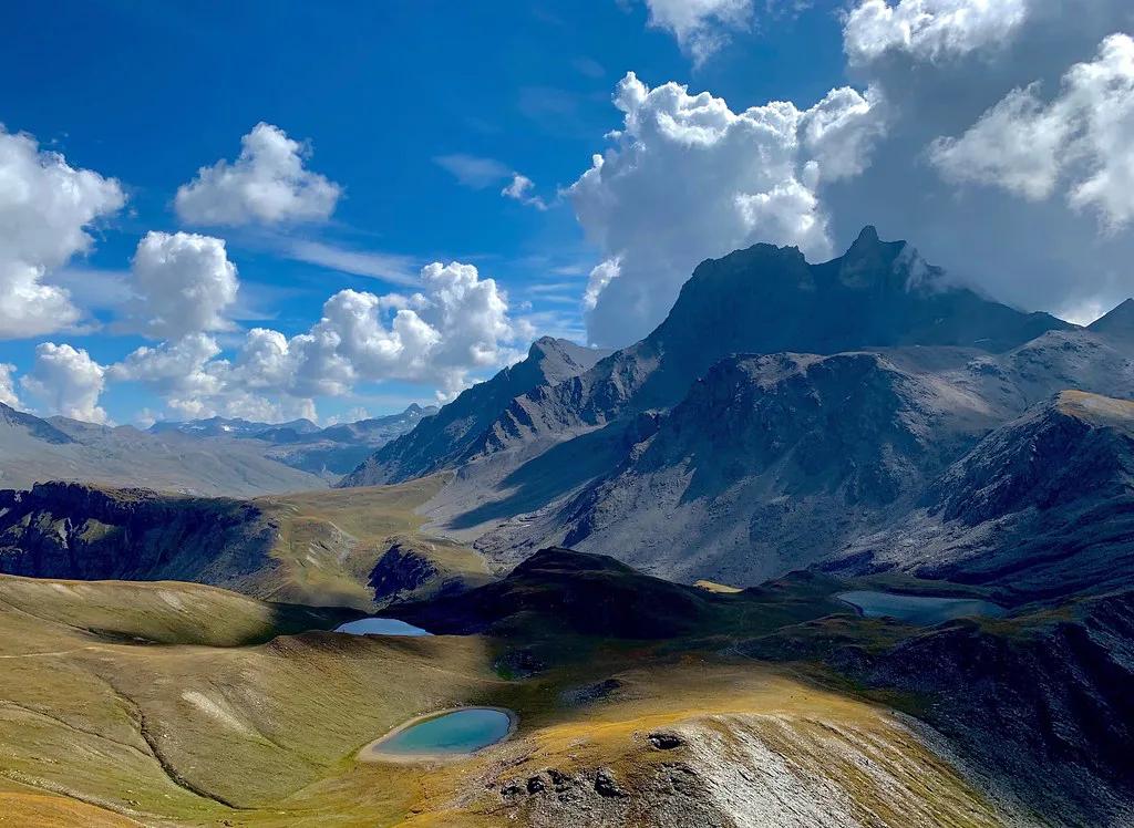
Featured image: johnomason, CC BY 2.0, via Flickr.
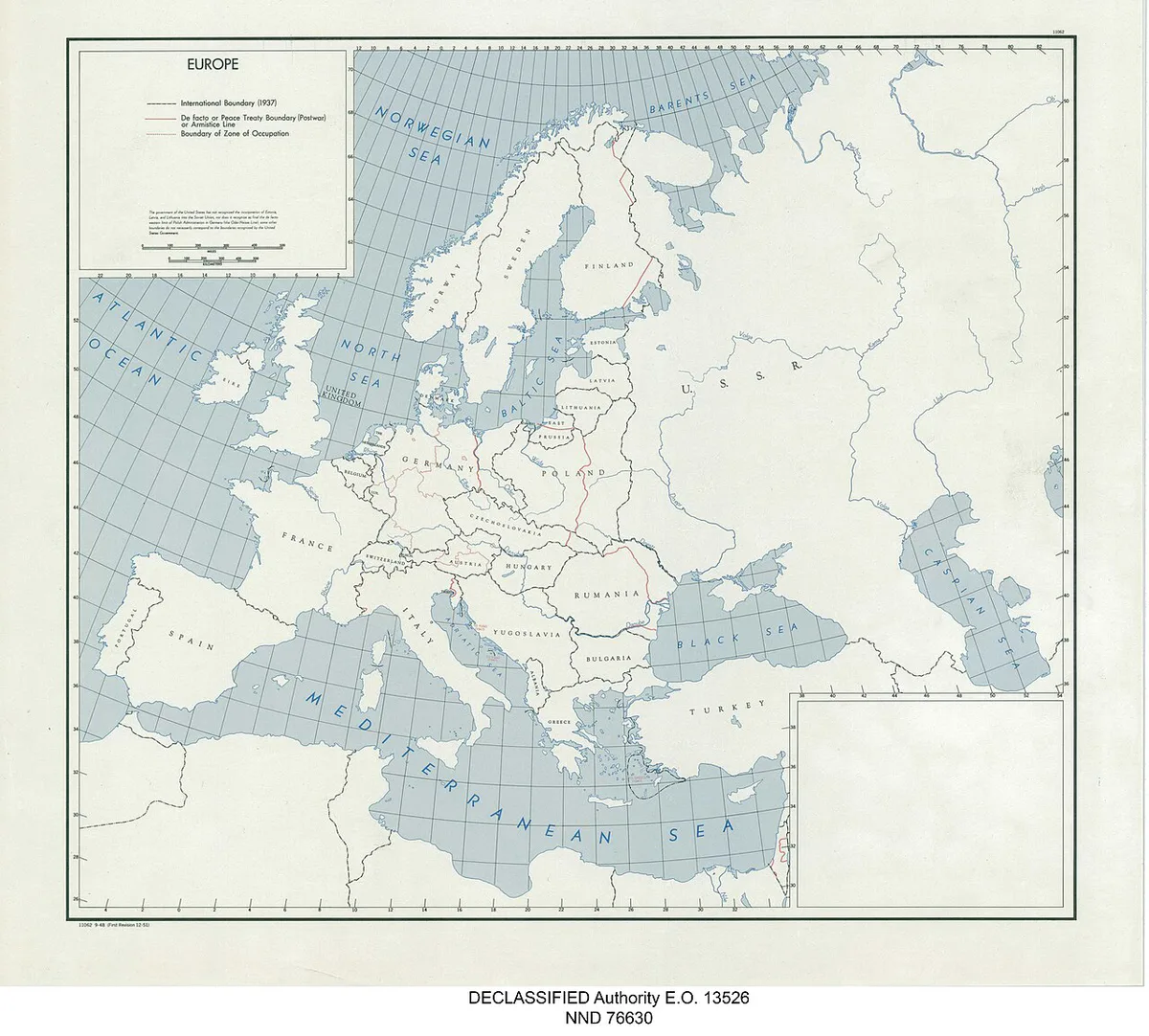
Map of national parks in Europe
Treat the table below as a simplified map in words. It lists one region per row, with example parks and the terrain you will find there. It is a planning guide, not a survey of every protected area. For the full list, read our full guide to the parks.
| Region | Example parks | Terrain | Planning flag |
|---|---|---|---|
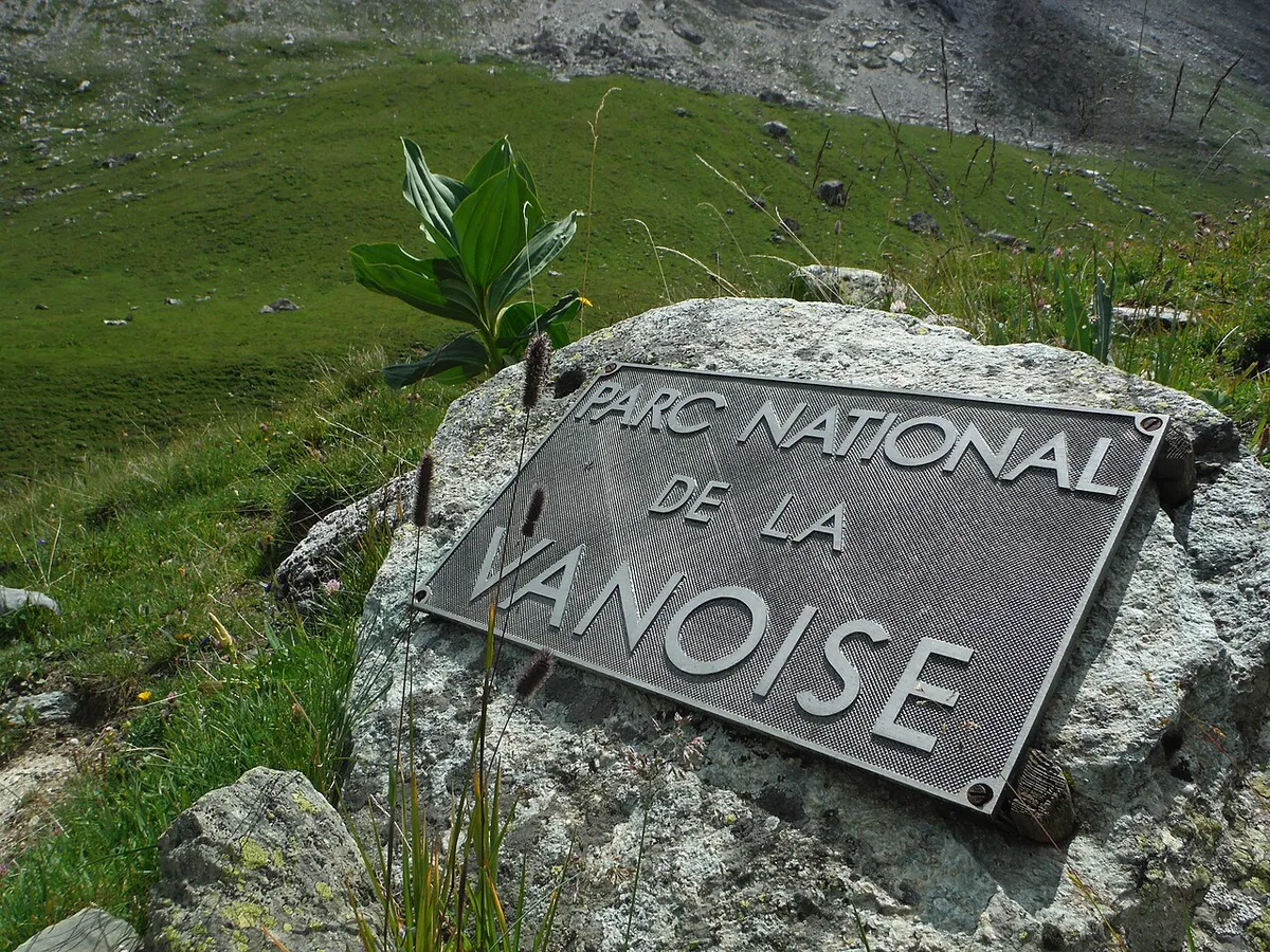
| Alps arc | Vanoise (France), Gran Paradiso (Italy), Swiss National Park, Berchtesgaden (Germany) | High alpine peaks, glacial valleys | Mountain roads and huts can close in winter |
| Iberia | Ordesa (Pyrenees), Picos de Europa (Cantabrian range) | Limestone mountains, deep canyons | Most trailheads are easiest by car |
| Nordic and Arctic | Sarek (Sweden), Vatnajökull (Iceland) | Arctic fell, glacier, volcanic highland | Remote; weather and ferry or road access set the season |
How to read this map
"National park" has different legal meanings across Europe. Some countries use the IUCN protected-area categories, while others apply their own national designations. Regional parks and nature parks are separate designations, and many maps blend them with national parks. Always check the label before you assume a park has the same rules as another. EUROPARC Federation is a good starting point for protected-area definitions. No single map covers every protected area, so use any map as an orientation tool and the park's own site for detail.
National parks by region
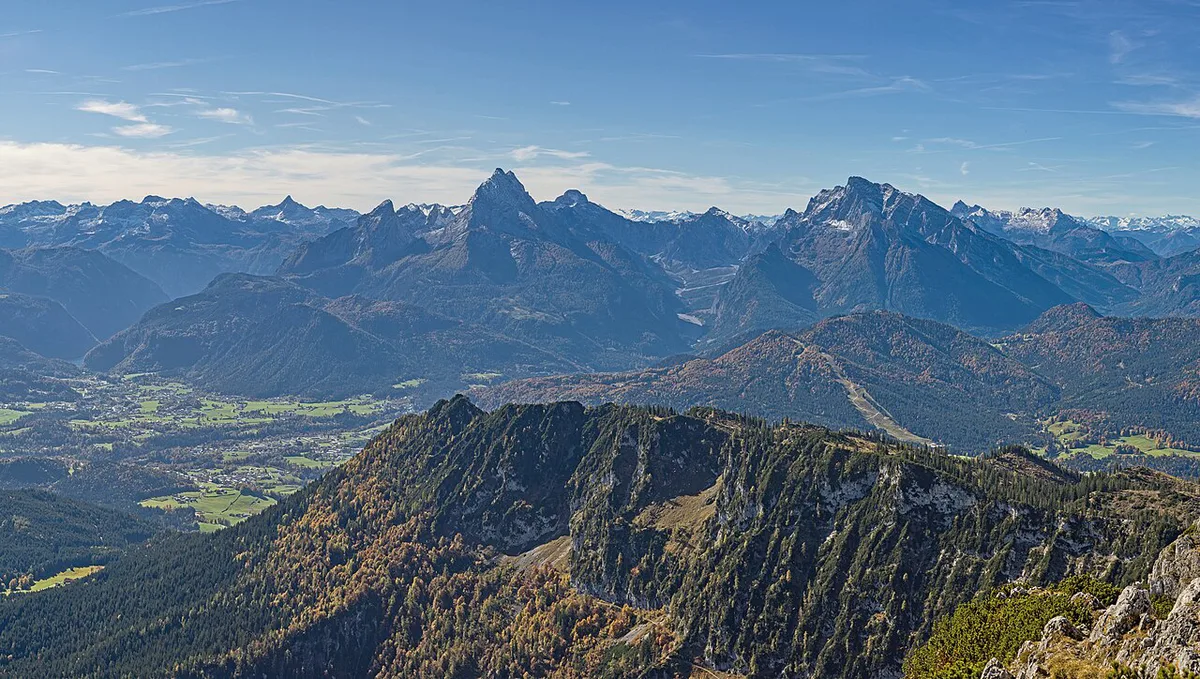
Parks cluster where mountains, glaciers and coasts have kept land undeveloped. Each block below names a few parks that anchor a region.
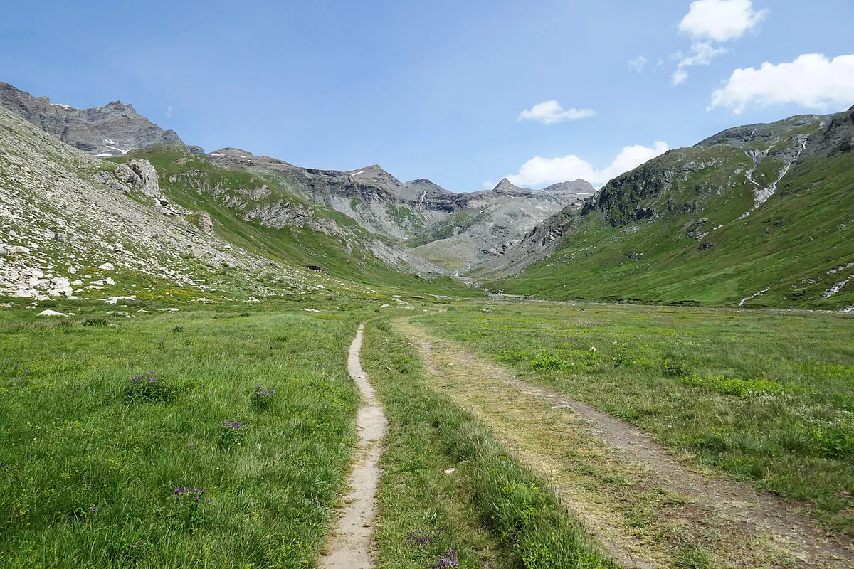
- Alps arc: the chain runs from France through Italy and Switzerland to Austria and Germany. Vanoise National Park sits on the French side. Gran Paradiso is the Italian counterpart nearby.
- Swiss and Bavarian Alps: the Swiss National Park is the main protected alpine reserve in Switzerland. Berchtesgaden is the German Alpine park.
- Spain: the Pyrenees hold Ordesa, while the Cantabrian range holds Picos de Europa. The Spanish national parks network covers both.
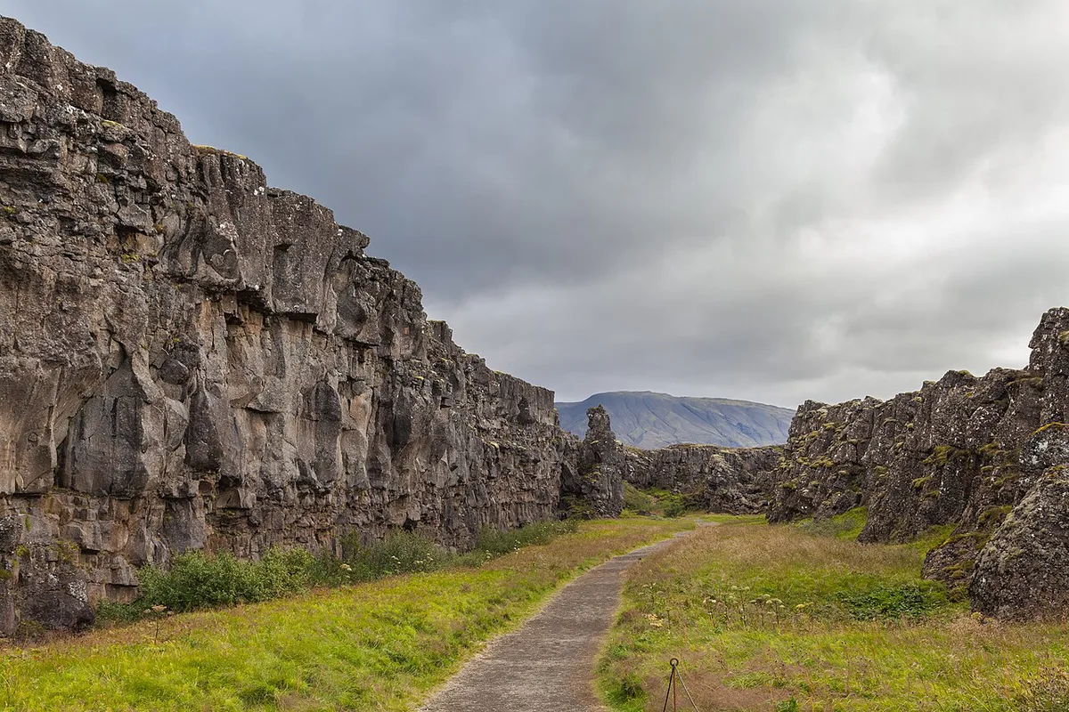
- Nordic and Arctic: Vatnajökull in Iceland is a glacier and volcanic park. Sweden's Sarek is a roadless Arctic mountain area, listed with Swedish national parks.
- Other regions: the British Isles, Italy and the Mediterranean, Central and Eastern Europe, and the Balkans and Carpathians also have parks. Check each country's park agency for current lists.
Choosing a park: decision criteria
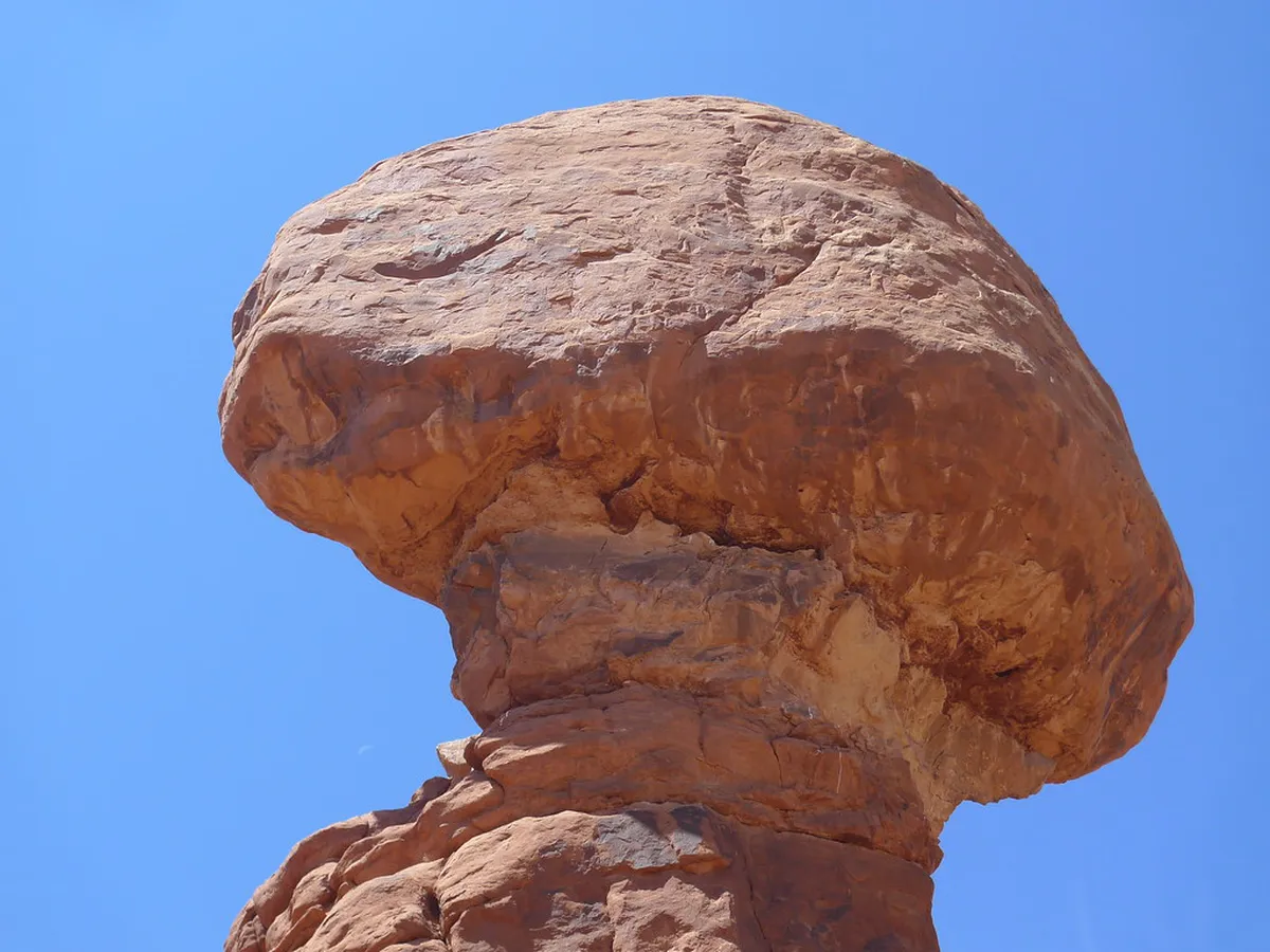
A map shows location, not suitability. Weigh five factors before you pick a park. Terrain tells you whether you need boots, crampons or just a day pack. Season decides whether high-mountain roads, huts and ferries run. Transport matters because remote parks in Iberia and the Nordic countries are far easier with a car. Rules on permits, fees and parking differ by country and park. Trip length decides between a day visit and a multi-day trek.
Once your criteria are clear, move on to where to go first. For scenery-led picks, see scenic park choices. For size, read about the biggest park.
Planning your route: time, transport and seasons
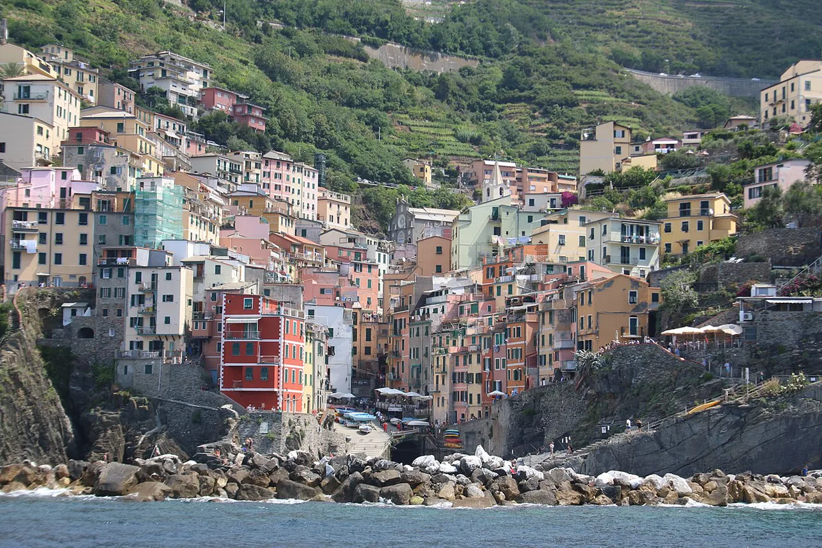
Regions sit far apart, so build a trip around one or two of them. The Alps arc is the easiest to combine because France, Italy, Switzerland and Germany adjoin it. Iberia and the Nordic countries each deserve a separate trip. Alpine passes and high huts can close outside summer. Ferry timetables and Arctic road access also change by season. Look at the park's official page for current opening dates before you book transport.
Costs, permits and booking
Many European parks do not charge for entry, but parking, huts, guided trips or camping can cost money. Rules differ by country and sometimes by park. Wild camping is allowed in some areas and banned in others, so read the official park page for your destination. A pass for one park or country rarely covers another. Prices and hours change each year, so confirm them with the park authority before you travel.
Printed maps, apps and official map sources
Paper maps work without a signal, which helps in remote mountain areas. National Geographic publishes a printed map of Europe's national parks, reserves and protected areas. Digital maps let you zoom, but boundaries vary by data source. Official park sites usually give the most reliable trail and access detail. Use the printed or app map to orient yourself, then the park's own map to walk.
Common mistakes
Three errors recur when travelers plan with a map. First, assuming one pass covers all parks. Second, ignoring seasonal access to high roads and huts. Third, mixing up national, regional and nature parks, which have different rules. Avoid all three by checking each park's official page.
Frequently Asked Questions
How many national parks are there in Europe?
There is no single official count, because each country defines and counts its own parks. The total also changes with the definition you use. Check EUROPARC Federation or national park agencies for current figures.
Can you show me a map of the major mountain ranges in Europe?
Several ranges hold clusters of parks. The Alps run through France, Italy, Switzerland, Austria and Germany. The Pyrenees and Cantabrian range sit in Spain, and the Scandinavian fells run through the Nordic countries.
Notes for your next park visit
Optional updates to our national park guides.
Read next
Keep planning
Picked from the same area