
Aspromonte National Park: Hikes, Access and Trip Planning
Plan a trip to Aspromonte National Park in Calabria: how to get there, best hikes and waterfalls, villages, safety, and who should skip it.
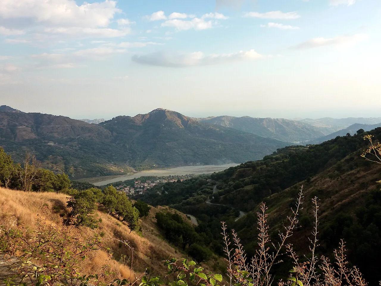
Last updated November 2026: Aspromonte National Park (Parco Nazionale dell'Aspromonte) covers about 64,153 hectares in the Metropolitan City of Reggio Calabria, at the southern end of the Apennines. It suits self-driving hikers and anyone drawn to geology and Greek-speaking villages. Compare it with other parks in our guide to Italy's national parks before you commit.
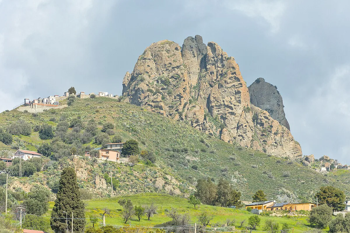
Featured image: Adbar, CC BY-SA 3.0, via Wikimedia Commons.
Aspromonte National Park at a glance
Aspromonte sits in the Metropolitan City of Reggio Calabria, on the southern toe of Italy. Its area is 64,153 hectares (about 158,500 acres), or 641.5 square kilometers. Reggio Calabria is the gateway city. Montalto, at 1,956 m (about 6,417 ft), is the highest peak. UNESCO has listed the area as a Global Geopark since 2021, and its soil is crystalline granite. Expect a remote, lightly developed park. Marked trails can be limited, English is not guaranteed, and phone signal drops out in the forest.
- Official name: Parco Nazionale dell'Aspromonte.
- Protection: IUCN Category II (national park) and UNESCO Global Geopark.
- Founding year: the national inventory gives 1989, while another source gives 1994, so check the park authority's site before quoting either.
- Go if: you drive, hike, and want waterfalls, rock formations and Greek-speaking villages in one region.
- Skip if: you have no car, or your Calabria trip is short and coastal.
Best things to do in Aspromonte
Four kinds of stops anchor most visits. Each one has a different effort level and a different access problem.
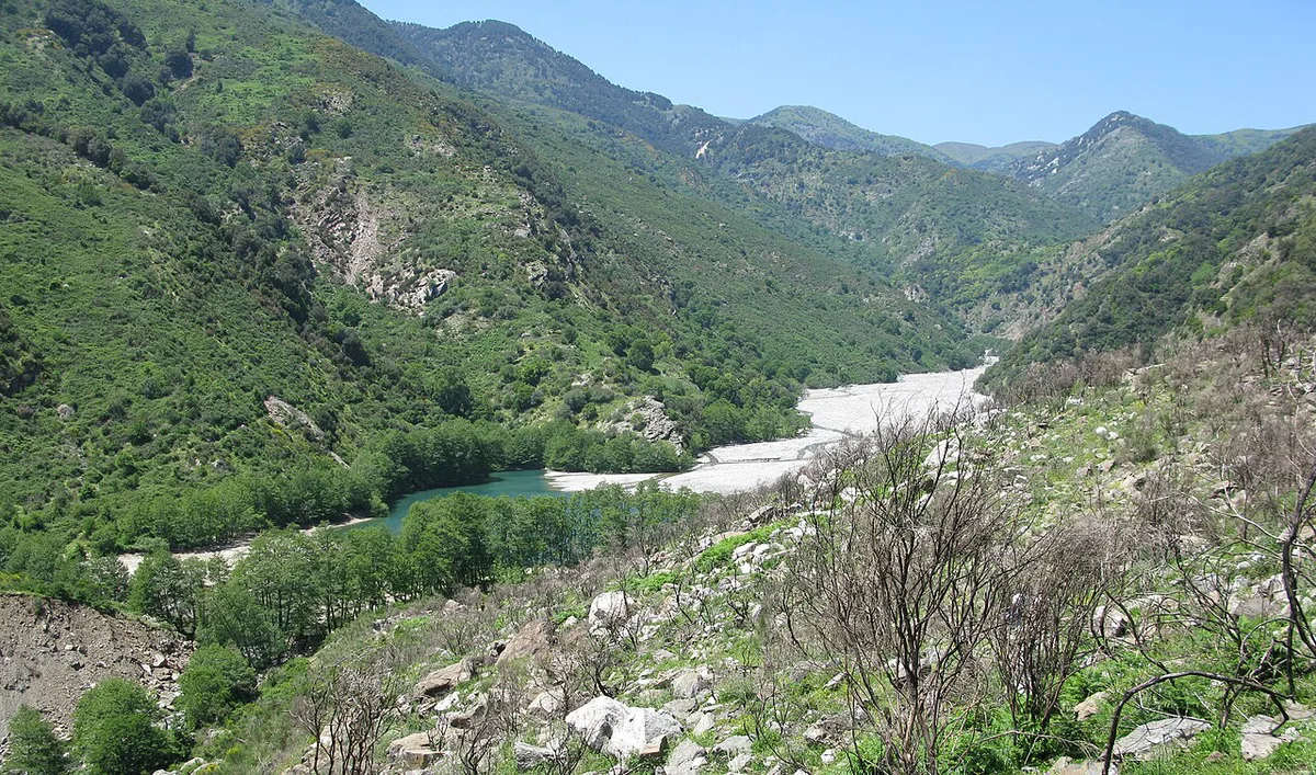
- Cascate del Maesano: an easy waterfall walk of 3.67 km. Access is by road to the Maesano area, which Komoot lists at 1,380 m elevation. Skip it if rain or mud is forecast.
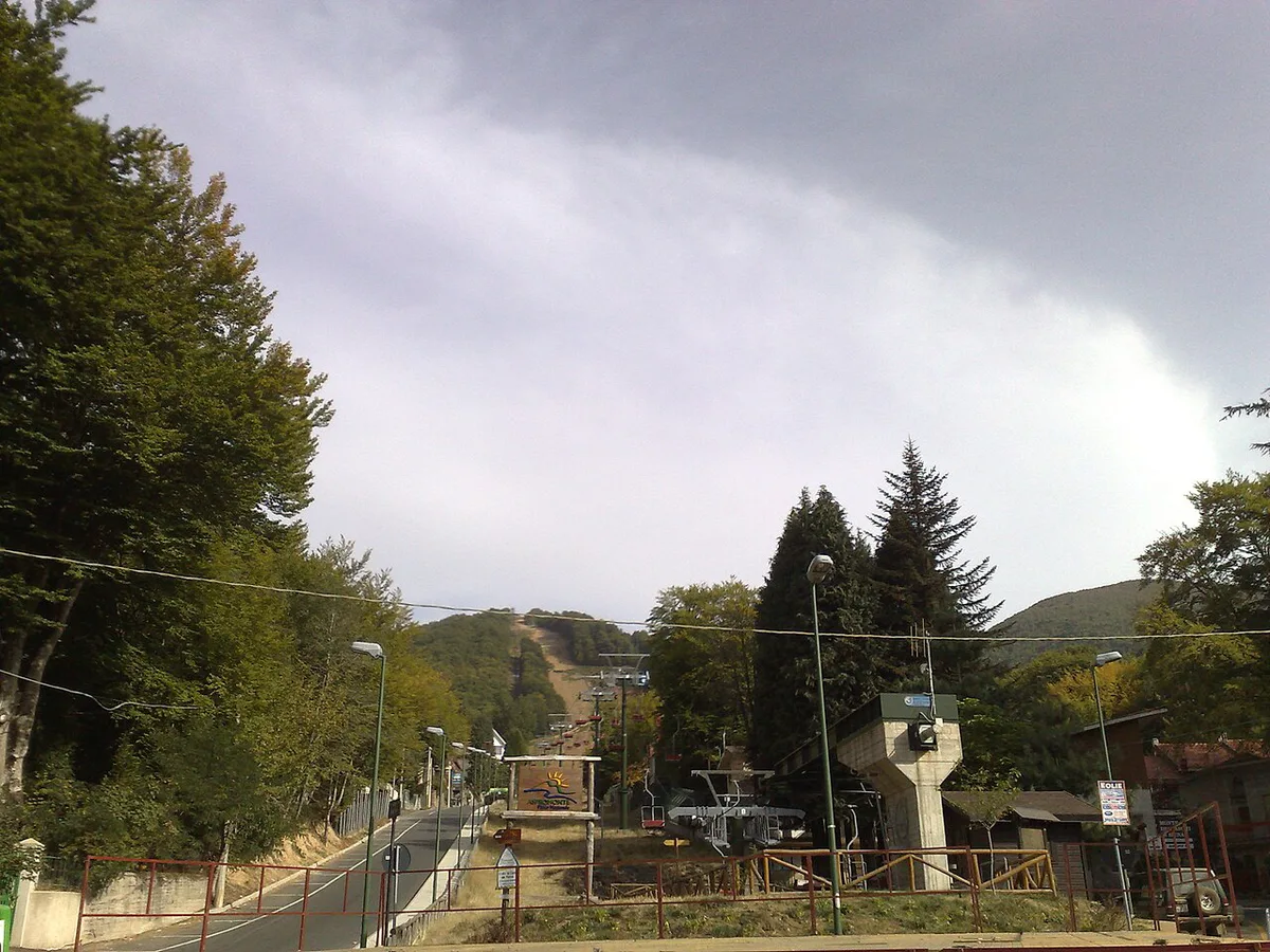
- Montalto (1,956 m): the park's highest summit. Forest roads nearby have been reported as steep gravel, so a low rental car may struggle. Skip it without a high-clearance vehicle or a long day.
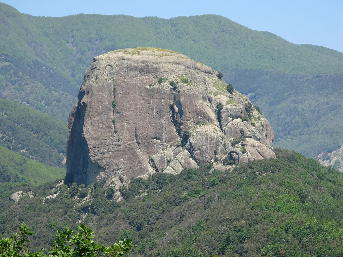
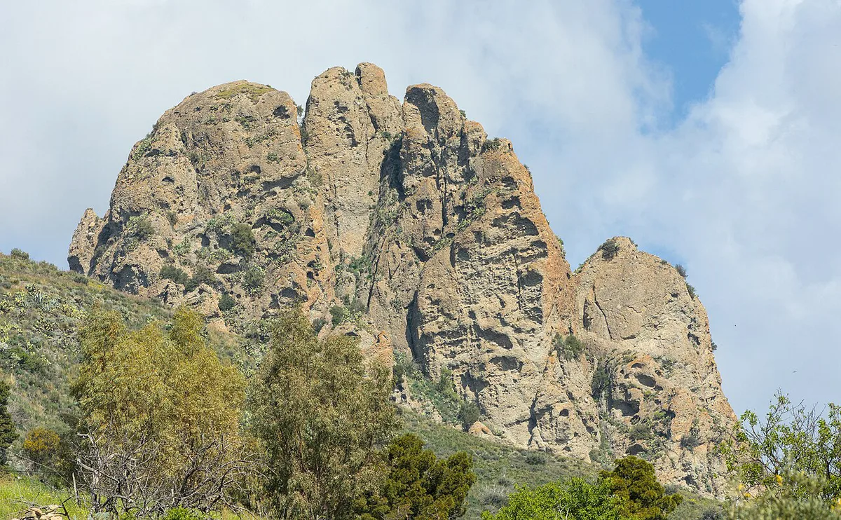
- Pietra Cappa: a rock formation with a dedicated viewpoint on popular route lists. Skip it if you want a short, signed path from a car park.
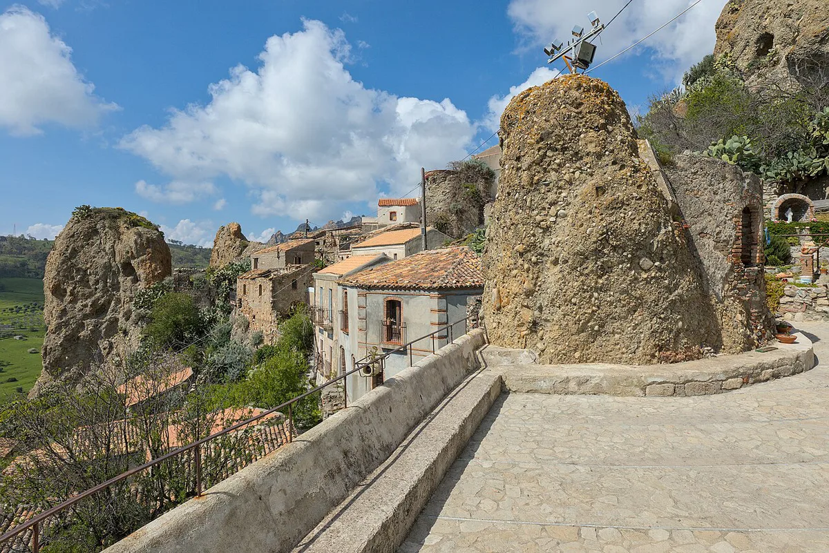
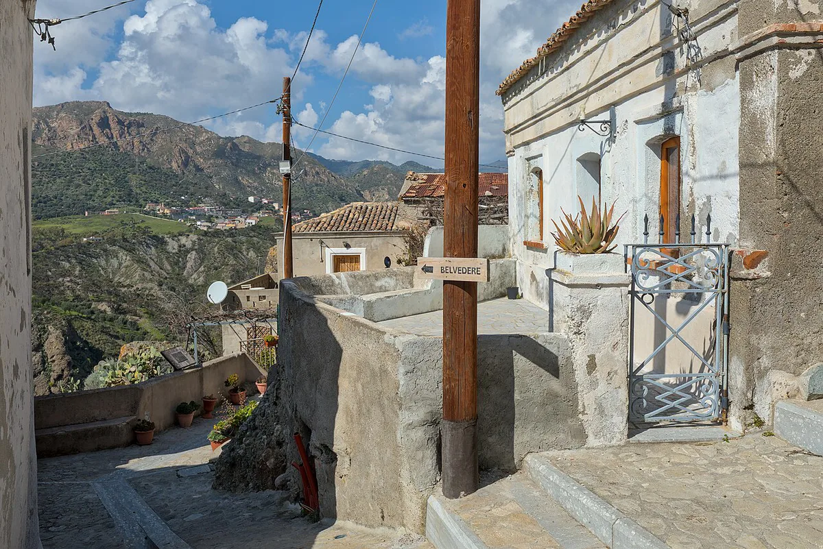
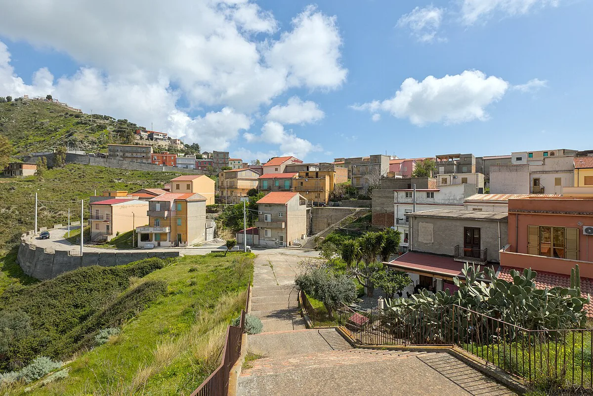
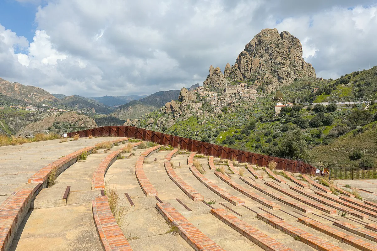
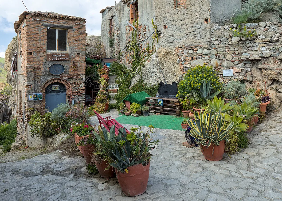
- Gallicianò and Bova: Greek-speaking (Grecanic) villages with viewpoints over the Amendolea valley and the surrounding mountains. Skip them if you only want trail time.
Aspromonte hikes by difficulty and time
These figures are user-recorded Komoot data, so treat them as planning estimates. Tracks and trail status can change. Komoot's scale calls a route easy up to 2 hours and 1,000 ft of ascent. Moderate runs up to 5 hours and 3,000 ft. Hard means more than 5 hours or 3,000 ft, with sturdy shoes and mountain experience expected.
| Route | Distance | Time | Ascent | Komoot grade |
|---|---|---|---|---|
| Cascate del Maesano | 3.67 km (2.3 mi) | 1 h 07 | 120 m (about 394 ft) | Easy |
| Lago del Menta to Maesano loop from Piani di Salò | 21.0 km (13.0 mi) | 6 h 26 | 740 m (about 2,428 ft) | Hard |
| Forgiarelle Waterfalls loop from Diga del Menta | 23.4 km (14.5 mi) | 7 h 07 | 770 m (about 2,526 ft) | Hard |
How to plan your time
Aspromonte rewards a base-and-return plan rather than a quick stop. Drive times from Reggio Calabria are not published in the sources above, so check them in a navigation app before you fix a schedule.
- Half day: walk to Cascate del Maesano, about 1 h 07 on the Komoot track, and add a viewpoint stop.
- Full day: pick one hard loop of 6 h 26 or 7 h 07 and start early. Both climb more than 700 m.
- Two to three days: base in Gambarie d'Aspromonte for the waterfall and one loop, then spend the last day in Gallicianò and Bova.
- Short Calabria trip: choose one Maesano walk plus one village, and skip the long loops.
Getting there and getting around
Reggio Calabria is the gateway city, so start from its airport or station and confirm current options with the operators. A car is practically required, because trailheads and villages are spread across forest roads. Gambarie d'Aspromonte has long served as the base for trail information, though staff may not speak English. Gravel roads near Montalto are hard on small rental cars. Download offline maps before you leave Reggio, because coverage in the forest is patchy.
Gravel roads near Montalto are hard on small rental cars, so with one, pick the 1 h 07 Maesano walk over the summit.
Costs, permits and opening hours
No verified entry fee, permit rule or visitor-centre hours are available for this page. Check the official park site for current rules and trail closures.
Where to stay
Pick your base by trade-off rather than by hotel name. Mountain access, airport convenience and beach time rarely come from the same town.
- Gambarie d'Aspromonte: shortest approach to the high trails and the trail-information office, with fewer city services.
- Reggio Calabria: airport, station and ferry links, but a longer drive to every trailhead.
- Ionian or Tyrrhenian coastal towns: beaches and sea views, with the longest drives to the park. Visitors based near Tropea have made the trip as a long day out.
- Agriturismo or mountain-hut stays: useful for early starts, though you should ask the owners about road conditions.
Safety, weather and seasons
Mountain weather differs sharply from the coast. Montalto reaches 1,956 m, and the Maesano area sits at 1,380 m, so pack layers even when Reggio Calabria is warm. Seasonal advice, including snow and summer heat, should come from the park authority or Calabria's official tourism site. Carry water and food, because forest routes can pass no shops. Share your route with someone before you start.
- Mistake: driving a low rental car onto gravel forest roads near Montalto.
- Mistake: relying on live maps with no offline download.
- Mistake: underestimating ascent. A 770 m climb on the Forgiarelle loop feels long after a 7-hour day.
- Mistake: assuming office staff speak English. Carry a translation app or written Italian questions.
Other parks to compare
Aspromonte is rugged and lightly developed, with fewer facilities than northern Italian parks. For another Calabria hiking option, try Sila National Park Guide: Where to Stay & How to Visit. Pollino sits across the Basilicata border, and Pollino National Park Guide: Where to Stay, Hikes & Planning is the larger mountain alternative. For coast-and-hill routes in Campania, read about Cilento National Park Guide: Caves, Coves, Trails & Where to Stay. Our ranking of Italy's best parks helps you choose between them.
Frequently Asked Questions
What are some of the major mountains in Calabria?
Montalto, at 1,956 m, is the highest peak in Aspromonte National Park. Other ranges sit in Sila and Pollino, which have their own guides on this site.
What is the best National Park in Italy?
It depends on what you want from the trip. Aspromonte suits self-driving hikers who want remote terrain. Our comparison of Italy's top parks sets the options side by side.
Notes for your next park visit
Optional updates to our national park guides.
Read next

Keep planning
Picked from the same area