
Torc Mountain Walk: Route, Time, Views & Tips (Killarney)
Planning to climb Torc Mountain in Killarney National Park? See the route from Torc Waterfall, what the trail is like, summit views, and who should skip it.
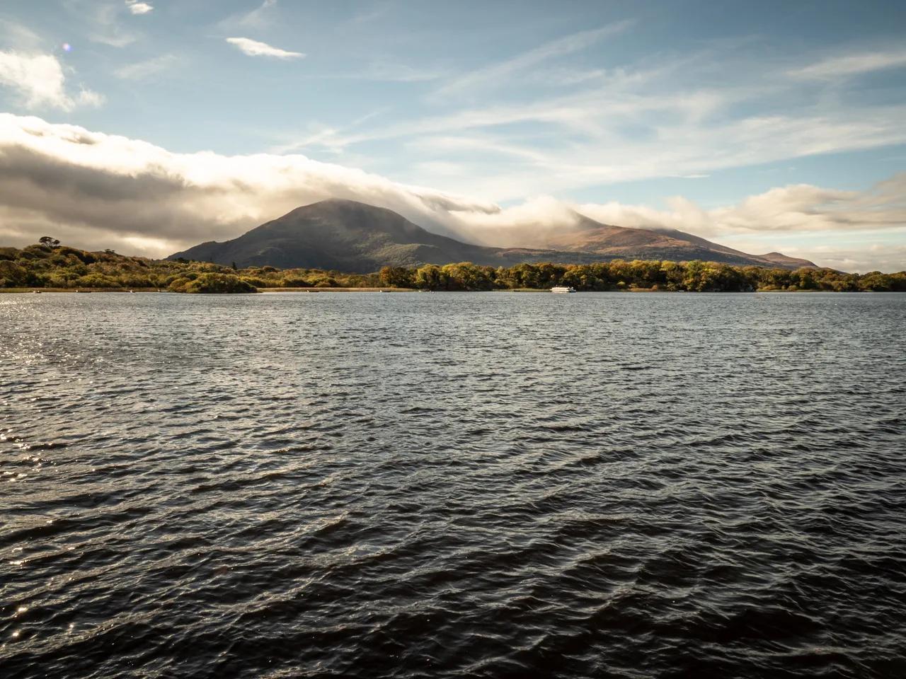
Last updated November 2026. Torc Mountain is a 535 m (about 1,755 ft) hill walk near Killarney in County Kerry, reached by a marked route from the Torc Waterfall area. Summit views take in the Lakes of Killarney, so a clear day repays the effort. Plan on a proper hill walk with boggy ground and steps, not a stroll, and read on to decide whether it suits your day.
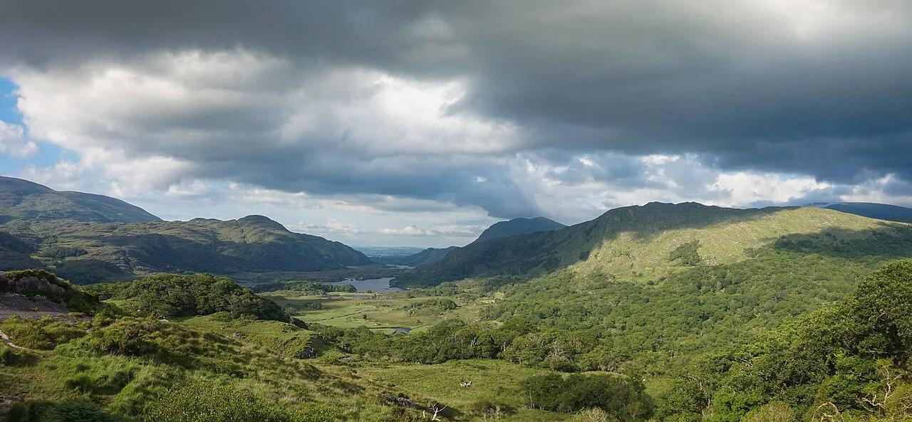
Featured image: fabianwalden, CC BY 2.0, via Flickr.
Torc Mountain at a Glance
Torc Mountain sits in the Mangerton Mountain Group inside 8 Best Things to Do in Killarney National Park. It is classed as an Arderin and a Marilyn. One hiker's 2018 GPS log recorded 698 m of ascent on a long loop of 18.9 km that took 4 h 07 min. Treat that as a personal record of a longer day, not a standard time.
| Detail | What to know |
|---|---|
| Summit height | 535 m (about 1,755 ft) |
| Start point | Torc Waterfall car park area |
| Terrain | Stone paths, Old Kenmare Road, boarded track over boggy ground |
| Feel | Hill walk with steps and wet ground |
| Best for | Walkers in proper footwear with a few free hours |
| Skip if | Cloud is down, daylight is short, or you have young children |
How to Get to the Torc Mountain Trailhead
Start at Torc Waterfall, Killarney: Walk, Parking & Tips. The 2018 walker took a shuttle bus from Killarney town to the Torc Waterfall car park. Bus operation and seasons change, so ask at the park visitor centre for current details. Driving puts you straight at the car park. A jaunting car ride is another way to reach the park edge, though it adds time and a fare.
- Shuttle bus from Killarney town to the Torc Waterfall car park
- Car, using the Torc Waterfall car park
- Jaunting car or bike toward the park edge
The Torc Mountain Route: What the Walk Is Like
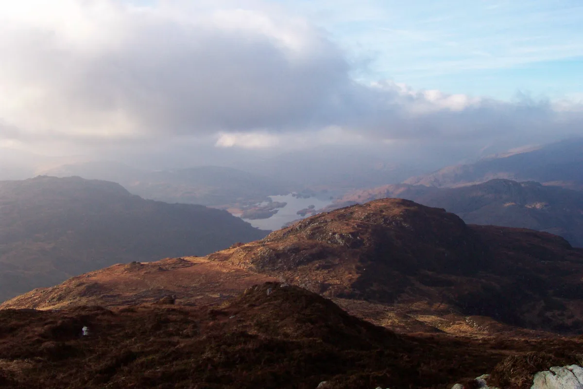
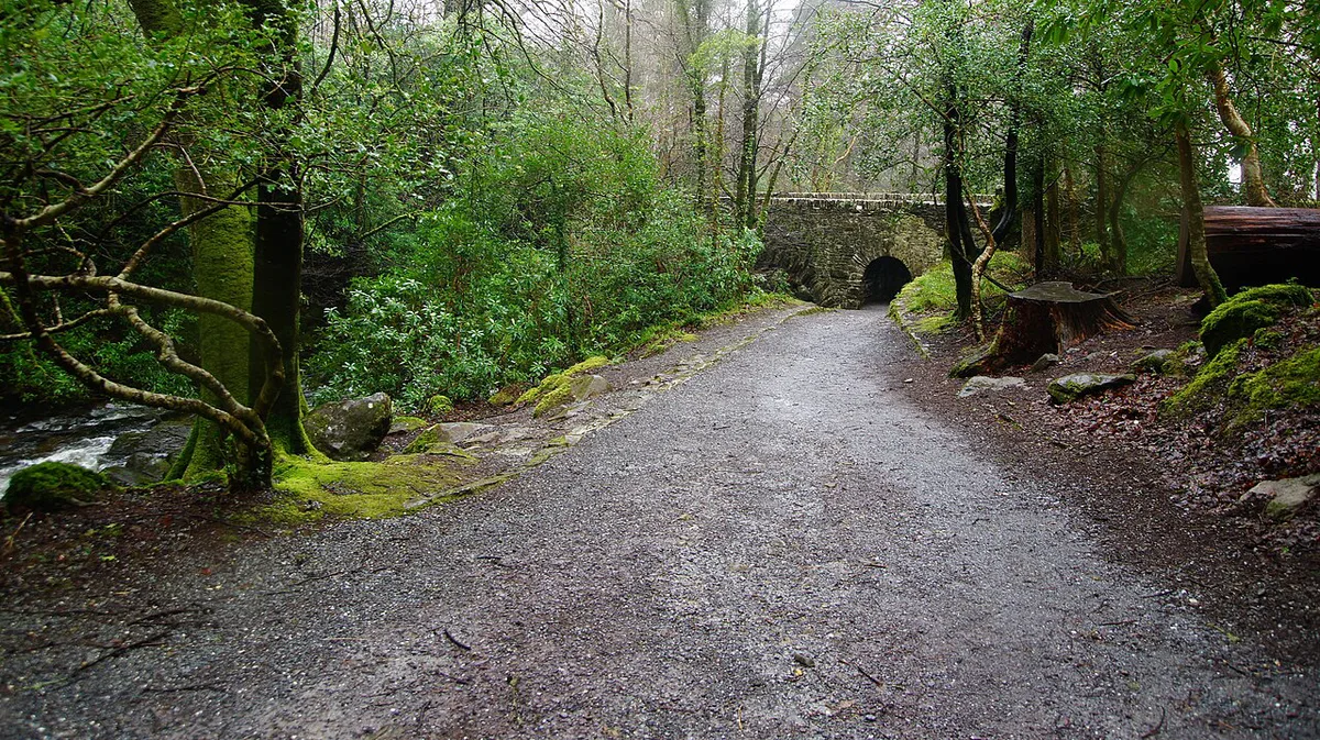
Walk past Torc Waterfall on the blue trail to the upper car park. Leave the blue trail at a T intersection and follow the Kerry Way to the signed ascent. Much of the climb is wooden planks and stone steps. Higher up, a boarded track crosses boggy ground, and the Old Kenmare Road gives long open views. Check the route on the park map before you set off.
Torc Mountain Route Options and Time Trade-Offs
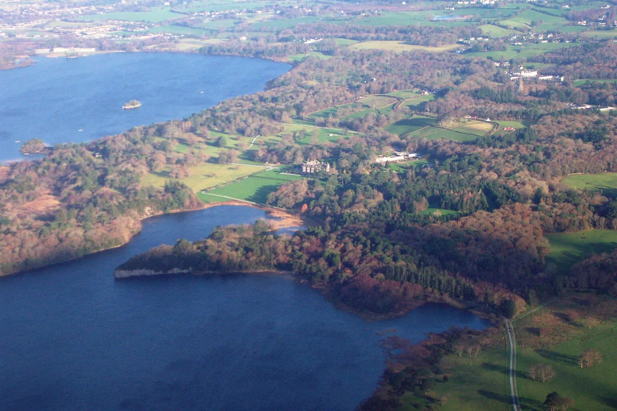
Most walkers choose between a short out-and-back from the waterfall and a longer loop. The 2018 loop added the lakeshore paths and Muckross Abbey, then returned to town by road. Time depends on your pace and stops, so budget generously.
Don't plan around 4 h 07 min for the summit alone. That moving time covers the extended return via Muckross Abbey, not just the climb.
| Option | Effort | Logistics | Add-ons |
|---|---|---|---|
| Out-and-back from Torc Waterfall | Steady climb, same way down | Return to the car or bus stop | Torc Waterfall at the start |
| Longer loop to Killarney town | Long day, one hiker logged 18.9 km | Bus out, walk back | Muckross Lake, Lough Leane, Muckross Abbey, Killarney: Visiting Guide & Tips |
What You'll See From the Summit
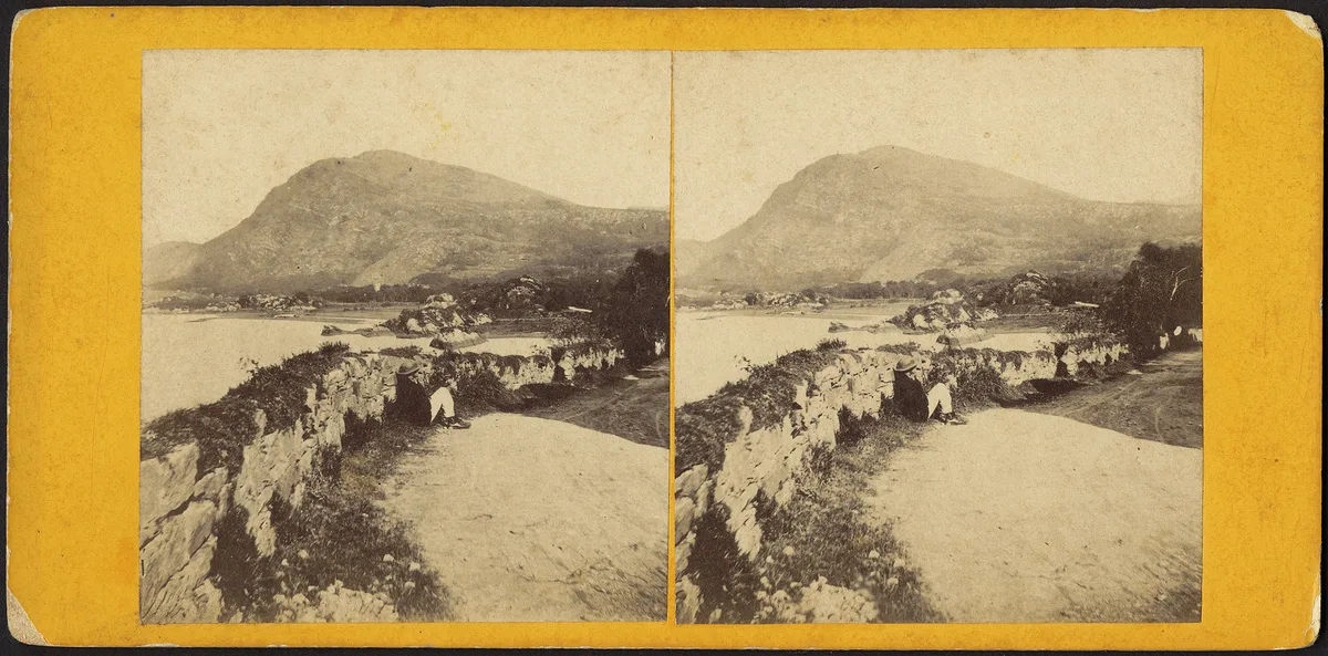
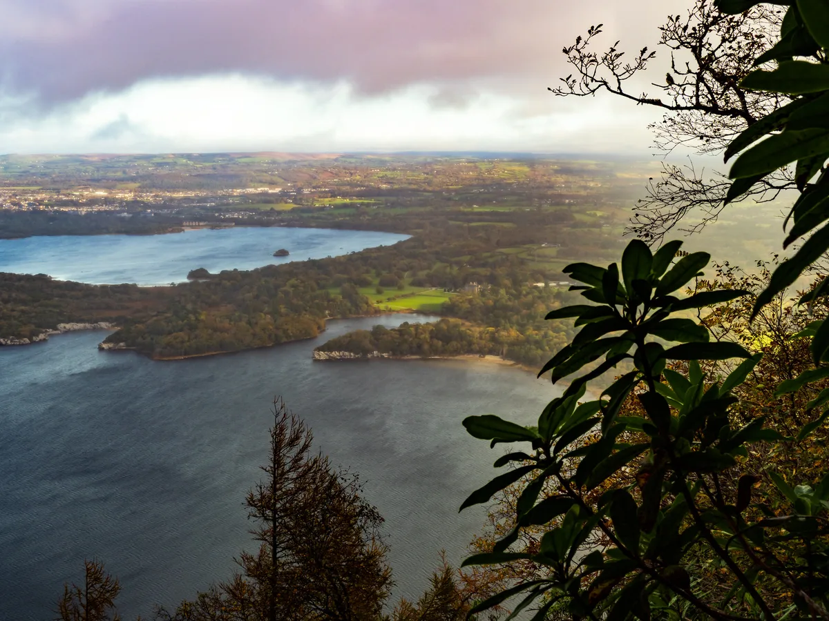
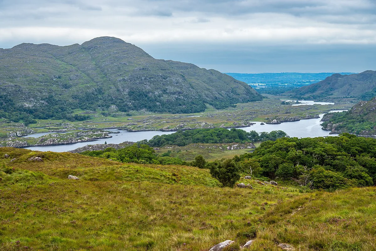
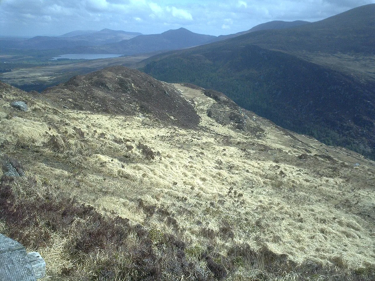
From the top you look over the Lakes of Killarney, the Black Valley, the MacGillycuddy's Reeks and Muckross House. Killarney town is visible across Muckross Lake and Lough Leane. Cloud can hide all of it, so pick a clear day. Local folklore links the hill to wild boars, curses and Fionn MacCumhaill. Treat those as legend, not record.
Weather, Footwear, Safety and Who Should Skip It
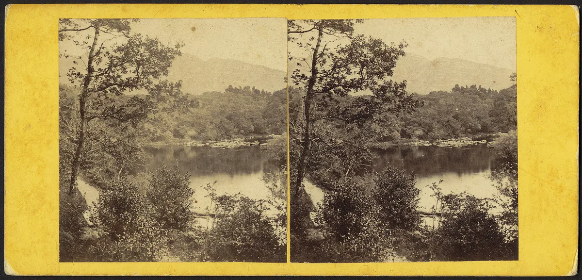
Wear waterproof walking shoes or boots, because boards and steps get slick. Carry water, food, a rain layer and an offline map, since phone signal can drop. Start early enough to finish in daylight. Skip the summit in low visibility or strong wind. Young children and walkers in trainers are better served by the waterfall alone, the lakeshore paths or Ladies View, Killarney: How to Visit, Parking & Best Time. Park trail notices are listed by the National Parks and Wildlife Service.
Cost, Parking and Opening Hours
The trail itself is open hillside walking, and the route needs no ticket. Parking charges, shuttle fares and jaunting car prices are set by their operators and change by season. Check current rates with each operator. Tours and tickets are only needed for add-ons, such as guided park tours.
Where to Stay and What to Pair With the Walk
Killarney town is the easiest base, and you can compare in-park options in our Killarney National Park hotel guide. Pair the climb with Torc Waterfall at the start and Muckross Abbey on the way back. Rest your legs afterward with ideas from things to do in the park. Muckross House, visible from the summit, has its own visitor information on the Muckross House site.
Using the Longer Torc Mountain Route Figures
The 18.9 km route recorded in 2018 is useful as a picture of a full Killarney walking day. It should not be used as the expected distance for every Torc Mountain ascent. That outing started near Torc Waterfall, continued to the summit, and then followed lakeshore paths via Muckross Abbey toward Killarney town.
The GPS log recorded 698 m of ascent and a moving time of 4 h 07 min. Those figures include the extended return, rather than only the mountain climb from the waterfall. They also reflect one walker’s pace, conditions and route choices.
If you use the longer option, arrange your transport before starting. It works best for walkers who want Torc Waterfall, Muckross Lake and Muckross Abbey in one outing. If you need to return to the Torc Waterfall car park or bus stop, turn back from the summit instead of assuming the town-bound route is a loop.
Notes for your next park visit
Optional updates to our national park guides.
Read next
Keep planning
Picked from the same area