
Popradské Pleso Hike: How to Get There, Time and Tips
Plan a trip to Popradské pleso in the High Tatras: how to get there, hike time, season, parking, hut stop and onward trails to Rysy.
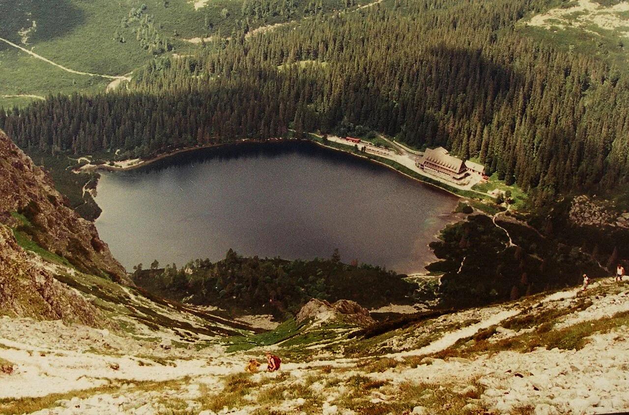
Last updated November 2026: popradske pleso, written Popradské pleso in Slovak, is a glacial lake at about 1,494 m (4,902 ft) in the High Tatras. It sits on the Tatranská magistrála trail in the High Tatras region and is the trailhead for Rysy and Kôprovský štít. This guide covers how to get there, hike time, season, the hut stop and what to pack.
Featured image: Ing.Mgr.Jozef Kotulič, CC BY-SA 4.0, via Wikimedia Commons.
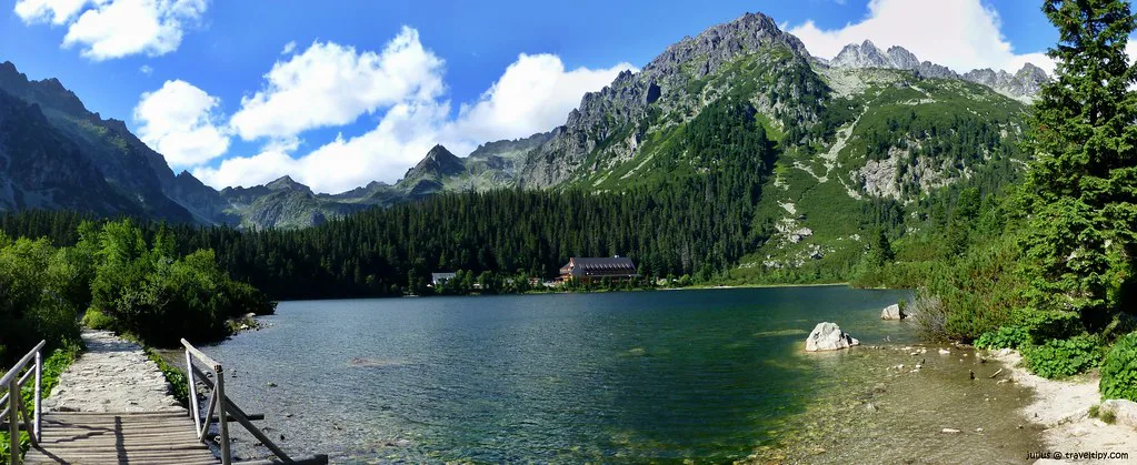
Popradské Pleso at a Glance
Popradské pleso is a moraine-dammed lake of glacial origin that was once called Rybie pleso. It lies right on the Tatranská magistrála hiking path. Few lakes in the range are visited more often. Most people treat it as an easy half-day walk, and others use it as the first stage of a long mountain day.
- Location: High Tatras, Slovakia, on the Tatranská magistrála
- Elevation: about 1,494 m (4,902 ft)
- Type: glacial, moraine-dammed mountain lake
- Nearest hub: Štrbské Pleso, with the electric railway halt also nearby
- Best for: families, beginners, half-day hikers and Rysy-bound walkers
- Difficulty: easy by hiking-route ratings, with loose rock in places
How to Get to Popradské Pleso
Most hikers walk from Štrbské Pleso. Route listings put that out-and-back hike at roughly 9.6 km in total. Allow 2.5 to 3.5 hours for the round trip. Reviewers who walked briskly report finishing in about 2 hours. A rail halt and a car park at the lake offer shorter alternatives. Check current timetables and parking rules before you commit, because these details change. For rail, see the Slovak rail operator. The table compares the realistic options.
| Start point | Approx. time | Effort | Best for |
|---|---|---|---|
| Walk from Štrbské Pleso (red trail) | 2.5–3.5 h return (listed times) | Easy, with a short steep ridge | Scenery, families who like walking |
| Electric railway halt near the lake | Shortest walk-in, timetable-dependent | Lowest | Rail travellers without a car |
| Drive to the Popradské Pleso car park | Shortest walk-in, subject to parking rules | Lowest, but parking is tight at weekends | Short visits, mixed-ability groups |
Hiking to Popradské Pleso: Route, Time and Difficulty
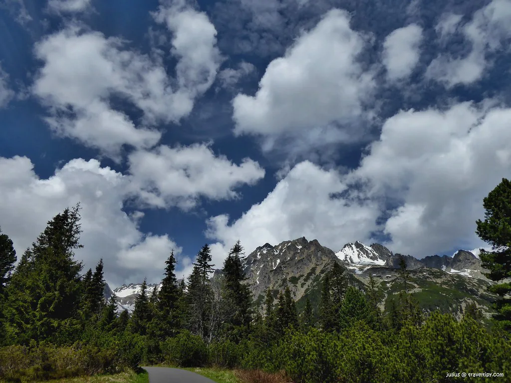
From the Štrbské Pleso trailhead, follow the red trail signed for Popradské pleso. The path climbs gently beside a pine forest with views of the ski complex. After roughly 1 km you enter shaded forest. At the next junction, keep to the red trail on the left. A steep but safe ridge follows, with large boulders and views of the Ostrva peaks. Soon the path turns into loose fallen rock, so watch your footing. After a small wooden bridge over a stream, you reach a crossroad. Head downhill to the lake. The branch that continues left leads on toward Rysy. Total ascent is about 335 m by GPS measurement, which suits most walkers with ordinary fitness. For a different return, some hikers take the blue trail to the electric railway halt. That swaps backtracking for a train ride. Check that route and the train times before you rely on it.
What to Do at the Lake
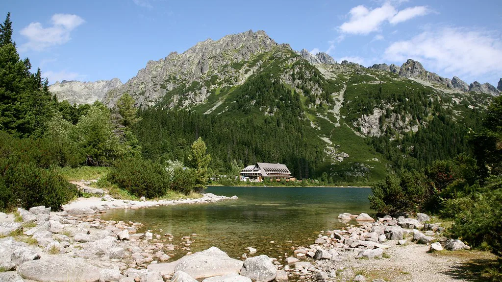
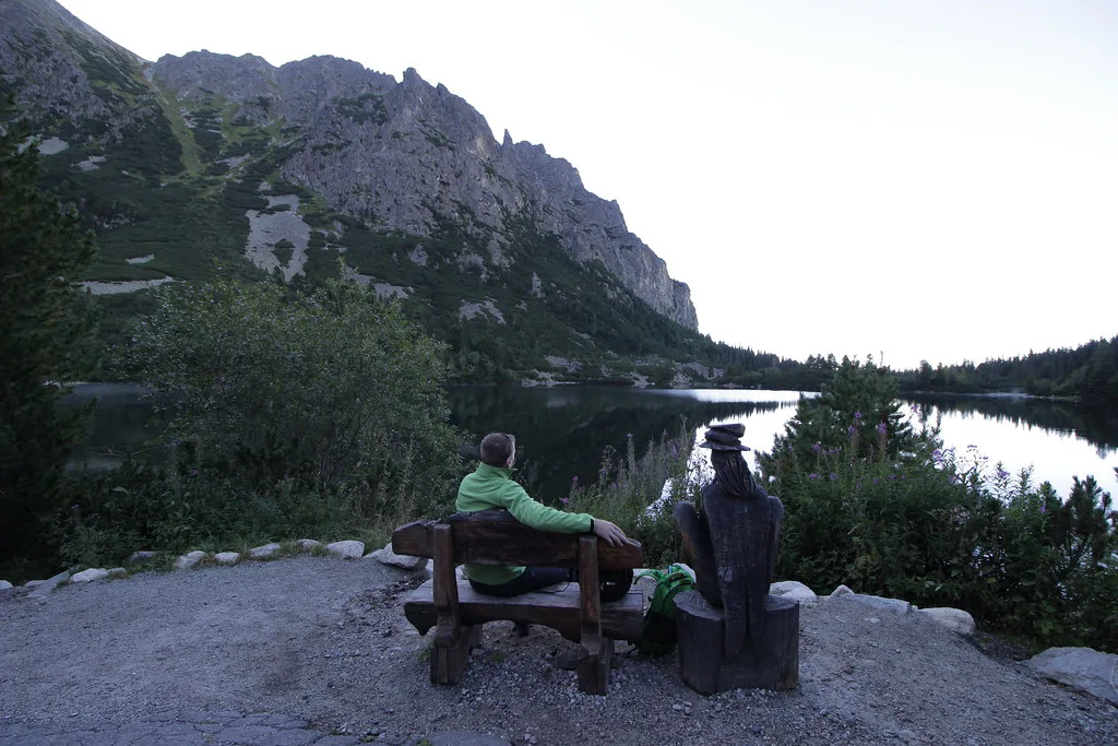
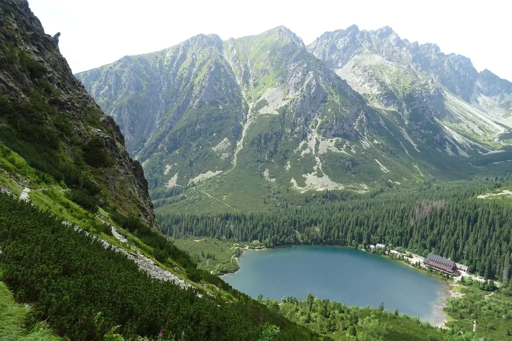
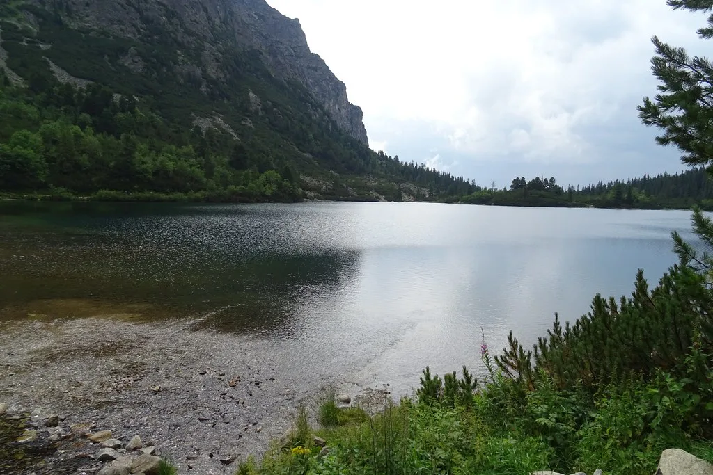
Walk the shoreline first. Views of the Solisko ridge and the Ostrva peaks open up from the far side, and the return leg shows angles you missed on arrival. A mountain hut stands beside the water. Route listings mention garlic soup, ice cream and beer, so a lunch stop is realistic. Near the lake you will also find the Symbolic Cemetery. It commemorates people who died in the High Tatras, and visitors should keep voices low and stay on the paths there. Most visitors spend 30 to 60 minutes at the lake before turning back.
Best Time to Visit and Seasonal Access
Route listings give a hiking window of 15 June to 31 October. Treat those dates as approximate. Higher High Tatras trails have closed seasons, and snow, ice and storms can change conditions on any given day. Midweek mornings are quieter than sunny weekends, when the trail gets very busy. Start early to beat both the crowds and the afternoon weather. Winter and shoulder-season access depends on snow and park rules, so read the notices from the Tatra National Park authority before you set out.
Costs, Parking and Practicalities
Parking fees, rail fares and hut prices are not confirmed here. Check the park authority and the operator's site for current figures.
- Bring cash for the hut, because mountain huts are said not to accept cards.
- Arrive early if you drive, since spaces fill quickly on sunny weekends.
- Have a back-up plan, such as parking in Štrbské Pleso and walking in.
Onward Hikes from Popradské Pleso
Popradské pleso is the base for longer climbs, including Rysy and Kôprovský štít. Those routes are serious mountain days. They need proper footwear, a weather check and the fitness for several extra hours. Do not attempt them on a whim from the lake. First-timers should treat the lake as the goal, then plan a second day for higher ground. Our High Tatras overview maps other routes by difficulty.
Where to Stay and Base Yourself
Štrbské Pleso puts you closest to the trailhead. Starý Smokovec is a larger base with more lodging and services. Tatranská Lomnica suits visitors who want to reach other trails and lifts. To compare beds before you decide, see hotels across the High Tatras. Book early for summer weekends.
Safety, Weather and What to Pack
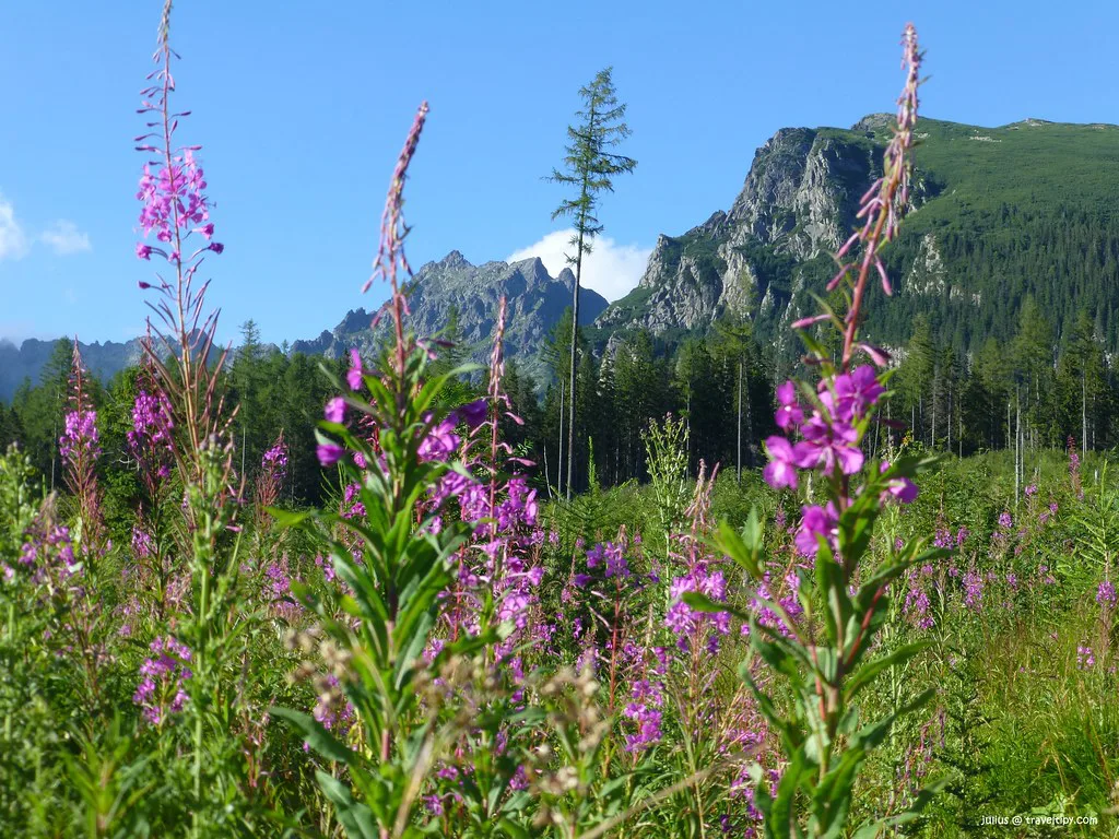
Mountain weather changes fast, and the lake sits at about 1,494 m. Loose rocks on the red trail catch careless feet. Bears live in the forests here, so stay on the marked path and keep noise up. National park rules in Slovakia apply throughout. Check the forecast and trail notices before you leave.
- Sturdy shoes with good grip for loose rock
- A waterproof layer and a warm layer, even in summer
- Water, snacks and cash for the hut
- A charged phone and an offline map
- Turn-back rule: leave if storms are forecast, cloud drops onto the trail, or the group is tiring
Is It Worth It on a Short Itinerary?
Yes, for most visitors. A half-day plan of about 2 to 4 hours covers the walk, a hut stop and the lakeside loop. A full day can add a longer trail if the weather holds. Skip it if you expect a lake with no walking, have no weather flexibility, or want solitude at peak weekends. On a poor-weather day, ride to the Skalnaté Pleso lake or take an easier route to Hrebienok by funicular. For a different hiking style, consider Slovak Paradise Travel Guide: Gorges, Hikes and Planning.
A round trip from Štrbské Pleso takes 2.5 to 3.5 hours, so a half-day plan has little slack for the hut stop.
Notes for your next park visit
Optional updates to our national park guides.
Read next

Keep planning
Picked from the same area