
Skalnaté Pleso Guide: Cable Car, Hikes & Tips
Plan Skalnaté pleso in the High Tatras: cable car vs hike, what to see, season tips, tickets to check and nearby hikes.
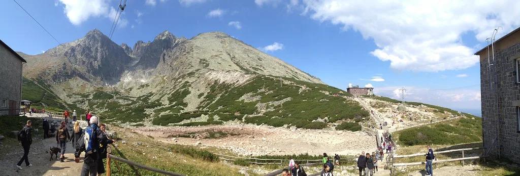
Last updated November 2026. Skalnaté pleso is a small glacial tarn and a high mountain stop above Tatranská Lomnica in the 8 Best Things to Do in the High Tatras, Slovakia of Slovakia. Most visitors who search for skalnate pleso arrive by cable car from Tatranská Lomnica, and fit walkers climb for about 2 hours. It suits anyone who wants alpine views, trail junctions and a mountain hut without a full summit day.
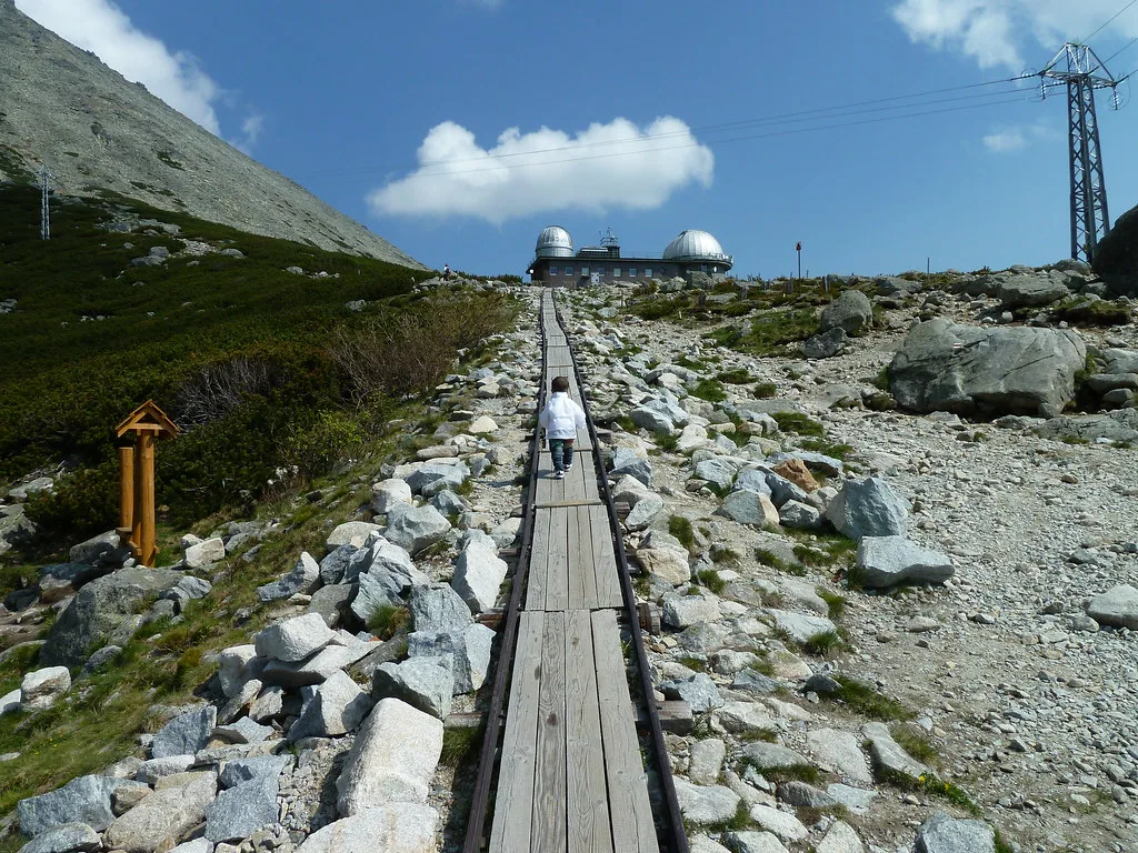
Featured image: diffside, CC BY-SA 2.0, via Flickr.
Skalnaté Pleso at a Glance
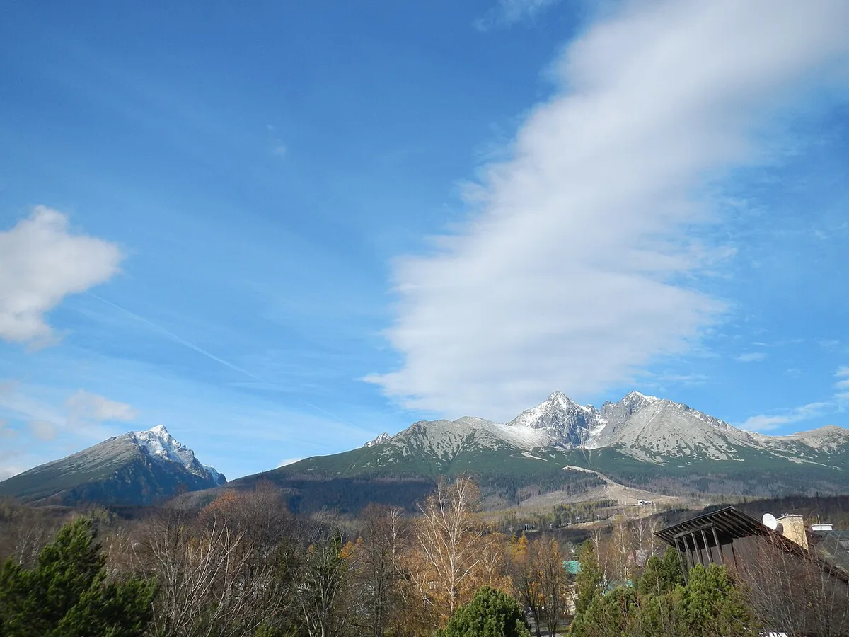
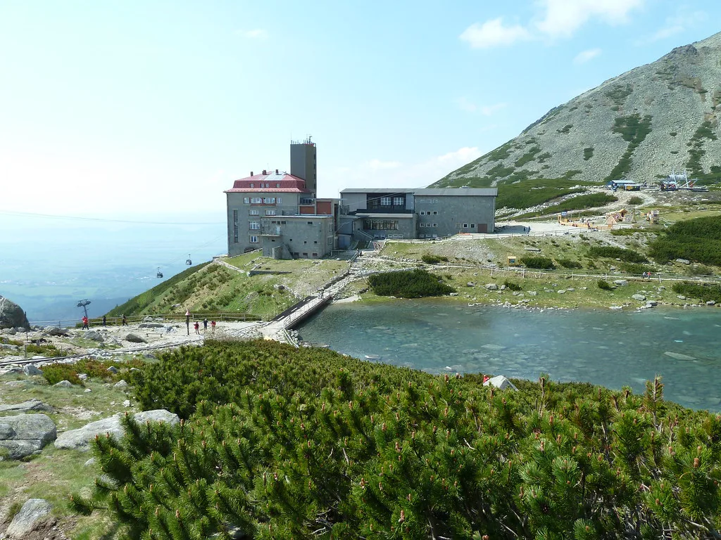
Skalnaté pleso sits at about 1,750 m in Skalnatá dolina. It is the highest settlement in the High Tatras, built around a tarn, a mountain hut, an observatory and a cable-car station. Treat it as a high-altitude hub with views, not a lake destination.
- Elevation: about 1,750 m, with sources quoting 1,751 m or 1,754 m.
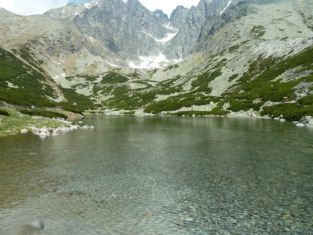
- Tarn size: roughly 1.2 ha, a glacial pond dammed by a moraine that can dry out in summer.
- Best-known access: cable car from Tatranská Lomnica, which continues to Lomnický štít at 2,634 m.
- Walking access: a marked climb from Tatranská Lomnica of about 2 hours.
- Best for: views, trail junctions, a hut stop and onward hikes.
- Typical stay: 2 to 3 hours for a simple ride-and-walk visit.
How to Get to Skalnaté Pleso: Cable Car vs Hiking
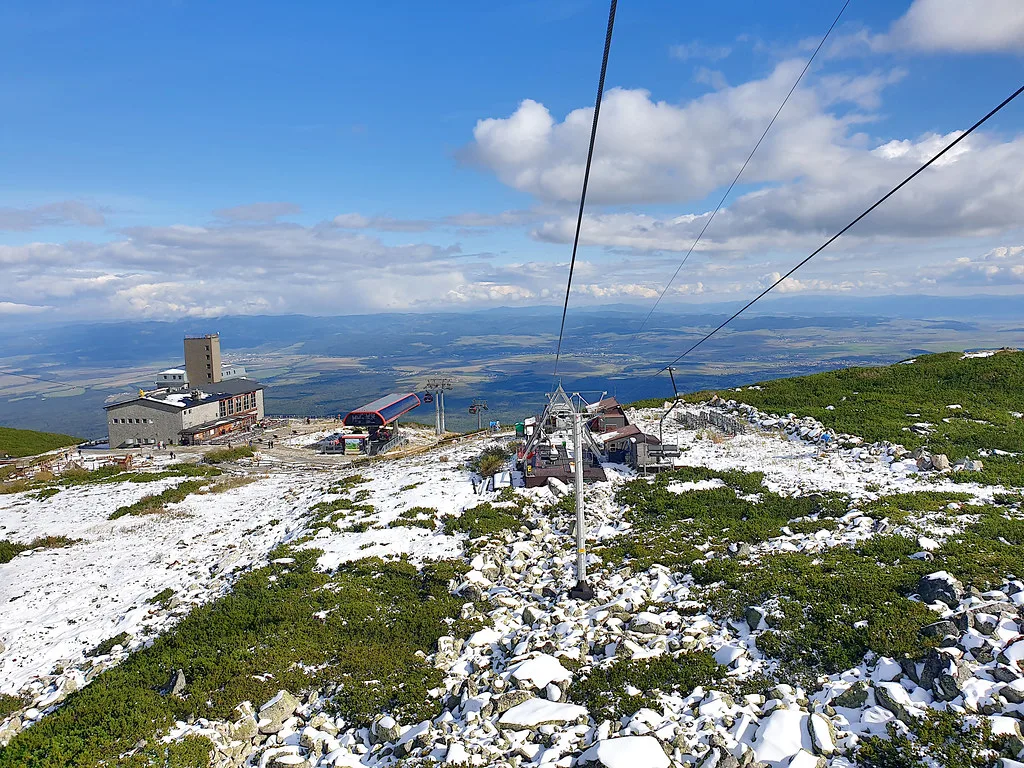
Your base is Tatranská Lomnica, where the lower cable-car station stands. A cabin lift runs from there to Skalnaté pleso and on to Lomnický štít. The marked walk up takes about 2 hours, so a ride up and a walk down is a common compromise. Prices and hours were checked November 2026 against the operator's published structure, but fares change, so read the current tariff on the operator's site before you buy.
| Option | Time | Effort | Weather exposure | Best for |
|---|---|---|---|---|
| Cable car up and down | Short ride each way | Low | Needs a running lift and clear tops | Short stays, families, limited mobility |
| Hike up, ride down | About 2 hours up | High on the climb | Exposed on the ascent | Fit walkers who want the climb |
| Ride up, hike down | About 2 hours down | Moderate, hard on knees | Exposed on the descent | Walkers who prefer climbing by lift |
What to Do at Skalnaté Pleso
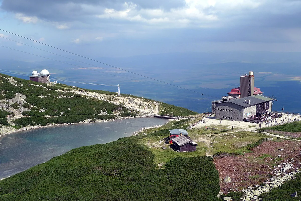
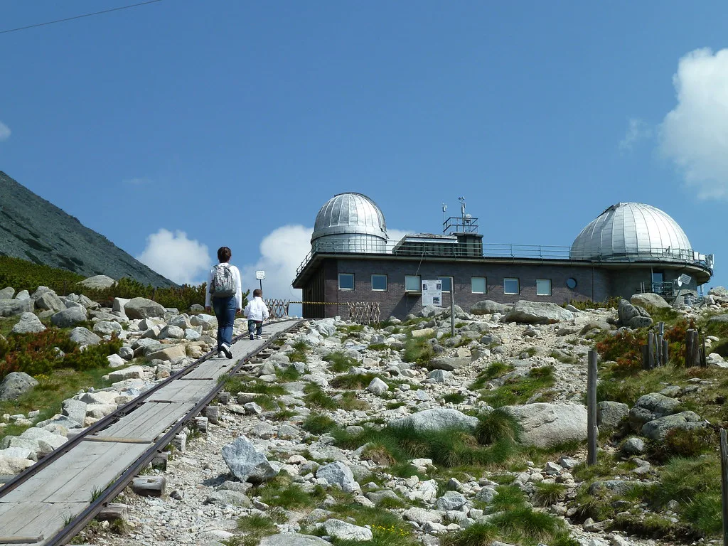
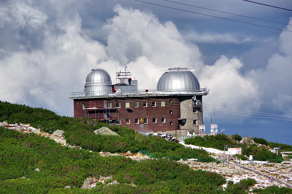
Start with the tarn, but keep expectations modest. It covers only about 1.2 ha and sometimes dries out in summer. The setting does the work, with Skalnatá dolina and the Lomnický štít group above you. Skalnatá chata stands at the entrance to the valley and is described as open year-round. An astronomical observatory dominates the settlement, and it is run by the Astronomical Institute of the Slovak Academy of Sciences. It is a working research site, so look up its visitor arrangements before planning a visit. The cable car also continues to Lomnický štít at 2,634 m, which is a separate leg with its own ticket rules.
Hikes and Routes from Skalnaté Pleso

Skalnaté pleso is a junction on the Tatranská magistrála, between Hrebienok and Zelené pleso. Walkers use it to link several routes. Trail times vary with season and conditions, so read the posted signs at the junction.
- Veľká Svišťovka: a half-day out-and-back that climbs toward Sedlo pod Svišťovkou.
- Hrebienok: the walk passes Lomnická vyhliadka and Obrovský vodopád, ending at Hrebienok.
- Zelené pleso: a link along the magistrála for walkers continuing east.
- Malá Svišťovka: the summit itself is not open to tourists, though the saddle below is.
Tickets, Hours and Seasons
The cable car runs on the operator's seasonal timetable, and Lomnický štít tickets can be timed or limited. Check the live status and webcams before you pay. Summer and early autumn are the main hiking months. Winter brings skiing, since the area has some of the best alpine terrain in the High Tatras, including the giant slalom run for the Slovak Grand Prix. High trails commonly close from mid-November to mid-June, so read the closure dates on the Tatra National Park site. As this guide goes live in late November, expect closed upper trails now.
How Much Time to Plan
Match your stay to the weather and your energy. These options cover most itineraries.
Walking up takes about 2 hours, so the 2 to 3 hour plan assumes you ride up. Hiking up would need more time.
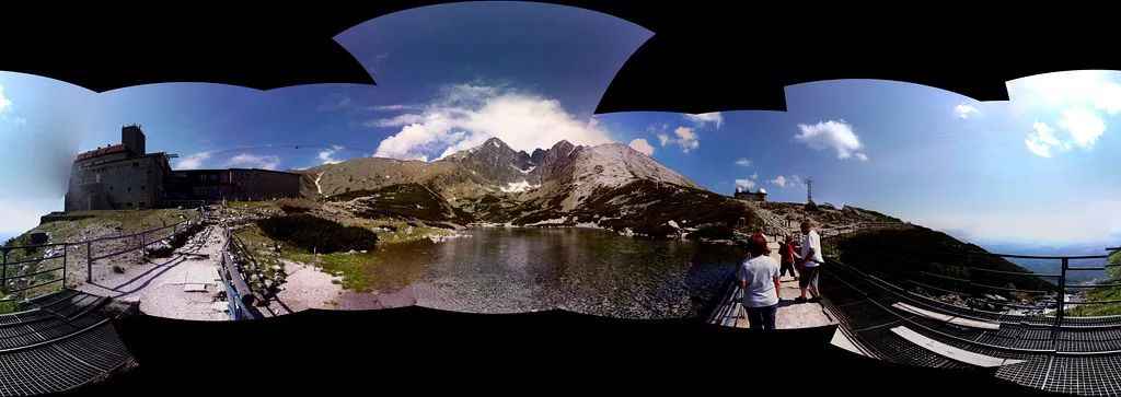
- 2 to 3 hours: ride up, walk around the tarn, have a snack at the hut and ride down.
- Half day: add a short hike toward Veľká Svišťovka or along the first part of the magistrála.
- Full day: walk across to Hrebienok via Lomnická vyhliadka and Obrovský vodopád, then descend.
Who Should Skip It (and Mistakes to Avoid)
Skip Skalnaté pleso if cloud sits on the tops, since the views are the main reward. Visitors with a fear of heights may dislike the cabin lift. Travellers on a tight budget or schedule can choose a lower walk instead. Late-afternoon last descents catch people out, so note the final departure time at the upper station. Wear proper hiking footwear for any walk, and expect queues in peak season.
Where to Stay and Getting Around
For an early lift ride, stay in Tatranská Lomnica itself. Starý Smokovec is a good second base and gives access to Hrebienok. Compare rooms in our High Tatras hotel guide. Rail and bus links run from Poprad, and the Tatra rail line is listed on the ZSSK site. Look up the current timetable there.
Combine It With Nearby Stops
Skalnaté pleso sits in a different valley from the western lakes, so allow a transfer. Štrbské Pleso offers easier lake access and a larger shoreline. Popradské pleso suits walkers who want a trail to a bigger tarn. For wider planning, see how the range fits among Slovakia's national parks. Hrebienok is the easiest pairing, since the magistrála joins the two.
Notes for your next park visit
Optional updates to our national park guides.
Read next
Keep planning
Picked from the same area