
Slovak Paradise Travel Guide: Gorges, Hikes and Planning
Plan Slovak Paradise: the best gorges, hike times, when to go, how to get there without a car, and where to stay near the trailheads.
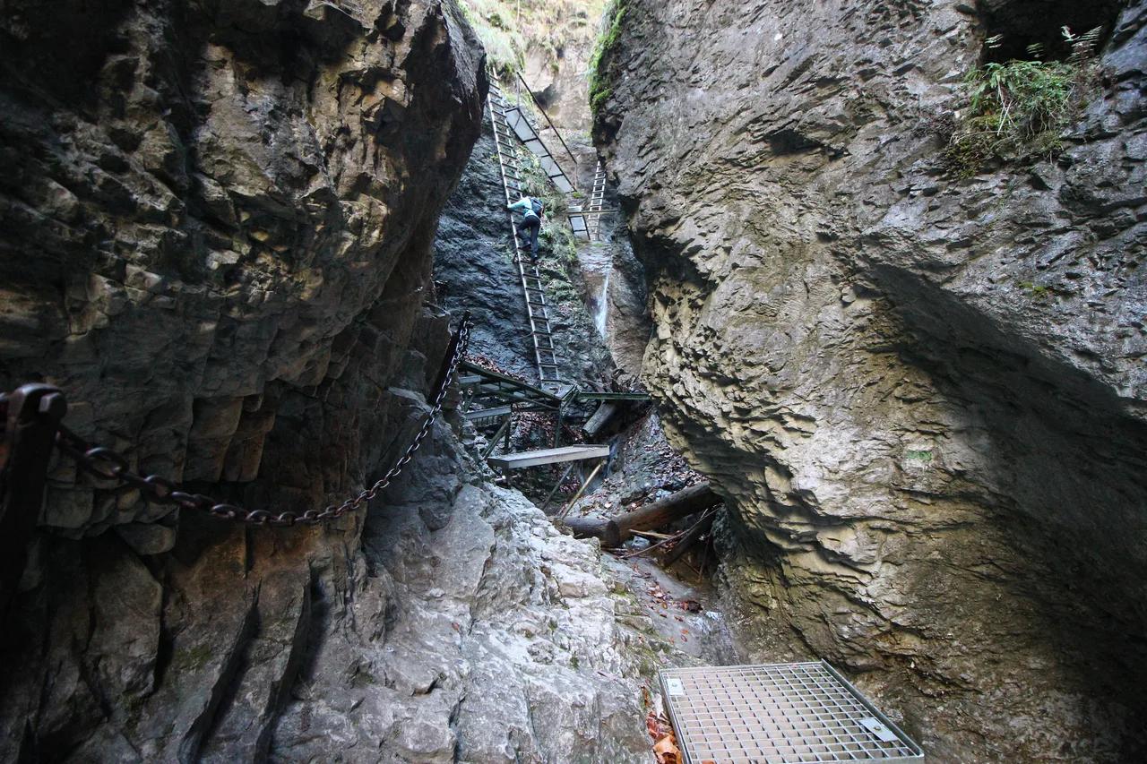
Last updated November 2026: Slovak Paradise (Slovenský raj National Park) is a gorge-and-ladder hiking park in eastern Slovakia, best known for Suchá Belá. It suits active walkers who are happy to climb wet metal rungs, and it is a poor fit for anyone avoiding heights. Our guide to Slovakia's national parks shows where this mid-altitude, water-based park sits next to the alpine ones.
Featured image: Govisity / Tip na Trip / kosice.guide, CC BY 2.0, via Flickr.
Slovak Paradise at a glance
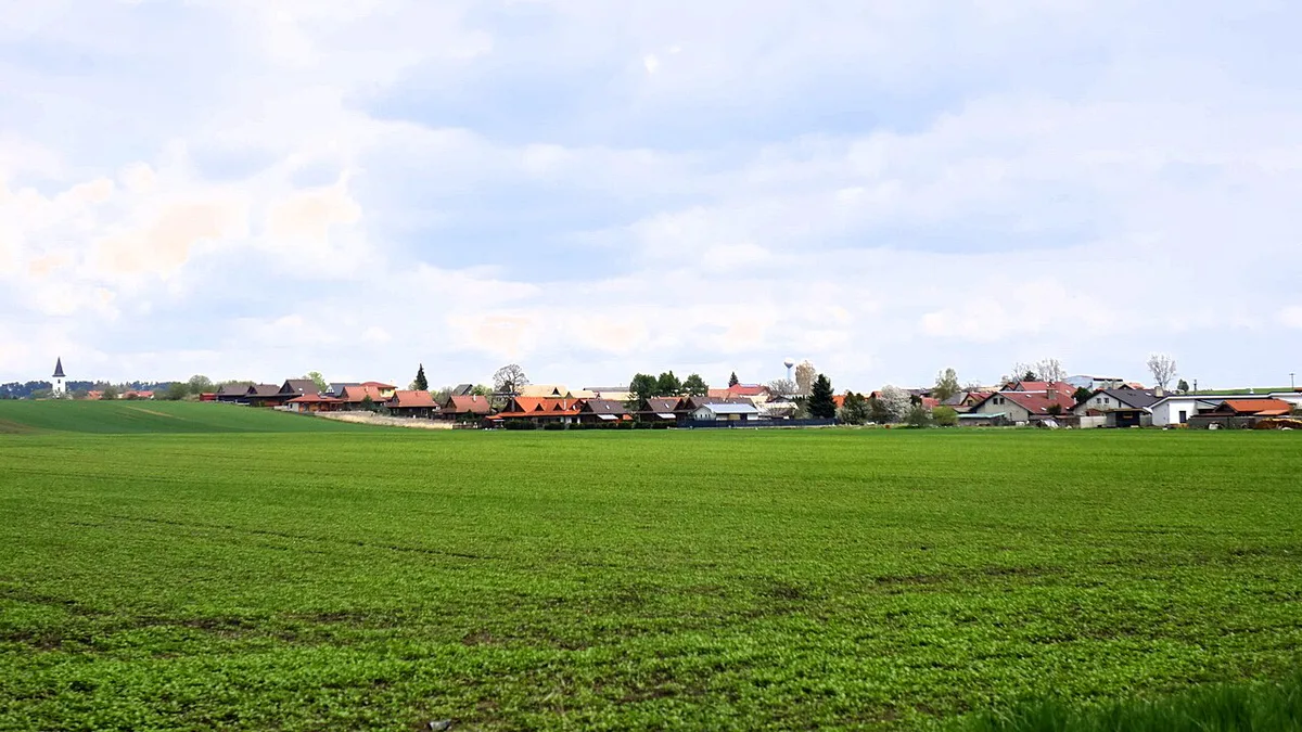
Slovak Paradise covers about 76 square miles (198 km²) of karst plateau, forest and river canyon. Elevation runs from 1,529 ft (466 m), where the Hornád leaves the park, to 3,796 ft (1,157 m) at its highest peak. More than 90% of the park is forested. Trails use ladders, chains and footbridges rather than alpine scrambling. Skip the gorges if heights or wet metal rungs worry you, and walk to Tomášovský výhľad instead.
| Fact | Detail |
|---|---|
| Location | Eastern Slovakia, around Hrabušice, Čingov and Spišské Podhradie |
| Character | Mid-altitude gorges, waterfalls, ladders and karst plateaus |
| Trail network | About 186 miles (300 km) of marked trails |
| Park status | National park since 1988 |
| Best months | Autumn for colour and fewer queues; July and August are the peak season |
| Time needed | Half a day for one gorge; two days for a loop plus a viewpoint |
Best gorges and hikes in Slovak Paradise
Suchá Belá is the park's signature route, climbing about 1,380 ft (420 m) over 2.3 miles (3.7 km). Allow 2 to 3.5 hours, because trail guides quote different times. Other gorges are shorter, and each has its own catch.
| Route | Length | Time | Level | Start | The catch |
|---|---|---|---|---|---|
| Suchá Belá | 2.3 mi (3.7 km) | 2–3.5 h | Ladders, chains, waterfalls | Podlesok | One-way upstream; queues build later in the day |
| Malý Kyseľ | 1.4 mi (2.2 km) | About 1 h | Many ladders and footbridges | See park map | Short but steep |
| Veľký Sokol | 3.4 mi (5.5 km) | About 2.5 h | Longest gorge | See park map | Longest commitment |
| Piecky | 2.1 mi (3.3 km) | See park map | Quieter gorge | See park map | Fewer people, same wet rungs |
| Kláštorská roklina | 0.7 mi (1.2 km) | About 2 h from Podlesok | One-way, technically aided | Podlesok or Čingov | Leads to monastery ruins at Kláštorisko |
| Zejmarská roklina | 0.6 mi (1 km) | 45–60 min | Short, chains and waterfalls | Biele Vody | Chairlift back to Dedinky runs only sporadically |
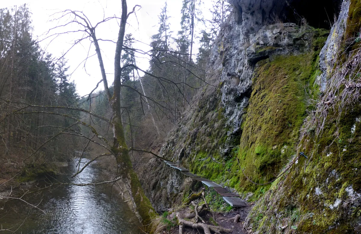
| Hornád gorge walk | About 9 mi (15 km) | About 4 h | Narrow ledges, footbridges | Podlesok or Čingov | You finish at the opposite end from where you started |
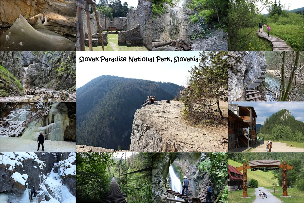
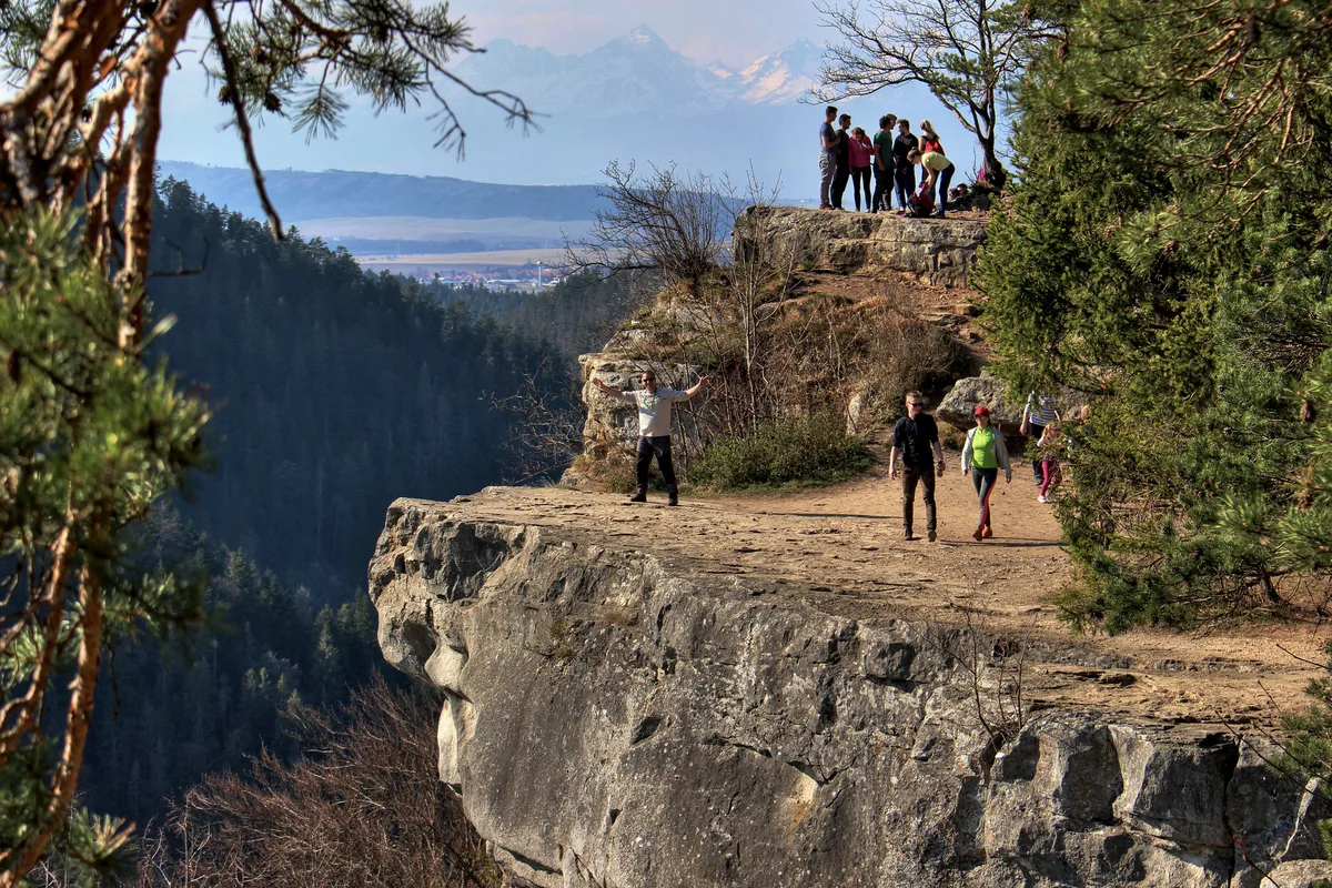
| Tomášovský výhľad | About 1 h up | Easy | Green trail | Čingov | No ladders, so it is the easy option |
- First-timers: Suchá Belá, starting at 8 or 9 am.
- Families: Tomášovský výhľad from Čingov, or Zejmarská roklina only if every child is comfortable on ladders.
- Fit hikers: the Hornád Prielom–Suchá Belá loop, about 10.3 miles (16.5 km) with 2,451 ft (747 m) of climbing.
- Wet-weather days: the viewpoint walk or the Dobšinská Ice Cave, since gorge rungs turn slick.
How to plan your time
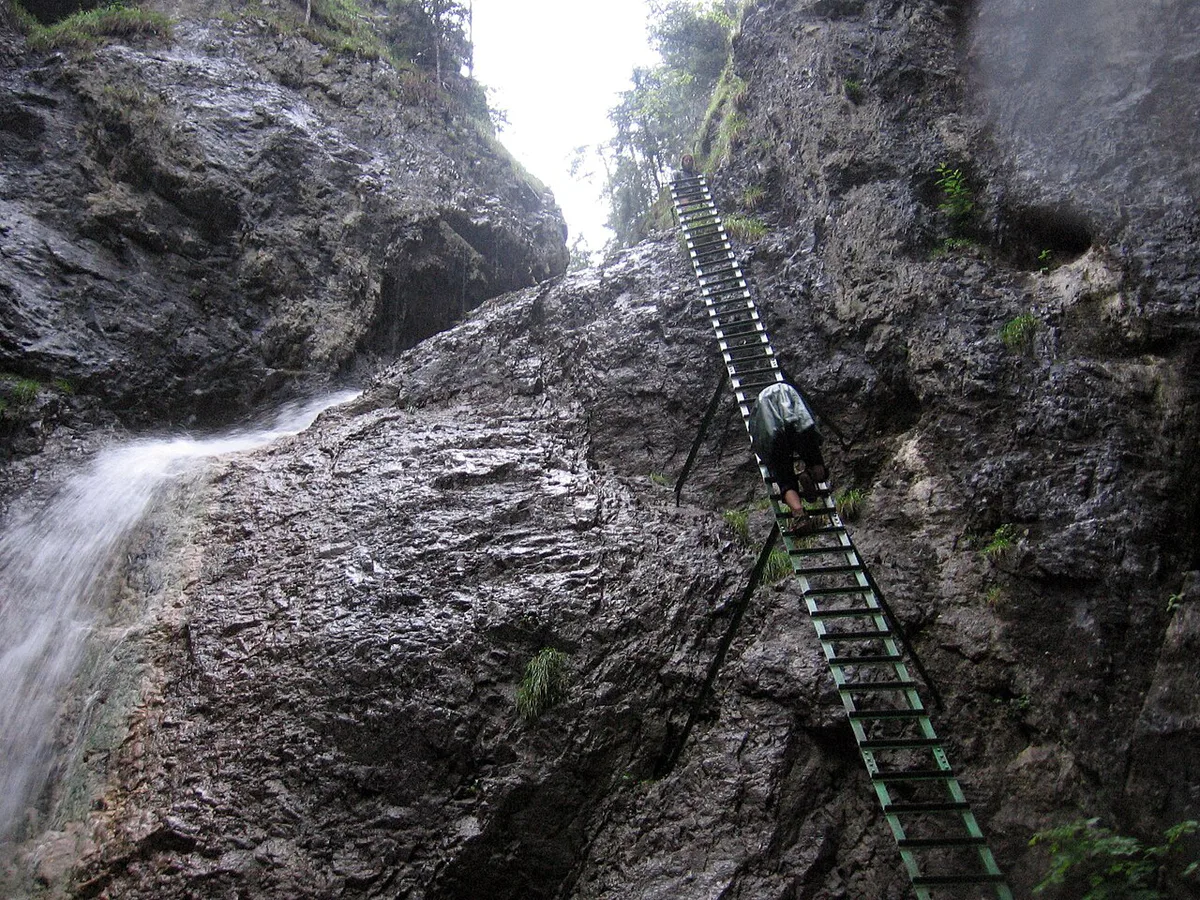
Suchá Belá runs one way, always upstream. You cannot turn back once you commit, so check the sky before you enter. Starting at 8 or 9 am avoids the ladder queues that form later in high summer. A one-way gorge also forces you to plan the return, so decide your route back to Podlesok first.
Peak months make the 8 or 9 am start matter most, since Suchá Belá is one-way and you cannot turn back once you commit.
- Half day: Suchá Belá only, then return on foot or by the Hornád path.
- One day: climb Suchá Belá, follow the yellow then red trail to Kláštorisko Chata, take the blue trail down to the Hornád, then walk the river gorge upstream to Podlesok.
- Two days: spend day one on the loop above. Spend day two walking from Čingov to Tomášovský výhľad, then drive to Dedinky for Zejmarská roklina.
Costs, tickets and opening hours
Entry fees, trail charges and cave ticket prices are not confirmed in our research. Check the Slovenský raj National Park official site for fees and seasonal trail closures, and the cave operator for tour hours.
Where to stay and how to get around
Pick a base by the trailhead you want first. Podlesok and Čingov sit at opposite ends of the Hornád gorge, so each suits a different day. Public transport reaches Spišská Nová Ves and Poprad; check the ZSSK rail timetable for trains, and local bus timetables for the last service back from the villages.
| Base | Trailheads it serves | Suits |
|---|---|---|
| Podlesok | Suchá Belá, Kláštorská roklina, Hornád gorge | First-timers who want the headline gorge |
| Čingov | Tomášovský výhľad, Hornád gorge, Kláštorská roklina | Families and easy-walk days |
| Dedinky | Biele Vody, 15 minutes northeast on the red trail, for Zejmarská roklina | Short technical hikes |
| Stratená | Palcmanská Maša reservoir and Stratenský canyon | Quieter, less technical walks |
| Hrabušice | Access to the park's eastern villages | Drivers who want flexibility |
| Spišské Podhradie | Spiš Castle area | Sightseeing days beside hiking |
How to reach Slovak Paradise
Bratislava to the park is about 196 miles (315 km), roughly 3 hours 45 minutes by car. A car links villages like Hrabušice, Dedinky and Čingov without waiting for buses. Without one, go by train to Poprad or Spišská Nová Ves and continue by local bus.
- Car: flexible, essential for Dedinky and Stratená, and useful in autumn when daylight is short.
- Train and bus: cheaper and car-free, but one-way gorges need a planned return.
- Mixed: take the train to Spišská Nová Ves and hire a car for the villages.
When to go
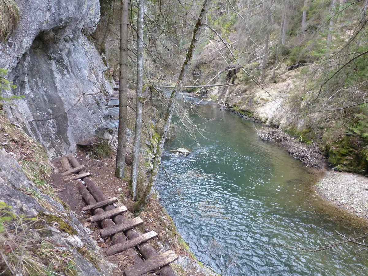
July and August are the high season, and ladder queues build in the afternoons. Autumn brings golden forest and fewer crowds. Trails run on wet rock, so spring melt means higher water.
| Season | What to expect |
|---|---|
| Spring | Melt and high water; rungs and footbridges stay wet |
| July–August | Peak crowds; start at 8 or 9 am |
| Autumn | Forest colour, quieter paths, shorter days |
| Winter | Gorge trails may close seasonally; see the State Nature Conservancy for current status |
Beyond the gorges
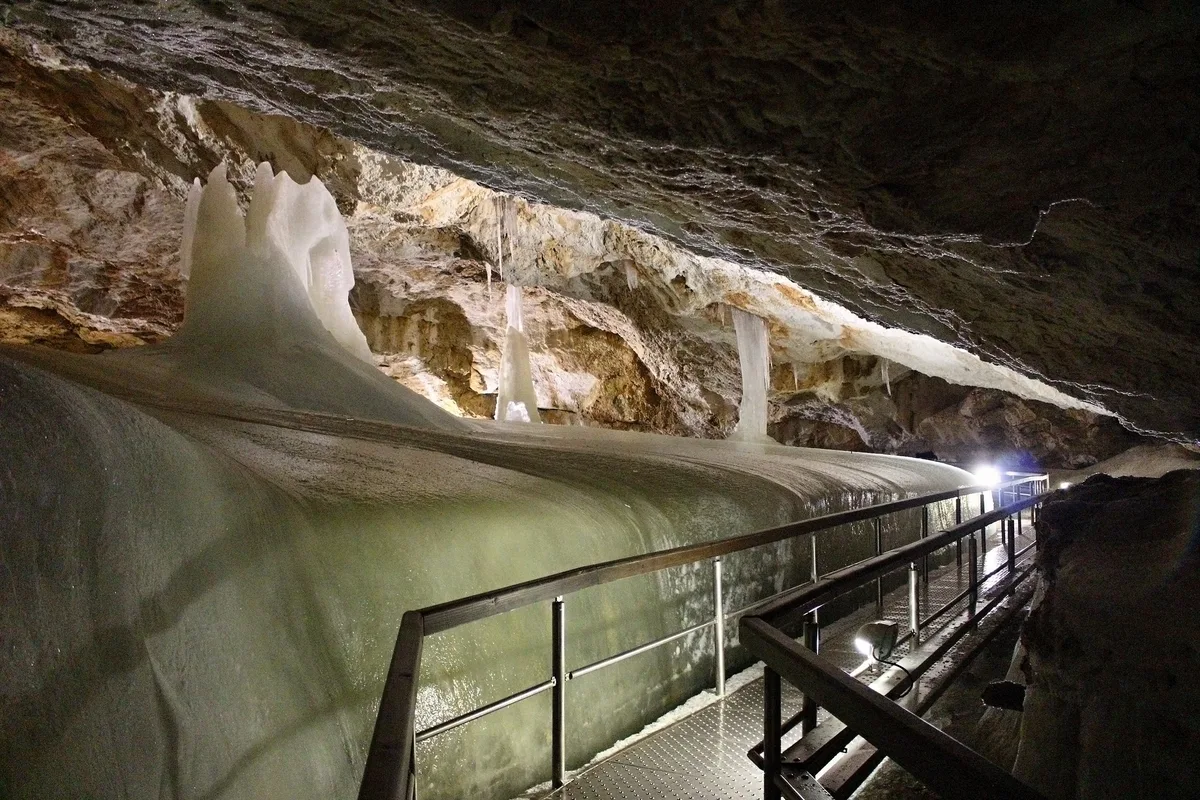
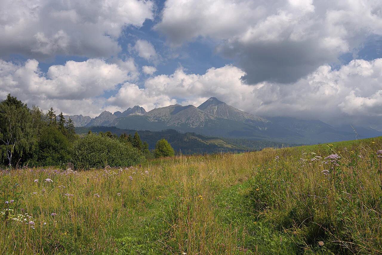
Dobšinská Ice Cave sits on the park's south-eastern edge. Its ice halls stay frozen all year, and it has been on the UNESCO World Heritage list since 2000. It suits rainy days and visitors who dislike ladders. Spiš Castle and Levoča suit travellers who prefer history to hiking. Tomášovský výhľad gives panoramic views, with the High Tatras visible on clear days.
Slovak Paradise or the High Tatras
Slovak Paradise is technical and water-based, with gorges below 3,800 ft. The 8 Best Things to Do in the High Tatras, Slovakia are high alpine, with lakes, cable cars and ridge walks. For a combined trip, base in the Tatras and see our High Tatras hotel options. The Low Tatras National Park: Hikes, Chopok & Planning Guide is the gentler alternative if neither sounds right.
Mistakes to avoid
Most problems come from timing and footwear. Smooth-soled trainers are a poor match for wet metal rungs.
- Starting Suchá Belá after midday, when the ladders are busiest.
- Wearing shoes with little grip.
- Treating a one-way gorge as an out-and-back walk.
- Relying on the Zejmarská chairlift, which works only sporadically.
- Leaving no time to reach the last bus back.
Who the Gorges Suit—and What to Wear
Slovak Paradise works best for active walkers who can climb ladders and chains without panic. Suchá Belá climbs about 420 m over 3.7 km, so it is not a casual stroll despite its popularity. Wet metal rungs, narrow footbridges and small waterfalls make confident footing more important than speed.
Wear walking shoes or boots with deep tread. Smooth-soled trainers are a poor choice on wet rock and ladders. Carry water, a light waterproof layer and a dry spare layer for cooler gorge sections. Keep both hands free for ladders by using a small backpack.
For a shorter introduction, Zejmarská roklina is about 1 km and usually takes 45–60 minutes. It still has chains and waterfalls, so choose it only when every member of the group is comfortable with assisted climbing. Tomášovský výhľad is the better fallback for visitors avoiding ladders or travelling with less-confident children.
Frequently Asked Questions
Does Slovakia have mountains?
Yes. The High Tatras are the highest, and the Low Tatras form another range. Slovak Paradise is lower, with ridges mostly between 2,600 and 3,300 ft.
Is there anything worth seeing in Slovakia?
Yes, beyond Bratislava. Slovak Paradise offers gorges, waterfalls and the Dobšinská Ice Cave, while Spiš Castle and Levoča suit history-minded visitors.
Notes for your next park visit
Optional updates to our national park guides.
Read next
Keep planning
Picked from the same area