
National Parks in Switzerland: The One Park, Plus the Alternatives
Switzerland has one true national park. See how to visit it, which trails fit your time, and which regional parks to try instead.
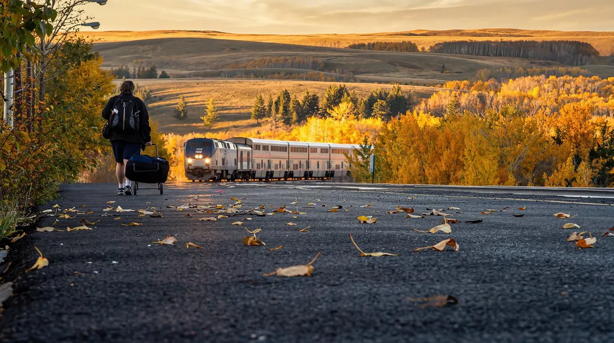
Last updated November 2026: national parks in Switzerland come down to one strict reserve, the Swiss National Park in the Engadine region of Graubünden. Regional nature parks and two UNESCO biosphere reserves fill in the rest of the map, with different rules and more villages. Use our Alpine park overview if you are comparing countries.
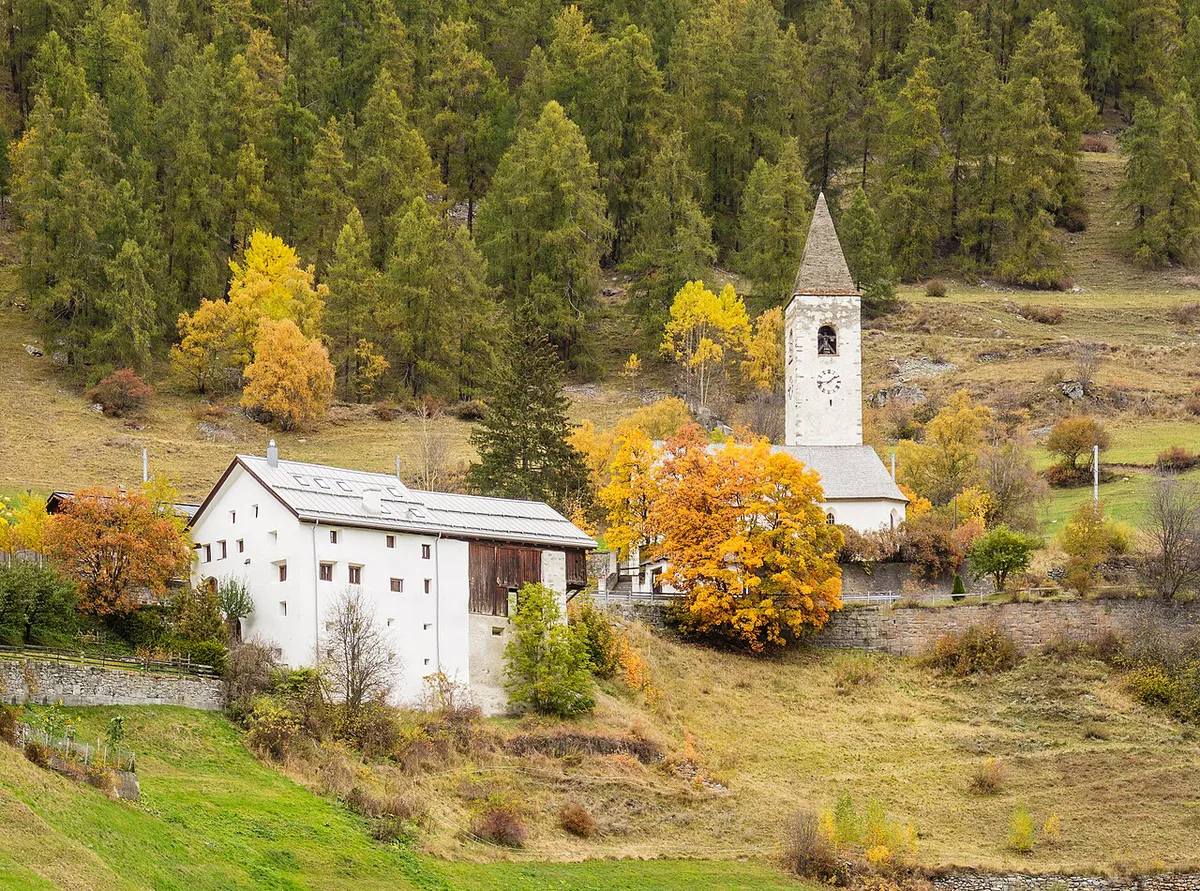
Featured image: Loco Steve, CC BY-SA 4.0, via Flickr.
How many national parks does Switzerland have?
Switzerland has one national park under the strict definition. That is the Swiss National Park Guide: Hikes, Access & Rules (Schweizerischer Nationalpark) in Graubünden. Every other protected area carries a different label, such as regional nature park or biosphere reserve. The Swiss Parks Network lists 20 parks in total, the national park included. Searching for the plural usually means you want one of two things. Either you want the single strict reserve for serious hiking, or you want a gentler park with villages, farms and local food. This guide covers both, starting with the national park.
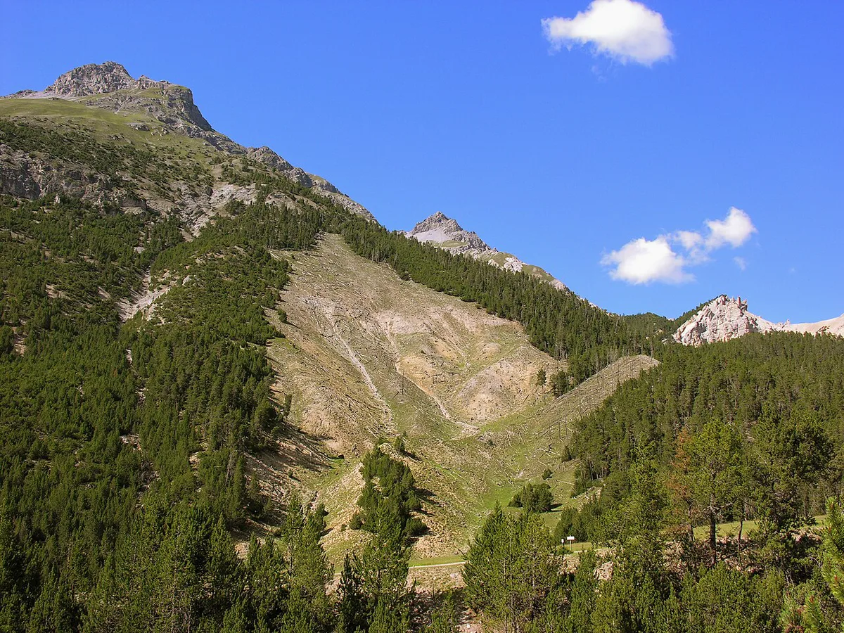
Swiss National Park at a glance
Swiss National Park was founded in 1914 and covers about 170 km² (roughly 66 square miles) of the Engadine. It is a strict nature reserve, so nature develops freely and visitors must stay on marked paths. More than 100 km (60 miles) of marked trails cross it. Most hikers use the road over the Ofenpass (Pass dal Fuorn) as the spine of the park. Trailheads cluster along that road, with trail status and rules on the park's official site updated through the season. Hiking is the main activity, and the park is generally open for walking from June to October.
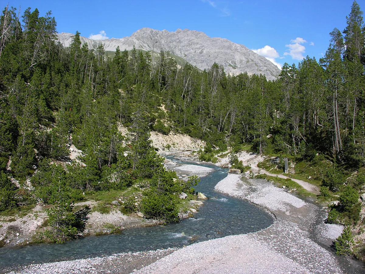
- Region: Engadine, Graubünden
- Founded: 1914
- Area: about 170 km²
- Marked trails: over 100 km
- Walking season: generally June to October
- Base village: Zernez
Best trails by time and effort
Park trails are numbered, and the official list runs from 01 to 21. Skip the long list and pick by how many hours you have. Times and lengths below come from the park's own trail entries. A November 2026 listing marked trails 01, 04, 05 and 21 as closed for the season, and 13, 14, 15 and 17 as open. Snow-free summer is the safest window for the high routes. Trail 15, Munt la Schera, is described by the park as the most enjoyable walk in the park for many people.
| Trail | Time | Distance | Effort | Best for |
|---|---|---|---|---|
| 14 Punt la Drossa to Il Fuorn | 1 h | 2 km (1.2 mi) | Easy | Stream-side stroll between car parks P4 and P6 |
| 05 Val Tantermozza | 1 h 15 | 3 km (1.9 mi) | Easy | Giant trees in spruce-larch-pine forest |
| 13 Champlönch | 2 h | 5 km (3.1 mi) | Easy | Former pass road and children's trail |
| 17 Margunet | 3 h | 8 km (5 mi) | Moderate | Bearded vulture sightings |
| 01 Alp Trupchun | 4 h | 14 km (8.7 mi) | Moderate | Red deer during the rut |
| 15 Munt la Schera | 4 h 45 | 13 km (8.1 mi) | Moderate | Best all-round half-day walk |
| 04 Piz Quattervals | 7 h 30 | 11 km (6.8 mi) | Demanding | Highest peak lying entirely inside the park |
| 21 Lais da Macun | 8 h | 21 km (13 mi) | Demanding | 23 lakes in high crystalline terrain |
Wildlife and the best time to go
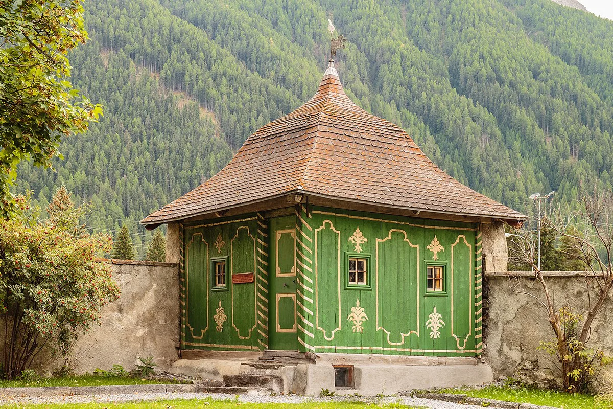
Ibex, chamois, red deer and marmots are the animals you can expect on a summer walk. A marmot colony lives near Alp Stabelchod, a former cattle pasture used for grazing until 1919. Bearded vultures were released in the park between 1991 and 2007, part of an Alps-wide project running since 1986. Golden eagles have been under total protection since 1953, with a wingspan up to 2.2 m (7 ft). Wolves and brown bears are only occasionally reported. The last bear in Switzerland was shot in Val Mingèr in 1904, ten years before the park existed. Timing matters for deer. The rut runs from mid-September to mid-October, and Alp Trupchun is the usual hotspot. Hikers report that animals move lower in the late afternoon or early evening. Trail 18, Fuorcla Val dal Botsch, crosses a 2,676 m (8,780 ft) pass that is normally passable from the end of June to the end of September.
Family-friendly options
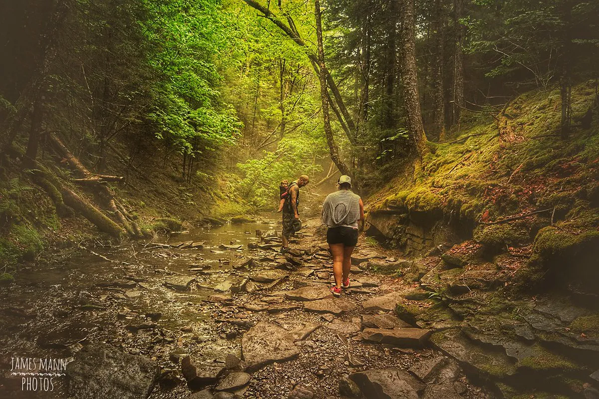
Champlönch children's trail follows 5 km (3.1 miles) of the former pass road in about 2 hours. Children meet 10 figures that tell stories along the way. In S-charl, the bear adventure trail is 1.7 km (1.1 miles) long and takes about 2 hours. Nine posts explain what bears eat, what traces they leave and how to behave in bear country. A separate bear exhibition in S-charl covers historical scenes and bear biology, and it is aimed at children. Trail 14 at 1 hour and 2 km is another short option for small legs.
Staying overnight: Chamanna Cluozza and Zernez bases
Chamanna Cluozza is the only hut inside the park with overnight stays, and it has 61 sleeps. Rooms are simple, either shared rooms or a mattress dormitory. The walk in takes 3 hours 30 minutes over 8.5 km (5.3 miles). Hikers report that the hut is open from mid-June to mid-October. Bring a sleeping bag, and expect no Wi-Fi or mobile reception. Reserve early because summer beds go fast, and do not count on a last-minute place. Camping is not a part of park visits, so most people sleep outside the boundary. Zernez is the practical base for lodging, food and the visitor centre. Check current availability on Zernez municipality's site.
Getting there and getting around
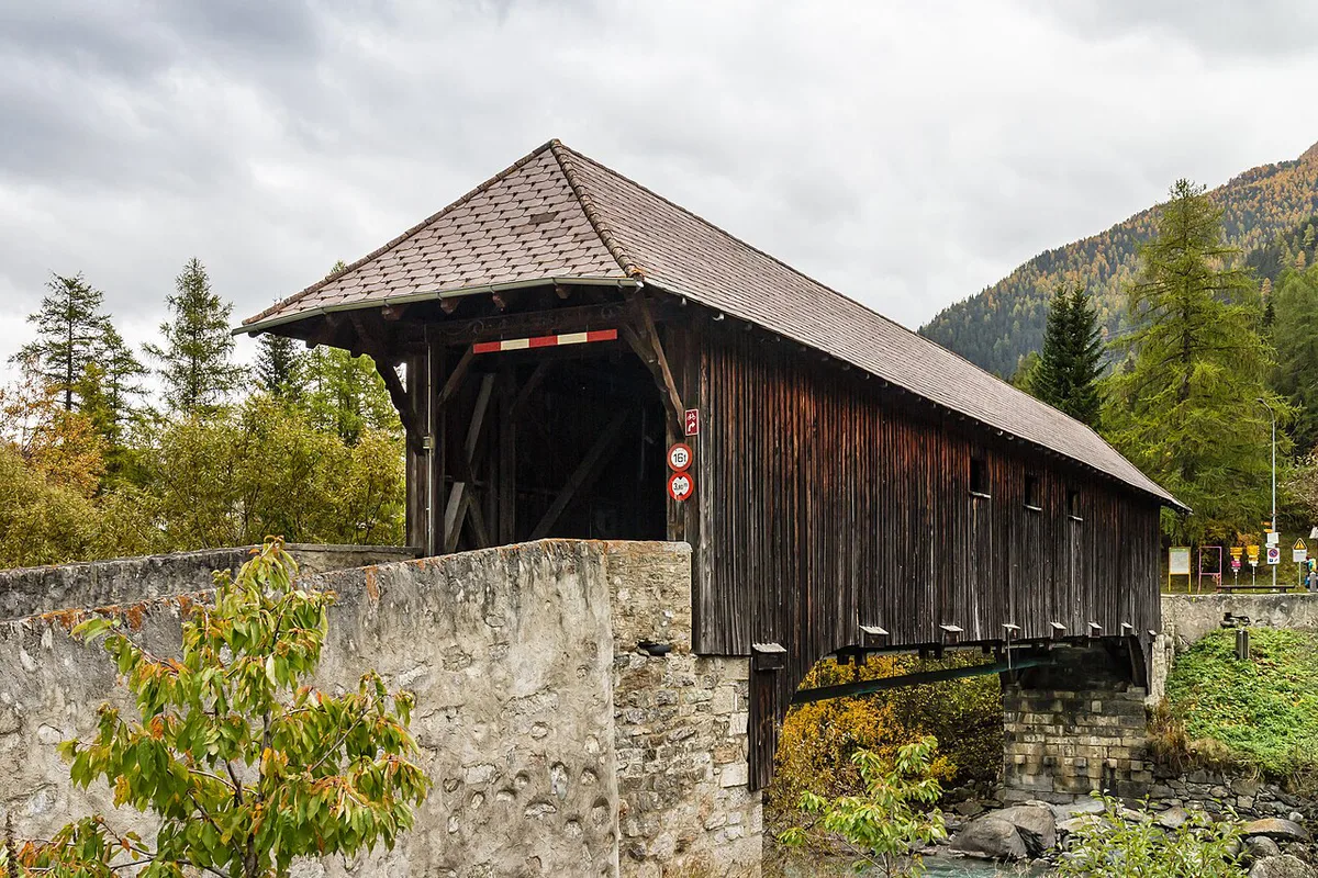
Zernez is the village to aim for. The Swiss National Park Center there has interactive displays, an information point, a shop and guided hikes. Many trails start from the Ofenpass road, where numbered parking points help you navigate. Trail 14 runs from the customs house at Punt la Drossa (P4) to Il Fuorn (P6). Rail and PostBus connections, parking fees and the dog policy change, so check SBB, PostBus and the park's official pages before you go.
One, two or three days from Zernez
Use Zernez as your base and match the plan to the trail status. These routes use only trails from the table above.
- Day 1: Walk trail 14 (1 h) and trail 05 (1 h 15), then spend the afternoon at the visitor centre.
- Day 2: Hike trail 15, Munt la Schera, for 4 h 45 over 13 km.
- Day 3: In late September, go for Alp Trupchun (4 h, 14 km) at the end of the afternoon.
- Alternative day 3: Tackle trail 04, Piz Quattervals, only if you are experienced and the trail is open.
Beyond the national park: regional parks and biosphere reserves
Switzerland's other parks suit travellers who want villages and farmland instead of strict wilderness. From the Swiss Parks Network list, nearby Graubünden choices include Parc Ela, Naturpark Beverin and Biosfera Val Müstair. Pfyn-Finges and UNESCO Biosphäre Entlebuch sit elsewhere in the country, and Wildnispark Zürich Sihlwald is another named option. In Val Müstair, the Benedictine Convent of St. John is a UNESCO World Heritage site. Scuol lies near the national park and links to S-charl by a gravel route. Diavolezza and Muottas Muragl have cable-car views but sit outside the park. If you are crossing the border, Austria's national parks give a contrasting set of options. Kalkalpen National Park Guide: Plan Your Visit is one example.
Planning mistakes and costs to check
Official pages hold the current numbers for entry, hut beds, parking and guided hikes. We did not find a published figure to quote here, so check nationalpark.ch before budgeting. These are the errors that most often break a plan.
Trail 18 crosses a 2,676 m (8,780 ft) pass, and the Chamanna Cluozza hut is open only from mid-June to mid-October, so book both windows together.
- Leaving marked paths, which the park does not allow.
- Planning a high pass such as trail 18 outside its late-June to late-September window.
- Assuming a hut bed can be booked at the last minute.
- Relying on phone coverage at Chamanna Cluozza.
- Bringing a dog without reading the current park rules.
Notes for your next park visit
Optional updates to our national park guides.
Read next
Keep planning
Picked from the same area