
Cascata do Arado, Gerês: How to Get There and When to Go
Plan a visit to Cascata do Arado in Peneda-Gerês: how to reach it from Ermida, why swimming is discouraged, and when the water flows best.
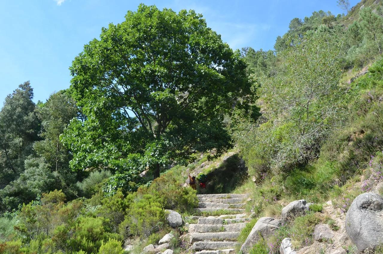
Last updated November 2026. Cascata do Arado is a river waterfall on the Rio Arado in Peneda-Gerês National Park, in the Terras de Bouro area. You reach it by car along a dirt track, then climb stone steps to a small viewpoint. Swimming is discouraged, and the falls can run dry in a drought, so read the safety and season sections before you set out.
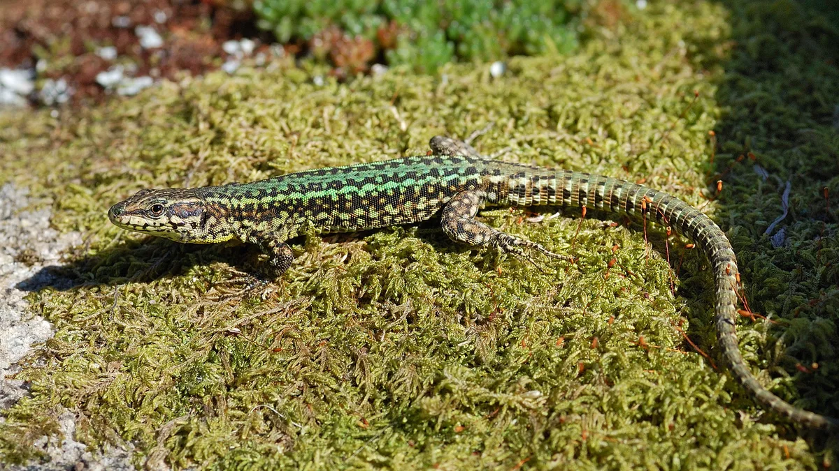
Featured image: Pedro Nuno Caetano, CC BY 2.0, via Flickr.
What Cascata do Arado is and where it sits
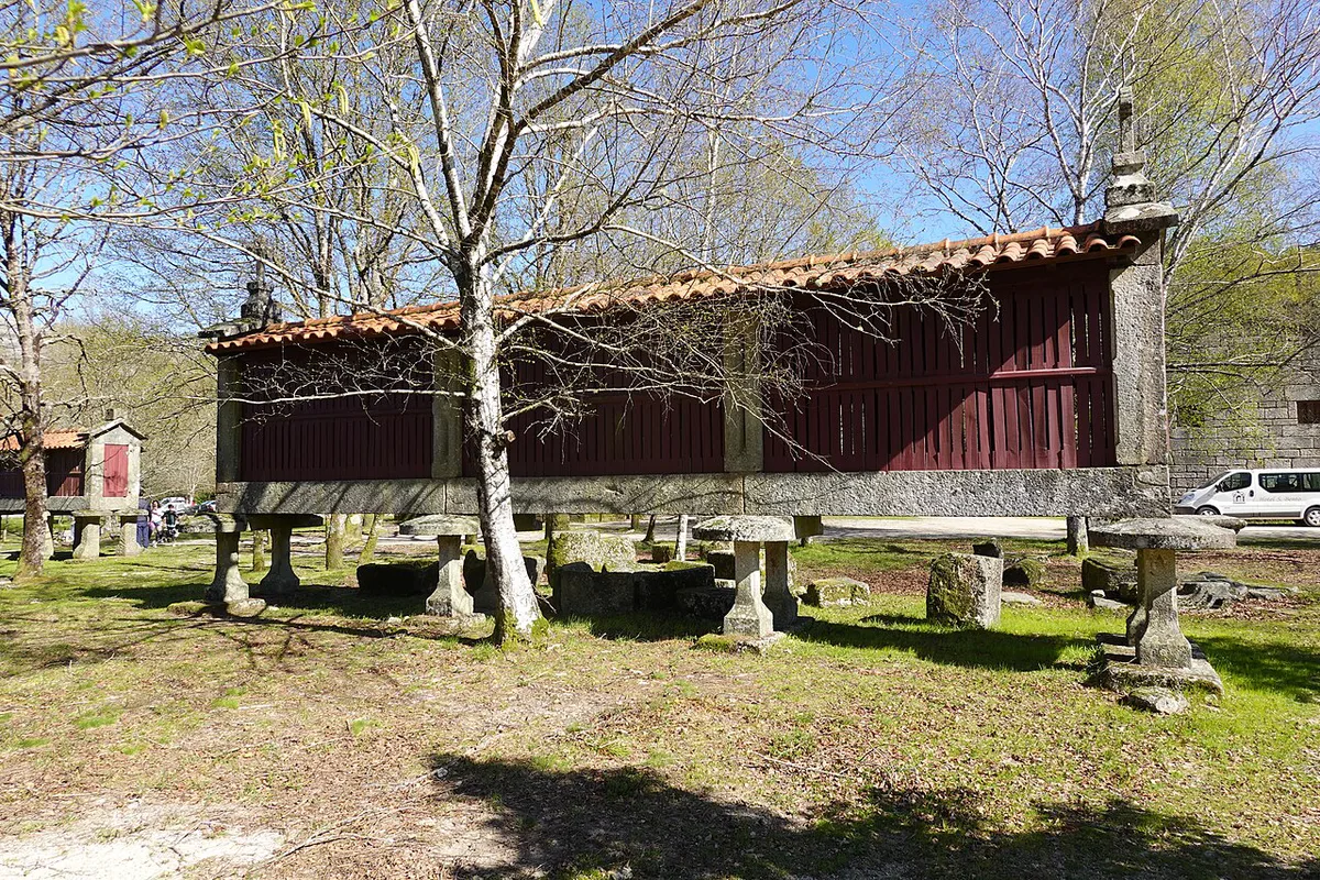
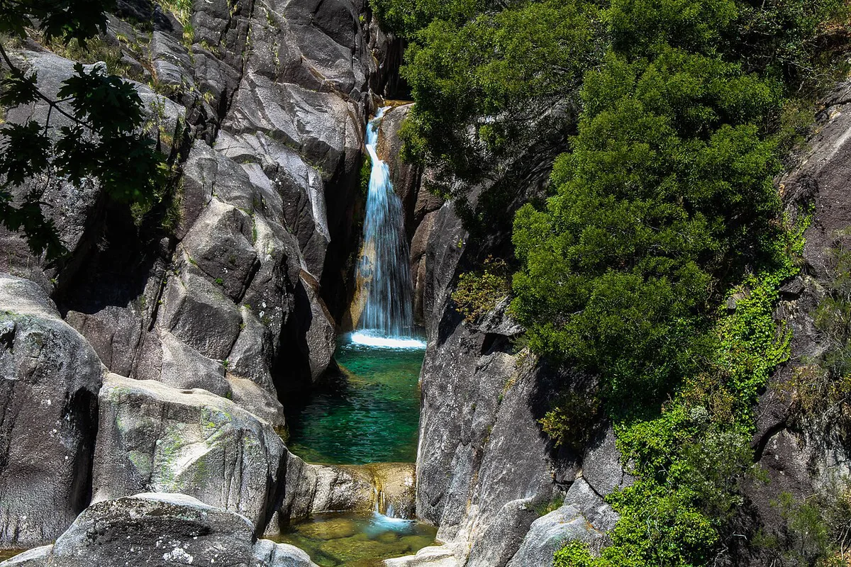
The Arado waterfall drops through the rocks of the Rio Arado as a series of cascades. Terras de Bouro's tourism listing places it about 3 km (1.9 miles) from the village of Ermida. It lists the same site about 8 km (5 miles) from Vila do Gerês, at an altitude of about 900 m (2,950 ft). The listing files it under Ermida, Vilar da Veiga. It sits inside Peneda-Gerês National Park, close to the Vilarinho das Furnas reservoir and Campo do Gerês.
- River: Rio Arado
- Nearest village: Ermida, in Vilar da Veiga
- Distance: about 3 km from Ermida and about 8 km from Vila do Gerês, per the municipal listing
- Altitude: about 900 m
- Cost: no fee or opening hours appear in the municipal listing, which tags the site as open
How to get there
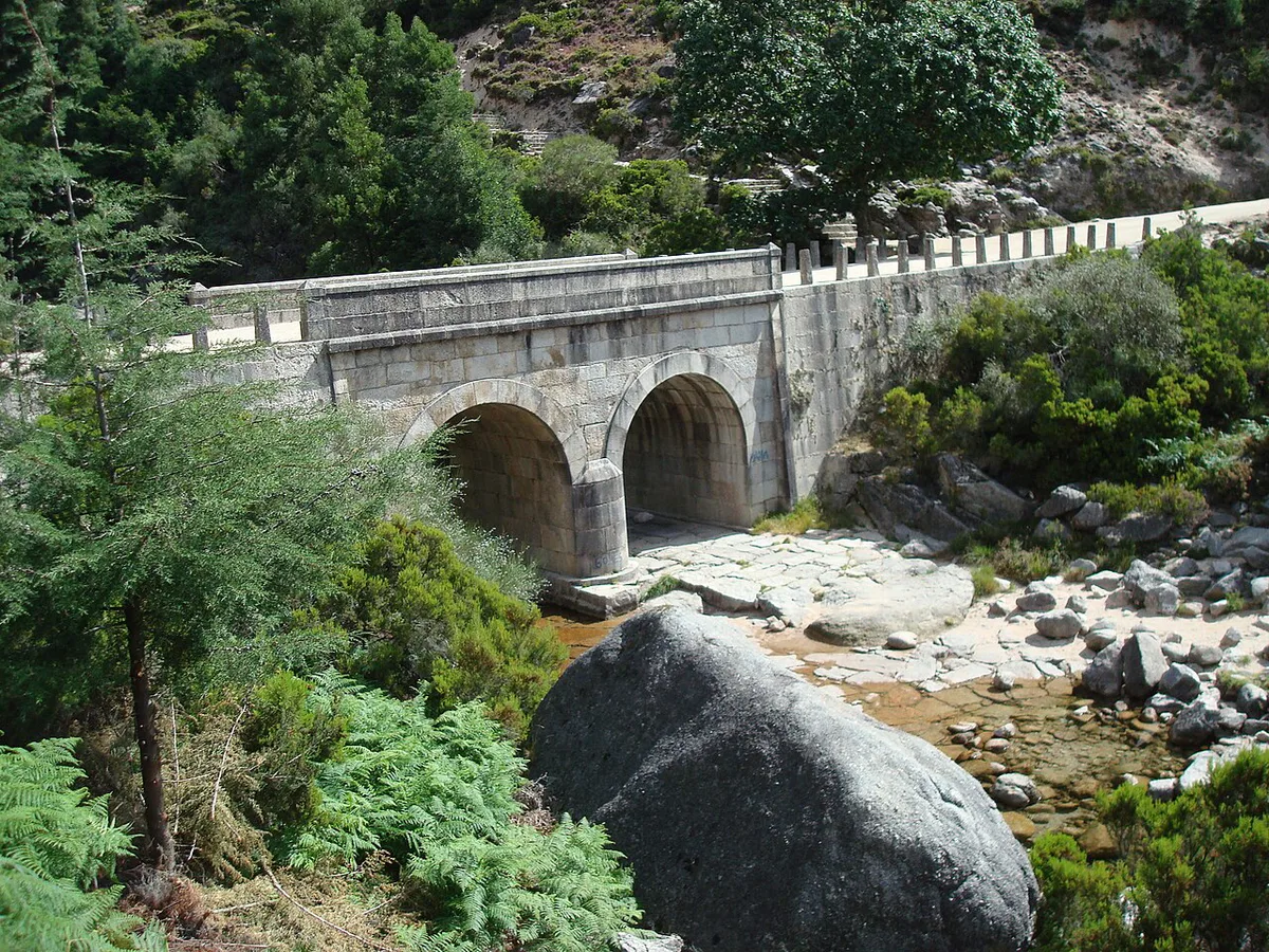
Access is possible by car. From Ermida, drive north toward Miradouro das Rocas and on to a stone bridge over the river. The last 1 km (0.6 miles) is a dirt track that ends at the bridge. From the bridge, stone steps climb to a small viewpoint above the falls. Mountain signal can be patchy, so download an offline map before you leave Vila do Gerês. Parking at the bridge is not documented, so expect a pull-off rather than a car park. Drive the dirt track slowly, and do not rely on sat-nav for the final stretch.
- Start from Ermida or Vila do Gerês.
- Head north past Miradouro das Rocas.
- Follow the dirt track to the bridge over the Rio Arado.
- Climb the stone steps to the viewpoint.
When to go: water flow and seasons
Flow depends on rain. The municipal listing warns that the cascade can be without water during dry spells. A third-party waterfall directory suggests visiting after a rainy period. No source here gives specific months, so check recent weather instead. After a wet week the falls are most likely to be worth the drive. After a long dry spell, consider postponing the trip.
| Conditions | What to expect | Decision |
|---|---|---|
| After a rainy period | Water most likely running over the rocks | Go |
| Long dry spell | Falls may be dry | Postpone |
| Wet steps and track | Slippery, uneven surfaces | Go only with grippy shoes |
Safety and swimming at Cascata do Arado
Bathing is discouraged here. The municipal listing calls the site susceptible to serious accidents. Rock surfaces are slippery and uneven, so treat the viewpoint as the destination rather than the water. Wear shoes with real tread, because the stone steps get slick when wet. Read the visitor rules published by the ICNF protected areas service before you hike or light anything in the park.
- Do not swim at the base of the falls.
- Do not wear smooth-soled shoes on wet steps.
- Do not trust sat-nav on the last kilometre.
- Do not treat this as a full-day hike; it is a short stop.
Cascata do Arado vs nearby waterfalls
Other falls in the area are a short hop away. These figures are linear distances from a third-party directory. Mountain roads make real driving distances longer. Access effort and swimming status are not documented for most of these falls, so ask locally before you commit.
| Waterfall | Approx. distance from Arado (linear) | Notes |
|---|---|---|
| Fecha de Barjas | about 3 km | Access and swimming: ask locally |
| Cascata da Laja | about 4 km | Access and swimming: ask locally |
| Cela Cavalos | about 13 km | Access and swimming: ask locally |
| Pitões das Júnias | about 19 km | See our Pitões das Júnias guide |
| Peneda | about 29 km | Peneda side of the park; ask locally |
Make it a half-day: what to combine with it
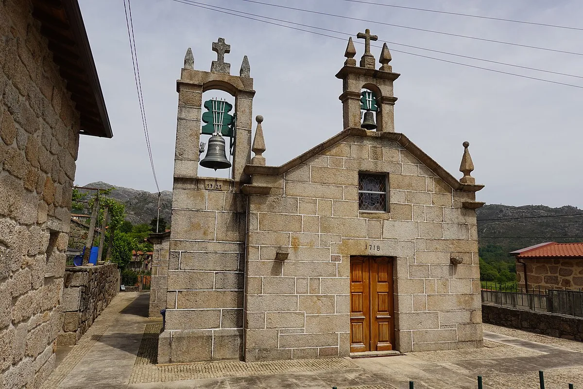
The walk itself is short, so pair it with a stop at Miradouro das Rocas on the same road. Add Fecha de Barjas or Cascata da Laja if the weather is dry and the roads are clear. Plan roughly a half-day in total, which is our estimate rather than a published figure. A car is practically necessary, since public transport in the park is limited. Without one, ask a local taxi or tour provider in Vila do Gerês. For wider planning, start with our Peneda-Gerês park guide. For other protected areas, see National Parks in Portugal: Which Ones to Visit and How.
Where to stay and eat nearby
Base yourself in Vila do Gerês, about 8 km (5 miles) from the falls, or in Ermida, about 3 km (1.9 miles) away. Both are close enough for a short drive. Browse options on Visit Portugal, and ask your host about current lunch spots in the villages.
Ermida is about 3 km from the falls, yet the last 1 km (0.6 miles) is a dirt track, so the drive is slower than the distance suggests.
Notes for your next park visit
Optional updates to our national park guides.
Read next
Keep planning
Picked from the same area