
Abisko Map: Park, Trails & Which Map to Use
Understand the Abisko layout and choose the right map for the national park and trails, with offline tips, seasonal notes and common mistakes.
Last updated November 2026: the right Abisko map depends on whether you are walking around the village, driving the E10 or heading onto the fells. This guide explains the layout in words, then compares the map options for the national park and its trails. Start with the official park map and Naturkartan, and add a printed fjäll map for anything beyond the marked paths. Abisko is one of the parks in our 8 National Parks in Sweden: How to Choose the Right One overview.
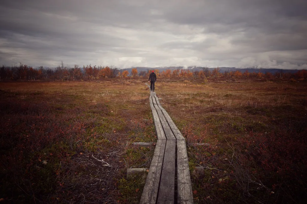
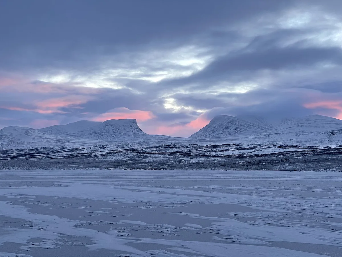
Featured image: Kristine.li, CC BY-SA 4.0, via Wikimedia Commons.
Abisko Map at a Glance: How the Village, Park and Trails Fit Together
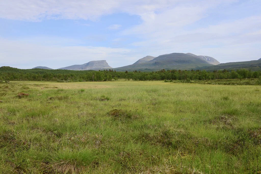
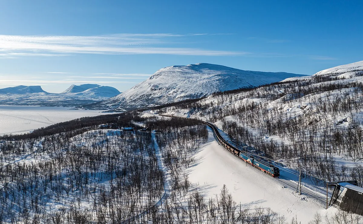
Abisko sits on the shore of Torneträsk, a large mountain lake in Swedish Lapland. The E10 road runs through the area, and the railway station serves the village. The national park lies right beside the settlement, so most visitors move between lodging, trailheads and viewpoints without needing a long transfer. Read the park's official map for exact walking distances. Our Abisko National Park guide covers the park itself in more depth.
- Abisko Turiststation: the mountain lodge and hiking base that many trail descriptions use as a starting point.
- Abisko Östra: the railway stop east of the main station area, which appears on rail and regional maps.
- E10: the main road through the area, and the best landmark on a road or phone map.
- Aurora Sky Station: the aurora-viewing base, usually shown as a separate point on maps.
- Kungsleden: the long-distance trail whose northern end is at Abisko. The official map marks the exact trailhead.
Which Map Should You Use?
No single map covers every need. Phone maps are fine for the village and the road. They are weak for mountain terrain. For hiking, rely on the national park's official map and Naturkartan, and carry a topographic map based on Lantmäteriet's official map data if you plan to leave the main paths. Some printed maps are paid products, and the publisher lists current prices in SEK.
| Map option | Best for | Works offline? | Trail detail | Limits |
|---|---|---|---|---|
| Official park map | Marked trails and park boundaries | Yes, if saved or printed | Marked routes and park features | Check the park authority page for the current version |
| Naturkartan | Planning trails and finding points of interest | Depends on app settings | Trail lists and local points | Some features may need a free account |
| Printed topographic or fjäll map | Hiking beyond marked paths | Yes | Contours and terrain | Paid product that can age |
| Google or Apple Maps | Road, village and station | Only if downloaded | Little | Not a hiking map |
Reading Trails, Distances and Difficulty on Abisko Maps
Start with the legend. Official maps use symbols for marked trails, shelters, bridges and park boundaries. Compare the scale before you trust any distance. Contour lines show climbs that a flat line on a phone app hides. Mountain terrain makes any route slower than the straight-line gap suggests. Difficulty labels differ between sources, so read the trail description as well as the colour. Current trail notices come from the park authority and the county board, Länsstyrelsen Norrbotten. Our 12 Things to Do in Abisko: Aurora, Hikes & Day Trips guide lists the main walks to look up on the map.
Maps by Season: Summer Hiking vs Winter and Aurora Trips
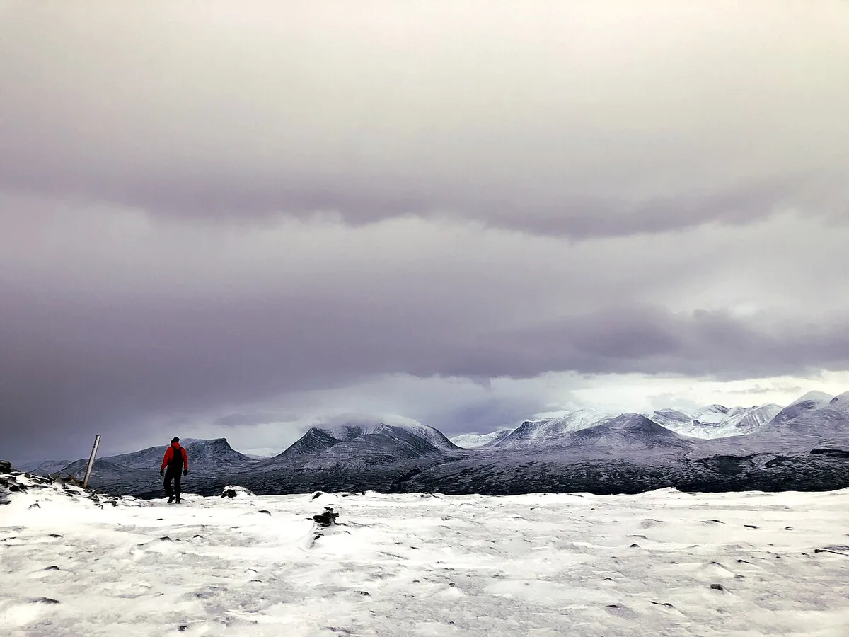
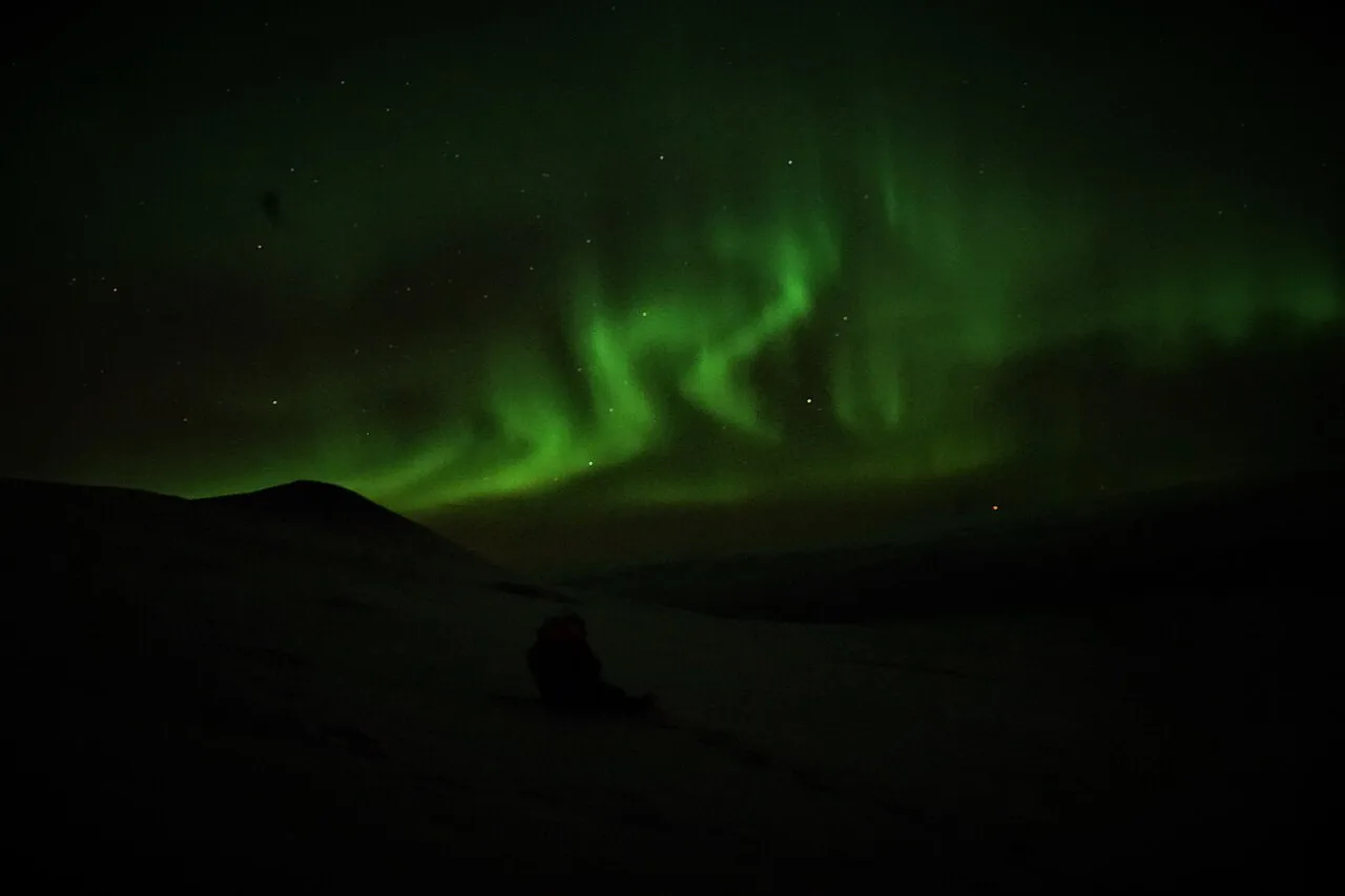
A summer map is a trail map. In winter, snow cover changes which paths are usable and how easy they are to follow. Daylight is short in the dark season, so a map you cannot read in a headlamp is of little use. Aurora trips need a different map again: look for open sky, the Aurora Sky Station base and a safe route back. Check current conditions on SMHI's forecast pages and read our Abisko Weather by Month: Temperatures, Daylight & What to Pack guide before choosing a layer.
- Summer: official park map, Naturkartan and a printed topographic map.
- Autumn: the same set, plus a check on trail notices as conditions change.
- Winter: road map for the E10, a printed map as backup, and local advice on snow conditions.
- Aurora evenings: a phone map for the road and the Sky Station, with a charged battery.
Offline Maps and Mobile Signal: What to Download Before You Go
Mobile coverage in mountain areas can be patchy. Download your map before you leave the village, and test it in airplane mode. Ask your operator about coverage in Abisko before you travel. Cold weather drains phone batteries quickly, so carry a power bank and keep the phone inside a jacket. A printed map does not need a signal or a battery, which is why it works as the backup for any hike.
Phone maps are fine for the E10 road, yet the village is where you should download your map and test it in airplane mode.
Getting Around Abisko Using the Map
Use the station and the E10 as your fixed points. Many people arrive by train and walk to the lodging and trailheads, while others drive along the E10. Our How to Get to Abisko: Train, Flight and Car Options guide covers the journey itself. The STF Abisko Mountain Station page is a useful reference for the lodge's role as a hiking base. Staying close to the station or trailheads saves walking time, and you can compare options in our Hotels in Abisko: Where to Stay by Trip Type (2026) guide. Larger wilderness parks such as Sarek National Park: Access, Season & Who It's For demand far more navigation skill than Abisko's marked paths.
Common Map Mistakes to Avoid
Most navigation problems in the mountains come from a small set of habits. Avoid these before you set off.
- Relying on a phone map with no offline download.
- Treating a village map as a hiking map.
- Ignoring seasonal trail closures and notices.
- Underestimating distances in mountain terrain.
- Skipping a printed backup on longer walks.
- Heading out in poor visibility without a clear turn-back point.
Choosing Your Next Step
Once you know the layout, pick the map that fits your trip and save it before arrival. For a wider view of the country's options, see our 8 Best National Parks in Sweden: Choose by Season and Skill list. Treat any map as a planning aid, not a guarantee. Mountain weather and trail conditions can change the plan.
Frequently Asked Questions
Is Abisko above the Arctic Circle?
Yes, Abisko lies north of the Arctic Circle in Swedish Lapland. That is why aurora viewing and long winter darkness are part of planning a trip.
How do you get to Abisko?
Most visitors arrive by train to the village station or by car on the E10. Use those two landmarks to orient yourself on any map.
Notes for your next park visit
Optional updates to our national park guides.
Read next

Keep planning
Picked from the same area