
Valsavarenche Guide: Pont, Hikes & How to Visit
Plan a visit to Valsavarenche: where Pont is, how to get there, seasons, hiking bases and how it compares with Cogne and Rhêmes.
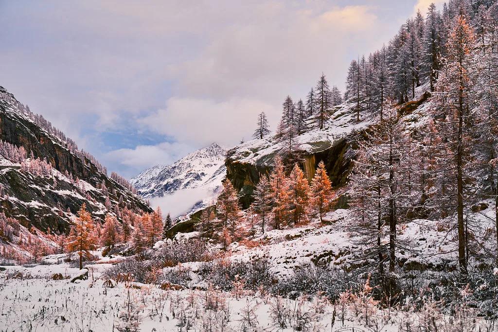
Last updated November 2026: valsavarenche is a high Alpine valley and comune in the Aosta Valley, inside Gran Paradiso National Park. Asphalt ends at Pont, about 1,950 m up, and the valley works as a base for hiking and mountaineering. Use our Gran Paradiso National Park guide for the wider park picture.
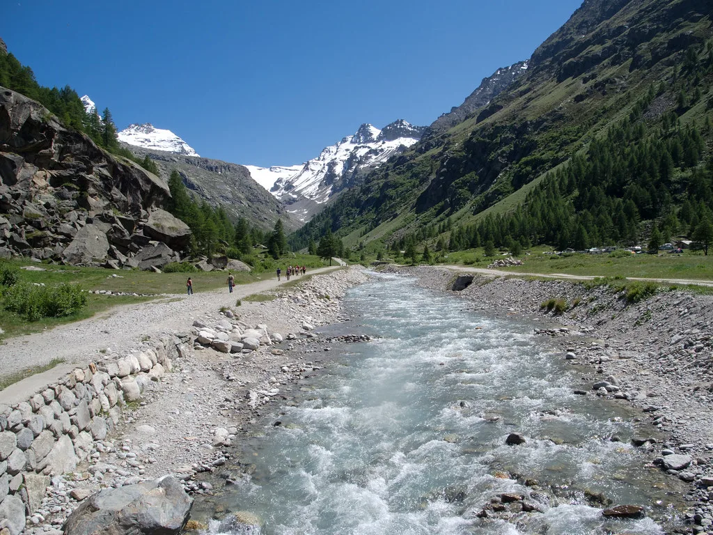
Featured image: deensel, CC BY 2.0, via Flickr.
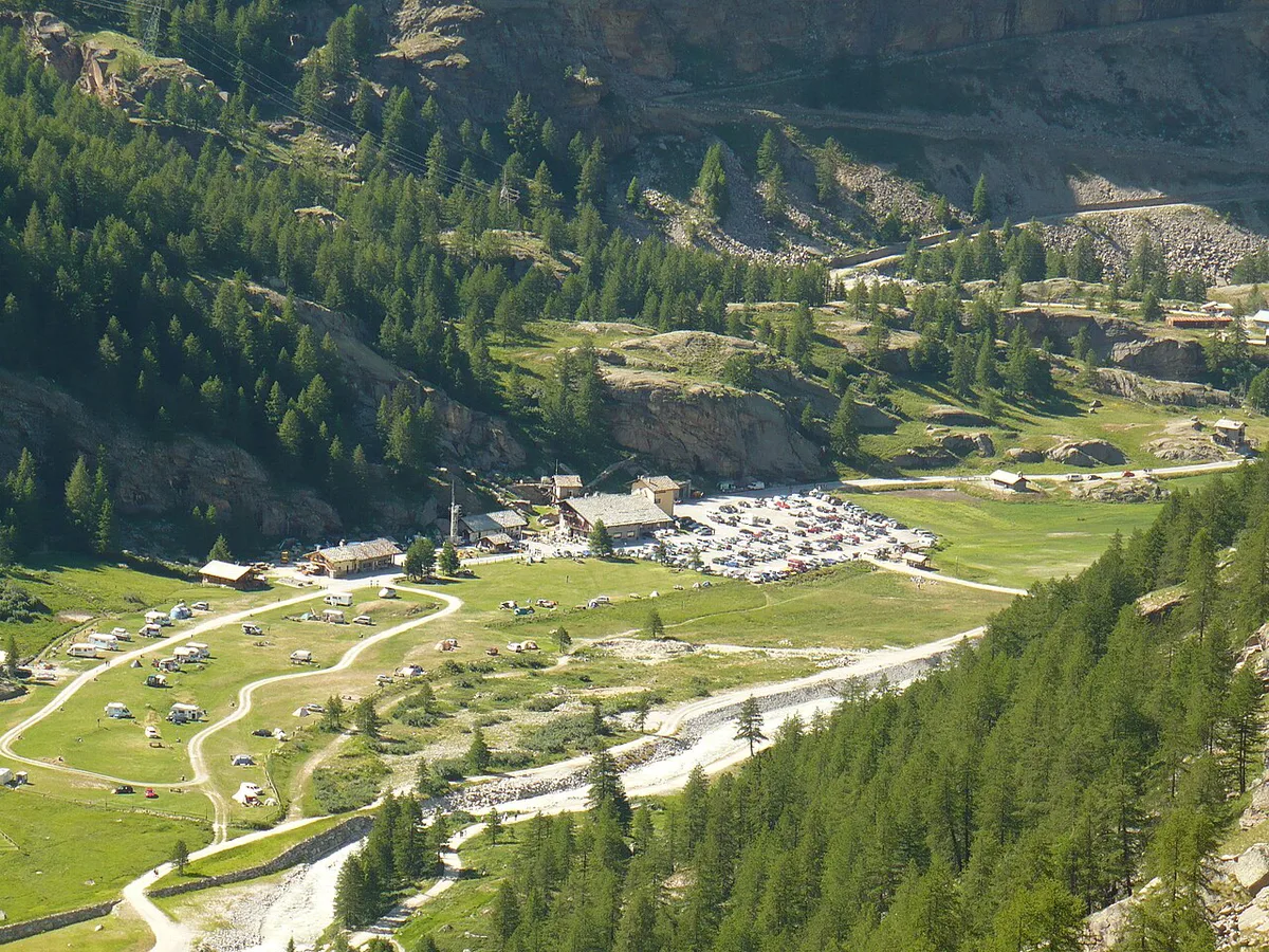
What Valsavarenche Is (and Where Pont Fits)
Valsavarenche is both a valley and a comune. As a comune it covers about 139 km² and rises from roughly 1,000 m to 4,061 m. It had 161 residents on 31 December 2022, so expect a scattered mountain community rather than a town. Locals say Ouahèntse in the Valdôtain dialect. Older maps may show Valsavara (1939–46) or Valsavaranche (1946–76). Pont is not the village centre. Pont, also written Le Pont or Pont Valsavarenche, is the last hamlet at the top of the road. It sits at about 1,950 m, and trails to the Nivolet pass, the Vittorio Emanuele II refuge and the Gran Paradiso summit start there. The comune spreads across many frazioni, which are small hamlets. These are the ones most visitors meet:
- Dégioz (also spelled Déjoz): a main settlement along the valley road.
- Rovenaud and Maisonnasse: smaller hamlets on the way up.
- Le Créton: another roadside hamlet.
- Le Pont: the road end and trailhead hub.
How to Get to Valsavarenche
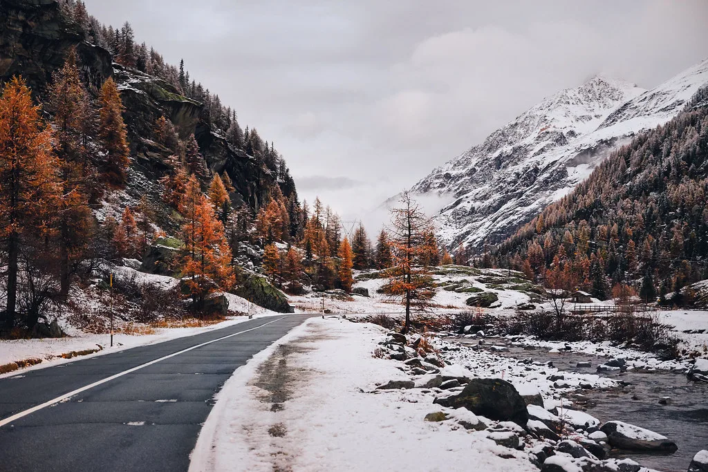
Start from Aosta and follow the main valley road to Introd. The Valsavarenche road leaves the main valley there and climbs to Pont. Plan on driving if you want flexibility, since the road is the only way up and the hamlets are spread out. Public bus service from Aosta runs on seasonal timetables, so check the current schedule with the regional operator before you travel. Parking arrangements near Pont also change by season. Read the Gran Paradiso National Park official site for current access notes. Winter and spring road status can differ from the summer picture. Do not assume you can drive from here into the neighbouring valleys. Cogne, Rhêmes-Notre-Dame and Ceresole Reale are normally reached by their own roads, so treat each as a separate trip. The Nivolet pass and its lakes are approached from the Piedmont side through Ceresole Reale Guide: Lake Walk, Access & When to Go, even though trails from Pont lead toward the pass on foot.
What to Do From Pont and Along the Valley
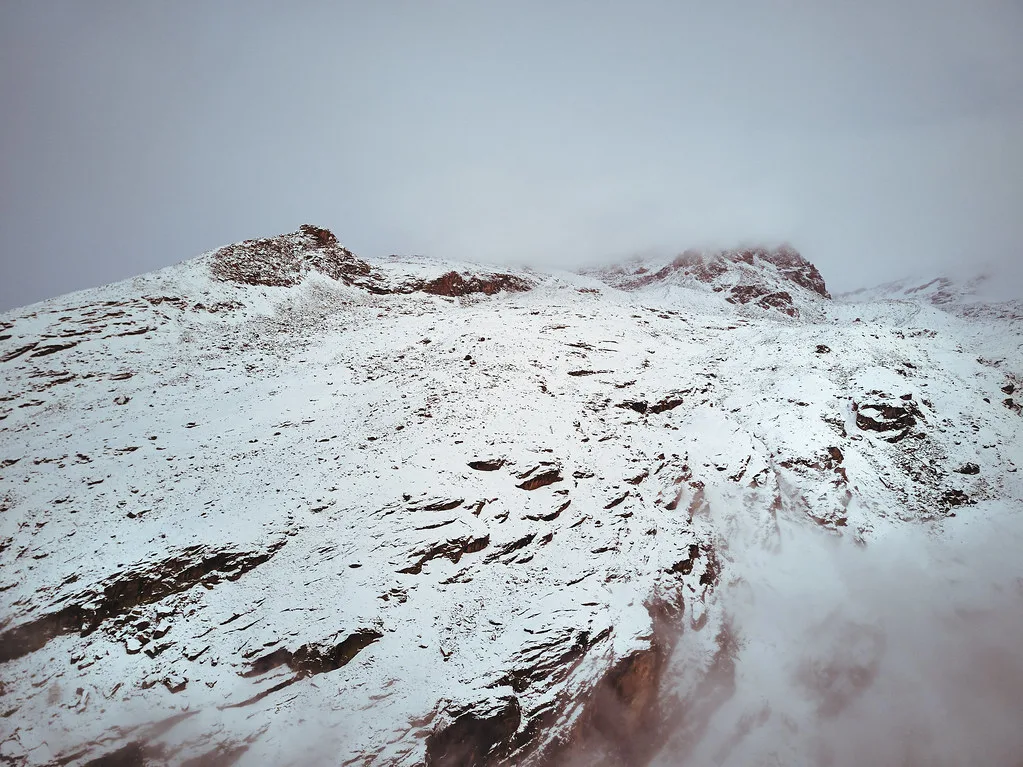
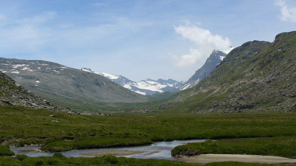
Pont is the starting point for the classic high-mountain routes. Paths run through woods, pastures and lakes. One climbs toward the Nivolet pass. Another heads for the Vittorio Emanuele II refuge, the traditional base for the Gran Paradiso summit. Walkers who do not want a hut night can still wander the lower valley between hamlets. Alpine stone huts and alpine plateaus appear on route maps near the upper valley. Check each place's access route before you plan around it, because some names belong to the Ceresole Reale side. Refuge opening dates and booking rules are set by the operators, so use the park's pages for current details. Summit attempts need mountaineering experience, equipment and a settled weather forecast. Day walkers should turn back early if cloud builds. Ground at 1,950 m and above is colder and more exposed than the valley floor.
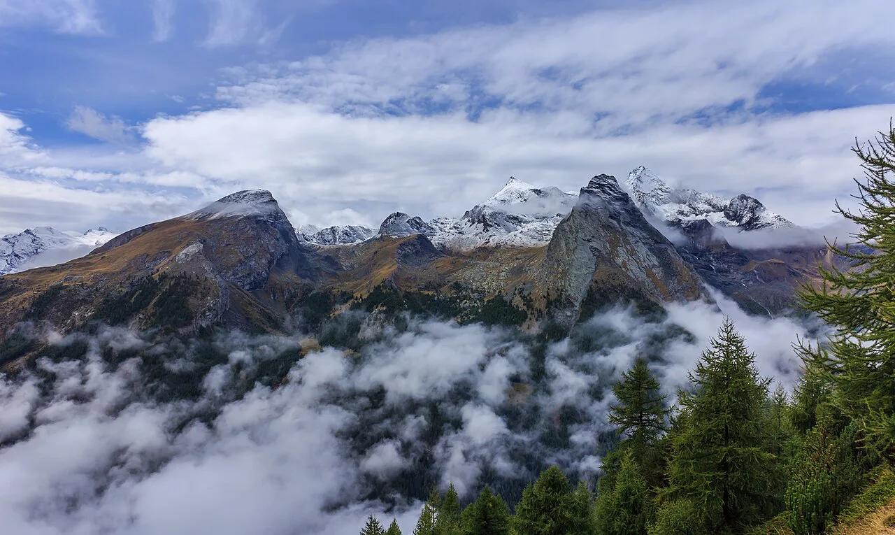
Valsavarenche spans 1,000 m to 4,061 m, so the colder ground at Pont is only the top of the range.
When to Go: Season-by-Season Trade-Offs
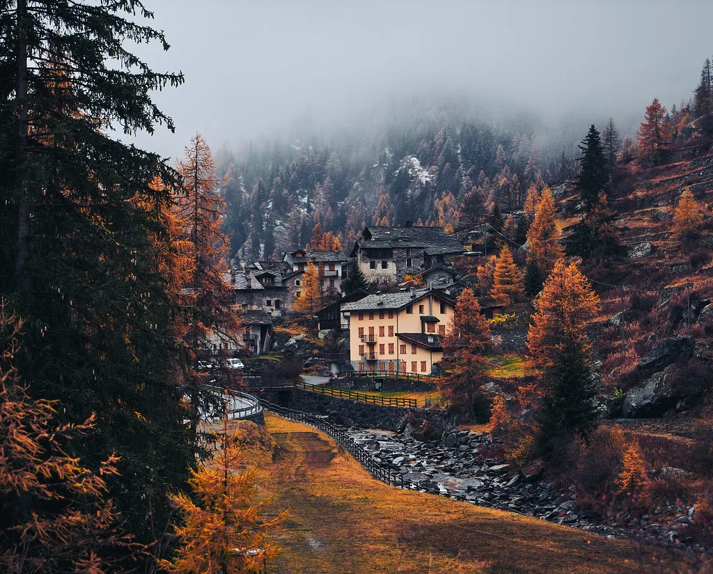
Summer is the main season for hikes and for refuge stays. Autumn is quieter, and services thin out as the season ends. Winter brings snow, reduced services and a different set of activities, such as snowshoeing or ski touring. It is late November as you read this, so check before you go. Pont sits near 1,950 m, and temperatures there can drop below freezing even when Aosta feels mild. The valley's lodging, shops and huts keep seasonal hours. Confirm what is open through Aosta Valley tourism and the park office. Use this checklist before any low-season trip:
- Road status up to Pont for the day you travel.
- Bus timetable, if you are not driving.
- Opening dates of your chosen lodging or refuge.
- Snow and avalanche conditions for your route.
- Daylight hours, which are short in late autumn.
Where to Stay and Eat
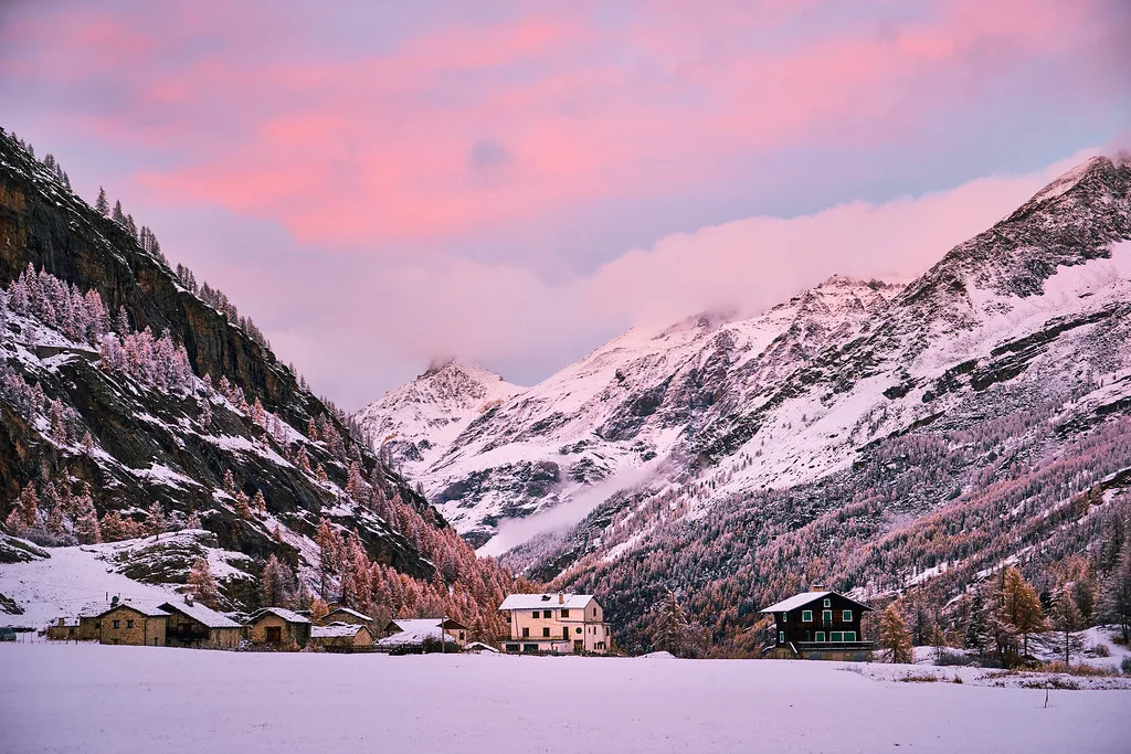
Base types are simple. Village lodging sits along the valley road in hamlets such as Dégioz. A campsite near Pont, listed as Camping Pont Breuil on route maps, serves campers in season. Mountain refuges serve hikers and climbers heading higher. Services are limited, so book early for summer weekends and bring snacks for long days. Nightlife and shopping are minimal. Stock up in Aosta or Introd before you head up. Meals at refuges and village lodging are usually the practical option. Opening dates and prices vary, and operators set them each year.
Valsavarenche vs Cogne, Rhêmes-Notre-Dame and Ceresole Reale
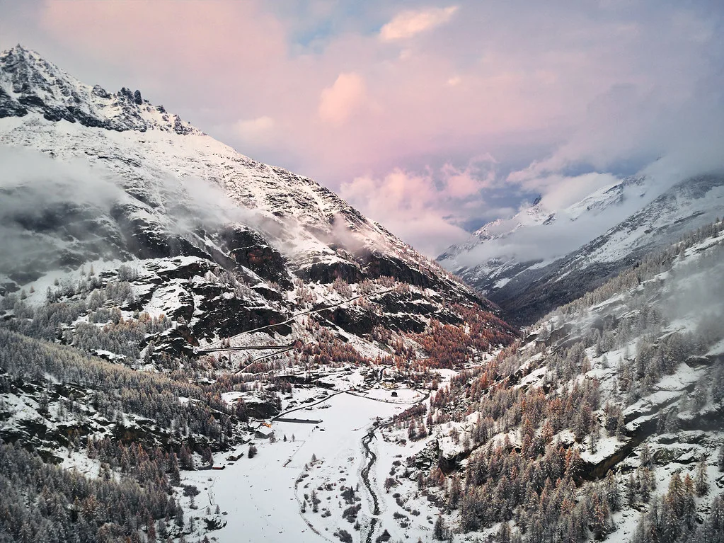
Each valley has a different character. Pick by the type of base you want and how much access friction you accept. All four sit in or beside the park, but you reach each one separately.
| Valley | Character | Best for | Skip if | Base type |
|---|---|---|---|---|
| Valsavarenche | High valley, road ends at Pont | Hut-based hiking, Gran Paradiso approach | You want shops or nightlife | Scattered hamlets, campsite, refuge |
| Cogne | Larger village hub | Easy walks, longer stays | You want a remote trailhead | Hotel village |
| Rhêmes-Notre-Dame | Quiet adjacent valley | Calm walking | You want many services | Small village lodging |
| Ceresole Reale | Piedmont-side approach | Nivolet pass access | You want a Valle d'Aosta base | Lake and trailhead area |
- Choose Cogne for a village base with more services.
- Add Valnontey for a flat-valley walking option on the Cogne side.
- Visit Lillaz Waterfalls: Access, Trail Time & Best Season for a short outing from Cogne.
- Pick Rhêmes-Notre-Dame if you want a quieter adjacent valley.
Mistakes to Avoid and Who Should Skip
Most problems come from assuming too much. Avoid these:
- Assuming everything is open year-round.
- Treating Pont as the village centre.
- Expecting shops, nightlife or a bank.
- Planning back-to-back valleys in one day without checking drive times.
- Underestimating altitude, since Pont is near 1,950 m.
- Ignoring park rules on dogs, drones, camping and wildlife; read the park's official rules first.
Notes for your next park visit
Optional updates to our national park guides.
Read next
Keep planning
Picked from the same area