
Oulanka National Park: Trails, Seasons & How to Get There
Plan Oulanka National Park: which trail to pick, best season, how to reach it from Kuusamo, and where to stay. Check current conditions first.
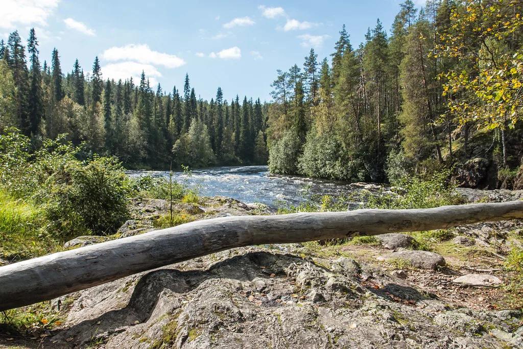
Last updated November 2026. Oulanka National Park sits in northern Finland, about 60 km north of Kuusamo and 40 km south of Salla. It is known for the Karhunkierros (Bear's Ring) trail, river canyons and rapids, and it suits hikers who want a wilderness walk with marked routes. This guide compares the trails, seasons, transport and bases, and it links to the wider national parks of Finland hub.
Featured image: Tips For Travellers, CC BY 2.0, via Flickr.
Oulanka National Park at a glance
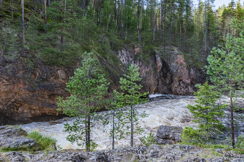
Oulanka covers about 270 km² along the Oulankajoki and Kitkajoki rivers. Its core is the Oulanka Visitor Centre (Oulangan luontokeskus) at Liikasenvaarantie 132, near the Karhunkierros trailhead. Official park information is on Nationalparks.fi. Hikers, canoeists and photographers get the most from it. Travellers who want lifts, cafés and short walks only will find it thin.
- Location: Kuusamo–Salla border, northern Finland
- Visitor centre: Oulangan luontokeskus, Liikasenvaarantie 132, 93900 Kuusamo
- Main areas: Kiutaköngäs (visitor centre), Juuma, Hautajärvi
- Entry: free
- Wilderness huts: 7 open huts and 1 daytime hut
Which trail should you hike?
Pick by time and by how you will get back to your car. The Karhunkierros runs about 80 km and is one-way. Pieni Karhunkierros (Little Bear's Ring) is a 12 km loop and is the usual one-day choice. Distances come from park materials and can shift with route changes, so check trail notices on Nationalparks.fi before you set out.
| Trail | Distance | Type | Best for | Skip if |
|---|---|---|---|---|
| Karhunkierros | About 80 km (50 miles) | One-way, multi-day | Hikers with hut or camp stops | You have no transfer plan |
| Pieni Karhunkierros | 12 km (7.5 miles) | Loop, one day | First-timers with a full day | You only have two hours |
| Keroharju trail | 17 km (10.5 miles) | Day hike | Fit hikers wanting quiet | You want a short walk |
| Könkään keino | 8 km (5 miles) | Day trip from visitor centre | Rapids and river views | Snow covers the trail |
| Rytikönkään reissu | 5 km (3 miles) | Nature trail, snow-free season | Short outings with children | You want a long route |
| Kiutakönkään Trail | 1 km one way (0.6 miles) | Short walk, all year | Visitor-centre stop | You want a full hike |
| Könkään kuohu | 0.3 km (0.2 miles) | Accessible, snow-free season | Wheelchair or stroller access | You want distance |
| Kiutaköngäs–Juuma winter trail | 26 km (16 miles) | Winter route | Skiers and snowshoers | You are new to winter travel |
How much time do you need?
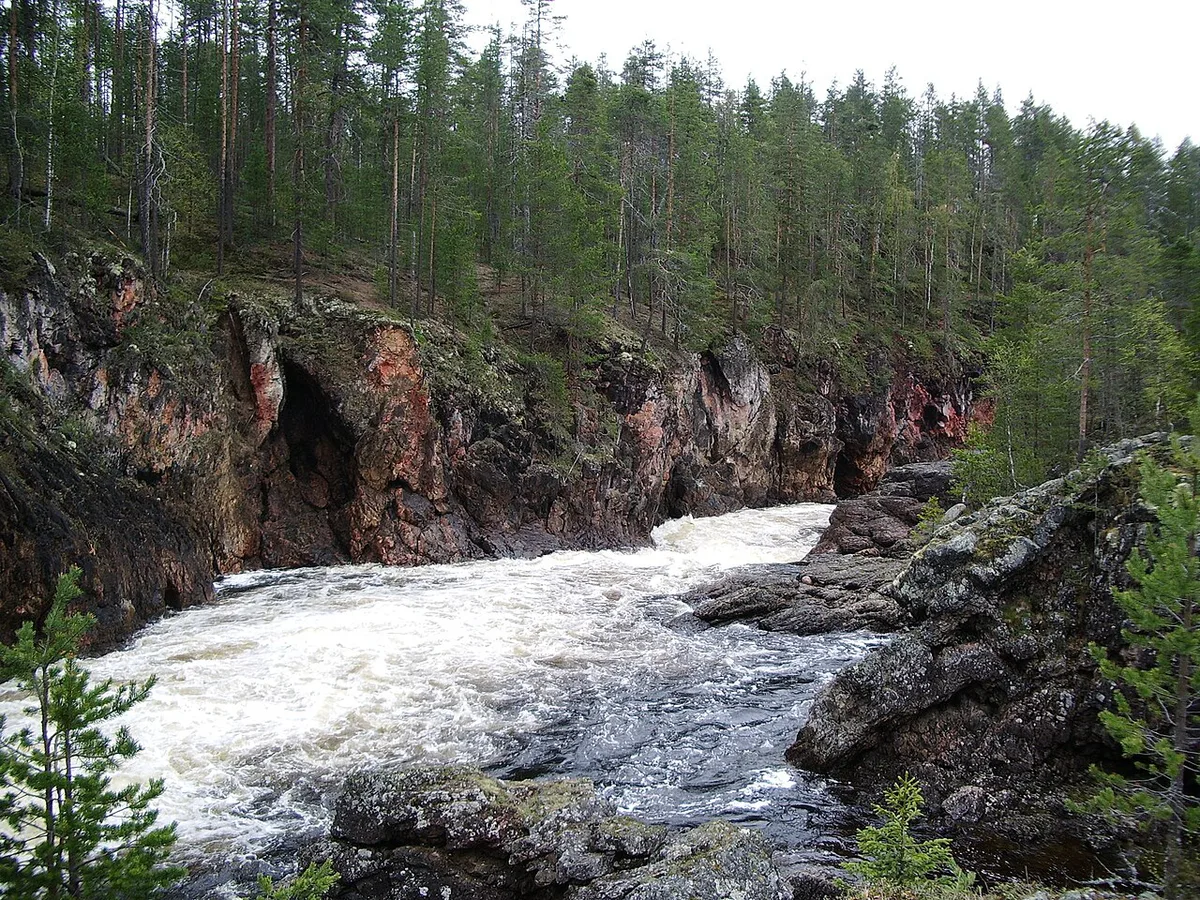
Match the plan to your days. Each option below trades depth for logistics. Half a day keeps you near the visitor centre. One day gets you into the canyon country. Two to four days add hut nights and need transport at both ends.
- Half day (Kiutaköngäs): Walk the 1 km Kiutakönkään Trail, add the 0.3 km Könkään kuohu if you want a level path, and visit the exhibits. You skip the canyons and the long views.
- One day (Pieni Karhunkierros): Hike the 12 km loop and carry food and water. You skip the Karhunkierros sections beyond the loop and any overnight.
- Two to four days (Karhunkierros sections): Walk part of the 80 km route and sleep at huts or camps. You must arrange a pickup, because the route ends far from where it starts.
Best time to visit Oulanka
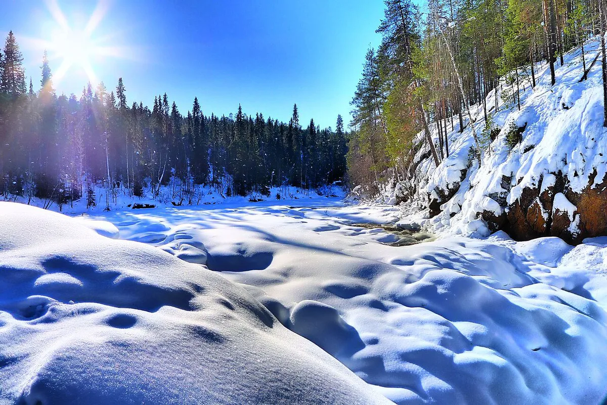
Autumn colours and fewer mosquitoes make September popular with hikers. Summer brings long days but also insects, so carry repellent. Winter trails need skis or snowshoes. Spring thaw can raise the Oulankajoki sharply, so water levels matter. For wider seasonal context, Visit Finland's park pages are a useful check.
| Season | What works | Main risk |
|---|---|---|
| Summer | Karhunkierros, Pieni Karhunkierros, canoeing, cycling route to Taivalköngäs (9 km one way) | Mosquitoes |
| Autumn | Colour on day loops and hut hikes | Short daylight, cold nights |
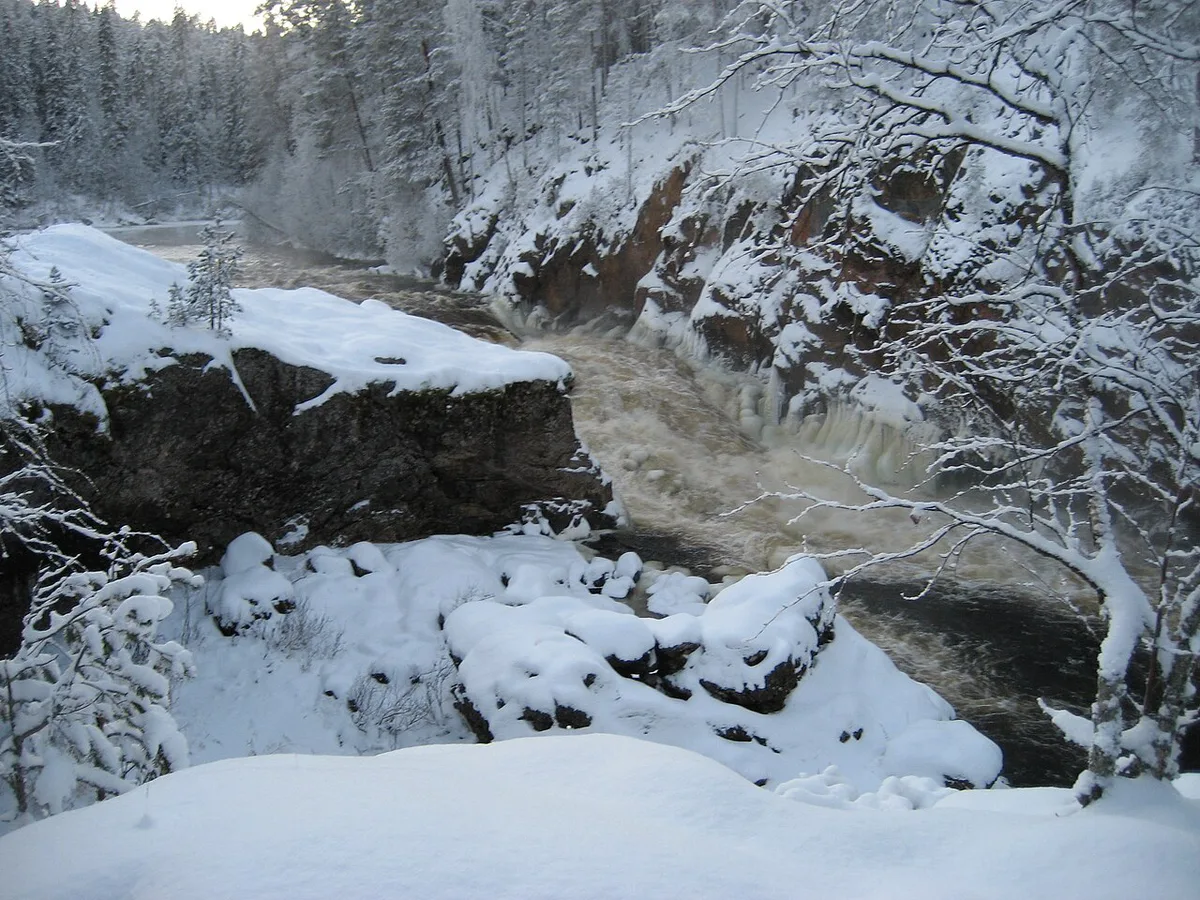
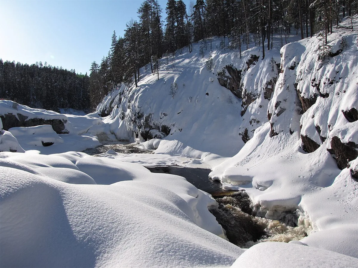
| Winter | Kiutakönkään Trail, Hiiden Hurmos snowshoe trail (5 km), 26 km Juuma–Kiutaköngäs trail | Snow, ice, cold |
| Spring | Short walks near the visitor centre | High water, wet trails |
How to get to Oulanka
By car from Kuusamo, take the E5 towards Kemijärvi for 38 km. Turn right onto road 950 towards Salla and drive 7 km to Käylä. Turn onto road 8693 towards Liikasenvaara, and the visitor centre is 13 km further. From Kemijärvi, take the E5 towards Kuusamo for 96 km, then turn left towards Käylä. From Rovaniemi, plan to reach Kemijärvi or Kuusamo first, because those are the roads described here.
- Karhunkierros bus: passes Ruka, Juuma, Käylä, Ristikallio parking area and Hautajärvi on school days, so check the current timetable.
- Airport bus: meets most scheduled flights at Kuusamo Airport and runs to Salla via Ruka, Käylä, Ristikallio and Hautajärvi.
- Summer taxis: special destination fares run from Kuusamo and Ruka.
- Trains: Oulu, Rovaniemi and Kemijärvi have rail links, and Oulu has the most frequent buses to Kuusamo.
Entrance fees, huts, and opening hours
Entry to the park is free. Fishing and hunting need licences, while berry and mushroom picking is allowed. Open wilderness huts number 7, plus 1 daytime hut, and Oulanka Camping Ground sits on the Karhunkierros route. Visitor-centre hours change by season, so read the current schedule on the park's official page. Mobile coverage can drop out on the trail, so carry a paper map.
Where to stay near Oulanka
Käylä, Juuma and Hautajärvi are about 13 km from the park and offer year-round rental cabins. Kuusamo has nearly 40,000 guest beds, mostly at Ruka, which lies 22 km from Oulanka. For town services, Visit Kuusamo lists options.
Pick a base in Käylä, Juuma or Hautajärvi, which sit about 13 km from the park, if you plan a one-way Karhunkierros section.
| Base | Suits | Car needed? |
|---|---|---|
| Juuma | Hikers starting the Karhunkierros; Camping Juuma has cottages | Often |
| Käylä | Drivers wanting Kuusamo services plus park access | Yes |
| Hautajärvi | Quiet stays at the northeastern end of the park | Yes |
| Ruka | Ski-resort services and many beds, 22 km away | Yes, or bus |
| Kuusamo | Largest town, shops and the airport | Yes, or bus |
Rivers, flora, and wildlife
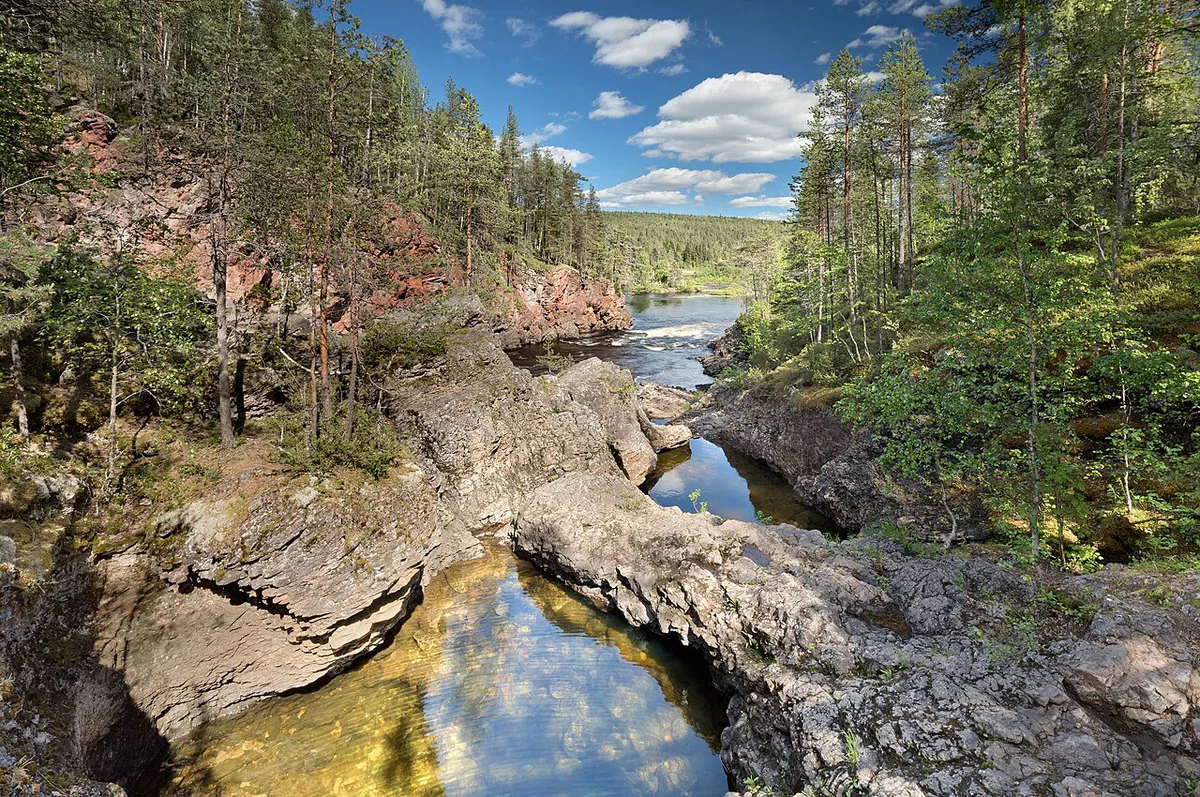
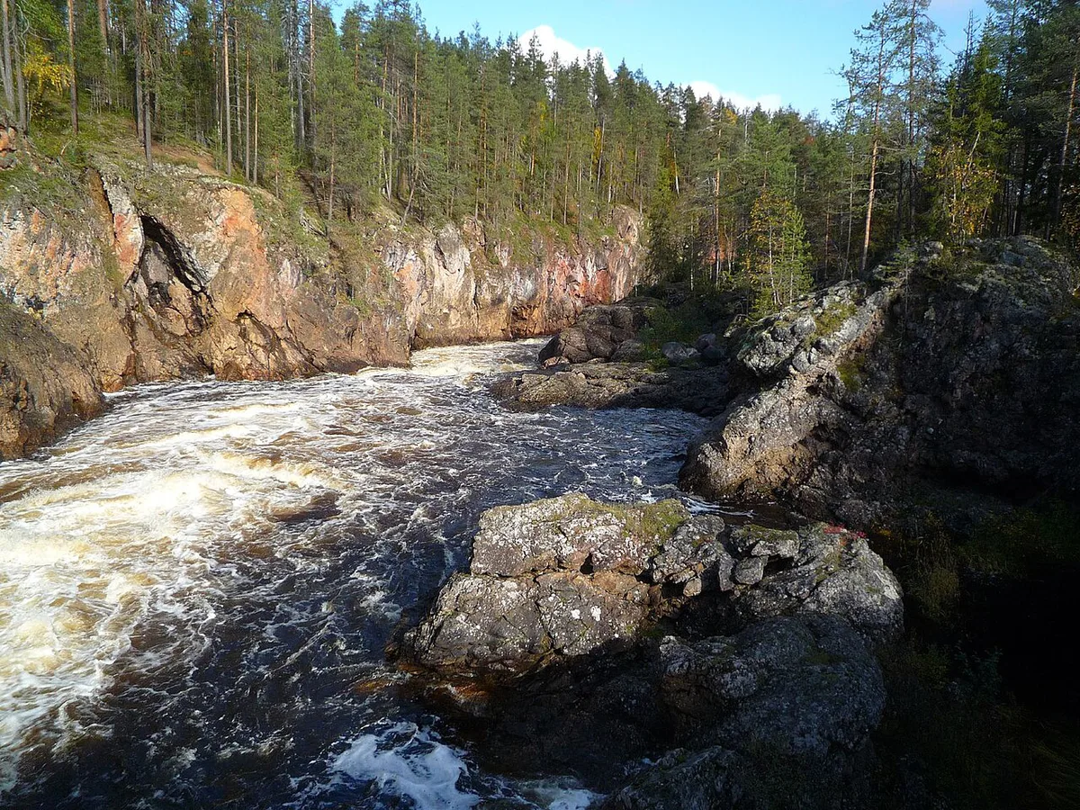
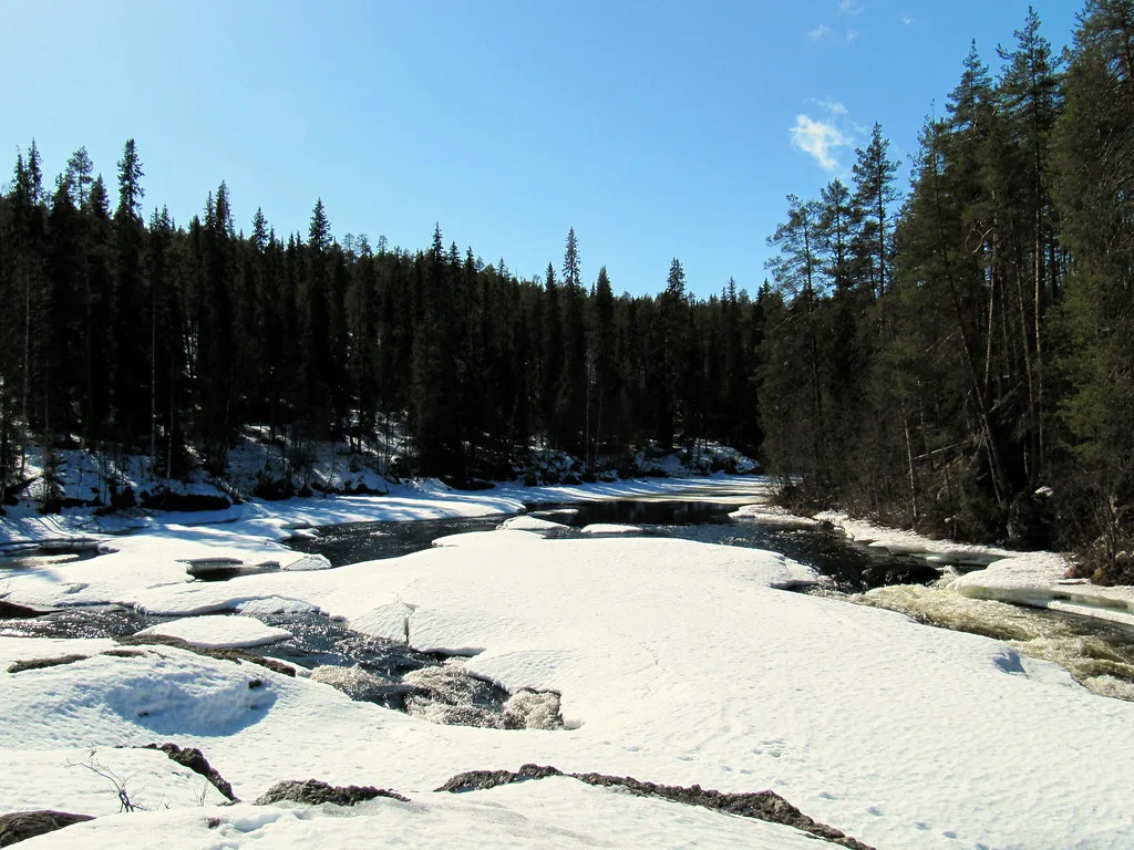
The Oulankajoki runs brown from Salla's bogs. The Kitkajoki runs clear from Lake Kitkajärvi and ends in rapids. They meet near the Russian border, and spring floods can transform the Oulankajoki. More than 500 vascular plant species grow here, and orchids such as Calypso bulbosa appear in summer. Over 100 bird species are recorded. Bear, lynx, wolverine and moose live in the area, but treat any sighting as luck.
Common mistakes and who should skip Oulanka
Most problems come from logistics, not terrain. Avoid these.
- Planning a one-way hike with no ride back from Juuma, Hautajärvi or Ristikallio.
- Trusting one season's bus times in another.
- Underestimating short daylight in shoulder seasons.
- Camping outside permitted places.
- Skipping licence rules for fishing.
Oulanka compared with other Finnish parks
Further north, Pallas-Yllästunturi offers fell landscapes. Urho Kekkonen National Park Guide: Hikes, Huts, Access and Lemmenjoki suit longer wilderness trips. Pyhä-Luosto is another northern option. If you cannot go north, try Koli's lake ridges in the east. Near Helsinki, Nuuksio is the closest option. Repovesi, Helvetinjärvi, Linnansaari and Archipelago National Park, Finland: How to Visit cover the south and centre.
Notes for your next park visit
Optional updates to our national park guides.
Read next
Keep planning
Picked from the same area