
Dwingelderveld National Park: Walks, Seasons and Planning
A practical guide to Dwingelderveld National Park in Drenthe: which walks to choose, when to go, how to get there and what to combine nearby.
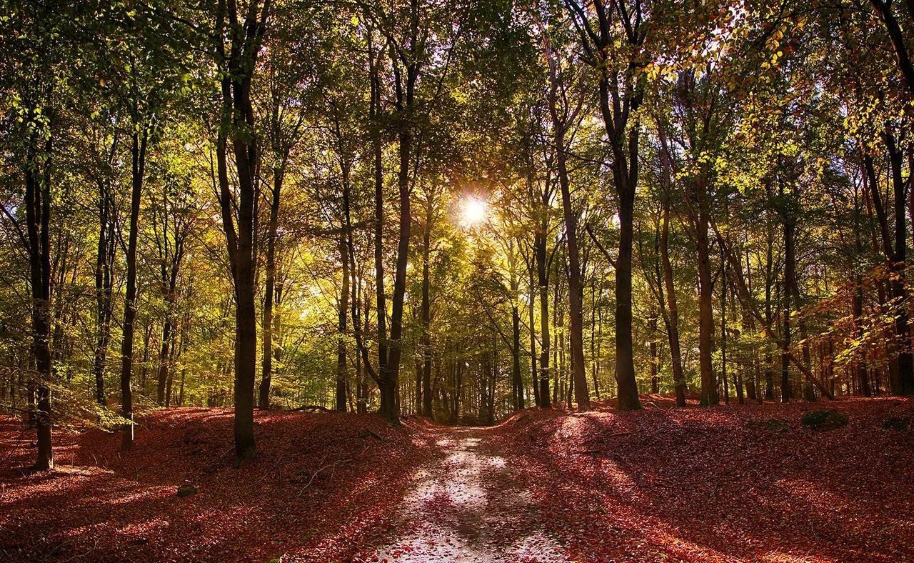
Last updated November 2026: Dwingelderveld National Park in Drenthe is a wet heathland of about 37 square kilometres, with fens, boardwalks and forest edges. It suits walkers who want flat, quiet terrain, and it rewards a half day more than a quick stop. This guide covers walks, seasons, access and nearby stops, and it sits inside our Dutch national parks guide.
Featured image: Niels Hageman, CC BY 2.0, via Flickr.
Dwingelderveld National Park at a Glance
Dwingelderveld is a wet heathland in the province of Drenthe, near the villages of Dwingeloo, Ruinen and Spier. Published figures put it at about 37 square kilometres, and it became a national park in 1991. Visitor information, routes and rules sit on the official park site. Use the two lists below to decide quickly.
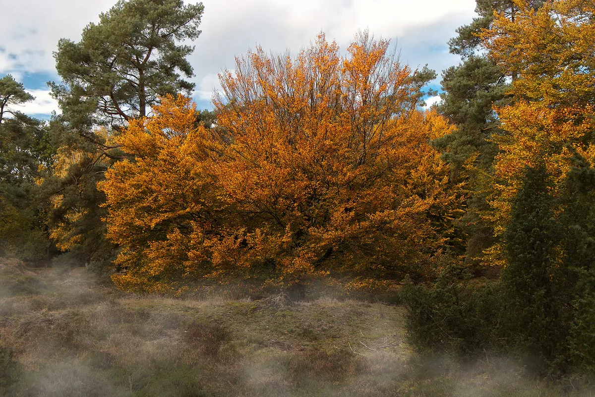
- Best for: easy, flat walking, boardwalks over wet ground, and quiet landscapes.
- Best for: a half-day or full-day outing, rather than a quick photo stop.
- Skip it if: you want big viewpoints, museums or a café on every trail.
What Makes Dwingelderveld Different
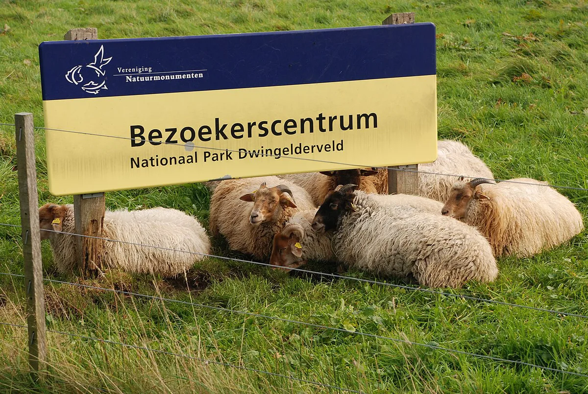
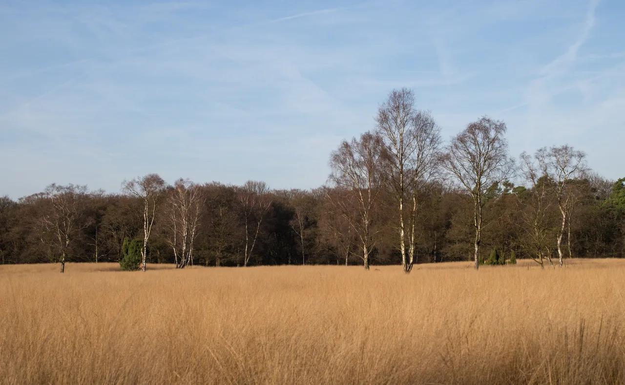
Wet heath is the main draw here. Published descriptions mention more than 60 fens, pingo ruins left by the last glaciation, and the largest juniper thicket in the Netherlands. Sand drifts, Celtic fields and burial mounds show that people used this ground long before the park existed. Sheep still graze the heath to keep it open. For the wider network of parks, the national parks portal is a useful starting point.

Best Walks and Routes in Dwingelderveld
Recorded routes here are flat, with only 10 to 20 m of climbing, so distance and surface matter more than difficulty labels. The park reportedly has over 60 km of paths in total. Treat the figures below as approximate, and match them against the park's own route map before you set off.
| Walk | Approx. distance | Approx. time | Best for | Caveat |
|---|---|---|---|---|
| Spier forest loop | 8 km (5 mi) | 2 h | First visit, forest and boardwalk sections | Starts from the Spier car park |
| Boardwalk loop | 7 km (4 mi) | About 2 h | Beginners and families | Boards can be wet or slippery |
| Plank path, shortened | 10 km (6 mi) | 2.5 h | Views over peat and fen | Section often underwater in winter |
| Autumn walk | 9 km (5.6 mi) | 2.3 h | Autumn colour and mushrooms | Muddy after rain |
| Radio telescope loop | 12 km (7.5 mi) | 3 h | Longer heath walk | Telescope is seen from outside only |
| Forest, heath and fen | 13 km (8 mi) | 3.3 h | Full mix of landscapes | Longest option, few places to stop |
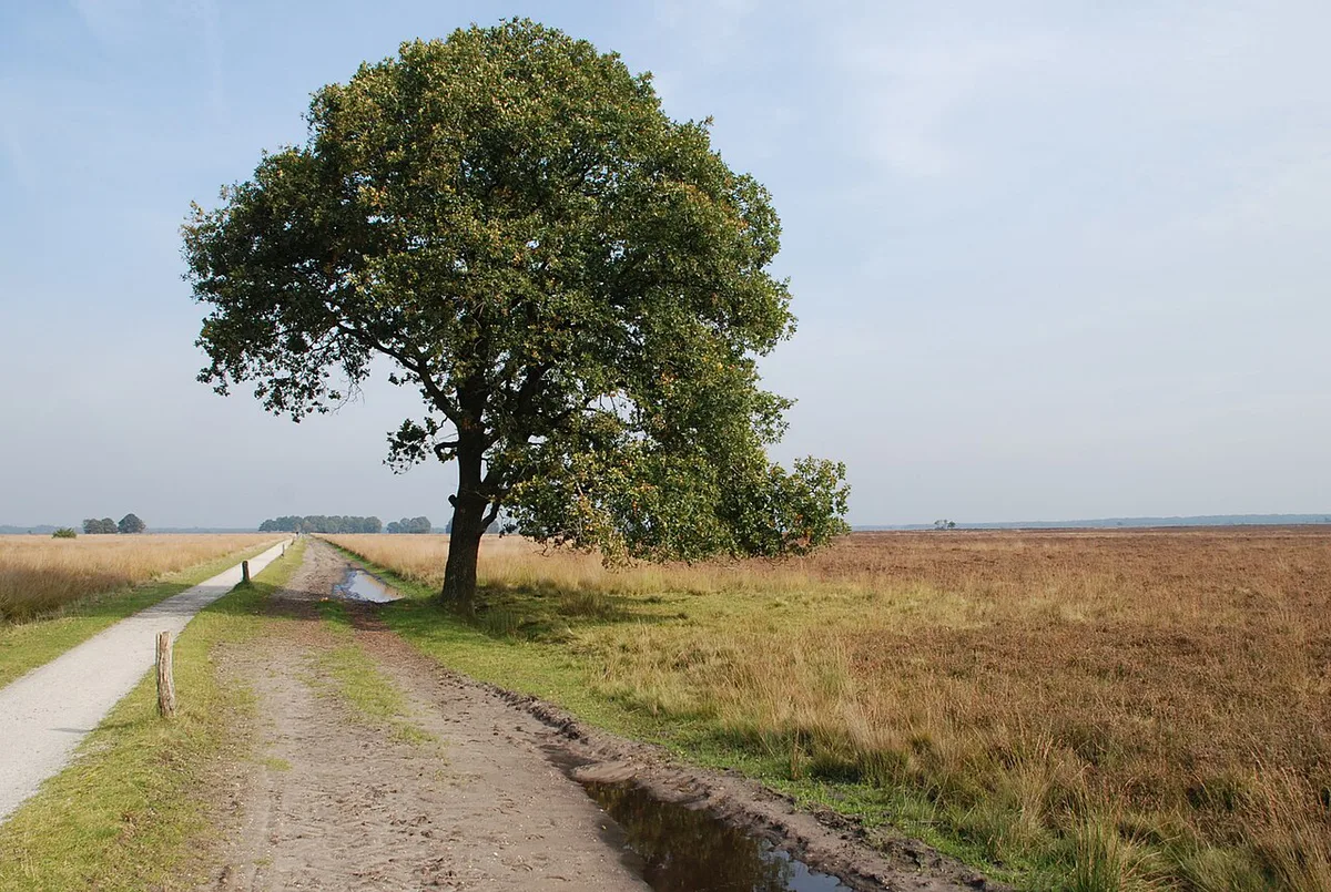
- Boardwalk loop: the easiest way to see wet ground without wet feet. Visitors often rate the plank path among the finest boardwalks in the Netherlands.
- Forest loop from Spier: shaded and varied, with several short boardwalk sections.
- Heath and radio telescope loop: open ground, long sight lines and the Dwingeloo Radio Telescope visible from outside on certain trails.
- Forest, heath and fen: pick this when you want every habitat in one walk.
When to Go
Dwingelderveld works in every season, but conditions change what you should wear and plan. Late summer is the usual heather window, though bloom timing shifts each year. Winter brings the wettest paths, so choose your loop with that in mind.
| Season | What to expect | Plan for |
|---|---|---|
| Spring | Fresh growth, birdsong, wet patches | Waterproof shoes |
| Summer | Long daylight, orchids and butterflies reported | Sun cover, insect repellent, tick checks |
| Late summer to autumn | Heather colour, then mushrooms in the forest | Layers, a longer loop |
| Winter | Quiet trails, sections of boardwalk often underwater | Boots and a shorter route |
Getting There, Parking and the Visitor Centre
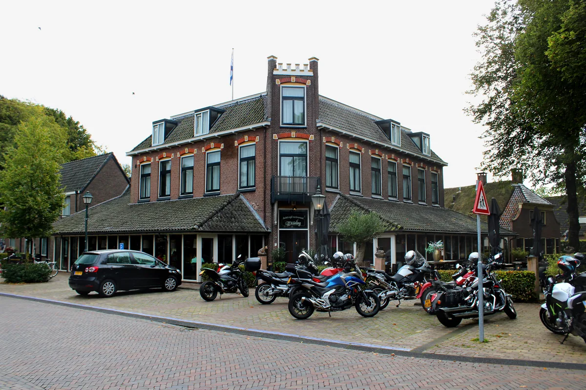
The visitor centre lies near Ruinen and works as a starting point for routes and exhibitions. Spier has its own car park for the forest loop. Visitors report free parking at the visitor centre, but confirm current rules on the official site. Without a car, plan the journey in 9292 or the NS app, then check the last leg to the trailhead. Bike hire in the area is worth asking about locally.
Costs, Hours and Practical Rules
Entry terms, parking fees, opening hours and dog rules are set by the park and its managers. The park's own website is the place to check them before you leave. Avoid these common mistakes on the day:
- Reading app difficulty grades literally. Mountain-style labels say little about flat heath.
- Wearing trainers in wet months. Boardwalks and paths soak through.
- Setting out with no route map or offline map.
- Expecting a café on the trail. Ruinen and Dwingeloo are the places for refreshments.
- Bringing a dog without checking rules. Grazing sheep can mean restrictions.
How Much Time to Plan
Allow about 2 hours for the shortest loops and about 3.3 hours for the longest recorded walk. Add time for the visitor centre and a village stop.
- 2 hours: the Spier forest loop, about 8 km.
- Half day: a boardwalk or plank path walk, plus the visitor centre.
- Full day: the 12 to 13 km heath loops, with lunch in Ruinen or Dwingeloo.
Nearby Places to Combine
These distances are straight-line figures within 60 km, not drive times. Check routes before you commit to a long day. Orvelte is the closest at about 19 km, and Giethoorn follows at about 22 km.
Orvelte is the closest at about 19 km, but a full day already goes to the 12 to 13 km heath loops, so plan the village stop separately.
| Place | Province | Approx. straight-line distance |
|---|---|---|
| Orvelte | Drenthe | 19 km |
| Giethoorn | Overijssel | 22 km |
| Weerribben-Wieden National Park | Overijssel | 25 km |
| De Alde Feanen National Park | Friesland | 48 km |
| Sallandse Heuvelrug National Park | Overijssel | 54 km |
| Fort Bourtange | Groningen | 59 km |
Dwingelderveld vs Other Dutch and Benelux Parks
Dwingelderveld is wet heath, and its appeal is quiet, flat walking. For another large heath and forest park, look at Hoge Veluwe. For a different kind of wet landscape, compare De Biesbosch wetland. Going further afield, Hoge Kempen in Belgium is another heath and forest option. Our overview of the Belgian parks covers that country. These sit far from Drenthe, so treat them as separate trips.
Frequently Asked Questions
Does the Netherlands have any national parks?
Yes. Dwingelderveld in Drenthe is one of them. The national parks portal lists the full network.
Notes for your next park visit
Optional updates to our national park guides.
Read next
Keep planning
Picked from the same area