
Central Balkan National Park: Hikes, Huts & Access Guide
Plan Central Balkan National Park in Bulgaria: main hikes, mountain huts, how to get there, access rules and how it compares to Rila and Pirin.
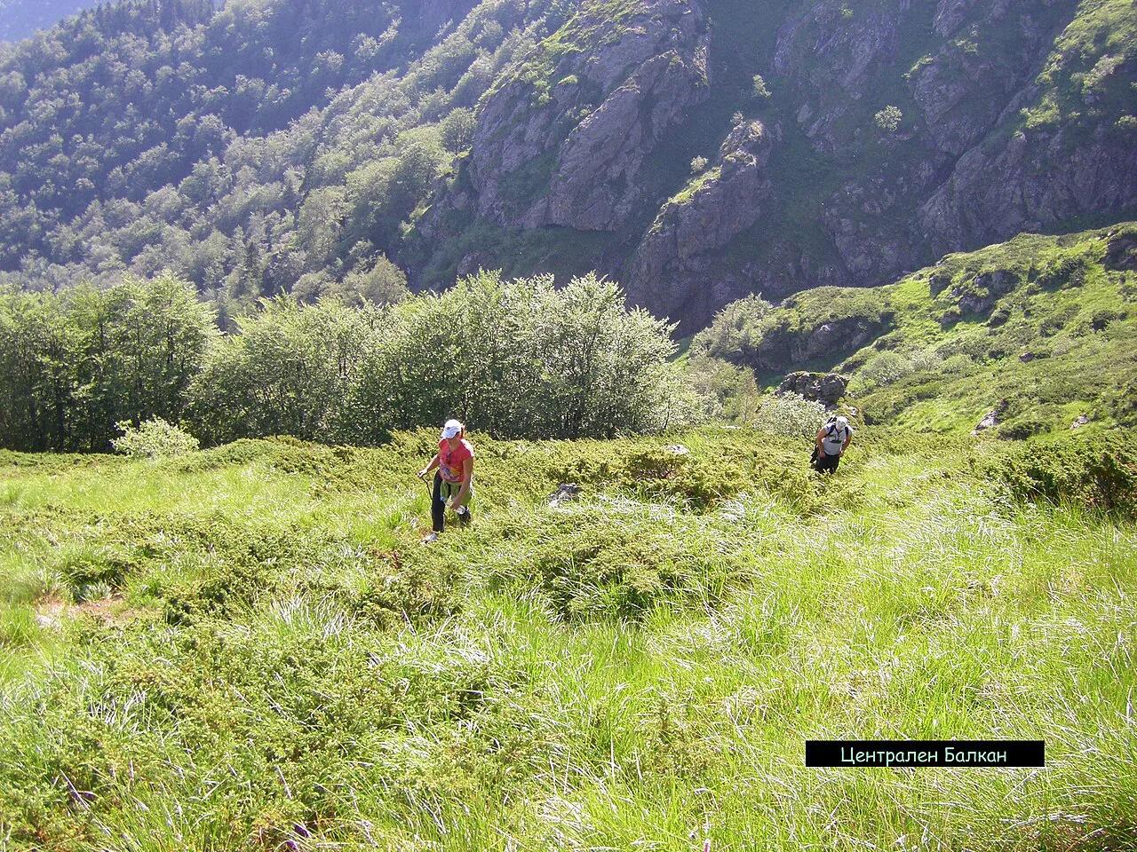
Last updated November 2026: Central Balkan National Park (Централен Балкан) protects part of the Stara Planina, or Balkan Range, in central Bulgaria. It is known for hiking, mountain huts, waterfalls and strict reserves. Among the country's parks, covered in our guide to Bulgaria's national parks, it suits independent hikers best. Below you will find gateways, route ideas, time planning and the access rules to check.
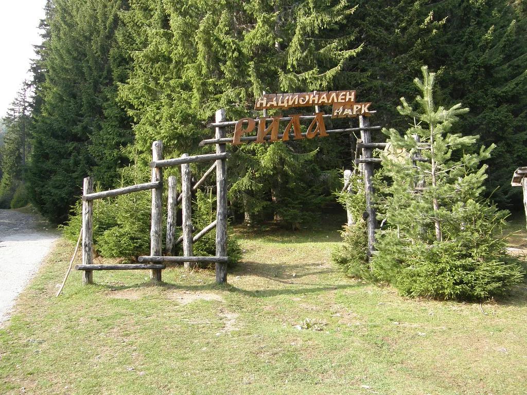
Featured image: Красимир Косев, CC BY 3.0, via Wikimedia Commons.
Central Balkan National Park at a Glance
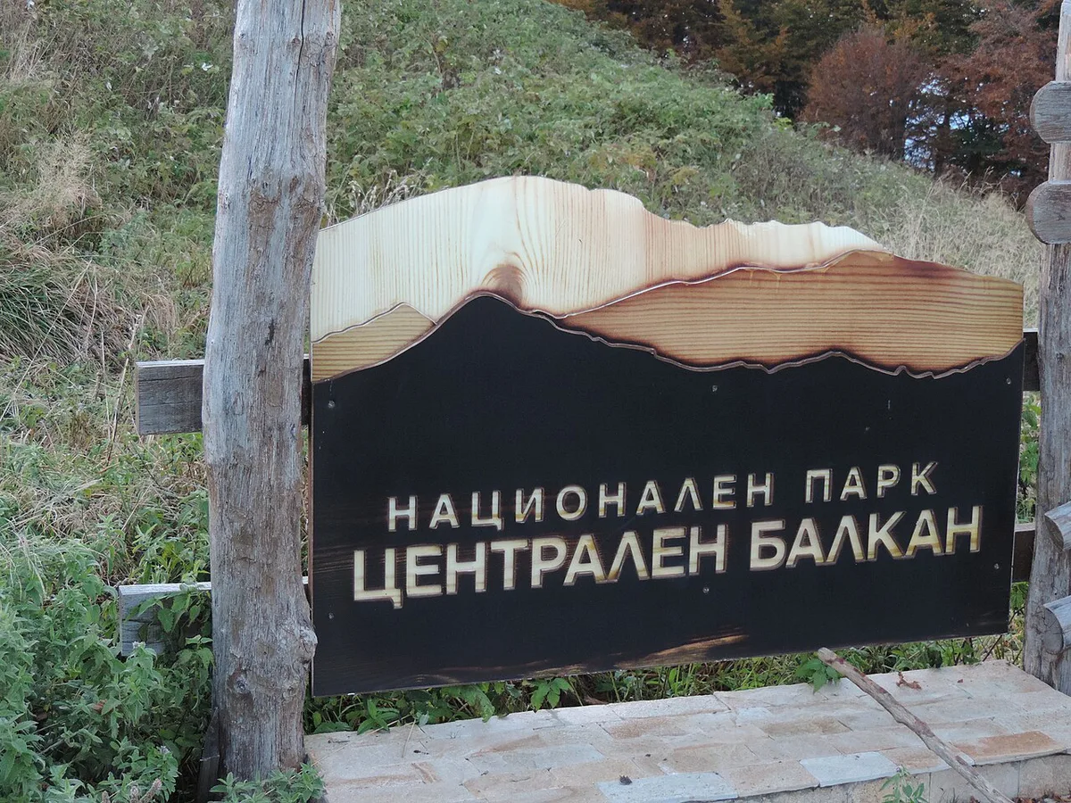
Central Balkan covers a section of the Stara Planina rather than a single valley or peak. It has no single entrance gate. Hikers start from several gateway areas and walk in along marked trails. The park directorate publishes maps and rules on its official park website. Treat that site as the reference for boundaries and reserve zones.
- Location: Stara Planina (Balkan Range), central Bulgaria
- Gateway areas: Karlovo and Kalofer, Apriltsi, Troyan and the Gabrovo area
- Main activities: day hikes, hut-to-hut trekking, waterfalls and peak walks
- Protection: parts of the park are strict reserves with their own rules
- Best fit: independent hikers who are comfortable with remote trailheads
Best Things to Do in Central Balkan National Park
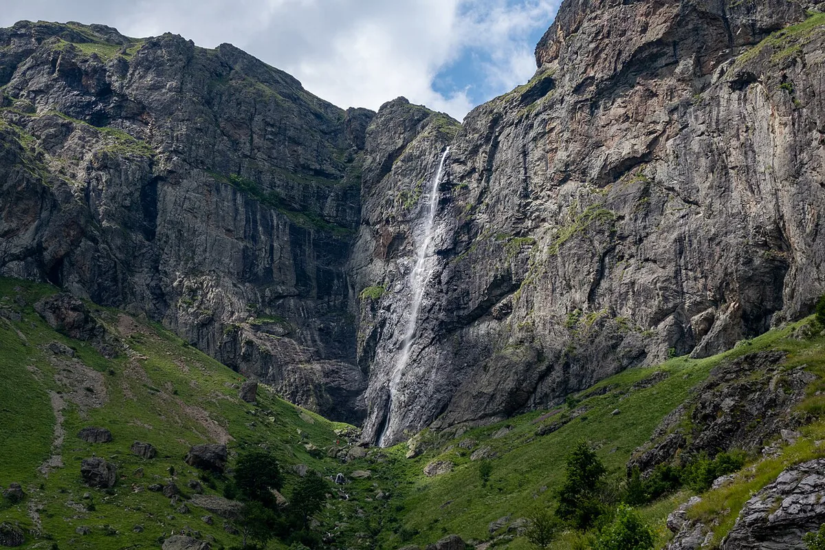
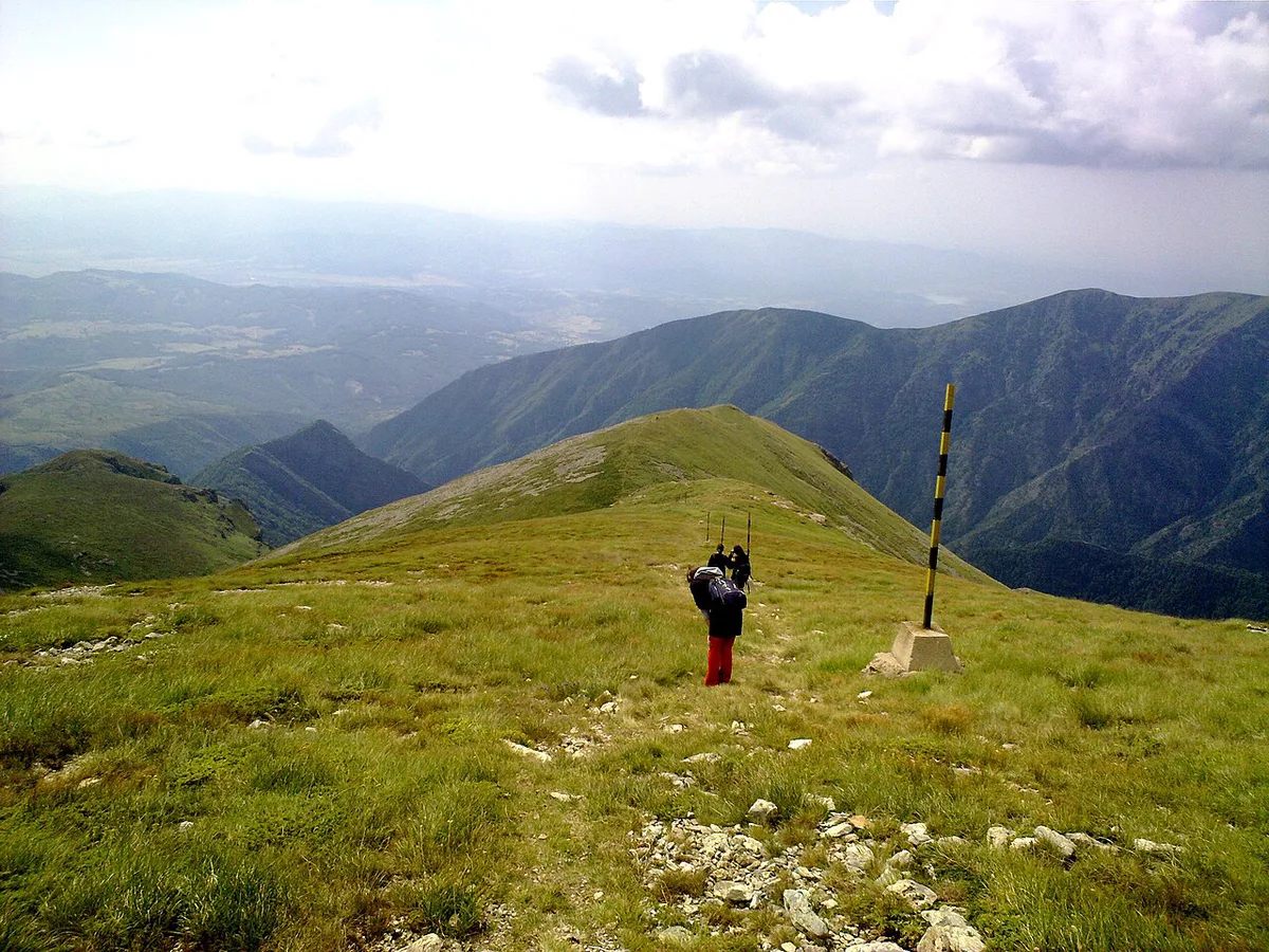
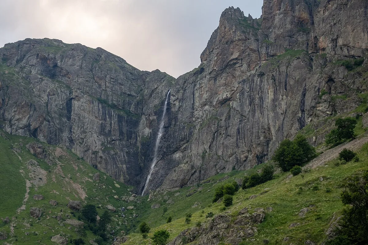
Hiking is the core activity here. Trails link mountain huts, ridge viewpoints and forest paths. Place names that appear on trail maps for the park include Mazalat Hut, Rai Hut and Pleven Hut. Ispolin Peak (1,523 m) and Wolf's Head Peak (1,666 m) are named as peak targets. The Rayskoto Praskalo waterfall is the best-known water feature on those maps. Park maps also mark the Djendema Reserve. A panoramic viewpoint in the Gabrovo region carries an information board about the reserve's flora and fauna. Check each trailhead and its access on the park's official map before you commit to a route. Cycling tours run on the park's margins, but route status varies by operator.
Ispolin Peak (1,523 m) suits a single-day push, because a hut and peak day hike is planned at 1 day.
How Much Time to Plan
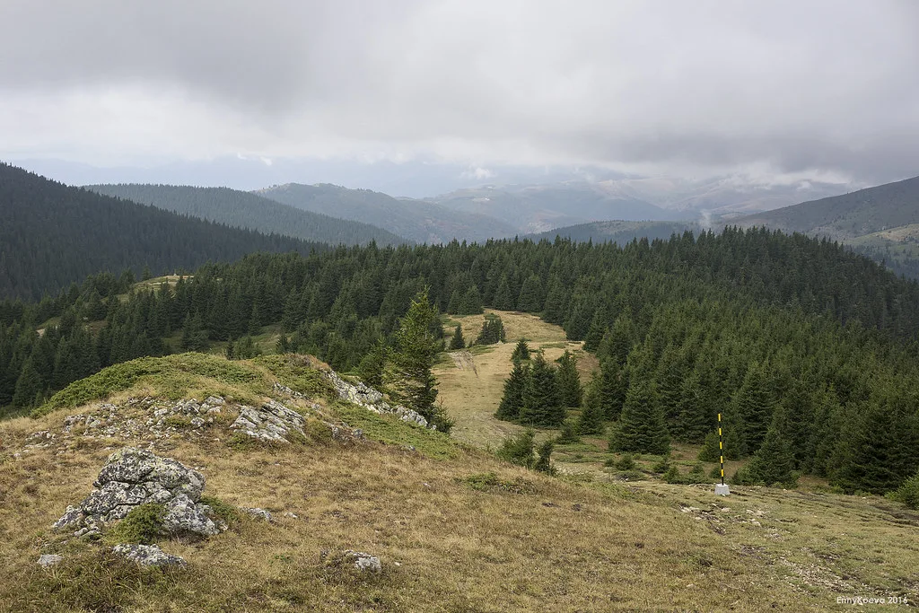
Difficulty depends on the individual route, so judge each trail by its length, climb and surface. Hikers often borrow the Swiss Alpine Club scale as a rough guide to terrain. Allow one full day to reach a hut and return. Allow 2 to 3 days if you link huts into a trek.
| Plan | Time | Best for | Main trade-off |
|---|---|---|---|
| Short walk to a waterfall or viewpoint | Half day | Visitors based in a gateway town | Limited time on the high ridge |
| Hut and peak day hike | 1 day | Fit walkers with a car | Early start and a long return |
| Hut-to-hut trek | 2–3 days | Experienced independent hikers | Packing, hut booking and weather risk |
Getting There and Getting Around
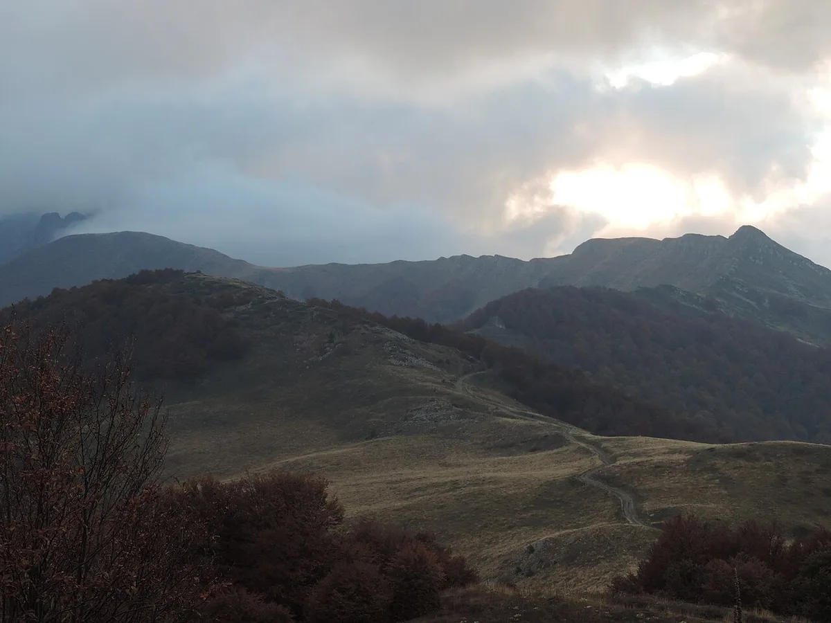
Start by choosing a gateway. Karlovo and Kalofer, Apriltsi, Troyan and the Gabrovo area each open a different side of the mountain. From Sofia, Plovdiv or Veliko Tarnovo, a car gives you the most flexibility. Trailheads can be remote, and public transport to them is limited. Look up the current bus and rail timetables for your chosen town before you plan a car-free trip. Do not assume Rila-style transport links. Your gateway town is usually the end of the regular service. Walking or a local taxi covers the rest.
Costs, Permits and Access Rules
We could not source current entry fees, hut rates or permit rules for 2026. Check them on the park directorate's site and confirm hut prices with each hut directly. Strict reserves restrict access, so stay on marked trails.
Where to Stay: Huts vs Gateway Towns
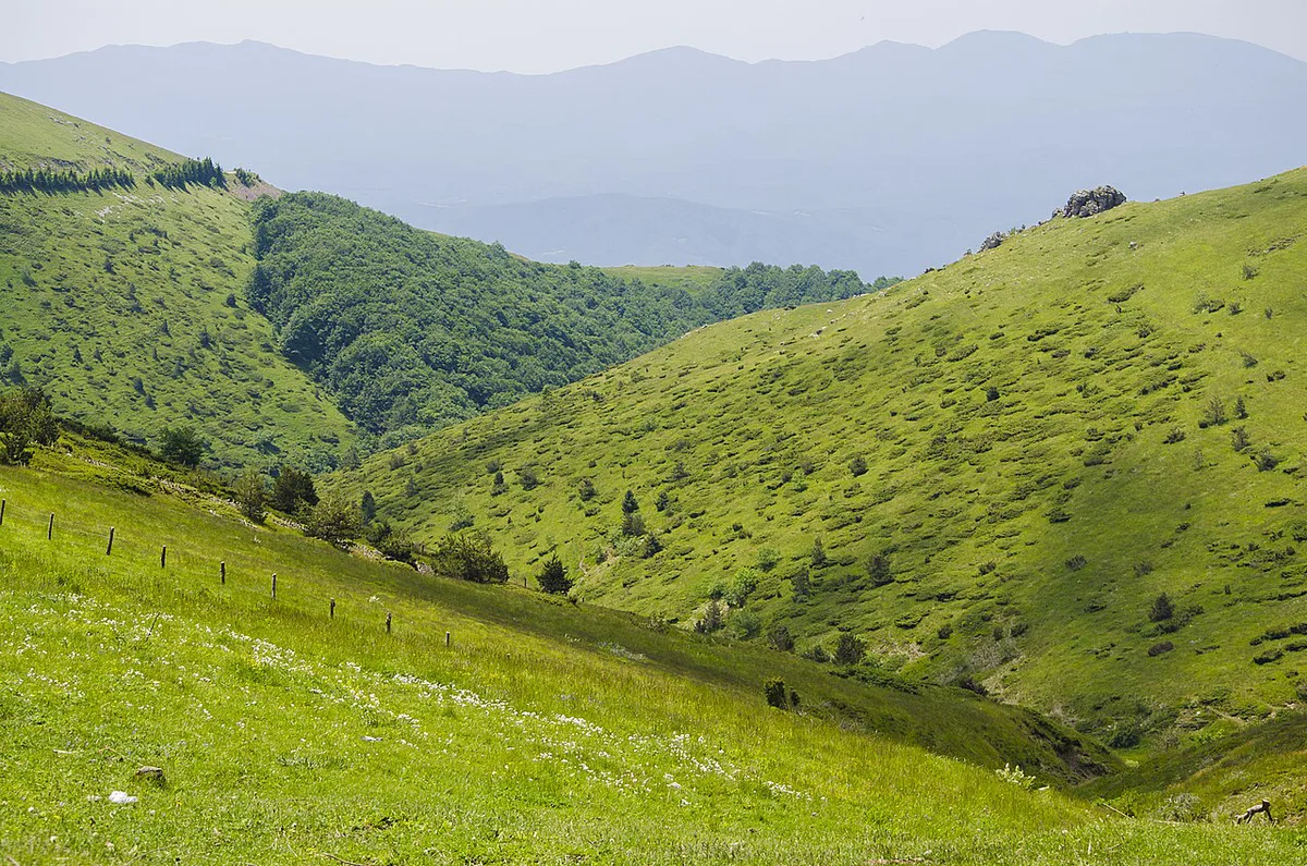
Huts put you on the trail at dawn and shorten summit days. Gateway towns give you proper beds, restaurants and easier transport. Pick huts if you are trekking for 2 to 3 days. Pick a town if you want day hikes from one base. Hut booking methods and seasons differ, so contact each hut before you set off. Bulgaria's official travel portal is a starting point for general accommodation and regional information.
Central Balkan vs Rila vs Pirin
Rila and Pirin are different mountains and different trips. Lakes such as the Seven Rila Lakes: Getting There, Hike Time & Season sit in Rila, not in Central Balkan. For that region, read our Rila National Park guide. The alpine terrain of Pirin is covered in our Pirin National Park guide. Rila's Musala (2,925 m) is the Balkans' highest peak. Central Balkan's peaks are lower, so its appeal lies in remoteness and hut-based trekking. Rila and Pirin directorates publish their own rules at rilapark.bg and pirin.bg.
| Park | Character | Best for |
|---|---|---|
| Central Balkan | Long ridge, huts, forests and reserves | Independent hut-to-hut trekkers |
| Rila | Glacial lakes and the highest peaks | Day hikers who want famous lakes |
| Pirin | Alpine terrain and rocky peaks | Hikers who want high mountain scenery |
Mistakes to Avoid and Who Should Skip It
Mountain weather turns quickly, so carry layers and check the forecast. Distances look short on a map but take longer on mountain paths. Do not assume Rila-style transport or crowds of fellow hikers. Ignoring reserve rules can lead to a fine and damages protected habitat.
- Skip it if you want a short, easy lakeside walk with a chairlift.
- Skip it if you depend on public transport to trailheads.
- Skip it if you are not ready to navigate by map in remote terrain.
Frequently Asked Questions
What is the mountain range in Bulgaria called?
The Balkan Range, called Stara Planina in Bulgarian, runs across the country. Central Balkan National Park protects part of it.
What country are the Balkan Mountains in?
Central Balkan National Park lies in Bulgaria, in the central part of the Stara Planina. Use the park's official map to see where the protected area sits.
Notes for your next park visit
Optional updates to our national park guides.
Read next

Keep planning
Picked from the same area