
Ainos National Park, Kefalonia: Trails and Access
Plan a visit to Ainos National Park on Kefalonia: how to get there, which trails to choose, when to go, and what to know before you hike.
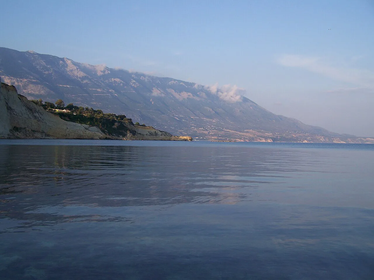
Last updated November 2026: Ainos National Park protects Mount Ainos on Kefalonia, whose 1,628 m summit (about 5,341 ft) is the highest in the Ionian Islands. It is a hiking and forest stop, not a beach day, so plan around weather and a car. Our guide covers access, trail choice and timing, and places the park among the national parks of Greece.
Featured image: Abfab27 at English Wikipedia, Public domain, via Wikimedia Commons.
Ainos National Park at a glance
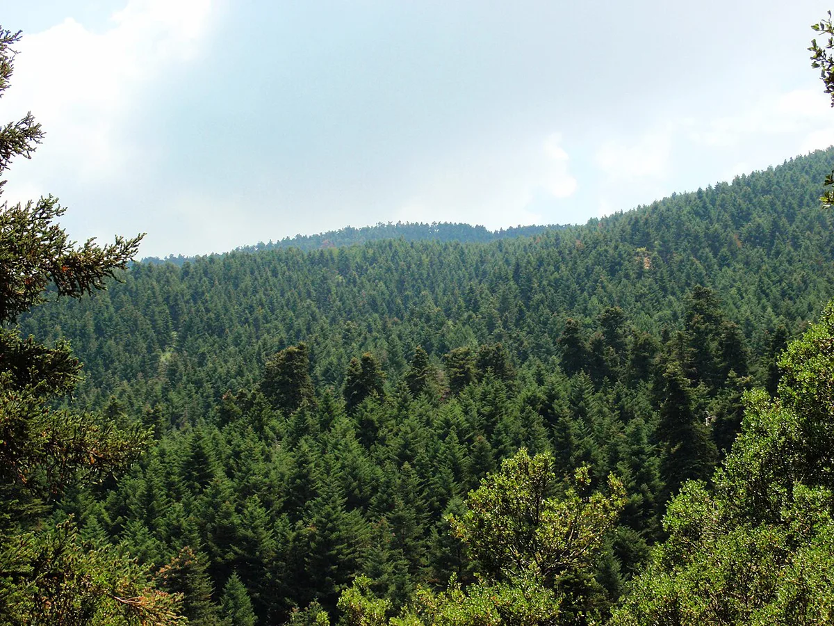
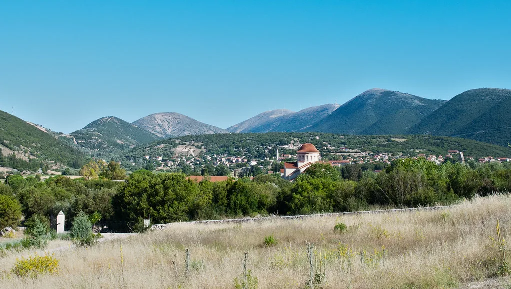
Mount Ainos, also spelled Enos or Aenos, rises in the southern part of Kefalonia. Its summit is called Megalos Soros. The park was designated in 1962 and protects the endemic Kefalonia fir, Abies cephalonica. That dark conifer cover is why the range is often called the Black Mountain. Trail details and rules are published by the park's management body.
- Location: southern Kefalonia, Ionian Islands, Greece
- Summit: Megalos Soros, 1,628 m (about 5,341 ft)
- Designated: 1962
- Best for: forest walks, summit hikes and clear-day views
- Not for: swimming, shopping or a no-car day
How to get to Ainos National Park
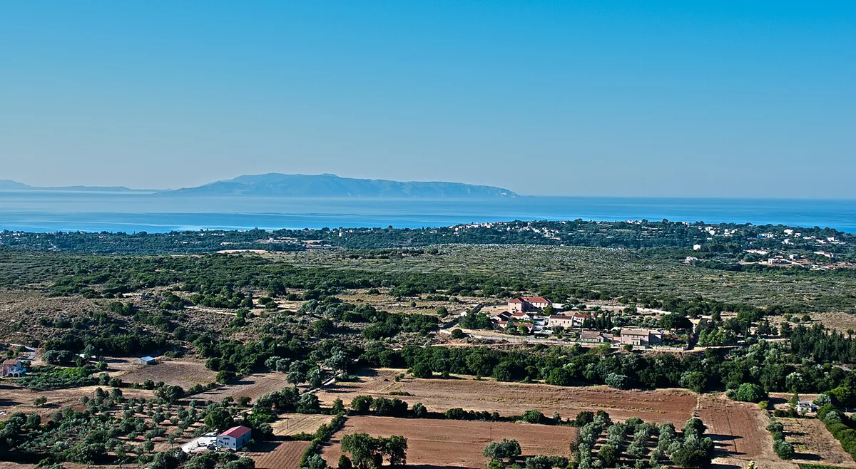
Plan on driving. The access roads are rural, and no public transport to the trailheads is documented. From the road toward Sami, turn toward Digaleto. After about 7 km (4.3 miles) you reach a dirt road. Follow it for about 5 km (3 miles) to the starting point of the paths and a picnic area. Local reports describe this track as drivable in an ordinary car, but road condition changes after rain. Ask your rental company whether its terms cover unpaved roads. Argostoli, Sami and Poros are all workable bases, though journey times vary with your start point.
Fuel and rental make up most costs, yet the dirt road runs about 5 km (3 miles), so confirm your rental terms first.

Which Ainos trail should you choose?
Trails range from a 1.5-hour forest loop to a five-hour summit push. All figures below are approximate, so check current signage at the trailhead. Beginners should start with Chionistra, a loop of about 6 km (3.7 miles). Strong walkers aiming for the top should pick Digaleto or Kissos.
| Trail | Approx. time | Level | Best for |
|---|---|---|---|
| Chionistra loop (about 6 km) | 1.5 h | Easy | Families, casual walkers |
| Melissia | 1.5 h | Not rated | Dense fir forest |
| Vlachata, from Arias peak | 1.5 h | Medium | Views over the Ionian Sea |
| Kissos, via Petasi and Nyfi caves | 4 h | Moderate to demanding | Summit hikers who like caves |
| Digaleto to Megalos Soros | 5 h | Demanding | Full summit day |
When to go and what to bring
Pick a clear day. At 1,628 m, cloud can erase the summit views that justify the climb. Summer heat is a concern on exposed sections, and wind rises with altitude. Winter weather may affect access, so check the park's site for closures and fire-risk notices before setting out. Bring these items:
- Water, since fir forest does not mean a water source on every trail
- Layers for a cooler, windier summit
- Sun cover for open ridges
- An offline map, because phone signal on the mountain is not guaranteed
- Closed shoes with grip for the dirt track and paths

Wildlife and forest: what you might see
The Kefalonia fir forest is the main draw, with aromatic herbs and wildflowers beneath it. Birds use the mountain as a seasonal stopover. Wild horses live on the mountain, and walkers report seeing them near a water source close to the ruins of a Pygi sanctuary. Treat any sighting as luck, not a promise. Keep your distance and never feed them.
Time, cost and access trade-offs
A short loop such as Chionistra fits into a half day, including the drive. The Digaleto summit route is a full day at about 5 hours of walking alone. Costs are mostly fuel and car rental. No entry fee or gate hours are listed in our sources, so check the park's official site for current rules. A scenic drive to the picnic area costs less effort than hiking, but it skips the summit.
Who should skip Ainos, and what to do instead
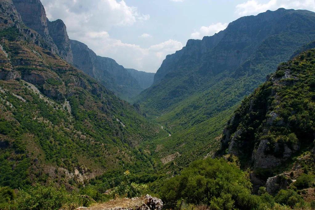
Skip Ainos if your trip is beach-only, you have no car, or the forecast shows low cloud. It also suits poorly if you have under 3 hours free. The mainland offers easier logistics for walkers. Try the stone villages and gorge paths of Zagori for a hiking day.
Ainos vs other Greek national parks
Ainos is an island mountain park with a single fir forest and one main summit. Mainland parks are larger and more varied. Mount Olympus National Park, Greece: Hikes, Access & Planning offers Greece's most famous peak. Vikos-Aoos National Park centers on a deep gorge. Parnitha National Park: Hikes, Getting There & Planning sits close to Athens, and Prespa National Park, Greece: Visitor Guide (Small Prespa, Wildlife, Access) protects lake wetlands. For a coastal contrast, see Sounion National Park: Temple of Poseidon & Visit Guide. Compare them all in our ranking of Greece's national parks.
For trip-planning details, see Visit Kefalonia, official tourism.
Frequently Asked Questions
Where is Mount Ainos located?
Mount Ainos is in the southern part of Kefalonia, in the Ionian Islands. Its summit, Megalos Soros, reaches 1,628 m. It is the highest point in the Ionian Islands.
Does Greece have national parks?
Yes, Greece protects several mountain, wetland and coastal areas as national parks. Ainos is one of the island examples. Our guide to Greece's national parks lists the others.
Notes for your next park visit
Optional updates to our national park guides.
Read next

Keep planning
Picked from the same area