
Mount Olympus National Park, Greece: Hikes, Access & Planning
Plan Mount Olympus National Park in Greece: Litochoro base, Enipeas Gorge and Mytikas summit hikes, seasons, access and trade-offs.
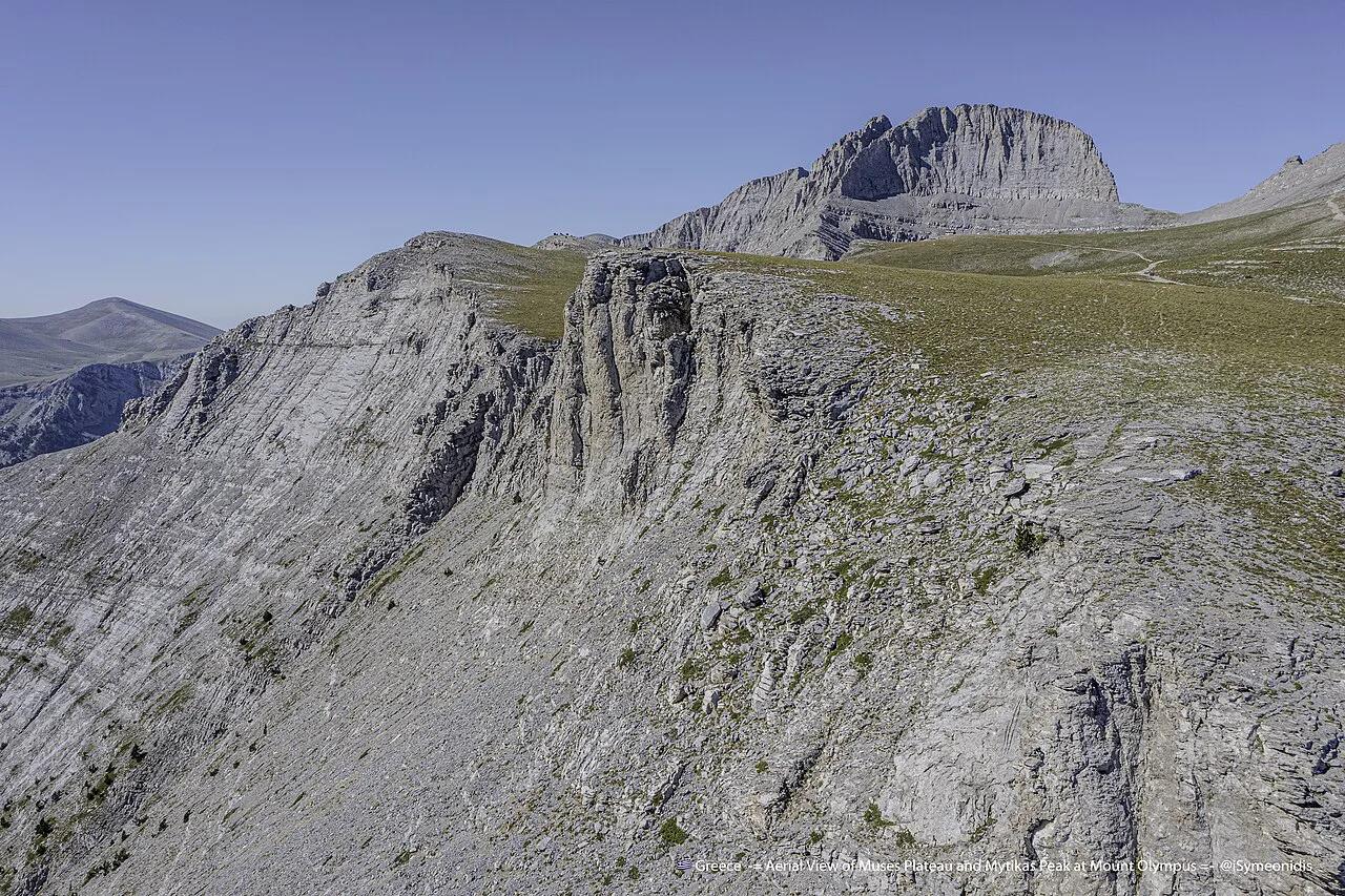
Last updated November 2026: Mount Olympus National Park is Greece's first national park, established in 1938 around the Olympus massif above Litochoro. Day hikers, summit climbers and mythology-minded visitors each need a different plan. This guide sorts them by route, season and base.
Featured image: Isymeoni, CC BY-SA 4.0, via Wikimedia Commons.
Mount Olympus National Park at a glance
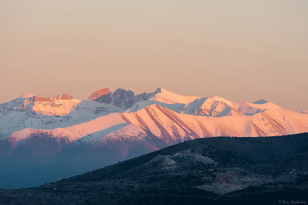
This guide covers the Greek mountain and park, not Olympic National Park in Washington State. Greece's first national park dates to 1938 and protects the Olympus massif above Litochoro. It is one of several protected areas in our guide to Greece's national parks. Day hikers will want the Enipeas Gorge, summit climbers the high refuges and Mytikas, and culture visitors the sites at the foot of the mountain. Mythology adds a second layer, since Greek tradition places the home of the gods here. Trail and refuge updates come from the park's management body.
- Designation: Greece's first national park, 1938
- Base town: Litochoro
- Key places: Enipeas Gorge, Prionia trailhead area, Mytikas
- Official information: the park's management body
Where Mount Olympus National Park is and how the area is laid out
The park sits in northern Greece on the border of Pieria and Thessaly, where the Olympus massif rises almost straight from the Thermaic Gulf. The sea is only a few kilometres from the foot of the mountain, so a single day can combine a beach, a village and a high-alpine ridge.
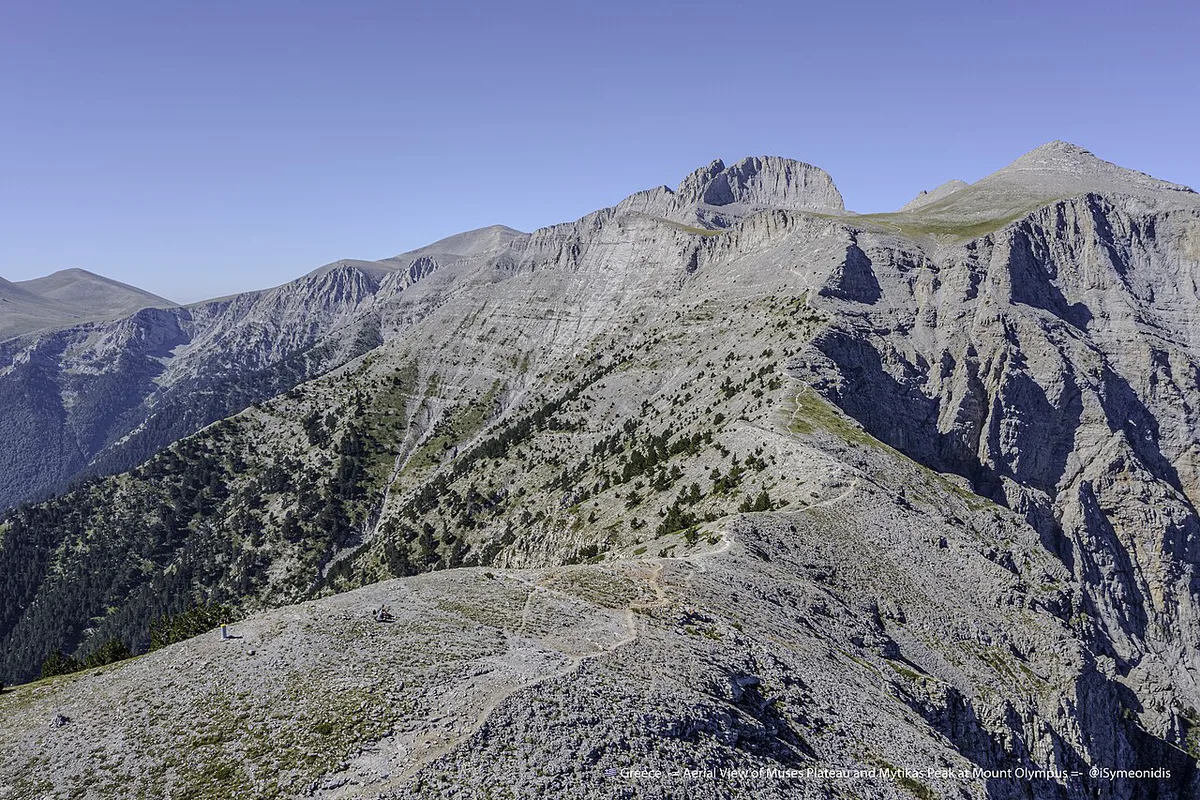
- Highest point: Mytikas, at roughly 2,918 m, the highest peak in Greece.
- Gateway town: Litochoro, on the eastern side of the massif and close to the sea.
- Main trailhead: Prionia, reached by a mountain road of roughly 18 km from Litochoro.
- Nearest big city: Thessaloniki, about 90 km to the north-east. Allow around one hour by car.
- From Athens: roughly 440 km by road, so about four and a half to five hours by car.
Most visitors approach from the east, via the Litochoro exit of the main Thessaloniki-Athens motorway. The mountain's other flanks are reached by smaller roads and have far fewer services. Distances and driving times here are approximate. Check a current map and the road status before you set out, especially outside summer.
Think of the area as three bands. The coast and Dion form the low, warm strip. Litochoro and the Enipeas Gorge form the middle band at the mountain's foot. Prionia, the refuges and Mytikas form the high band, where weather and snow set the rules.
Choose your Olympus: day hike, summit or culture stop
Decide on your plan before you book beds or transport. The table sorts the three common visitor types by effort, season and base.
| Traveler | Plan | Effort | Best base |
|---|---|---|---|
| Day hiker | Enipeas Gorge from Litochoro, returning the same day | Moderate walking on mountain paths | Litochoro |
| Fit summit hiker | Prionia, a refuge night, then Mytikas | Mountaineering-grade final section, high altitude | Refuge, with Litochoro before and after |
| Mythology and culture visitor | Dion and the Pieria coast, with a short mountain walk | Light | Litochoro or the coast |
Getting to Litochoro and the trailheads
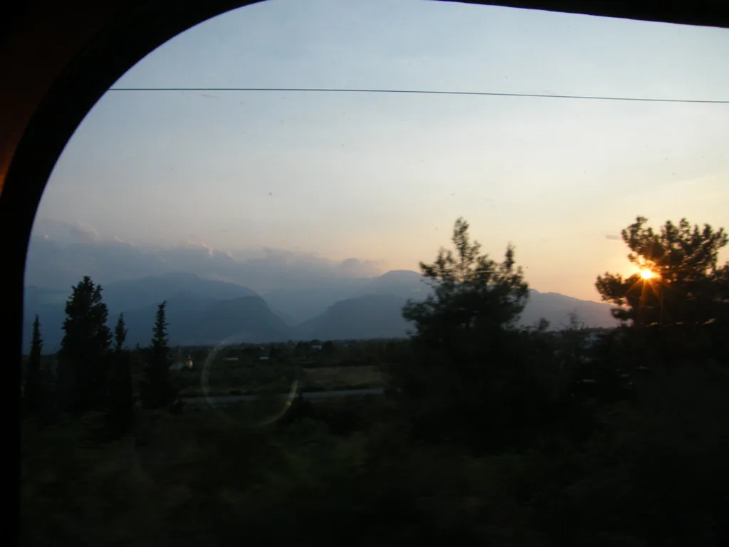
Litochoro is the usual gateway, and our Litochoro town guide covers the town itself. Most visitors arrive from Thessaloniki or Athens. Onward connections by bus, rail or car change often, so check current timetables with the operators. Prionia is the trailhead area where the road ends and the main paths toward the refuges begin. Reaching it from Litochoro is the key transfer on any Olympus plan. Without a car, ask locally about taxis and seasonal road status before you commit to an early start.
Hiking Enipeas Gorge and Prionia
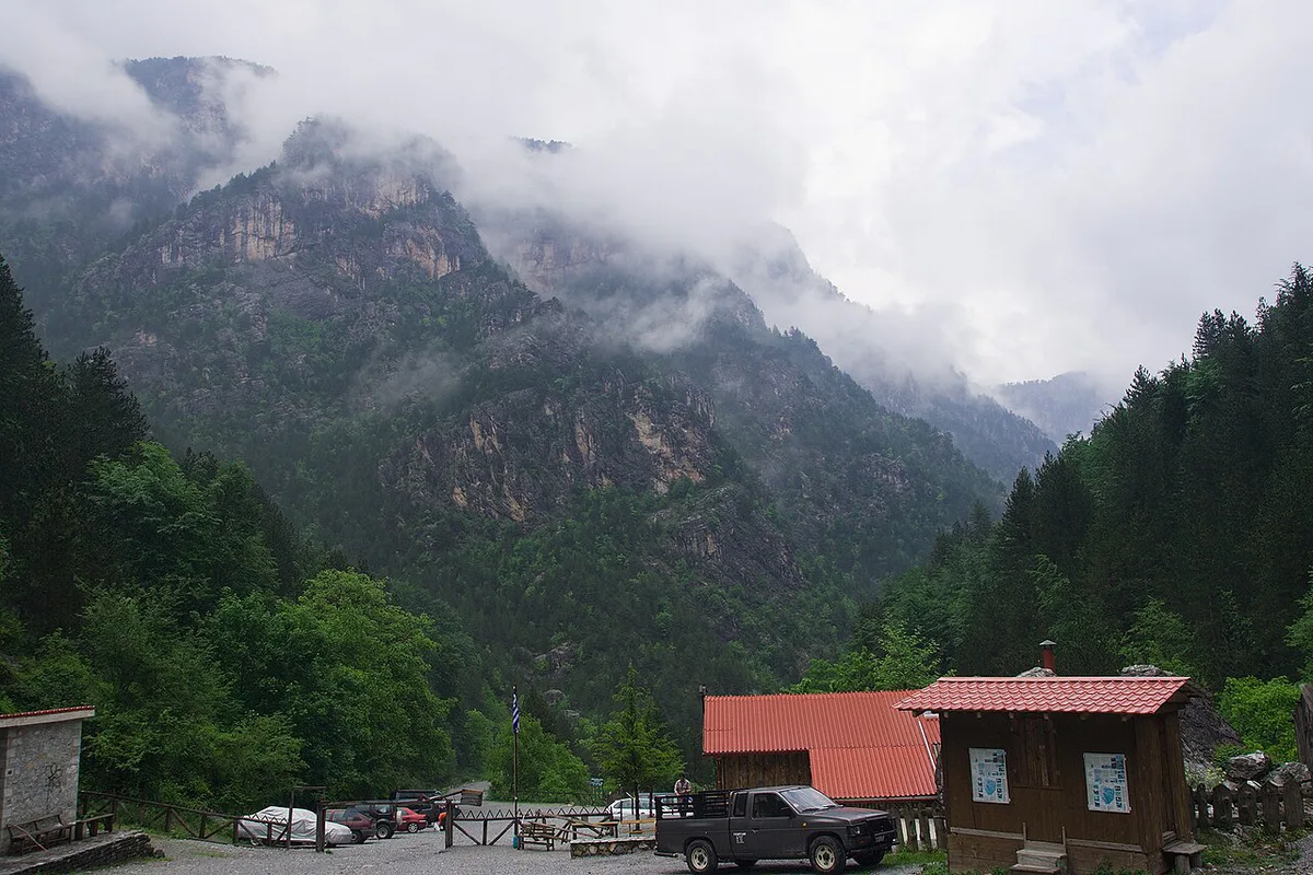
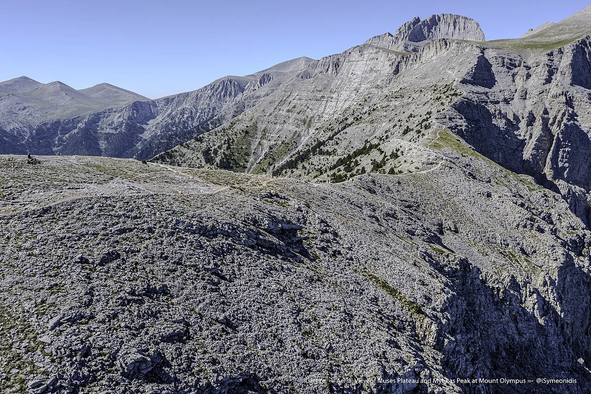
Enipeas Gorge is the classic walk from Litochoro, following the river Enipeas into the mountain. It suits day hikers who want forest, rock walls and running water without a summit attempt. Prionia serves a different purpose. Paths from there climb toward the refuges and the high ridges. Both routes reward an early start and plenty of water.
- Wear proper hiking footwear, not trainers.
- Carry water and food for the whole day.
- Check the forecast and trail status before you leave Litochoro.
- Tell your accommodation which route you are taking.
Climbing toward Mytikas: what you need to know
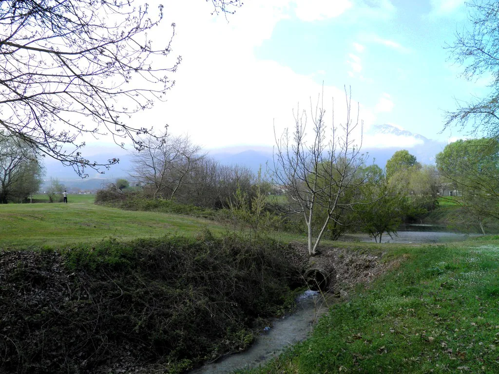
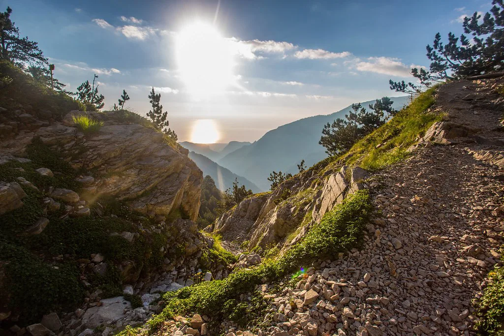
Mytikas is the summit of Olympus, and the final approach is mountaineering-grade rather than a simple walk. Exposure, loose rock and fast-changing weather all matter. A guide is wise if you have no scrambling experience. Treat the refuge as part of the plan, because most summit attempts split the climb across two days. Use this checklist before you commit.
- Refuge status and booking confirmed with the operator.
- Forecast checked for wind, cloud and storms.
- Warm layers, a helmet-ready mindset and sturdy boots packed.
- A turnaround decision made in advance, before you start climbing.
- A guide arranged if scrambling is new to you.
When to go: season, weather and closures
Snow controls the high mountain for much of the year, and refuges open only in their operating season. Summer brings heat in the lowlands and cold, changeable weather on the summit ridges. Shoulder months can be quieter, but snow may still block the upper route. Gorge walks are less sensitive to altitude weather than summit attempts. Confirm refuge dates and trail conditions with the official park site before you travel.
Costs, permits and booking
No verified figures for park entry, refuge beds or guide fees are published here. Check current rates with Greece's protected-areas agency and the refuge operators.
Where to stay: Litochoro vs refuges vs coast
Litochoro puts you closest to the gorge and the Prionia road, and it has the most services. A refuge saves hours on summit day but needs advance booking and carrying your own kit. The Pieria coast suits mixed itineraries with Dion. It adds driving before any early mountain start. Pick the base that matches your earliest departure, not the nicest view.
Pair it with Dion and other Greek parks
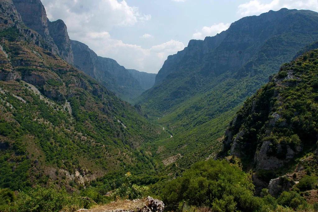
Dion sits at the foot of the mountain, and the Dion-Olympos municipality publishes local visitor information. It adds the archaeological and mythological side to a hiking trip. For another mountain park, read our Vikos-Aoos gorge guide. Readers who want a wider mountain region can try the villages of Zagori. To compare all options, see our ranked Greek park roundup.
Accessibility on Olympus: what is realistic for limited mobility
Olympus is a mountain park, and its hiking routes are not step-free. The Enipeas Gorge path and the trails from Prionia run over rock, roots and uneven ground, with steps and some exposed sections. Wheelchair users and anyone who cannot manage rough terrain should not plan on the main trails.
You can still experience the area by choosing lower-effort stops:
- Litochoro: the town itself has cafes, shops and views up toward the massif. The streets are on a slope, so expect some gradients.
- Dion: the archaeological site at the foot of the mountain is far flatter than any trail and works as a mythology stop. Surface conditions and access routes vary across the site, so ask the site staff what suits your needs before you visit.
- The Pieria coast: beaches and seafront promenades give the easiest ground in the region, with views back to the massif on clear days.
- Driving up toward Prionia: the road gives a sense of the mountain's scale without a hike, although you should find out whether it is open and look at the weather first.
For walkers with moderate mobility, a short out-and-back on the lower gorge path is more realistic than a full route. Turn around whenever the ground becomes uncomfortable. Carry water, wear boots with good grip and tell your accommodation where you are going. Facilities on the trails are minimal and mobile signal can drop out.
Official accessibility details for visitor facilities are not consistently published, so contact the park's management body and your accommodation before you travel.
Common mistakes and safety
Most Olympus problems come from late starts, thin planning and underestimating altitude. Mobile signal can disappear in the gorge and on the upper mountain.
- Starting late and running out of daylight.
- Attempting Mytikas without checking refuge status and the forecast.
- Underestimating cold, wind and storms above the treeline.
- Carrying too little water.
- Relying on phone signal for navigation.
Notes for your next park visit
Optional updates to our national park guides.
Read next

Keep planning
Picked from the same area