
Pelister National Park: Hikes, Access and Planning
Plan a trip to Pelister National Park in North Macedonia: peak hike, easy Molika forest walks, access from Bitola, seasons and practical tips.
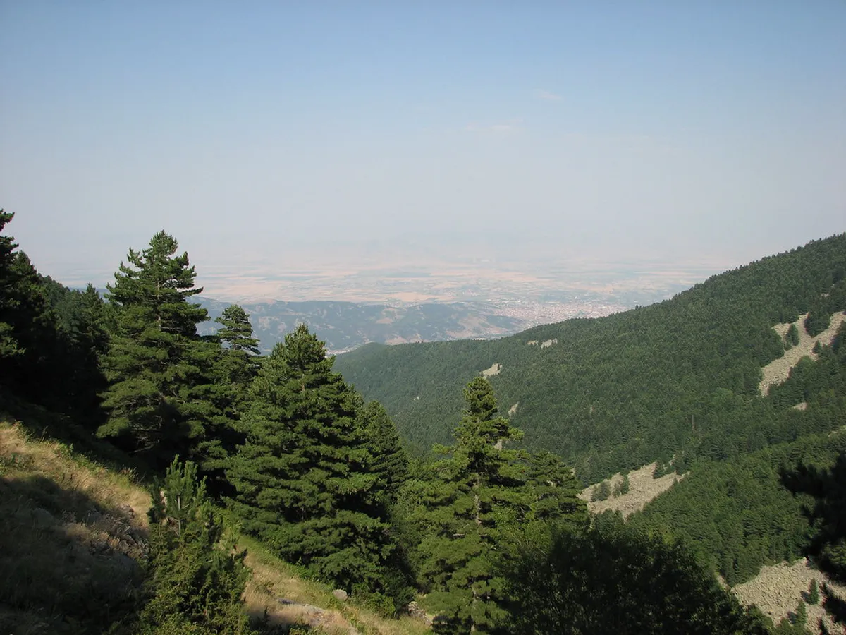
Last updated November 2026: Pelister National Park rises above Bitola in southwestern North Macedonia and tops out at 2,601 m (8,534 ft). Molika pine forests cover its lower slopes, and the glacial Big Lake and Small Lake sit higher up. Use this guide to choose between the full peak hike and gentler forest walks, and to plan access, seasons and border rules.
Featured image: markovskavesnicka, CC BY-SA 2.0, via Flickr.
Pelister National Park at a glance
Pelister covers the northern side of Baba Mountain, between the Pelagonija valley to the east and the Prespa valley to the west. Park land spans altitudes from about 900 m to 2,601 m. It was proclaimed on 30 November 1948 and covers about 17,000 ha. Malovishta is the only village inside the boundary.
- Highest point: Pelister peak, 2,601 m (8,534 ft).
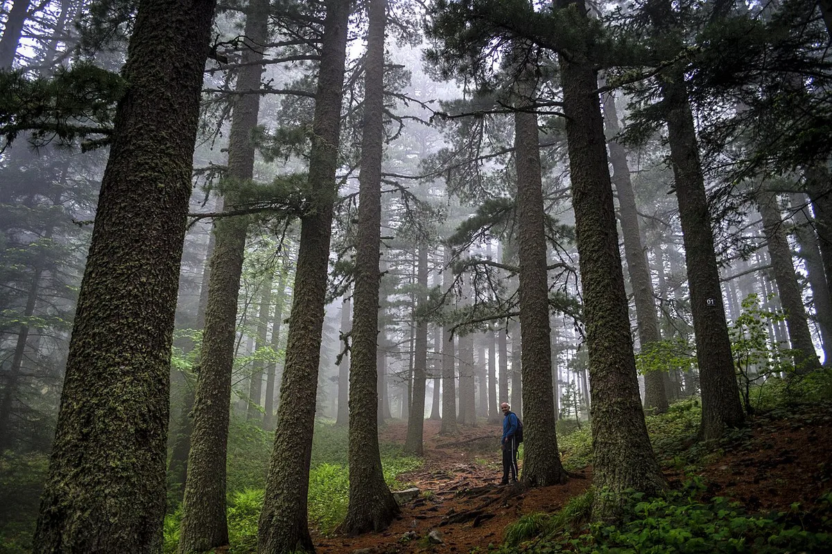
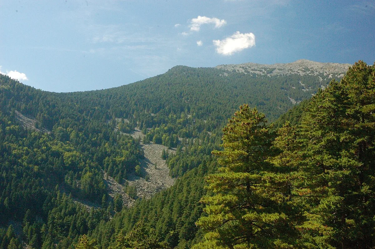
- Signature tree: Molika pine (Pinus peuce), with some trees said to be over 230 years old.
- Peaks above 2,000 m: 35 along the Baba massif.
- Municipalities: Bitola and Resen.
- Border: Greece lies directly south of the park.
Is Pelister worth visiting?
Pelister suits walkers who want real mountain terrain without leaving a city base. Bitola is the nearest large town, so a forest walk fits into a single afternoon. Strong hikers get a full-day summit route with views across Prespa Lake. Skip the summit if you have weak knees, a late start or unsettled weather. Visitors who only want lakeside scenery will find the Prespa and Ohrid shores easier to reach. For a wider comparison, see our Balkan national parks overview.
How to get to Pelister National Park
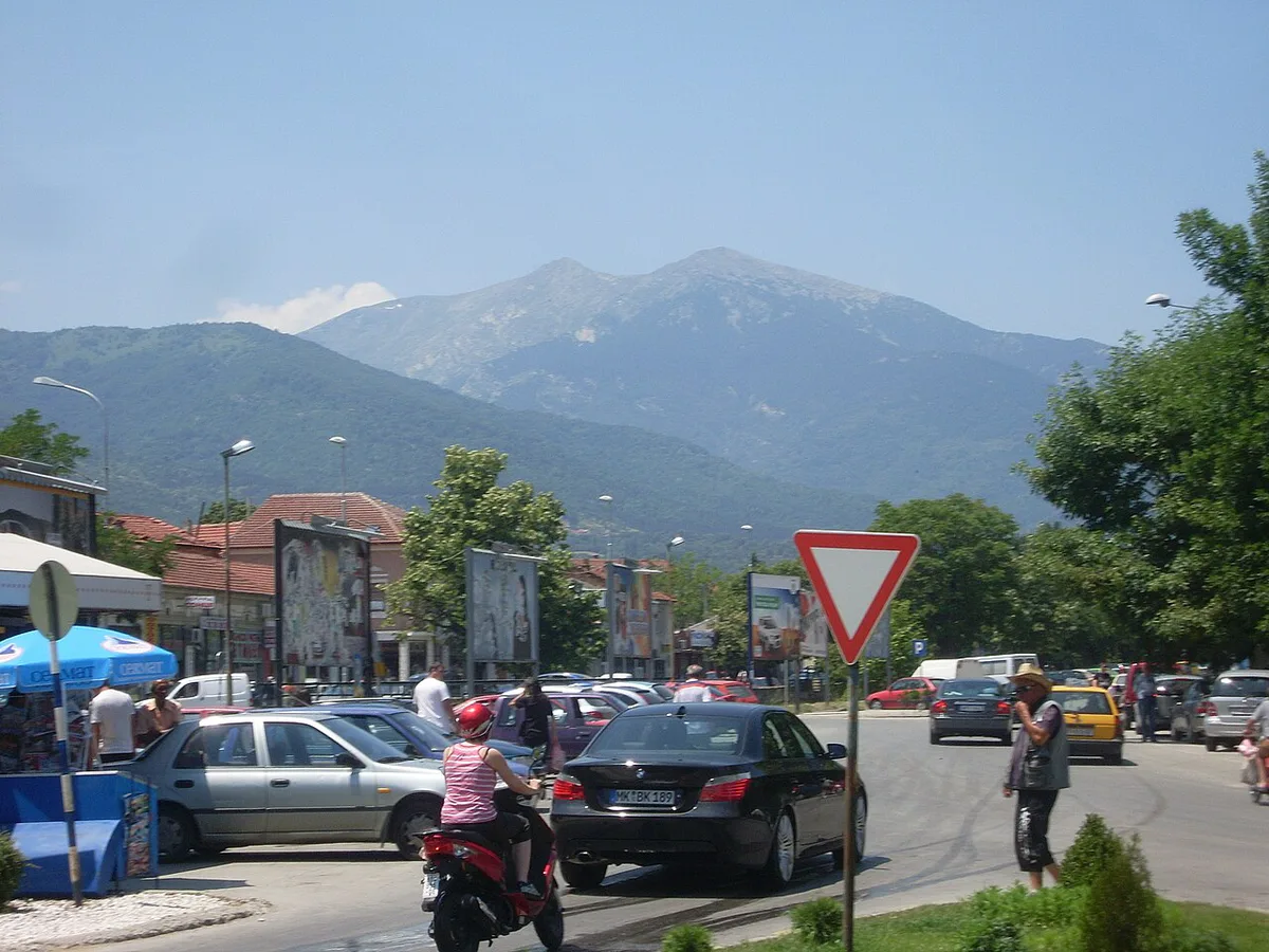
Bitola is the practical gateway. The park's info center sits at 1,360 m (4,462 ft), and the peak route starts there. Resen, on the Prespa side, is the other access town. A regional road links Bitola and Resen along the park's northern edge. Driving gives the most flexibility for early starts. Taxis from Bitola are the simple option without a car. Ask the driver to agree a return time before you set off. Coming from Skopje or Ohrid, plan to reach Bitola first and treat the park as a separate half-day or full-day outing. Journey times change with road works and season, so check current routes before you leave. The official park site at pelister.org lists contact details for access questions.
Best time to visit
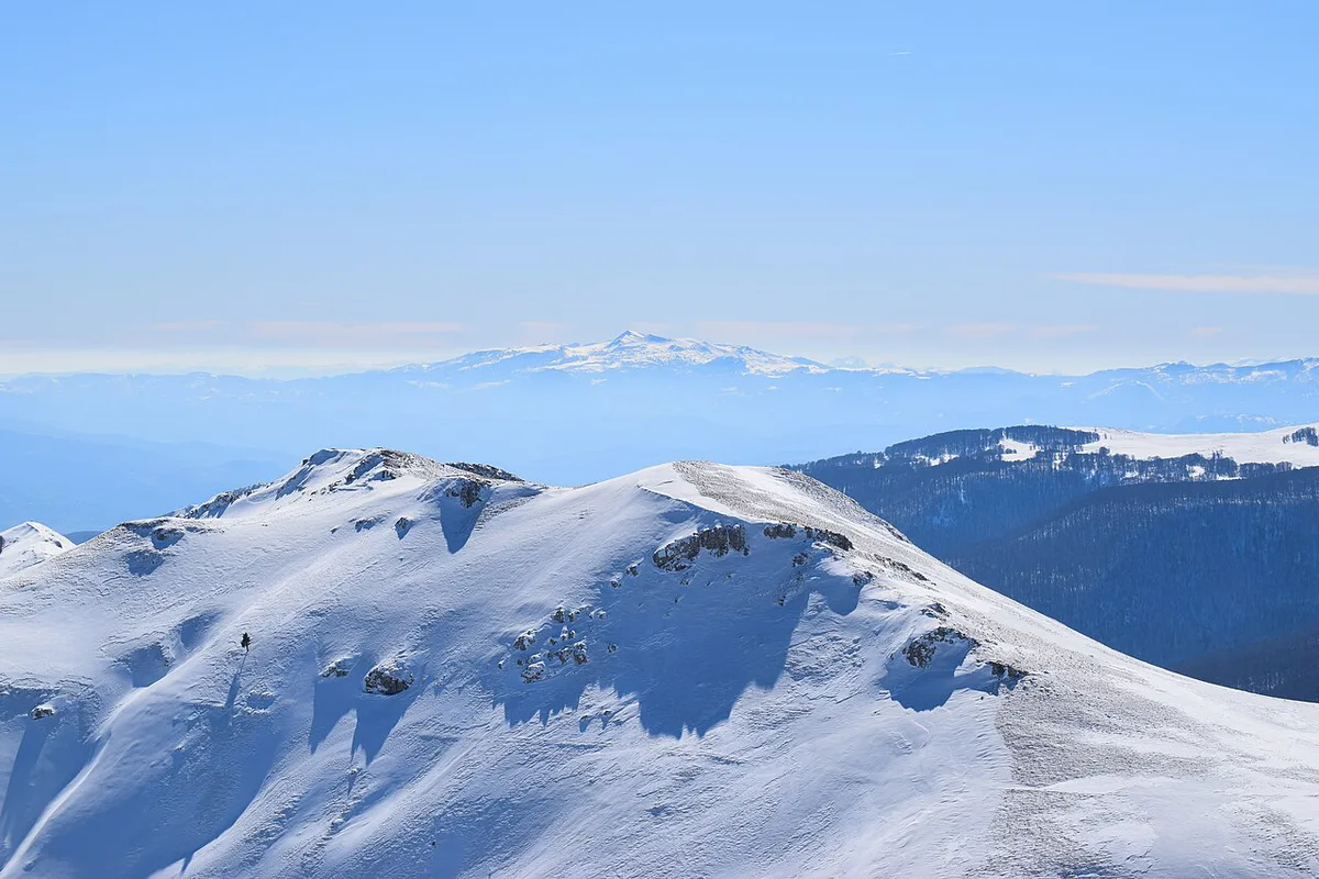
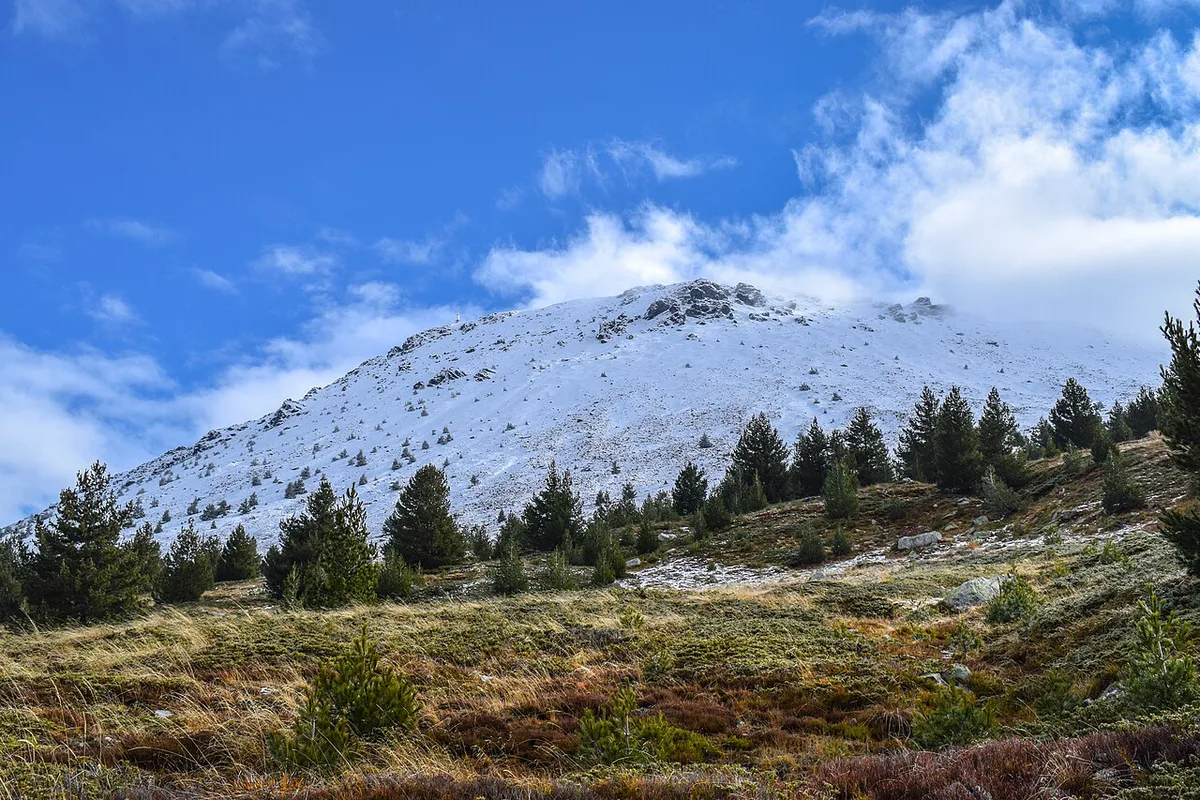
Late spring to early autumn gives the most reliable access to the high ground. Spring and summer bring wildflowers to the meadows, and the park is known for butterflies found nowhere else. Snow can linger on upper slopes well into the warm months, so check conditions with the park before a summit attempt. Shoulder seasons suit forest walks, since the Molika woods lie below the exposed ridgeline. Winter turns the peak route into a mountaineering objective, and the park has no published beginner winter itinerary.
Hiking to Pelister peak
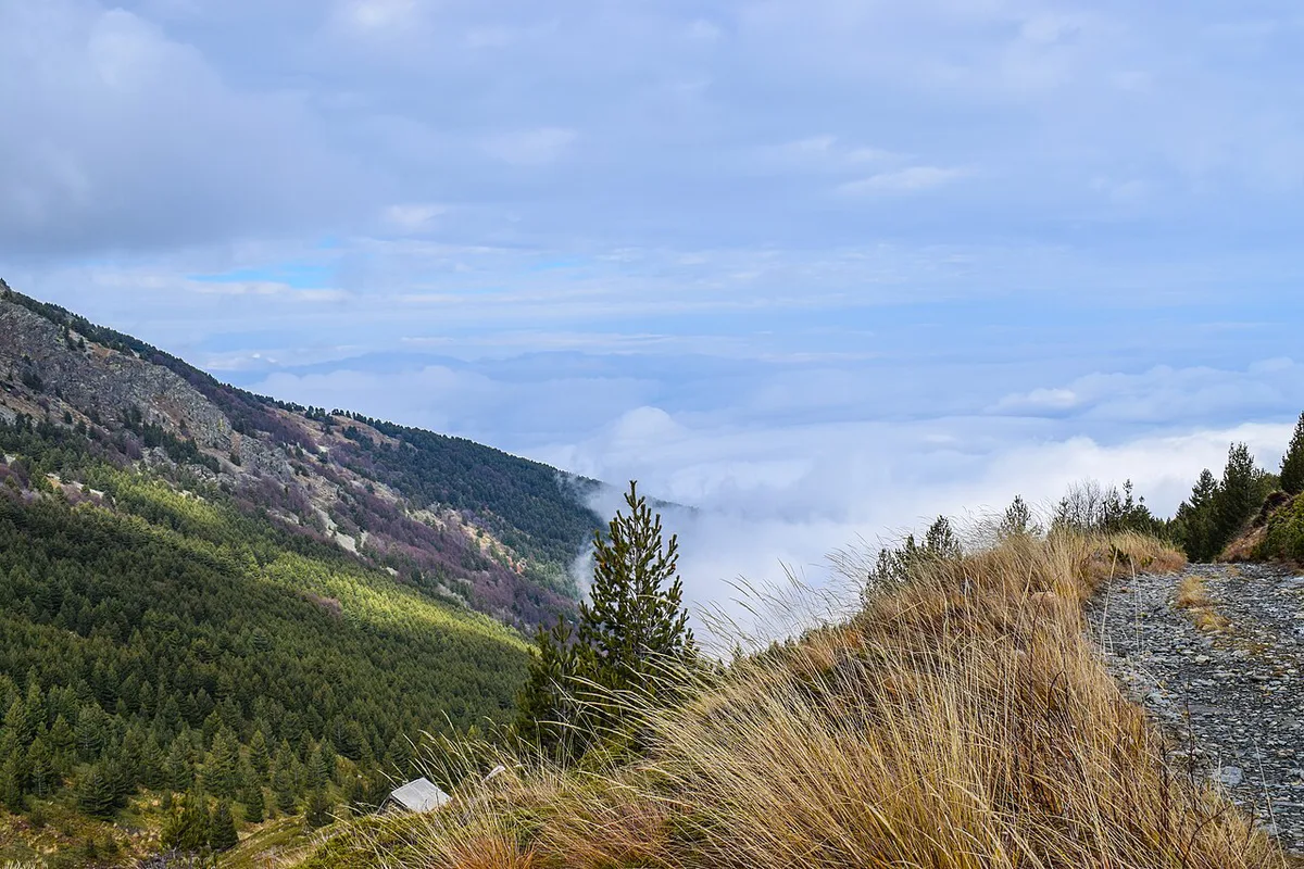
The standard summit route runs about 24 km (15 miles) and takes 8 to 10 hours. It starts at the info center at 1,360 m and climbs to 2,601 m, a gain of roughly 1,240 m (4,070 ft). More than half the trail passes through Molika pine forest. Above about 2,000 m the terrain turns rocky, with stone rivers, mountain springs and remains from the First World War. At the top, a telecommunications building and a monument stand over views of Prespa Lake and the Prespa region toward Greece and Albania. Start early, carry all the water you need and watch the sky from midday.
- Start at first light so you are descending before afternoon weather builds.
- Set a turnaround time before you leave, and honor it even if the summit looks close.
- Wear ankle-supporting boots for the rocky upper section.
- Pack layers, since the summit is far colder than the Bitola valley.
- Download an offline map, as mobile coverage on the ridge is not guaranteed.
Easier walks and family options
Short outings keep you under the trees. The Molika pine forest near the info center is the easiest introduction and works well for families. The glacial Big Lake is a popular objective for a longer half-day walk. Malovishta village, with its stone houses and the St. Ana Monastery set in beech forest, rewards a slower visit. Pick your day using the table below. Times are approximate, so ask at the park office for current trail conditions.
| Option | Effort | Time | Best season | Best for |
|---|---|---|---|---|
| Molika forest walk | Low | Short outing | Spring to autumn | Families, short visits |
| Big Lake area | Moderate | Half day | Late spring to early autumn | Fit beginners, photographers |
| Pelister peak | High | 8-10 hours, 24 km | Summer to early autumn | Experienced hikers |
Costs, permits and opening times
Entry fees, parking charges and office hours are not confirmed for 2026 here. Rates and trail rules are set by the park authority, so check the official Pelister park site before you travel. Tour operators advertise guided day trips, but those prices are marketing rates and do not represent park costs. Budget separately for fuel or a taxi from Bitola, food and any guide you choose to hire.
Fees are unconfirmed here, but the summit route alone takes 8 to 10 hours, so a taxi from Bitola needs a return time agreed in advance.
Where to stay and eat
Bitola offers the widest choice of hotels and restaurants, and it keeps travel time to the info center short. Resen suits visitors who also want Prespa Lake. Malovishta and the park edge have limited services, so bring food and water for any hike. Lodging inside or beside the park changes seasonally, and the park office can tell you what is available. Staying in Bitola also lets you eat in town after a long summit day.
Safety and border notes
The park's southern boundary is the Greek border, so carry photo ID on every outing. Stay on marked trails near the frontier and ask the park office about border-zone rules before you head for the ridges. Mountain weather turns fast, and storms can build by afternoon. Tell someone your route and your expected return time. Avoid these common mistakes.
- Starting the peak hike late in the morning.
- Skipping a weather check the night before.
- Wearing trainers on rocky upper sections.
- Leaving ID in your hotel near the border.
- Assuming you will have phone signal for navigation.
Combining Pelister with other Balkan parks
Pelister pairs naturally with Prespa Lake and Bitola's old town. Ohrid-based travelers can add Galicica's lake ridges on another day. Heading north, Mavrovo's mountain landscapes offer a different side of North Macedonia. If you enjoy dense mountain forest, compare Pelister with Tara's forested canyon country. Sutjeska's high peaks and old-growth forest make another good contrast. The Macedonia Timeless tourism portal offers wider trip-planning context.
Notes for your next park visit
Optional updates to our national park guides.
Read next
Keep planning
Picked from the same area